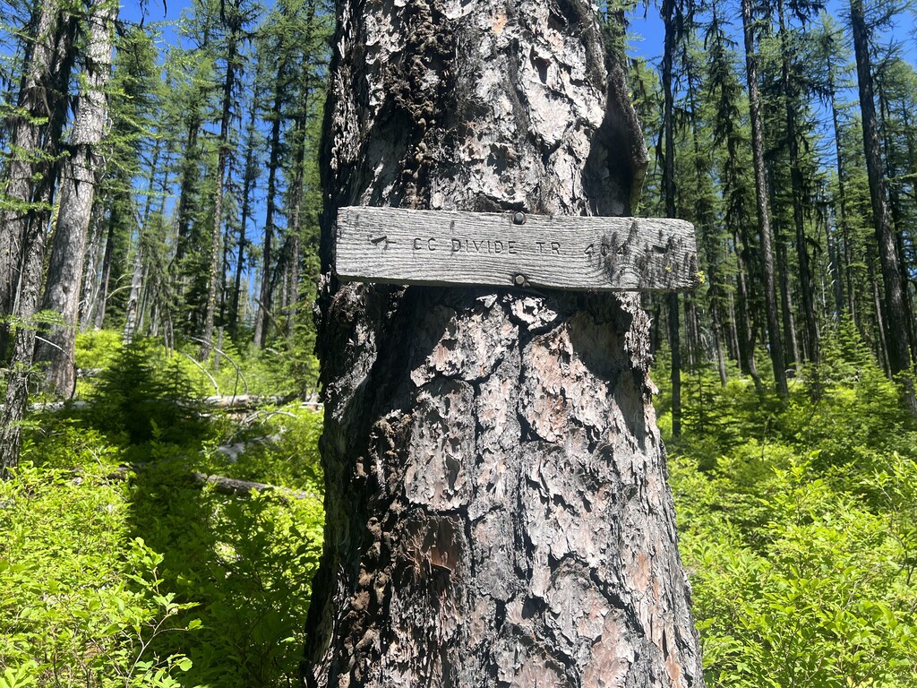
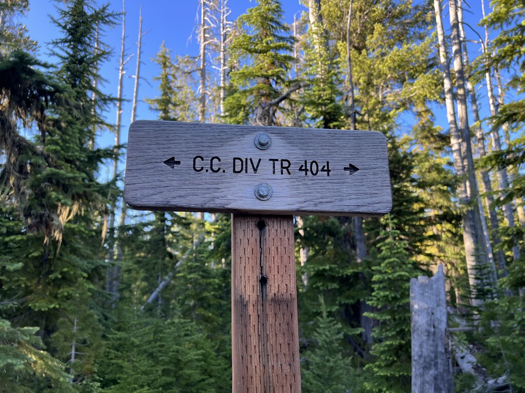
CC Divide trail 404 follows the crest of the Coeur d’Alene Mountains for about 63 miles. The western trailhead is at Thompson Pass on Forest Highway 7 between Wallace, Idaho and Thompson Falls, Montana. The eastern trailhead is at Dolan Pass on Crow Creek road south of Plains, Montana.
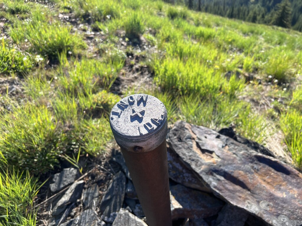
The western end of CC Divide trail follows the Montana and Idaho border for approximately ten miles. Although several sections of the original FS 404 trail along the crest proper have fell into disuse, the route can still be pieced together along several existing trails and some off trail route finding along the crest.
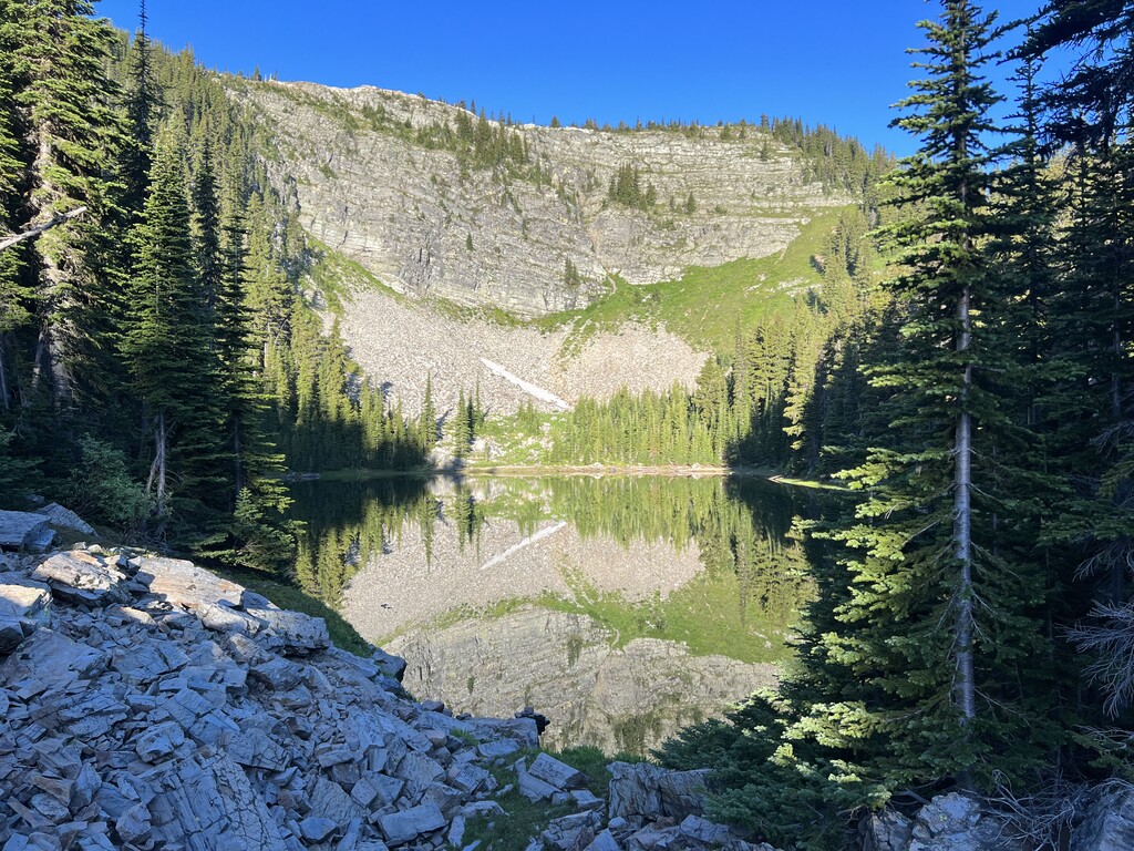
From west to east the trail passes several sub-alpine lakes including Blossom and Pear lakes before ascending to Glidden Pass. The trail then becomes faint as it heads up along the ridgeline proper before descending back down to Cooper Pass. Here the old 404 trail no longer exists. Instead, users drop down to Upper Glidden lake and climb past Burke Summit before continuing on to follow the 404.
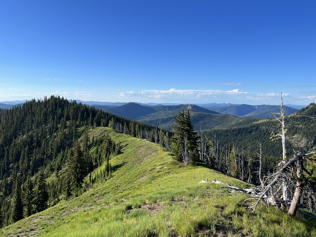
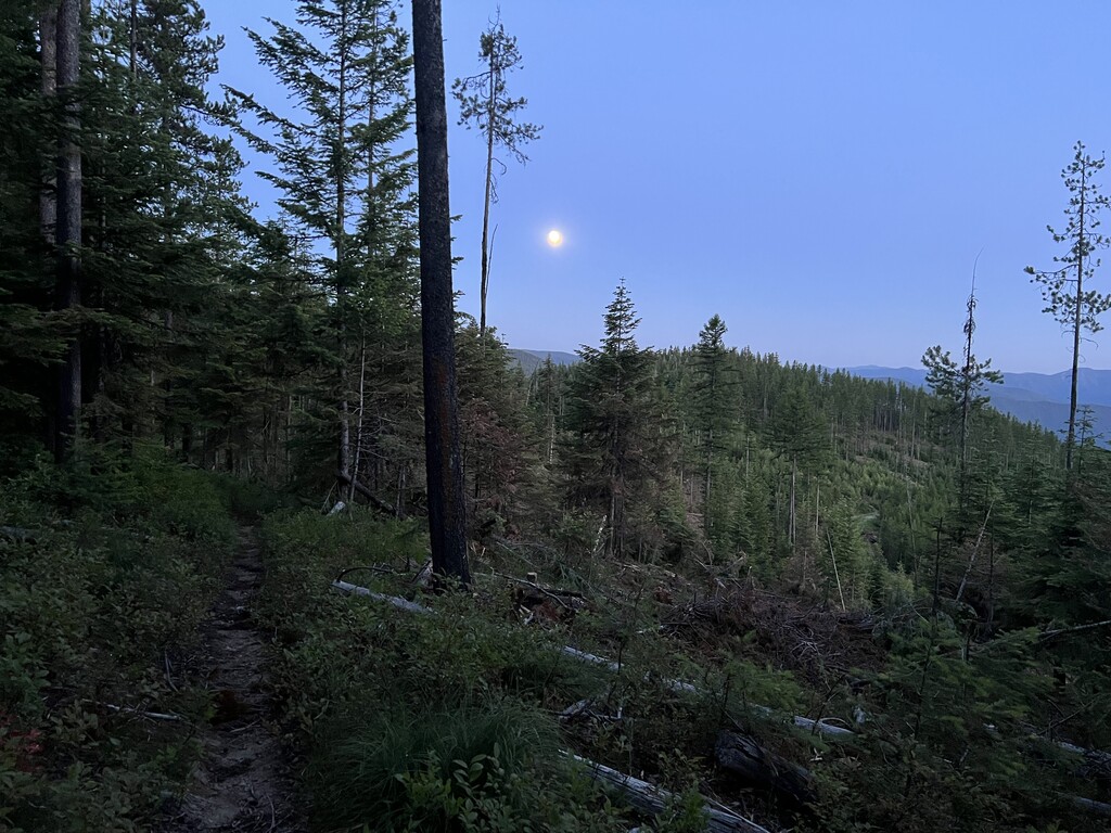
The CC Divide is a long distance adventure along mostly ridgelines with expansive views into both Idaho and Montana. Among the dense forest landscapes are historical mining prospects and abandoned logging roads. The route ascends several high points including Mount Bushnell.