
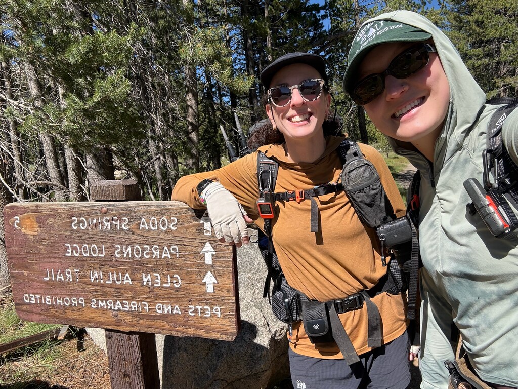
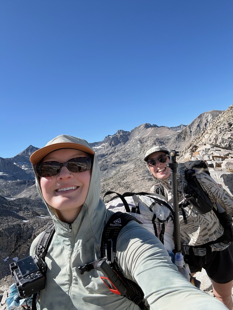
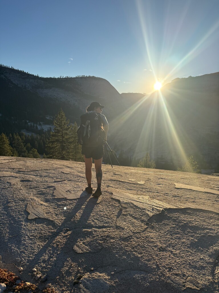
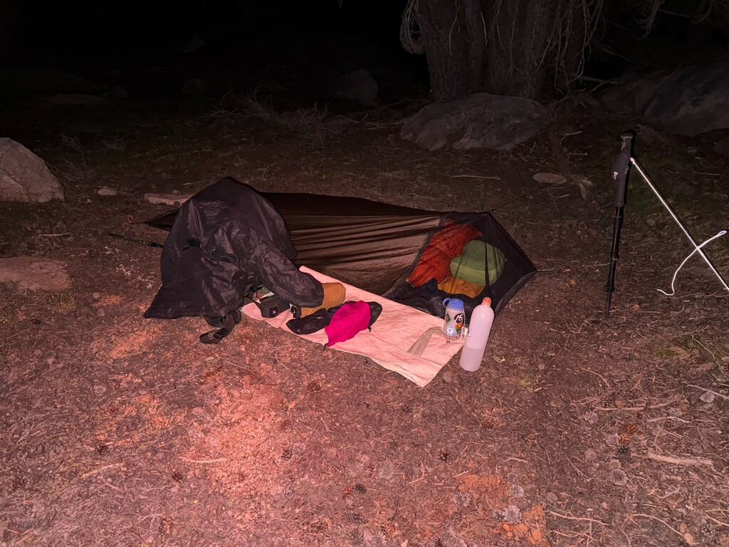

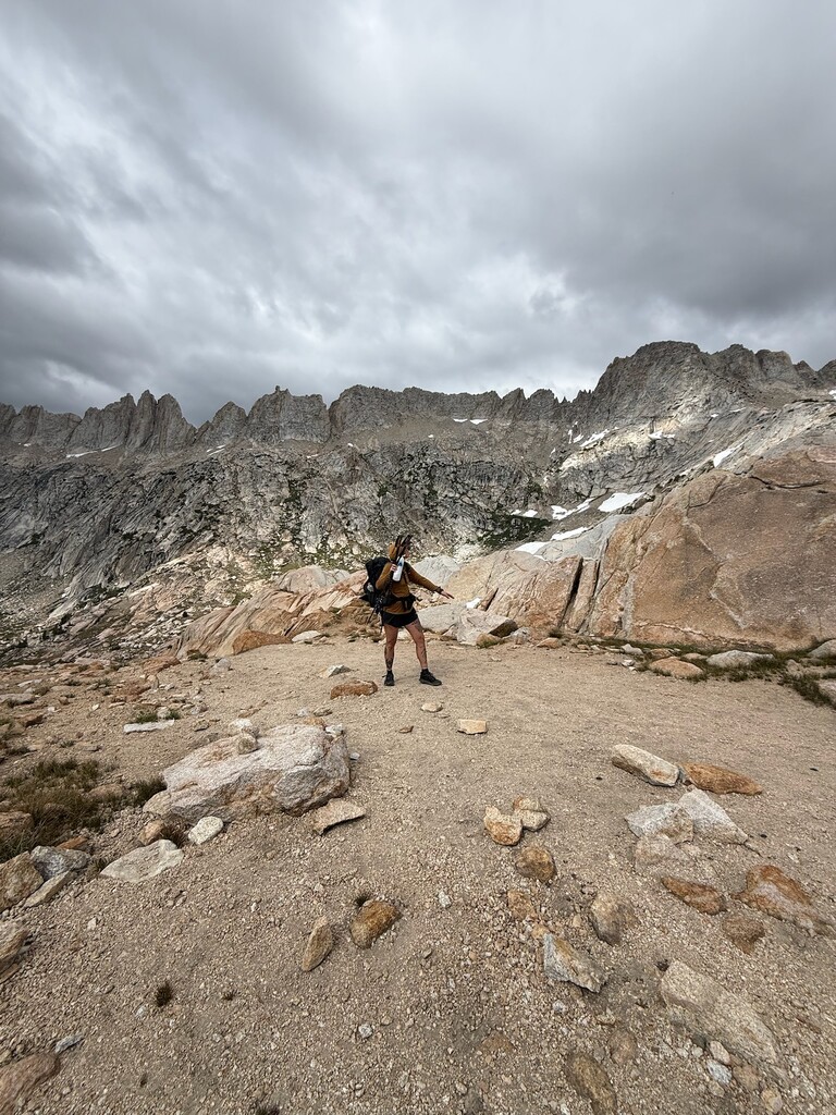

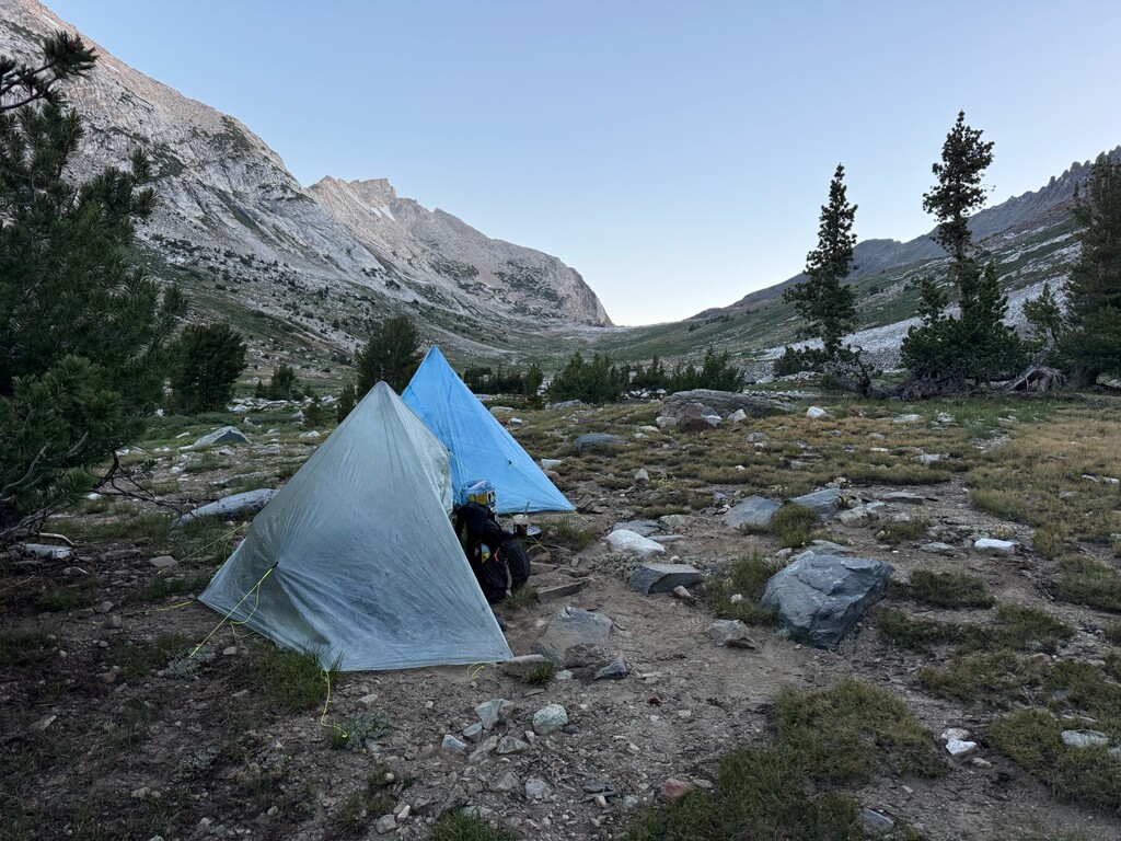
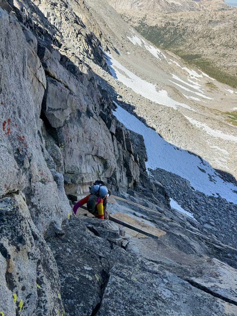
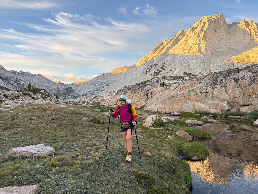
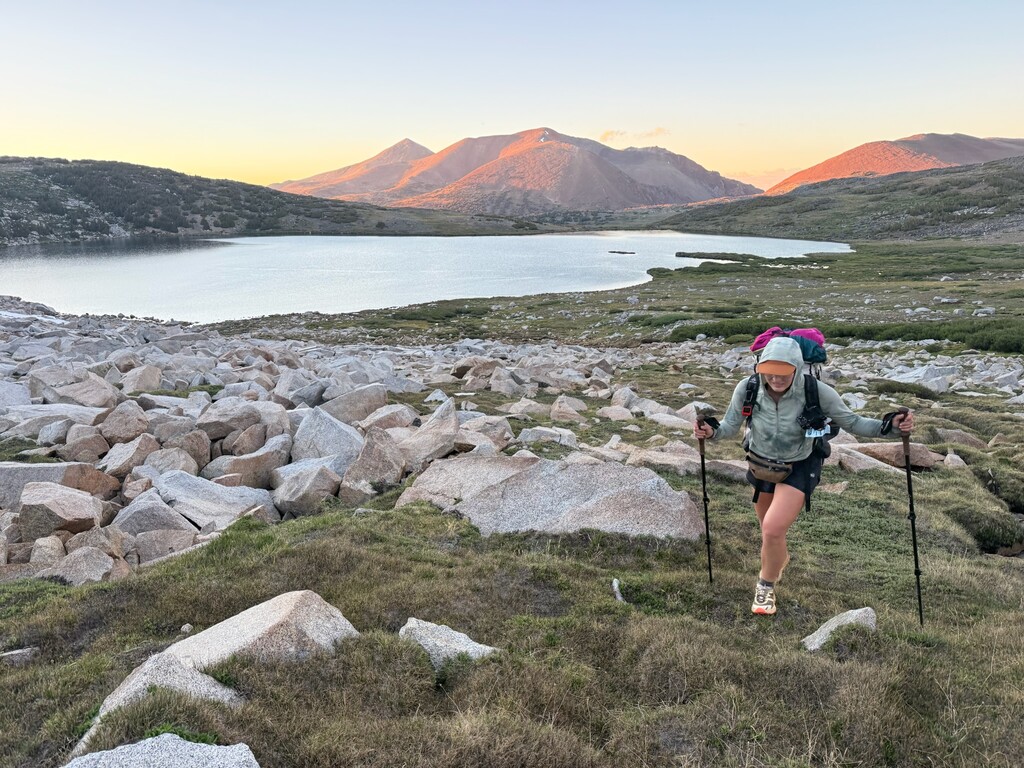
We (Elise/SOS and Leslie/rally) completed the Yosemite High Route as a North-to-South thru-hike on July 10th at 8:07:50pm. We began the route at 6:45 am on July 4th. Although Andrew Skurka suggests in his guide that one begins at the northern terminus, hikes to Toulumne Meadows, does a non-route-miles approach to the southern terminus, and then hikes back to Toulumne, we decided to follow the route from north to south as a continuous journey. This approach is most similar to the GPX route posted on the FKT website but differs from the currently listed FKT established by Reness Jacobs on 10/4/2024.
Day 1: 13.1 recorded miles, CR-00 - just passed CR-07 (12ish route miles)
Departed the PCT at 6:45am after a 50 mile, 3-day approach hike through the Grand Canyon of the Tuolumne. Followed the creek through mosquito-filled woods to Keyes Peak Pass. Tower Peak Pass, Shelf Pass (we lost each other on this descent), and Willow Pass. Camped on the descent after a long day where our communication wasn’t clicking the way it has on the other high route adventures we’ve done together.
At camp we were very confused by rumbling sounds in the distance for some time before realizing it was the Fourth of July.
Day 2, 16.7 recorded miles, CR-08 - just passed CR-17 (15.2ish route miles)
From the base of Willow Pass, we made our way to Kerrick Meadow. We intersected the Buckeye Pass Trail, and had some cruisy miles on it and the Rock Island Pass Trail.
We departed the trail for Rock Island Lake Pass, and enjoyed views of Rock Island Lake. Our climb over the pass was straightforward and uneventful. We had lunch on a perfect granite bench next to a creek.
Post-lunch route finding consisted of navigating through a use trail around and somewhat through ‘the slide’ a massive rockslide that occurred in the canyon and for which it is now named. We found a bizarre sort of entertainment checking out the Colorado snow gauge. To see something so obviously man-made so remote in the backcountry is always a bit…strange.
We intersected the Burro Pass trail and followed it up. This marked one of the few areas we saw other people. It was a magnificent ascent with views of Sawtooth Ridge and our next destination, Matterhorn Pass. We were thankful for the trail miles as it gave us some time to soak in the beauty of the high country, and give our legs a bit of a rest from off-trail terrain. It didn’t last too long though. Shortly after descending a bit of the Burro Pass Trail, we left the manicured dirt behind and contoured toward Matterhorn Pass. We were not able to completely avoid the suncupped snow on our ascent, but luckily it wasn’t steep. Finding the descent from Matterhorn Pass proved to be a bit enigmatic- we took the south route down a steep chute filled with mineral sand and loose rocks.
When we made it down to Spiller Canyon, we were surprised that we would not be the only ones camping there. We met another backpacker whose crew planned to cross Horse Creek Pass the next day. We made camp near the base of Stanton Pass on the flattest patch we could find, guarded by some krummholz.
Day 3: 20.6 recorded miles, just passed CR-17 - CR-29 (21ish route miles)
We started the day with Stanton Pass which was quite spicy towards the top, requiring us to follow steep cracks in slabs. The descent was fairly straightforward, and we contoured towards a saddle next to Grey Butte (and saw a ptarmigan on the way!) before dropping down to Soldier Lake. From there we descended slabs towards the Summit Lake Trail which we followed for a bit before crossing Return Creek and climbing through a million blowdowns to a ridge before dropping back down to a meadow. We followed McCabe creek through the woods and then up slabs to Upper McCabe Lake which was stunning. We contoured around the lake, wishing we could stop to camp but vowing to come back, before climbing across talus and snowfields up to Don’t be a Smart Pass. We met a ranger at the top of the pass and hung out to snack for a bit before descending to Roosevelt Lake. We decided to push forward to Toulumne Meadows and the backpackers campground for the night rather than being stuck camping 4 trail miles out as is required. By the time we hit Young Lakes and an on-trail section of the route we were hiking by headlamp, and didn't make it to camp until around 1am.
Day 4: 11.7 recorded miles, CR-29 - CR-52 11 route miles
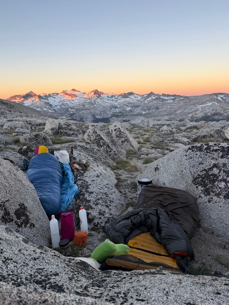
We spent the morning at Tuolumne Meadows resupplying and charging devices. We had left our resupply in the bear boxes near the Lembert Dome parking area and were very happy to see it hadn't been taken. We headed back out a bit before 3pm. The first few miles were on trail, then cross-country through some forest and meadows before meeting up with the Parker/Mono Pass Trail. We passed Spillway Lake and Helen Lake before scrambling up to the Kuna Crest Saddle where we camped outside of the wilderness permit camping perimeter/boundary with an absolutely stunning sunset and sunrise over the Clark Range we would soon be traversing.
Day 5: 11.86 recorded miles, CR-52 - just passed CR-45, 11ish route miles
We came down from Kuna Crest and contoured over to the JMT where we were on trail for a super short period of time but saw 9 people. We departed the JMT for Russell Pass, stopping at Maclure Lake for lunch and to take in views of the glacier. We traversed long suncupped snow fields and the glacier before reaching the top of the pass. We spotted a party behind us on the ascent but never saw them again. The descent from Russell was loose and steep, and broke one of Elise's trekking poles.
We opted to contour around a tarn before descending slabs to a beautiful basin/valley on the other side of Mount Maclure before navigating our way up ledges to Sluggo Pass. We descended Sluggo to another beautiful basin and made camp staring out at Mt. Ansel Adams. The Milky Way was really popping this night
Day 6: 14.5 recorded miles, just passed CR-45 - CR-37 14.6ish route miles
In the morning we made our way around Lyell Fork Lake and ascended slabs and large talus to Forester Ridge Pass. The descent was incredibly chill, but long as we contoured wide to avoid downclimbing some class 4 slabs. We hit Harriet Lake and took a dip before cresting a small saddle and dropping through some woods where we had lunch on our way to find the Isberg Pass trail. Leslie was experiencing back pain this day which compounded as the miles went on. We took the Iseberg Pass Trail to the Red Peak Pass Trail for 9 cruisy miles. Although we had intended to push on over Sue Pass and camp by some tarns, the back pain had escalated to the point that camping near the departure from the Red Peak Pass trail made the most sense should the decision to cut the route short in the morning need to be made.
We turned in earlier than we ever do while tackling routes together, but had the absolute treat of watching the sunset on the Cathedral Range where we could trace the enormous journey we had made.
Day 7: 10.4 recorded miles, CR-37 - CR-30, 9.5 route miles
We woke up to find that Leslie's back pain had not progressed and felt optimistic to push forward and see how the morning would shake out. We departed the Red Peak Pass trail and crossed over Sue Pass. We made a few navigational errors on both sides of the pass- the route south of Toulumne is described in reverse by Andrew Skurka and our brains weren’t flipping things around well. After descending on talus and ledges to avoid snow we gained the ridge in different spots to descend to Adair Lake. After meeting back up near its outlet we made our way to Lemonade Pass.
Lemonade Pass lived up to the comments we had heard from friends- it was steep and very loose. The descent was also steep and loose, but mostly traded mineral sand for talus which we prefer. When we got to the flatter areas of talus at the bottom we contoured over to a smaller, second pass on beautiful granite slabs and had lunch at the gorgeous unnamed lake below Mt. Clark. We hopped the outlet on the west side and stayed on nice granite, descending to the base of the ridge before Quartzite Peak. We ascended the ridge by hopping across refrigerator-sized talus sprinkled with pine trees and were met with amazing views. A turn northwards and gentle terrain brought us to the summit where we signed a summit logbook that had been placed on September 11, 1988.
The descent was a doozy! It started out steep but cruisy, but continued on (seemingly forever) to include debris fields, wickedly steep slabs, and ankle-biting vegetation while dropping 3,500 feet in about 3 miles. It took forever. We were able to find the “edge of the ledge” Skurka had described fairly easily, making the last 1.5 miles a beautiful walk on granite slabs down to the Merced River Trail where the route finds its Southern Terminus. We hit this marker at 8:07:50pm, collected some water at the river, then hiked back up the slabs to set up camp for the night before the dark settled in.