I started from the Necklace Valley trailhead at 6:55am heading south to Snoqualmie Pass, where I would use my house as a mid-way aid station. Despite slow going terrain and losing some time making bad choices in a boulder field, the first leg of this yo-yo went better than expected (see one-way route for more details) and overall I felt great the entire time. 11 hours & 19 minutes after I started I made it to the PCT trailhead and now just had to run 1.5 miles back to the most luxurious aid station ever.
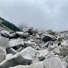
A huge calorie deficit & 4 hours of sleep later, I ran the 1.5 miles back to the PCT trailhead and discovered that the humidity and spider webs were still out of control. I’ve never sweat so much at 4:30am. It rained overnight and the overgrown section down the Old Cascade Crest trail had me completely soaked. This time around I found a way across Burntboot creek without getting in the water, although it was more time consuming. The slightly uphill grind out of Goldmyer was a drag, but the Dutch Miller Gap trail that seemed like it lasted an eternity on day 1 somehow flew by the 2nd time around. I made better choices climbing out of Williams lake and was once again picking my way through the boulders of Chain Lakes.
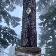
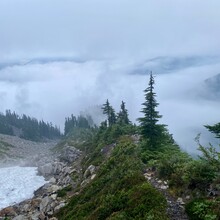
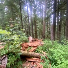
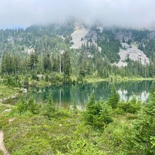
Definitely moving slower on day 2, but I navigated more efficiently and made up some time. For a quick minute I thought I might finish the 2nd leg in close to the same time as day 1, but the wheels started falling off the last 10 miles…the fog broke, it got super hot, and after La Bohn gap when I finally made it back to civilized trail I kept get off track on all the winding social paths from being tired and not paying attention and wasted time having to backtrack a couple times. I was looking forward to the last 8 miles of downhill, but forgot how steep and rocky the first 3 miles are leaving Jade lake and it absolutely sucked my will to live. So slow going and my feet were killing me by this point. I tried to pick the pace back up for the final 5 miles of rollers, but it was an intermittent shuffle at best. Finally at 6:15pm, an elapsed 35 hours and 20 minutes after I had started from this same spot, I’ve never been so happy to see a trailhead sign!

Comments
Epic! I'm curious about where you crossed Burntbook Creek. I've crossed ~100 yards upstream from the Mid Fork Trail, where the creek is split in two "forks" and there's a big log across the north "fork" that ends right next to one of the Goldmyer campsites. But the south "fork" required wet feet, at least in early August. Did you rock hop that, or find a better place altogether?