Location
Washington,
US
Distance
54.3 mi
Description
GPS Track
La_Bohn_Traverse_NOBO_SOBO_YOYO.gpx419.58 KB
FKTs
Female
| Lisa Green | 11h 19m 51s |
Female
Male
| Lisa Green | 1d 11h 19m 53s |
| Brad Hefta-Gaub | 2d 14h 36m 29s |
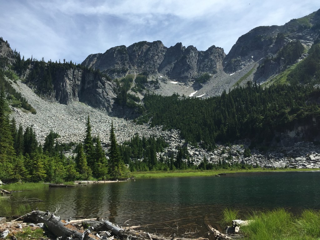
Images