
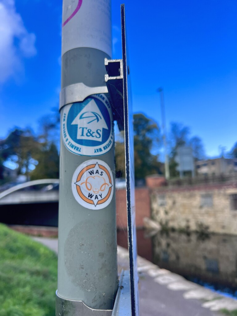
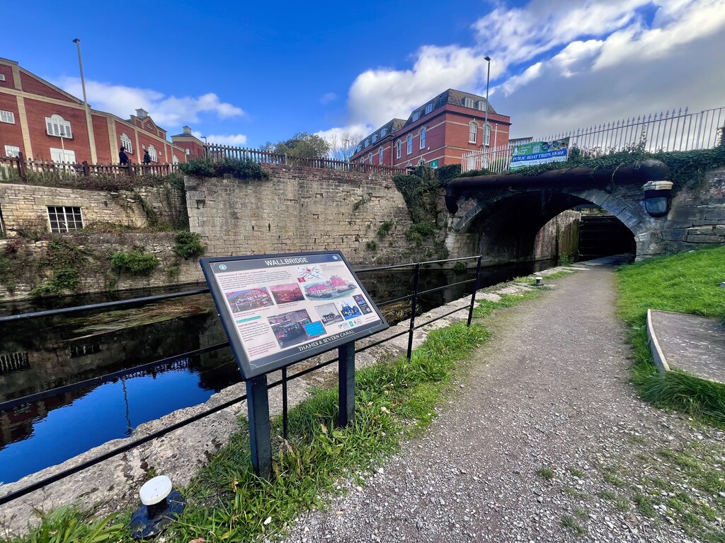

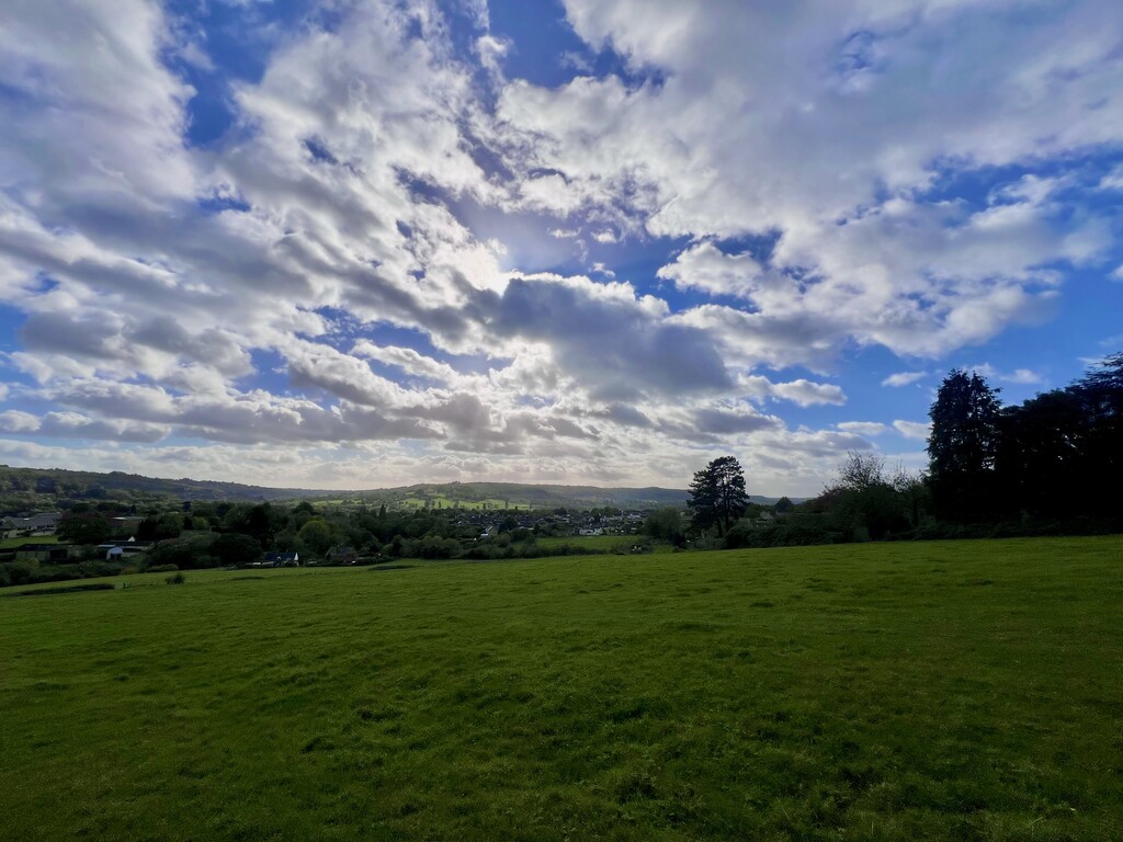
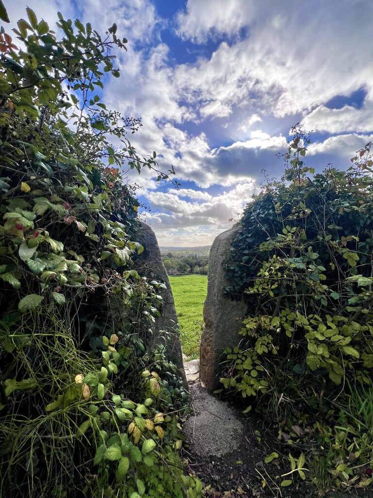
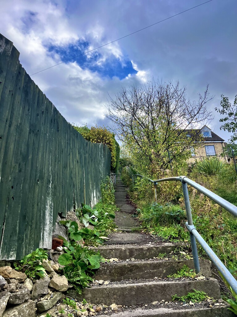
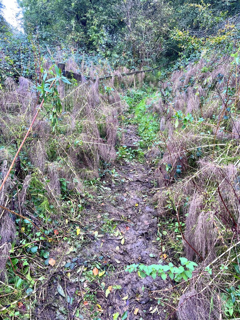
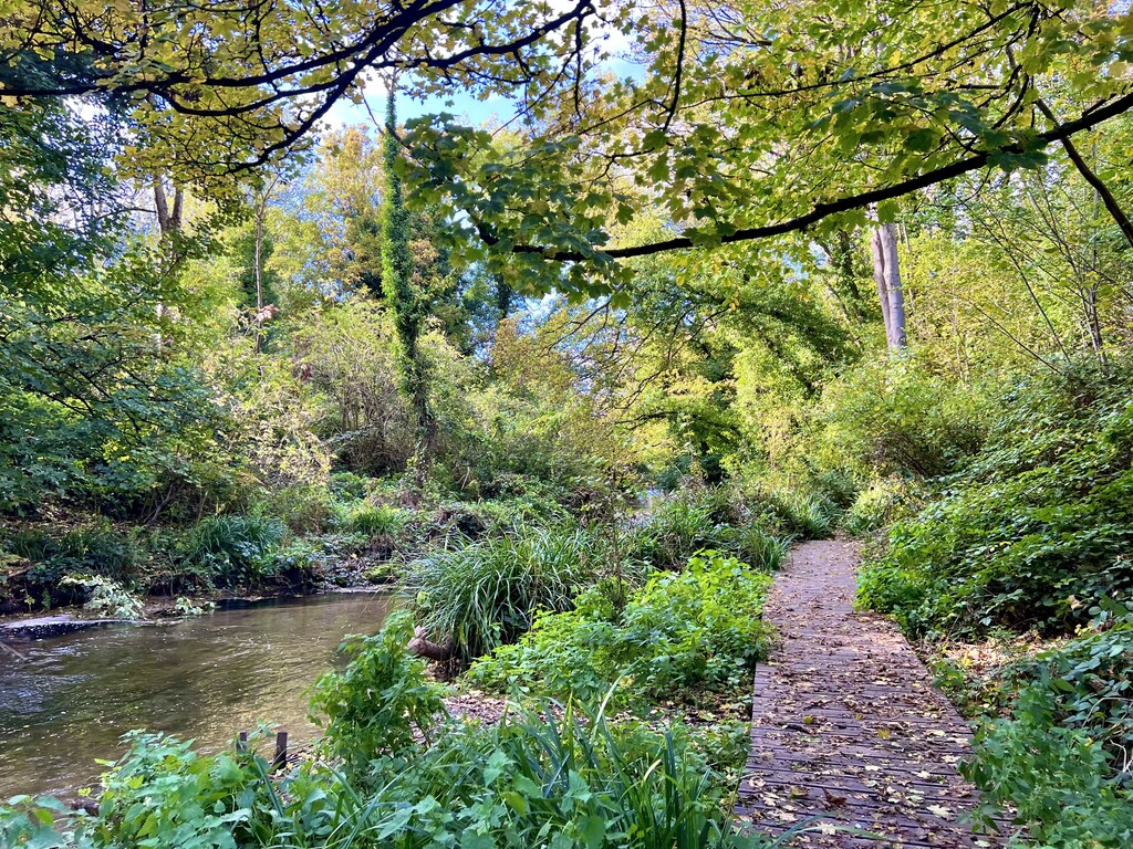
A bit of everything on this loop route from road, tow path, footpaths, fields, woodland and a nice bit of rolling elevation. First few miles through town/suburban area then up into grass fields for some nice panoramic valley views. The Way markers are not always clear - the stickers have degraded in places so not always visible on the footpath signs or stiles. It was particularly muddy and slippy towards the later part of route. Would recommend wearing trail shoes with some lugs if it has been wet weather even though there is significant tarmac on this route overall. Windy weather the day before meant some trees were down covering parts of the path so they had to be navigated around. One field of cows encountered which was cautiously crossed due to the number in the herd and the young cattle seen. Last few miles you drop down through a cemetery, which is easy to lose the trail slightly with the numerous pathways then it is a flat, pretty run through woodland along the bank of the River Frome back to the start point.