Location
United Kingdom
Distance
10 mi
Vertical Gain
1,570 ft
Description
GPS Track
TheWASWay_Run.gpx2.54 MB
FKTs
Non-binary
| Suki Nightsward | 2h 36m 47s |
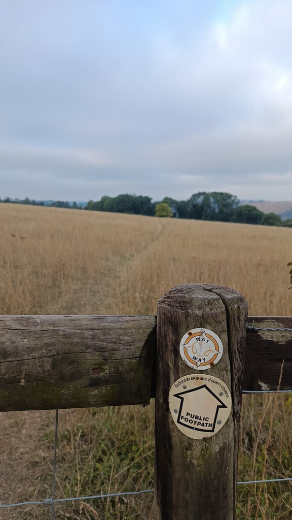
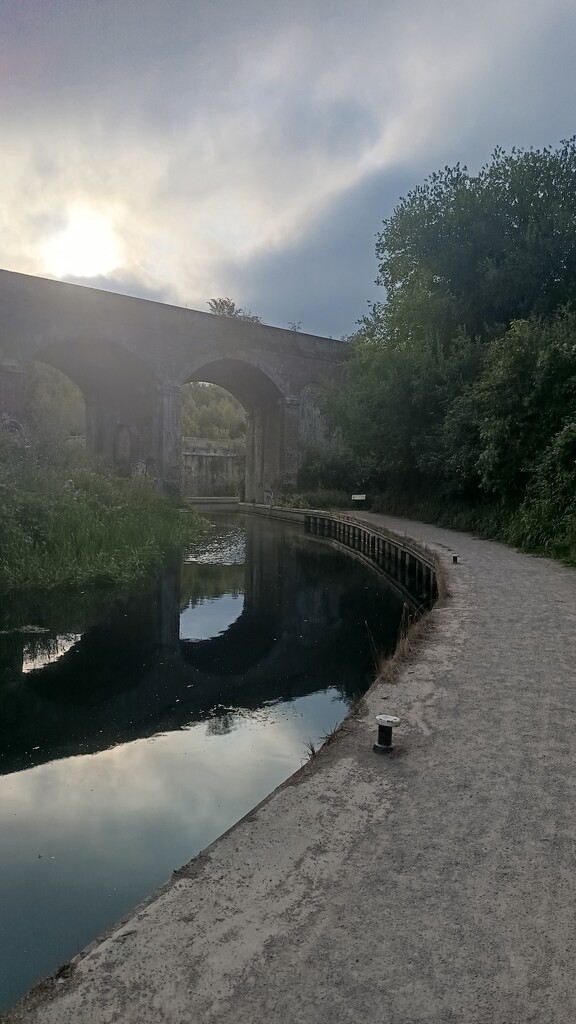
Images