
From the lowest to the highest point in Norway
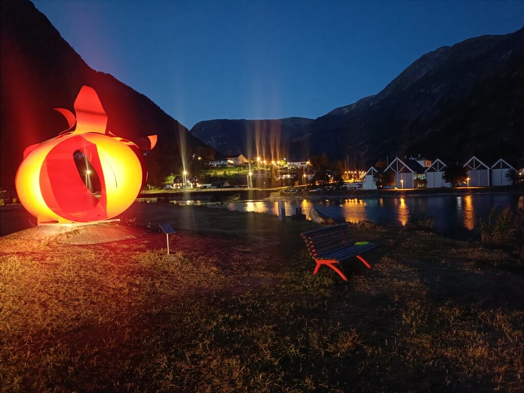
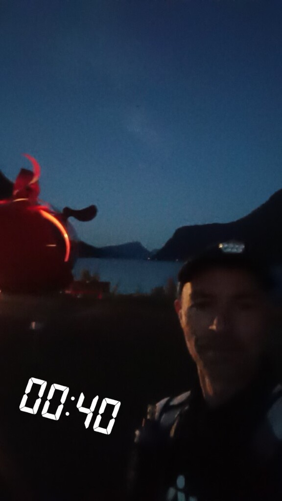
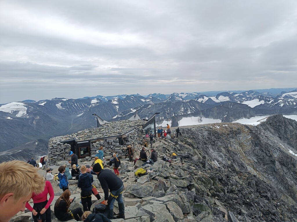
The route takes you from sea level in Skjolden all the way to the roof of Norway, Galdhøpiggen at 2,469 metres above sea level. To get there, you travel straight through the heart of one of Norway’s most spectacular alpine mountain regions.
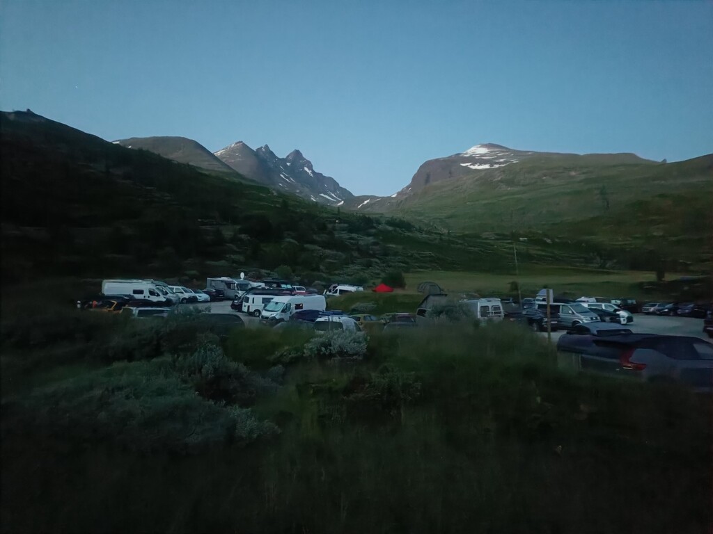
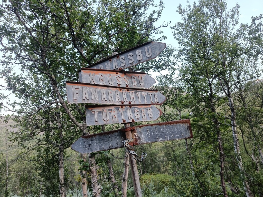
The first 16 km are more of a transport section on asphalt, climbing around 900 vertical metres up past Turtagrø. From there, you leave the road behind and head into the mountains.
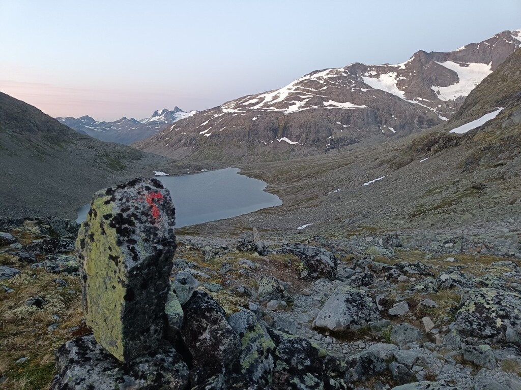
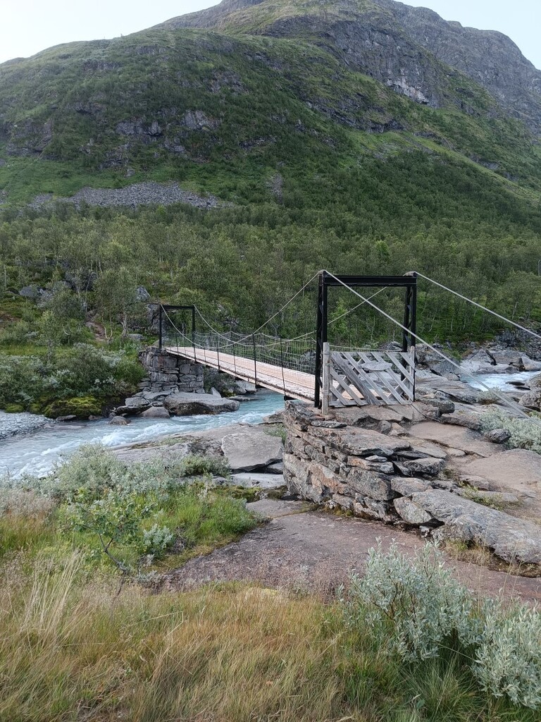
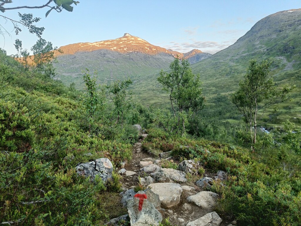
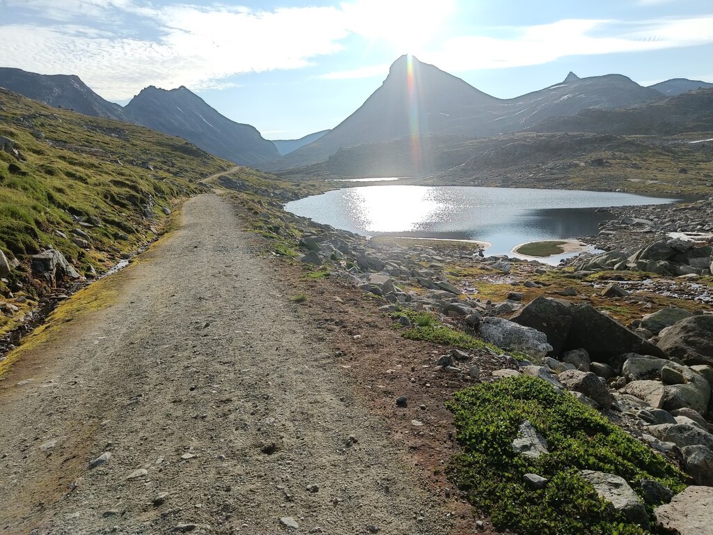
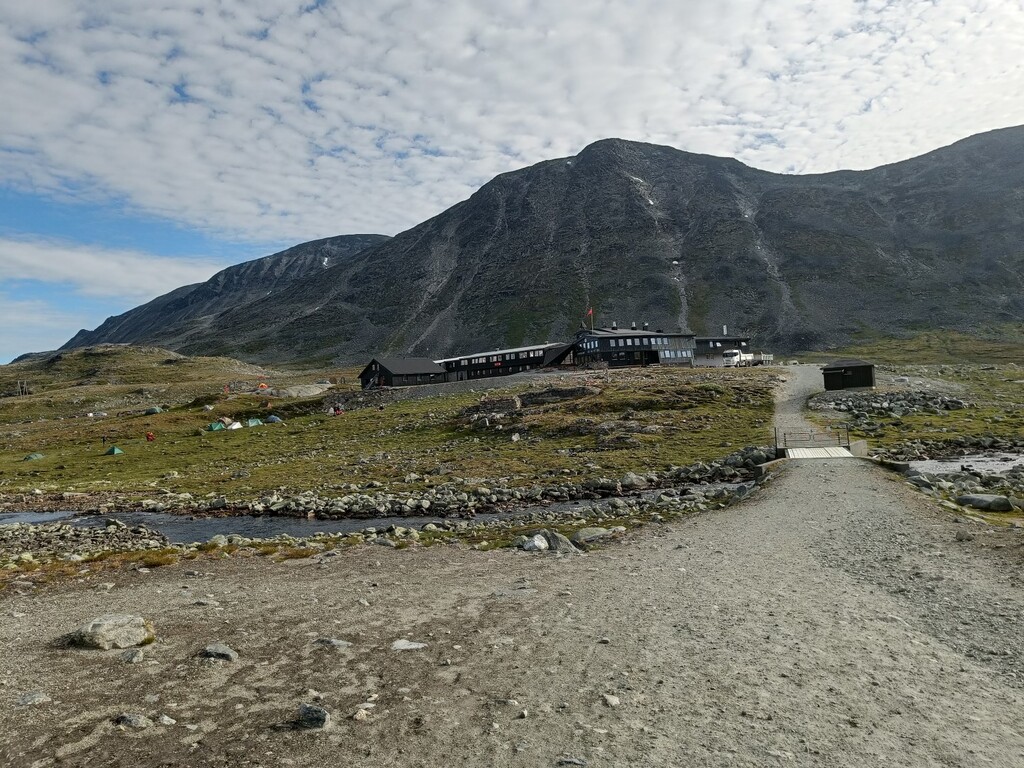
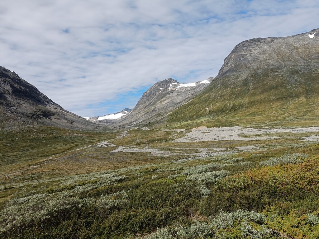
There is a lot of runnable terrain from Turtagrø all the way to the bottom of Gjertvassdalen. Heading up Storutladalen, the terrain gradually becomes rougher until you reach the service/gravel road about 5 km before Leirvassbu. From Leirvassbu towards Spiterstulen, the trail is rough, with plenty of rocks and scree, so this section was mostly walking.
I had almost perfect conditions – a comfortable night, and clouds moving in when the temperatures got high during the day. No wind at all up on Galdhøpiggen.
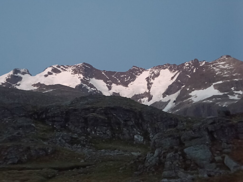
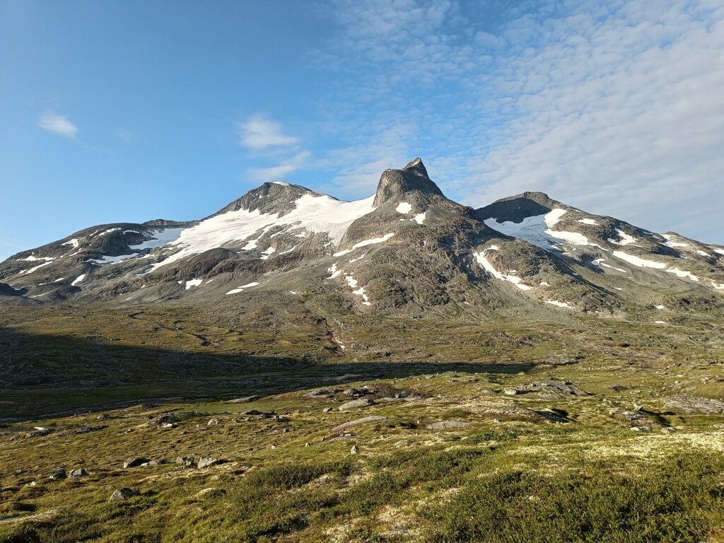
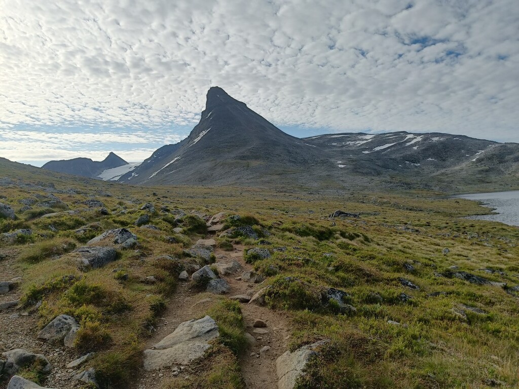
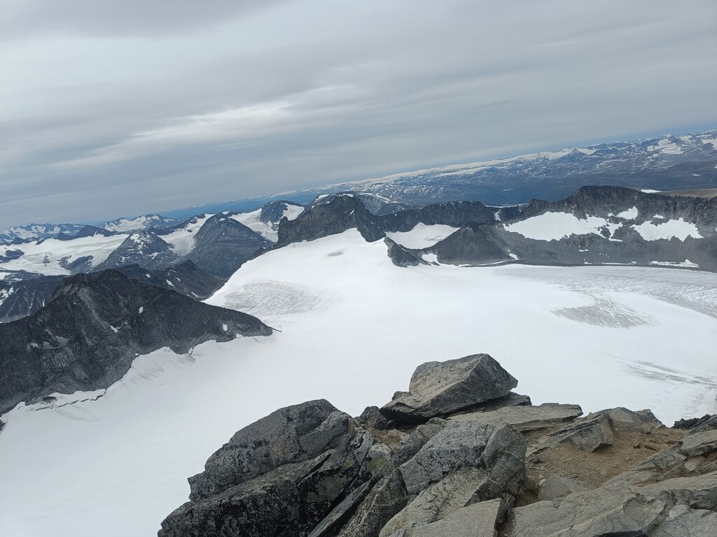
The area and the views are absolutely amazing, with majestic peaks everywhere you look and constantly changing scenery along the way. Definitely a trip I can recommend!
Since I was travelling alone and spent a lot of the time out there at night, my focus was 100% on safety. No pushing beyond my limits – I had one main goal for the trip: to reach the top in one piece. I compensated for the slower pace by taking very few breaks along the way.
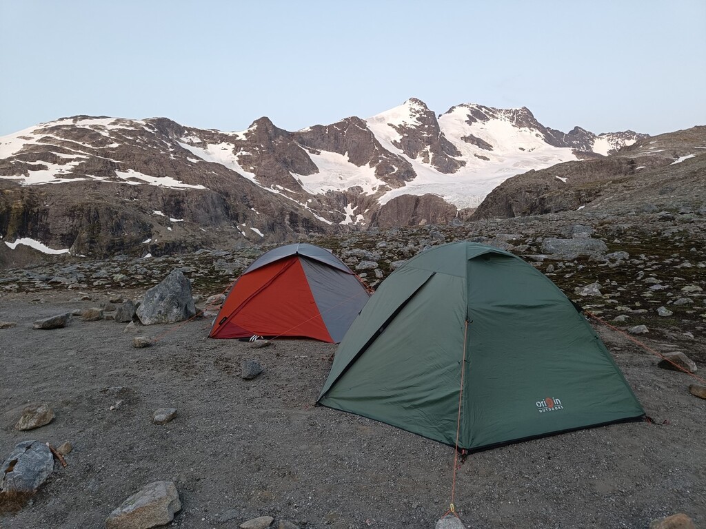
The trip was done unsupported, and in high mountain terrain, where temperatures can drop below freezing at night even during summer, I carried some additional safety equipment on top of my usual ultra-running terrain gear. This included extra warm clothing, a more substantial emergency shelter, and a Garmin inReach.
Combined with extra food this added quite a bit of weight to the pack, but it was equipment I considered necessary.
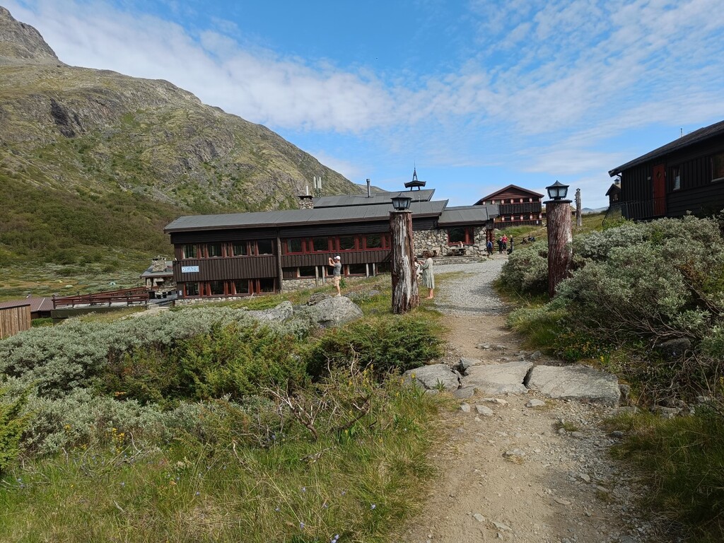
It was also reassuring to know that the route passed several mountain huts along the way, in case I needed assistance or supplies in an emergency.
Despite the warm weather and much snow melting earlier this summer, finding drinking water was never really a problem, with plenty of streams and rivers along the route.
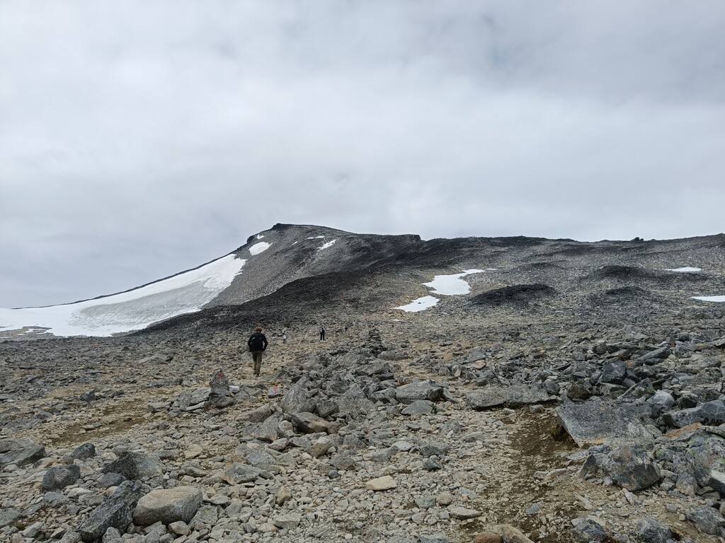
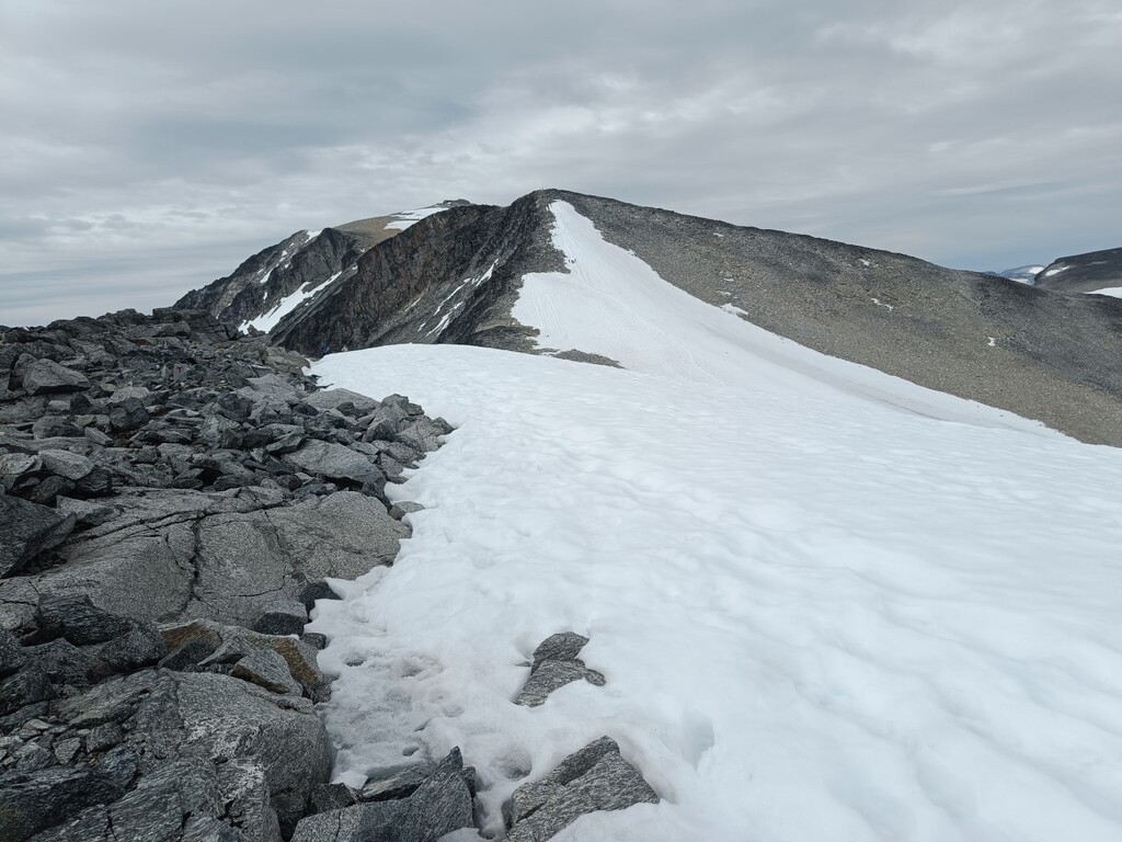
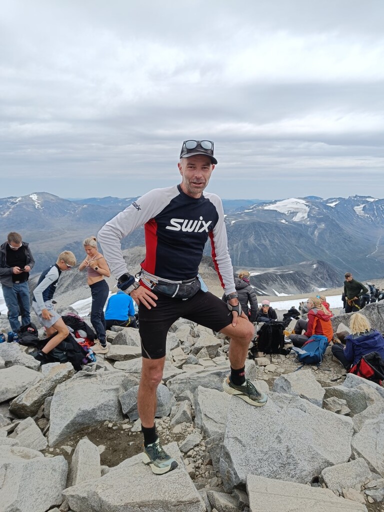
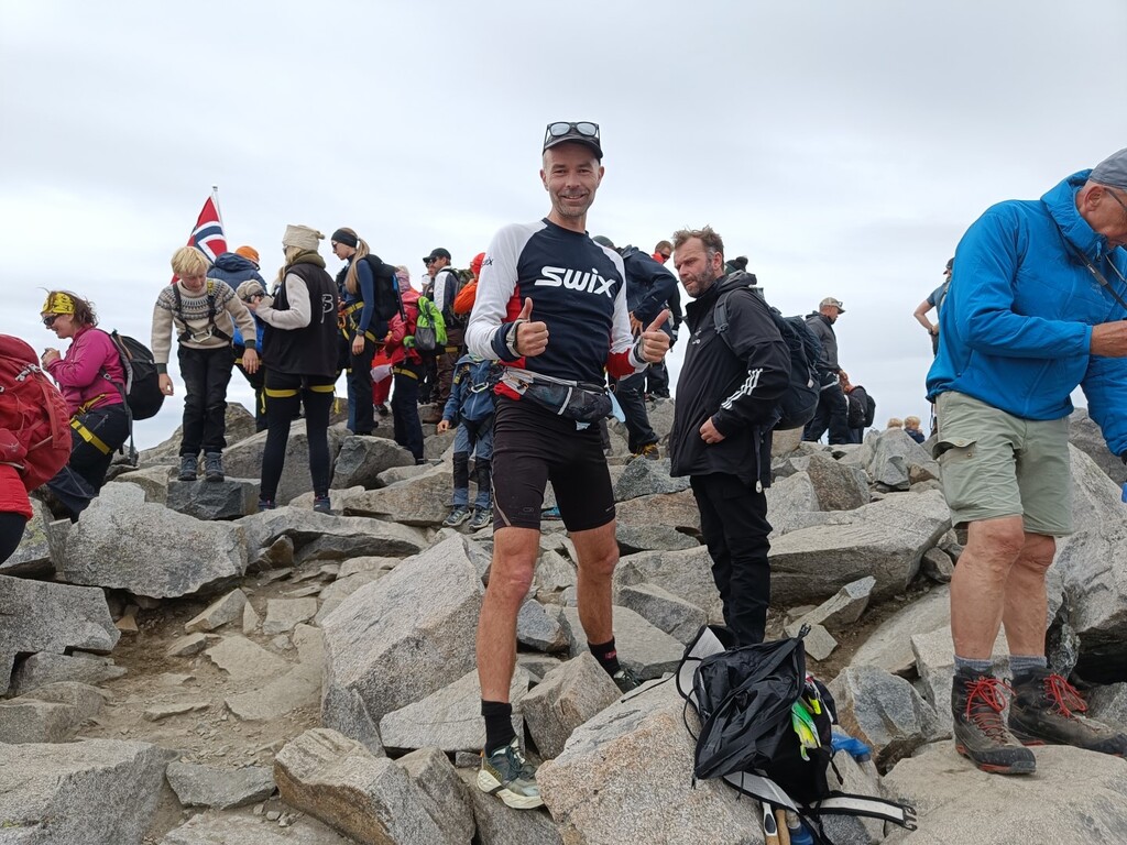
The final climb from Spiterstulen to Galdhøpiggen adds almost 1,400 vertical metres, and for an already tired body, it was both interesting – with plenty of people around – and demanding, with a lot of rocks and scree all the way to the summit.