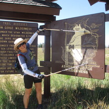
We're in the Cedar City area for a few days, looking for places to explore. Ashdown Gorge seemed interesting, having seen Cedar Breaks NM from the top. I was curious why no one had run the FKT yet - perhaps I should try it and report back. A bit of research on the trails suggested Potato Hollow might be a bit challenging to follow.
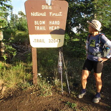
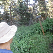
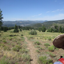
I started down the Blowhard Trail (good views!), finding it just as steep as reported. No problem on foot, not something I'd want to take a bike on. Soon I was on the Potato trail. It appears like a route that equestrians sometimes use, and it was in decent (although not ideal) condition. There are ways around the larger down trees. There's a long section of overgrown grass - no problem traveling through it but my shoes got squishy from the morning dew.
Just past the intersection with the Long Hollow trail, there's a large fallen aspen tree. The trail isn't obvious from that spot and I tried a couple directions before tracing it down with the track on my phone. Ah ha, it's actually up to the right as a switchback.
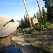
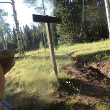
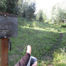
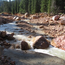
Once over the little saddle it's a nice downhill run to the dirt road (even saw a couple "TRAIL" signs). I found the turnoff toward Ashdown Creek just fine, then made my second error when I missed the left-turn switchback at the cairn. I decided not to hop rocks across the creek and just waded through (easy peasy). If you're looking to filter water, I'd hold off for Rattlesnake Creek instead of this rather-silty option.
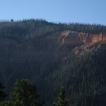
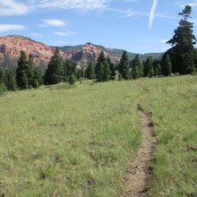
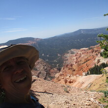
The whole area down in the gorge looks fun to explore, but I had places to be that day. Potato Trail traverses around to Rattlesnake Trail which I was hoping was in better condition. Indeed, it gets more foot traffic. Some traverses could use a little love to widen the path, but it was a straightforward climb out. More nice views of the Cedar Breaks geology.
One fun feature of this route is glimpsing the Blowhard Mountain radar tower from different angles - you can often see where you started as you work your way around the giant "C".
A couple intersections led a short way to overlooks, which are worth the quick out and back. I saw a family of 4 up here, for a total of 5 people I saw all day (including one guy with a backpack). Then it was a smooth run over to the Rattlesnake Creek trailhead at the road. Fun first half, in 4:37.
John helped me with a water refill (this would be an easy spot for a self-supported water stash) and I turned around to reverse steps for the other half of the rim-to-rim-to-rim. I ended up running the second half faster than the first, so I'm submitting that part as a "One Way" effort and the rest of my write-up and pictures are in that report.
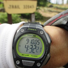
I got back to the start in 9:10, happy with this choice for a day of exploration!

