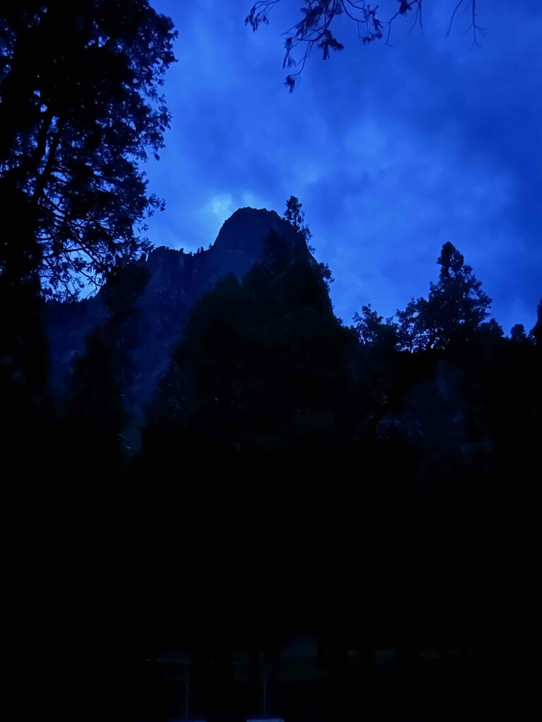
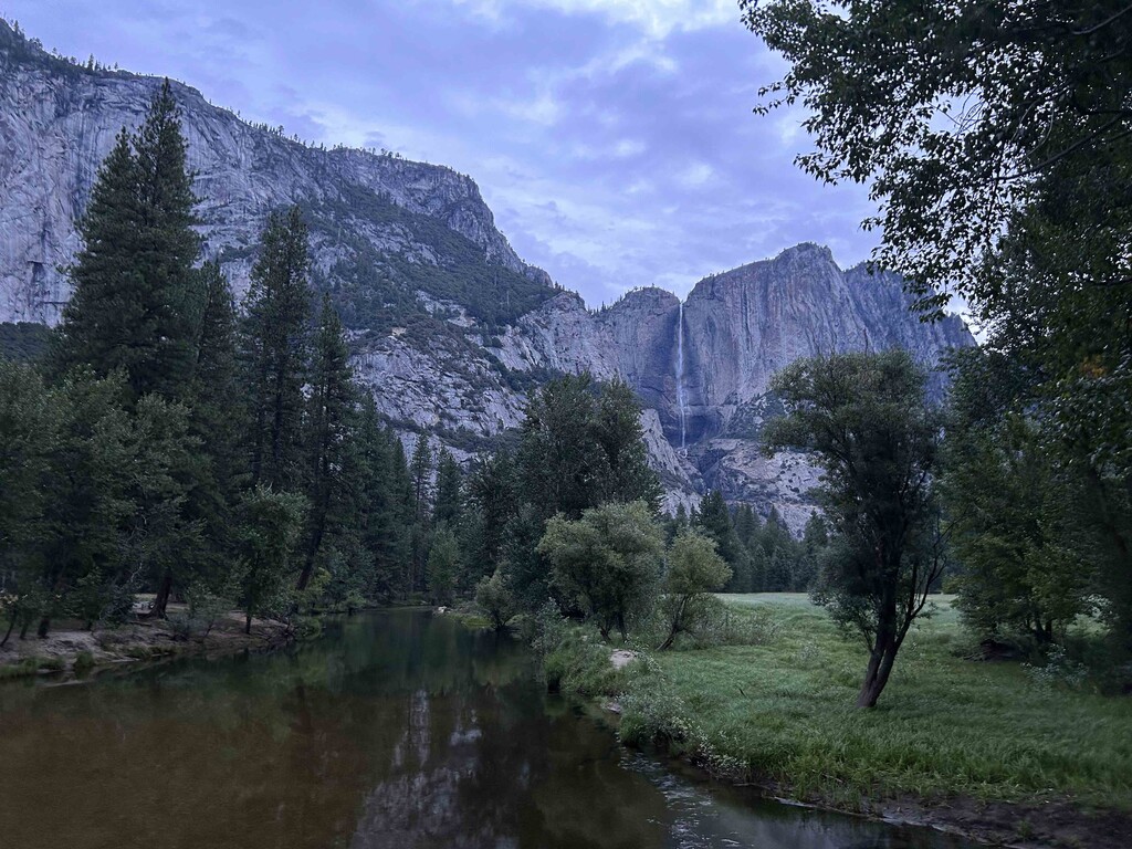
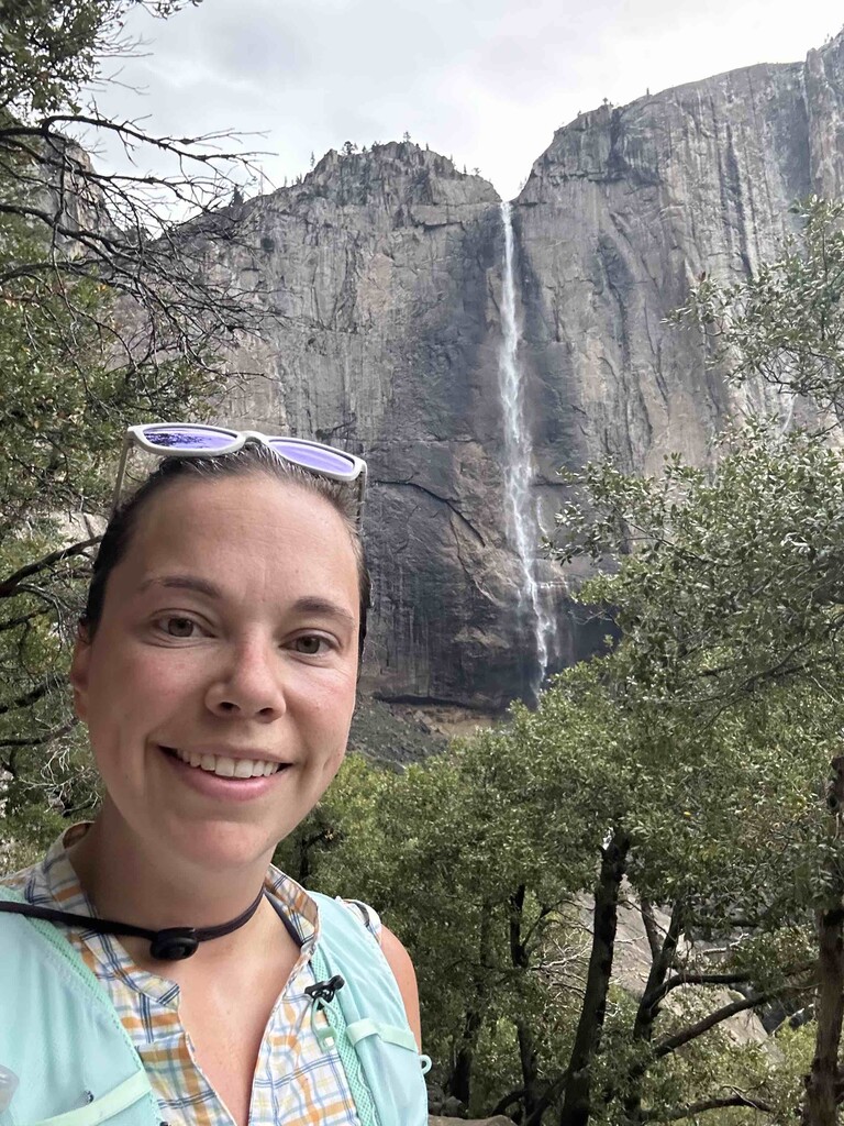
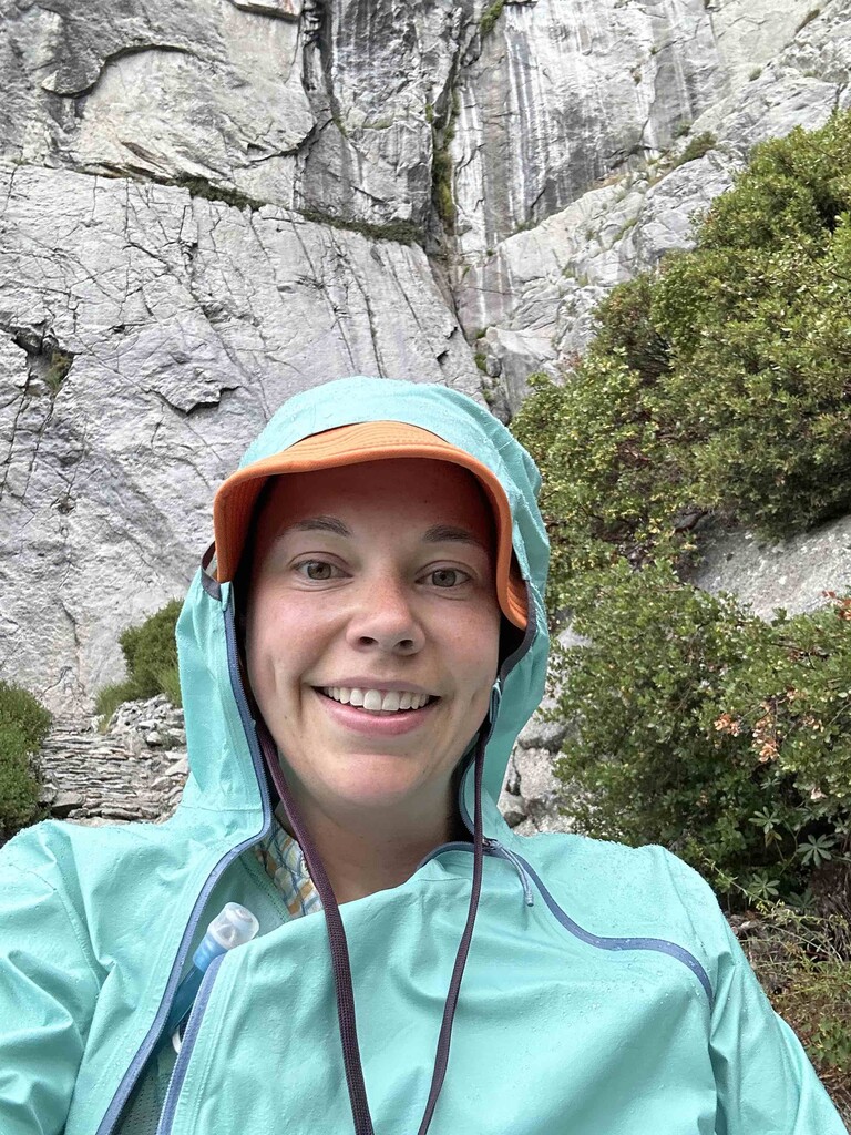
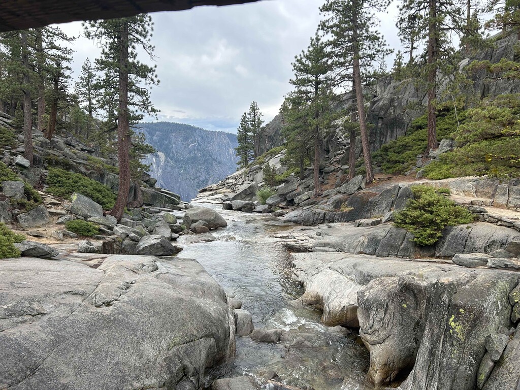
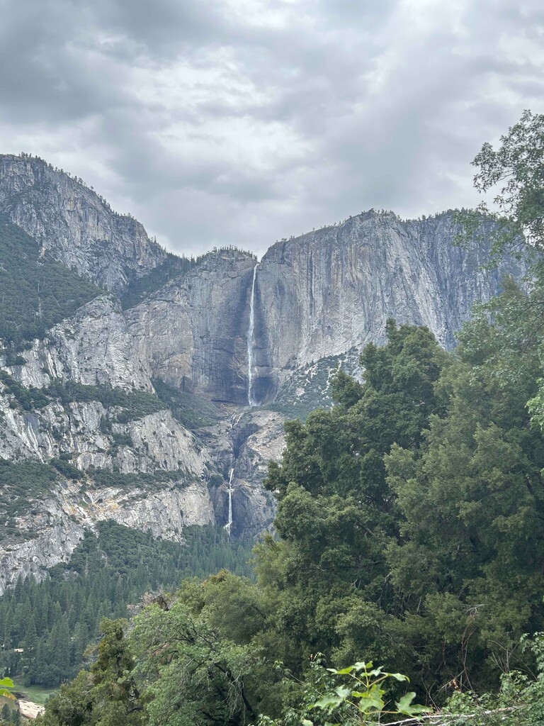
I got started about 6:15am after filtering some water and got going off the bridge. Weather was overcast, but rain was holding off for the time being. I got completely swarmed by mosquitos, but a coyote made up for the wildlife watching as I passed through the entry forest before heading up up up the Yosemite Point trail. Due to the earlier rain, the rocks were a bit slick, but the tradeoff was that the trail was quiet and I only saw a handful of people as I made my way though the first climb. Short lateral and then you're back to switchbacks all the way up the canyon. Unfortunately at this point the rain started again and I had to bundle up although it did reduce the mosquito numbers a bit which was a nice break. It looks like at this point my GPS started bouncing a bit on the canyon walls, but picked back up as I topped out near the overlook bridge. Stopped for some pictures at the bridge before continuing on and working my way up to the official Yosemite point and took a few photos. A quick stop to dump rocks from the shoes and then headed downhill back to the river! A small black bear kept things entertaining and I was glad I went the route of Yosemite point first as the trail was getting significantly busier as the rain had also stopped. Unfortunately the slick rocks kept things more moderated and a bit tricky to finagle with folks coming uphill.
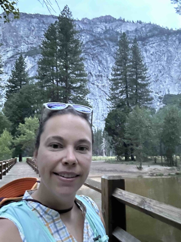
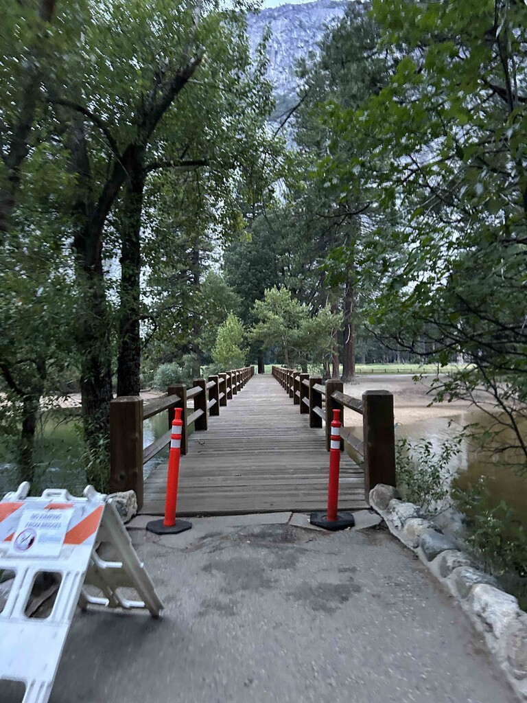
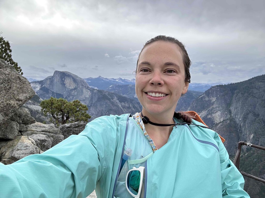
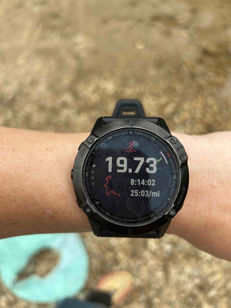
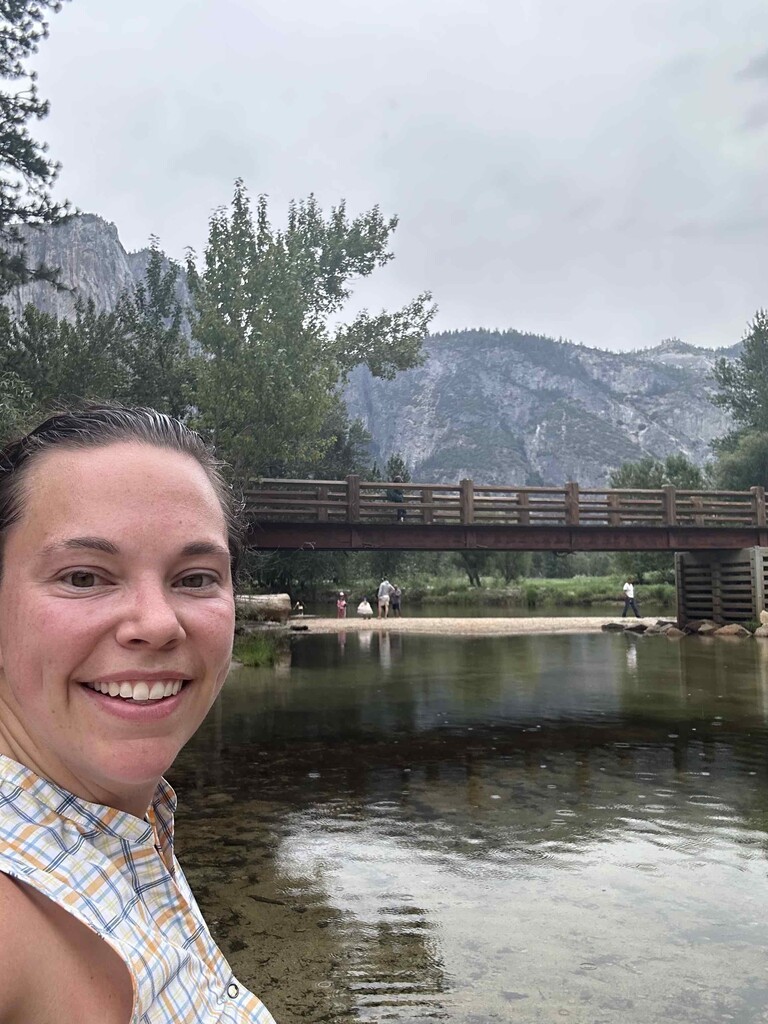
As I got to the river I took a short detour to filter more water and then headed over and to the trailhead for Glacier point. Another mosquito swarm through the valley trail and then back on the uphill. The Glacier point trail (4 mile trail) was significantly more runnable as it's semi-paved or packed rock in comparison to Yosemite Point trail. This was an outlier effort for me so unfortunately I didn't have the pep in my step and stuck to a power hike on the way up. Definitely a less populated route (since you can drive to Glacier point), but well worth it and arguably better views of the valley (granted without a waterfall like the other side). Topped out the trail and then did the detour to the proper lookout (how could you not!) before rounding back and heading down back to the river. A dunk in the river to cool off the legs and called it a great day!
Definitely an awesome trail and one I've been wanting to do for a few months. I'd highly recommend to anyone to wants a proper panorama feel of the valley!