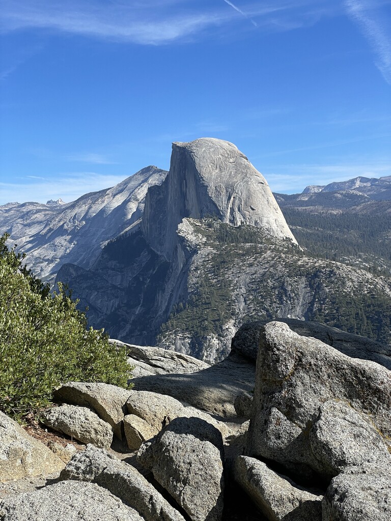
Location
California,
US
Distance
19 mi
Vertical Gain
6,870 ft
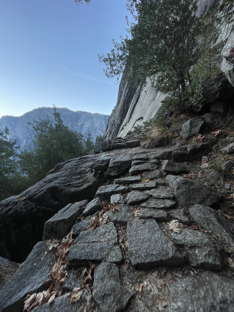
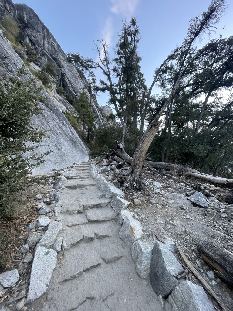
Description
GPS Track
YNP_R2R (1).gpx69.25 KB
FKTs
Male
Female
| Wilder Boyden | 4h 46m 54s |
| Ralf Elsaesser | 4h 55m 49s | ||||
| Wyatt Barrett | 5h 3m 14s | ||||
| Josh Grant | 5h 52m 39s |
| Sara Aranda | 4h 49m 41s | ||||
| Marcy Beard | 7h 2m 11s |
| Carling Ursem | 5h 14m 24s | ||||
| Marisa Kiefer | 8h 14m 2s |
Male
Female
| Jeff Merrick | 5h 21m 20s |
| Stephanie Schwartz | 6h 14m 26s | ||||
| Marcy Beard | 6h 48m 30s |
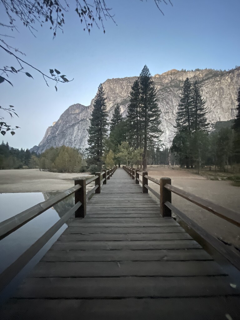
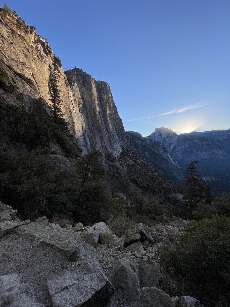
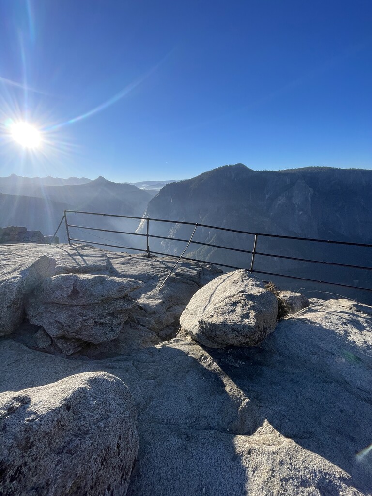
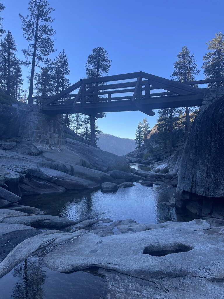
Images
Comments
Planning to try the river2river2river version this Wednesday - should be amazing views, whatever else happens :)
Awesome route! Working on submission, finished in 7:02 (self-supported)
Uh, that's Yosemite Pt, not Sierra Pt.