Athletes
Route
Route variation
Standard route
Multi-sport
No
Gender category
Male
Style
Unsupported
Start date
Finish date
Total time
3h
37m
28s
Verification
GPS track(s)
Report
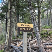
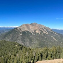
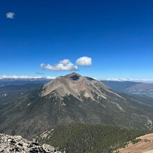
This route starts/ends at the Wahatoya Trail map and register board at the top of the 4X4 road. It was a beautiful day, lots of runnable terrain from the start to the base of the summit block. Than a steep climb up lots of loose talus. Views of West Spanish Peak are truly incredible, as well as the Blanca 14er group, and the eastern plains. I ran solo, carried water and snacks in a vest and hip belt, and only saw 1 group of hikers near the end of the run. Amazing!


