Location
Colorado,
US
Distance
9.18 mi
Vertical Gain
3,202 ft
Description
GPS Track
East_Spanish_Peak_0.gpx3.9 MB
FKTs
Male
Mixed-gender team
| Sean Rimmer | 2h 34m 18s | ||||
| Evan Reimondo | 2h 58m 0s | ||||
| Matt Melde | 3h 37m 28s |
| Erin Ton, Chris Fisher | 3h 4m 41s |
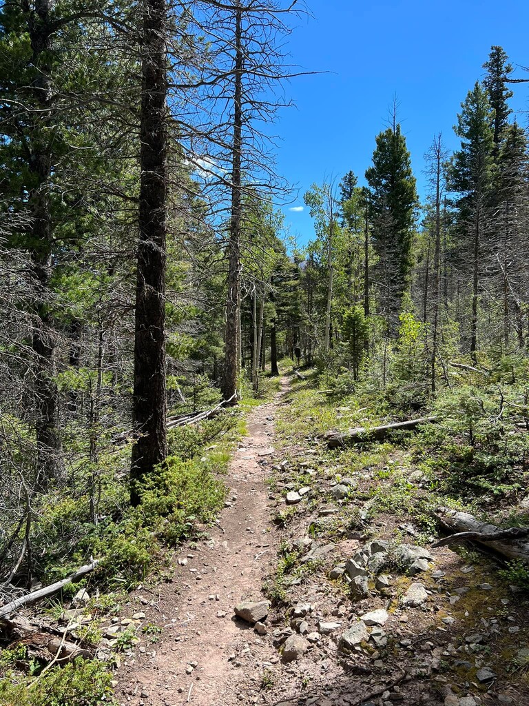
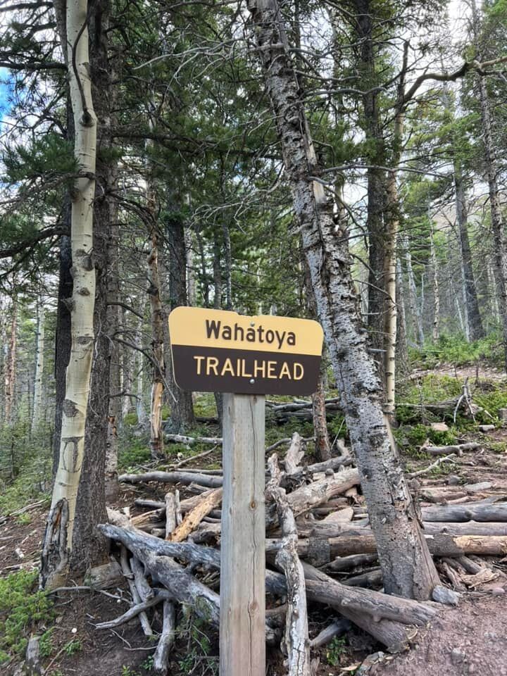
Images
Comments
Heads up, as of July 22, 2023, the approach road to the trailhead is extremely damaged. Huge, washed-out ruts on the one lane dirt road. You definitely need a high clearance truck or jeep to safely ascend the initial climb from the main dirt road (County Road 360).