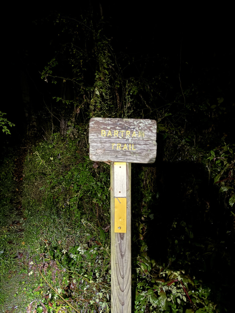
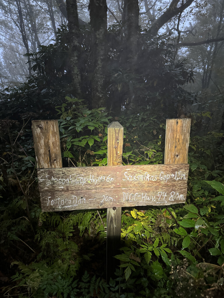
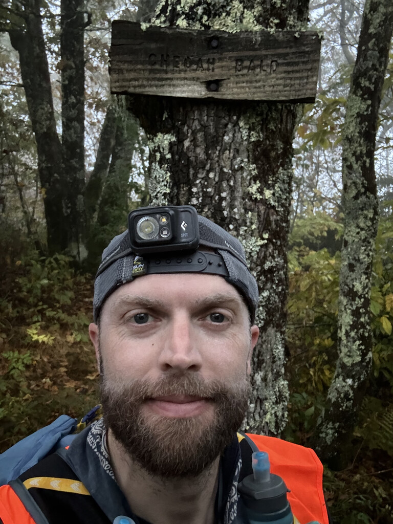
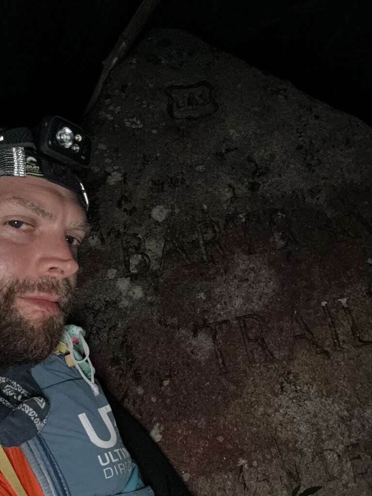
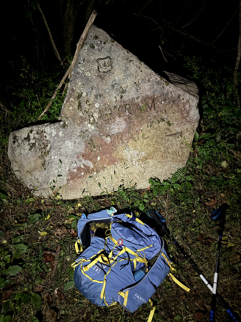
Thanks to Wes Varda for the assist to the start. We dropped my truck off at Russell Bridge the night before, then drove to Andrews, NC where we stayed for the night. We woke up at 4am and drove to where the Bartram crosses US19 and at 5:20am started hiking the 6 miles on the Bartram north bound to Cheoah Bald. Wes turned around about halfway up. If I were to do it again I might investigate how to get up that FS road about a mile from the summit, because even taking it easy, the climb took a bit out of me. I got to Cheoah at 7:40am, where I spent some time getting situated, then started the route at 8:05am turning back the way I came. I did not see a marker for where the Bartram joins splits with the AT and I would have missed it had I not just come up that way.
My A goal was to just finish as no unsupported had been posted, with A+ goal to go sub 32hr for overall FKT. Although I did a bunch of weight vest training in preparation for this, early on it was apparent I was moving slower than A+ pace at a high but sustainable intensity. I continued to try to push it, but as the ascent began to accumulate I was feeling cooked on the climbs as early as going up Wayah Bald. The pack weight was big factor and I never really felt strong climbing after mile 20 or so. Severe knee pain came and went, making down hill running very slow and careful starting around mile 80.
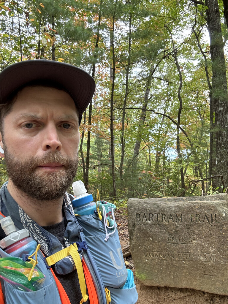
I opted to stick with the posted FKT GPX route, so I did not take the new alternate/optional route further into Franklin onto the Little Tennessee River Greenway, and I did not take the new Bartram connection directly off Hickory Knoll Rd, but stayed with the Buckeye Creek Trail connection.
I took (1) dirt nap around 20 hours in, as I was having a hard time staying awake. It was very very windy around the peaks between mi 60-70 and I was concerned about treefall. I started hallucinating early around 24 hrs. I was counting miles starting mile 70 with made for a dreadfully long and unpleasant last 40 miles.
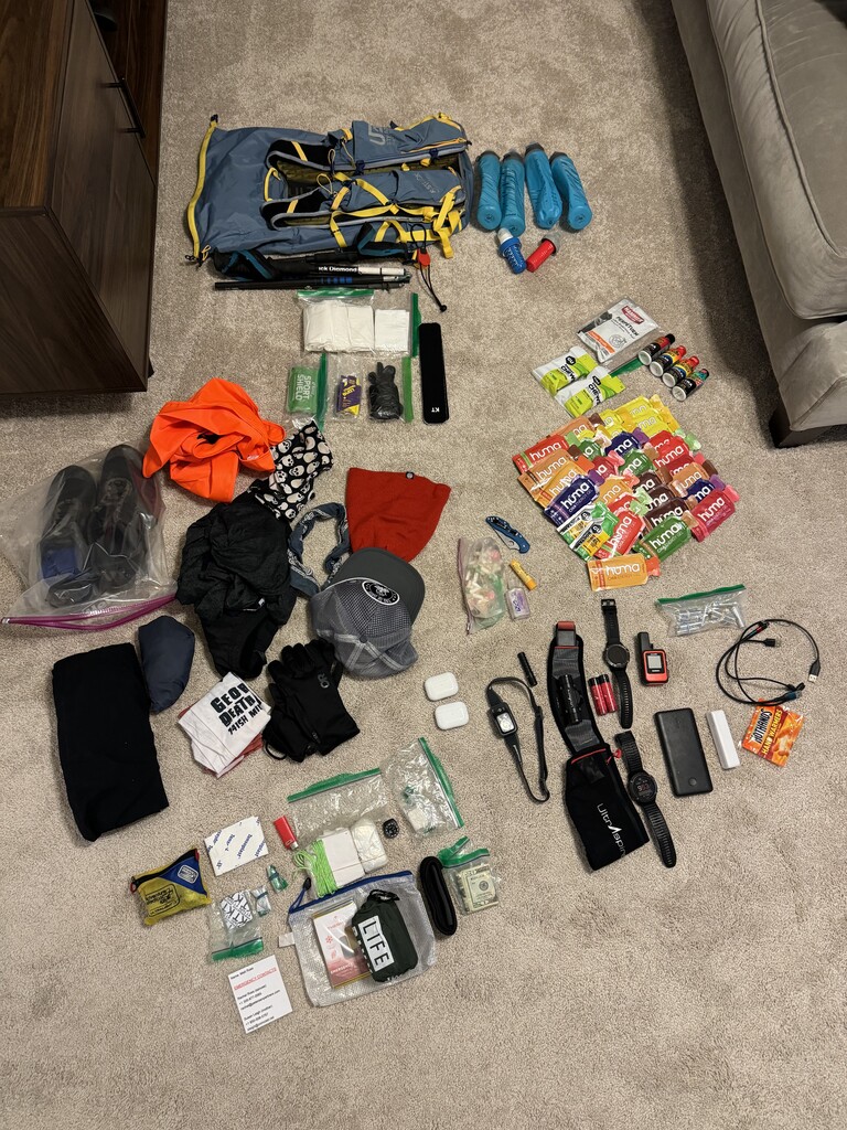
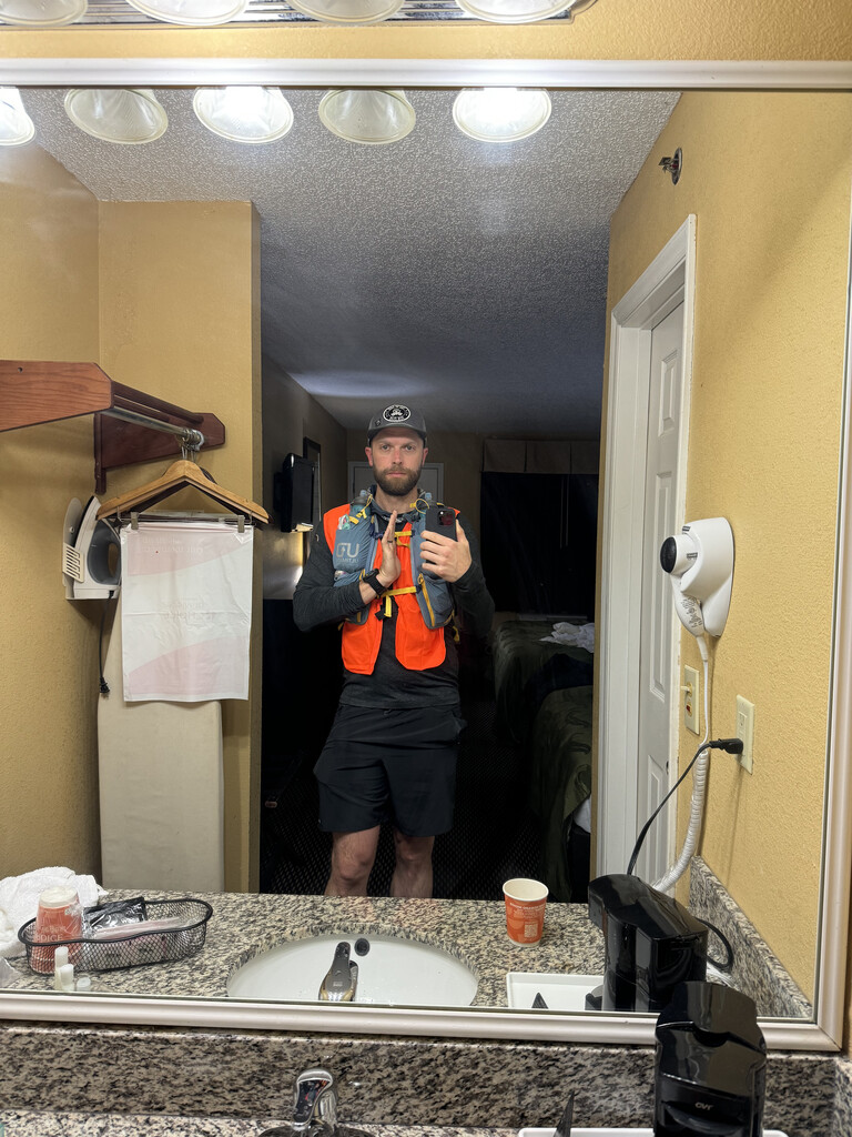
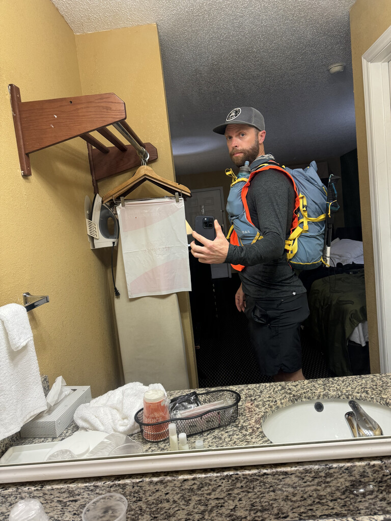
I used a UD fastpack 30. With my (4) 0.5 liter soft flasks full, the pack/shorts pockets weight was ~18 lb with safety gear, etc. I brought 4400 calories of gels/blocks/snickers which in retrospect was on the light side. If I could do it over I would have added a few more lbs of nutrition.
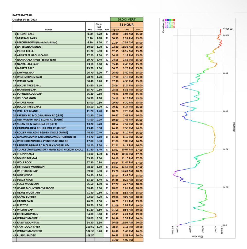
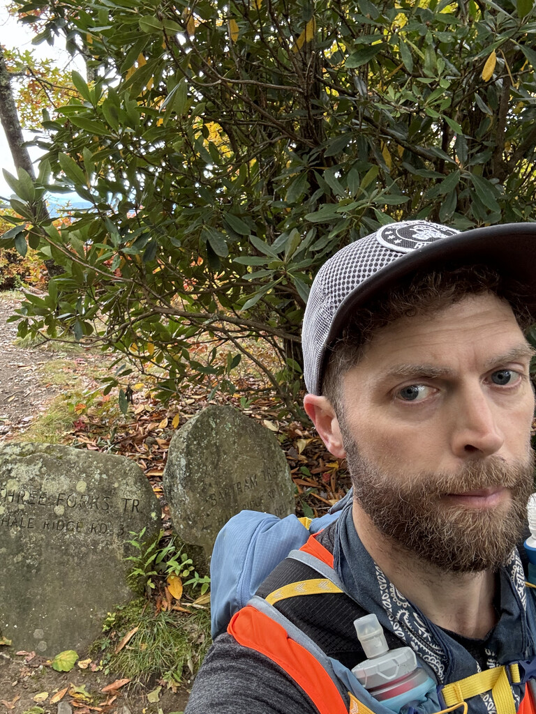
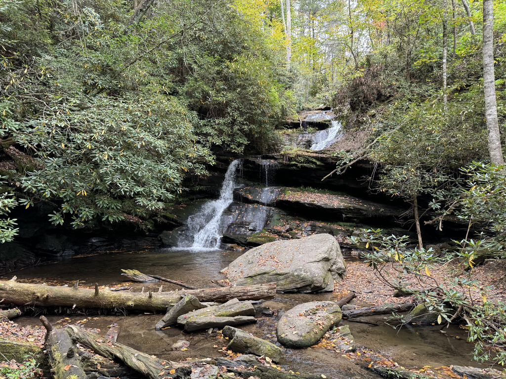
I filtered water from trail crossing streams using flask top filters. Bartram trail guides/maps were very helpful in mapping mileage checkpoints and potential water locations. Other than the road section I don't think I went more than 7-8 miles without crossing water, although a lot of the streams were very light and took a long time to fill -- I had 5.5 hours of non moving time and I would guess 4 of those hours were collecting water, with the rest of the time dicking around with chargers, messaging wife, napping, a few "breaks" to stave off bonking. The GPX posted to Gaia was critical as the trail was lightly marked in a lot of locations with a lot of side trails, and the almost completed umarked road section. I ran a Garmin Fenix 6x for my main watch, with Garmin Fenix 5 for backup and Garmin Inreach for messaging/tracking.
The road section was not great, basically running a long a mountain highway with no shoulder for much of the time. The only foregiving part was I did it in the middle of the night so traffic was minimal. Sounds like there may be a push to eliminate some or all of road section soon. I'm interested to see what the overall Bartram looks like if this happens.
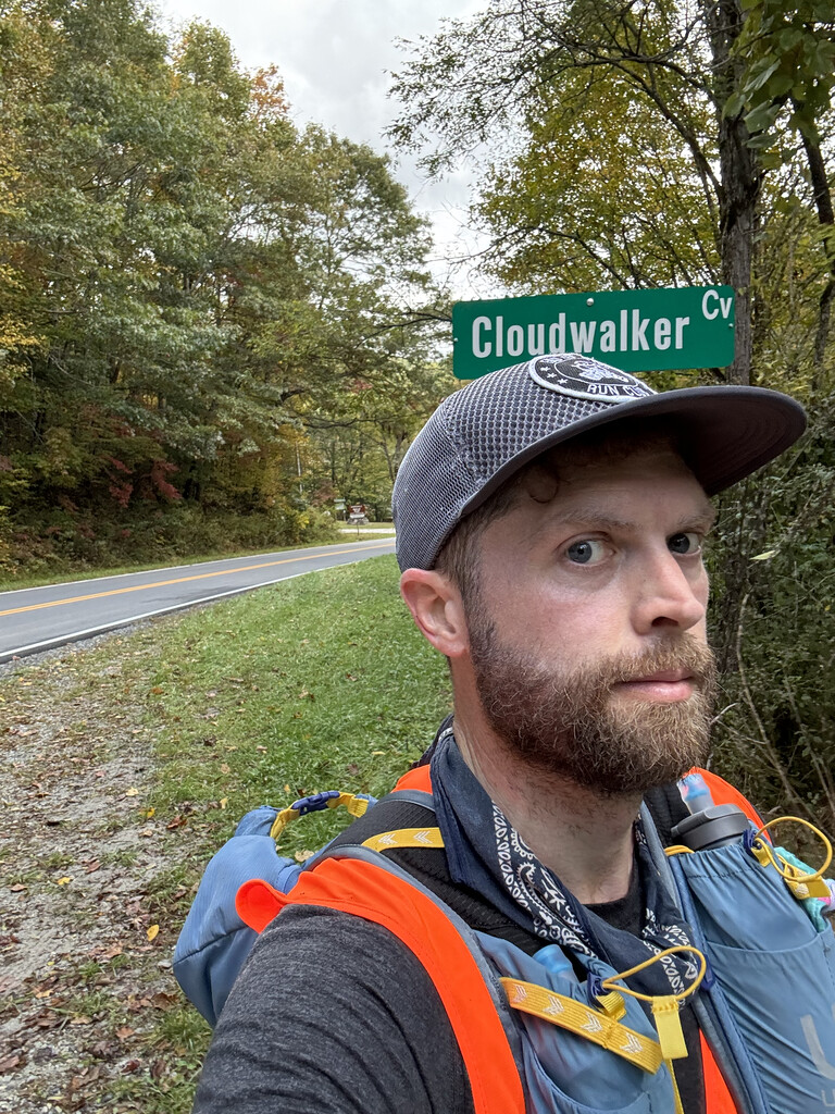
I ran with a high vis vest considering hunting season, but only heard gunfire a few times.
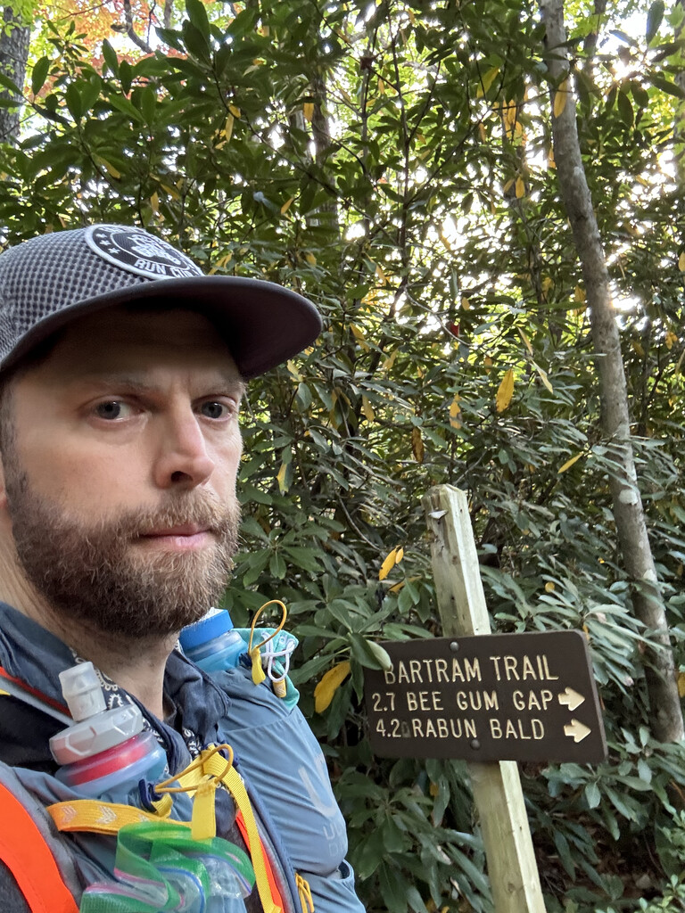
I did not have any good current trail condition data so going in I was concerned about blowdowns and overgrown trail but I really only encountered maybe 20-25 significant blowdowns on the whole route with the majority in the first 20 miles. Thank you to the trailwork volunteers, some of which were on the trail working around Appletree. On the NC section I passed only a handful of hikers, on sections that were not shared with the AT. There were many hikers on the shared AT sections. There were maybe 20 hikers on the Georgia section starting with Rabun Bald and continuing through to Warwoman.
Kudos to Matt Kirk for the 32 hour supported finish. I'll admit I may have let off the gas a bit once the A+ goal slipped away but I'm having trouble seeing where I could have shaved off 5 hours as I never stopped "running" the flats and downs. I went all out and ran as fast as I could the last 2 miles and was only hitting 15 min miles. I got to the southern trail head, cleaned up, took a 2 hour nap, hit waffle house and drove home.
My overall impression was this route was very difficult, much more so than the GA section of the AT I previously completed unsupported in 2021. I think this was due to a combination of technical and less worn trails, a lot of climbing (28k including the approach), less route specific training, but mostly just running with the extra weight. I'm grateful to have had the opportunity to complete the route. Thanks to my very pregnant wife Rachel for tolerating the effort.