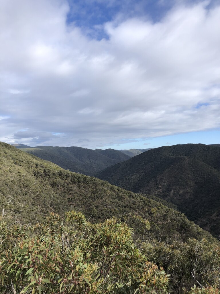

The Wild Wombat Loop has got to be my favourite loop to do in the Lerderderg State Park. Under 20k, but a little bit of everything in terms of terrain, it's a great option when you don't want to spend a whole day in what is a pretty gnarly part of the world. I had done the loop a number of times, but decided this time I'd have a crack and see if I could put a good time on the board. My goal heading into it was sub 2 hours, but would have to see how the day unfolded.
The route starts off on the flat trail running alongside the Lerderderg River, and I eased into it, not wanting to push too hard too early. I put a bit of effort into the first climb up Link 1, nothing too crazy but moving with purpose up the steep rocky track. Once at the top I got the leg turnover going for the short section up to the Link 2 descent. My focus here was trying to get down as quickly as possible while staying upright, as the trail is quite technical in parts.
I got to the river and crossed without any hassle, the water level tends to be quite low in summer. The next small section was flat but slow going, as I followed along the river until I got to the next climb, Spur Track. I kept a steady effort up this climb again, pushing hard but not overdoing it, as there was still a long way to go. Once on the top, the track opens up on to a gravel road that leads down to the weir. This was a chance to really open up and hit the gas, I knew if I wanted to get that sub 2, this is where I could make up some time. I pushed as hard as the terrain allowed, careful not to take a slide on the loose gravel.
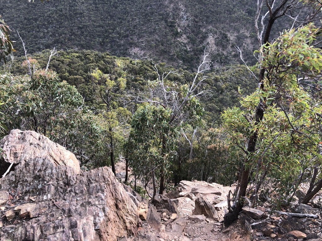
I passed the weird and crossed over the river once more, managing to keep my feet dry. The climb up Long Point Track is probably the most technical of the three, and requires both hands in a couple of spots to help move up efficiently. After the first little section you get a cool view of the ridgeline you will traverse (see picture). My legs were started to feel the accumulation of the climbs now, but I pushed on knowing that once I got to the top, it was basically all downhill. Kind of...
Once I was back on the Blackwood Range Track, I opened up the stride again, trying to get back to Link 1 as quickly as possible. The elevation profile shows the net downhill of this section, but the undulations are surprisingly taxing, especially on cooked legs. I made it back to the final descent trying to do some quick maths in my head, and not sure I would reach my sub 2 goal. I threw myself down perhaps a little recklessly, as a hiker commented "careful it gets really steep down there!". I gave him a wave of acknowledgement and kept booting down. Once back down at the river I darted across not worrying about dry feet anymore, and headed back down the trail to the car park. I felt I could breath easy now as long as I kept ticking along. I made it back to the carpark with a few minutes to spare, exhausted but so stoked! Cooled of with a dip in the river, and a big smile on my face.