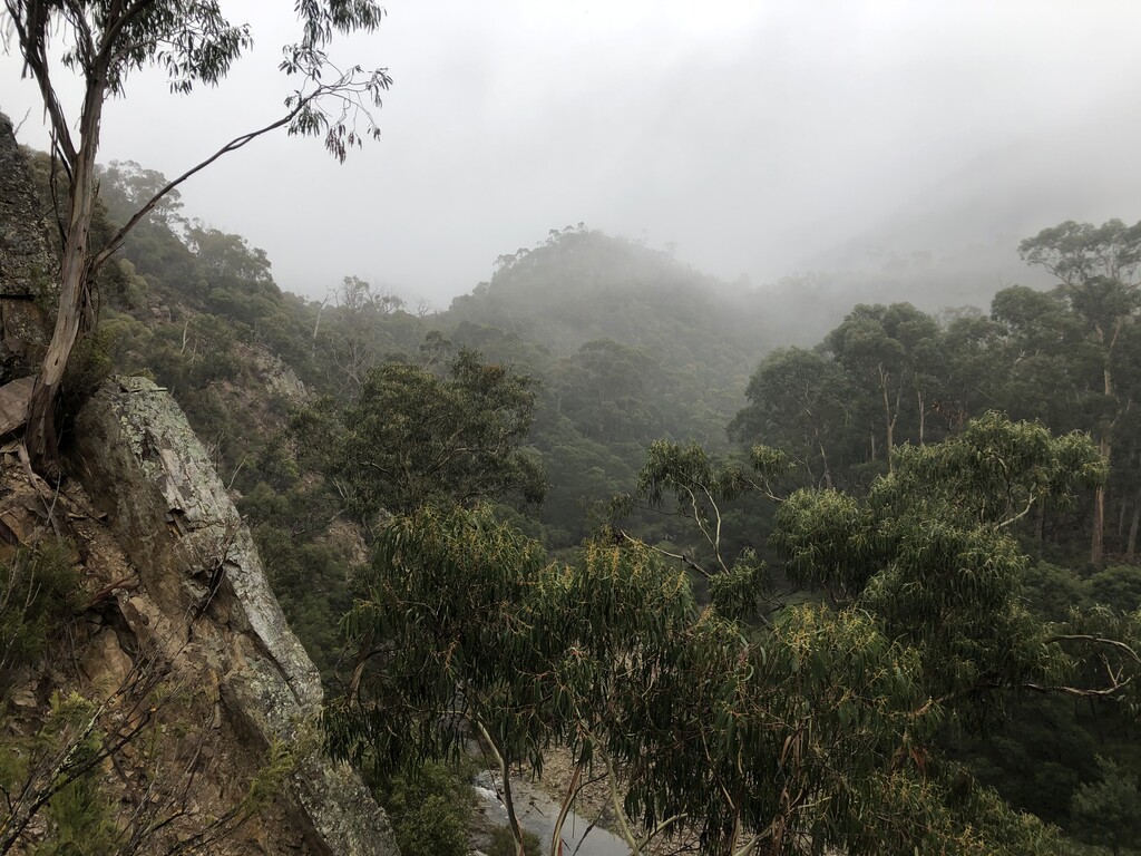
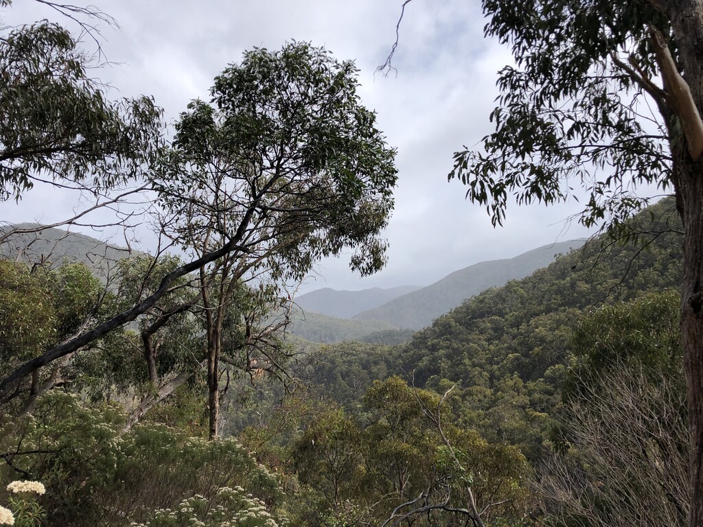
The Wild Wombat Loop is a 19k circuit that meanders up and down the Lergerderg Gorge in the Lerderderg State Park, Victoria. With some steep climbing and descending it takes in over 1000m of vert in less than 20km. The terrain consists of rocky single track, 4WD and fire roads, as well as some minor scrambling and a couple of river crossings. Due to the steep nature of the gorge it is not recommended to try the route after heavy rain as water levels can rise rapidly.
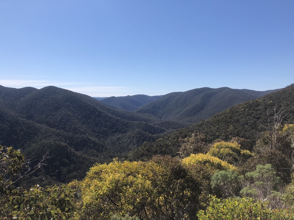
Starting and finishing in the Mackenzies Flat Picnic Area car park at the southern end of the park, follow along the banks of the Lerderderg River until you reach Grahams Dam. Cross the river here (easy to keep the feet dry when the river is low), and head up Link track no.1. This climbs steeply out of the gorge to Blackwood Ranges Track, with good views up the gorge along the way. Head north for about 500m until you see the turnoff for Link Track no. 2, which heads back down to the river. Cross the river again and follow south along the eastern bank. The trail can be hard to locate here but once you're on it you will know. Continue for a little under a kilometre until you reach the signed Spur Track on you left. This is another steep rocky climb that will take you all the way up to the Lerderderg Tunnel Access Track. Turn left and head downhill. Here you have nearly 3k of downhill gravel road to put the burners on. At the bottom the is a large dam wall, that can be passed using a metal staircase on the left hand side. Once past the dam, cross the river once more and head up Long Point Track. This is very steep to begin with and may require both hands to get up safely. The track traverses an undulating ridgeline all the way up to Blackwood Ranges Track. Turn left and head south along BRT for 5km of undulating but net down hill track until you reach the turnoff for Link Tack no.1. A steep decent back down to Grahams Dam then retracing your steps along the river back to the carpark.