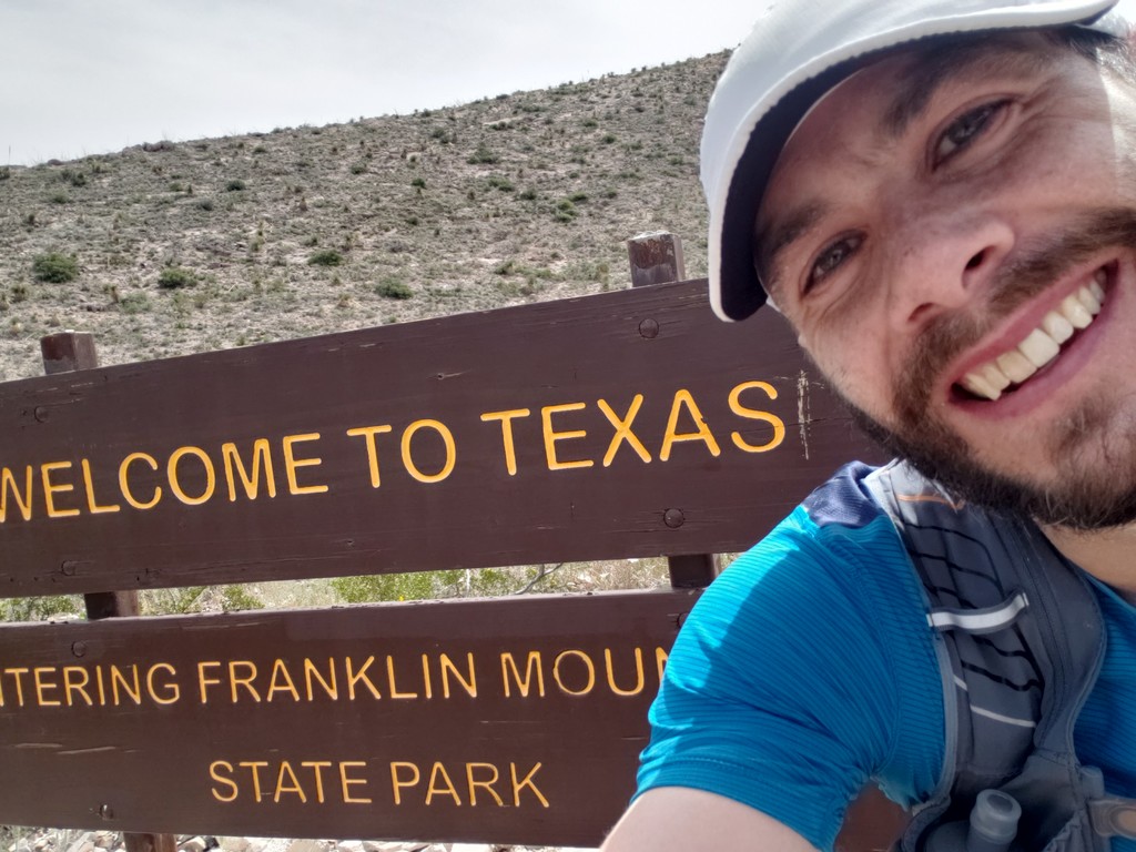
On the satellite view map, it appears as though I ended before getting all the way to the Texas border, but I ended at the "Welcome to Texas" sign (see pictures).
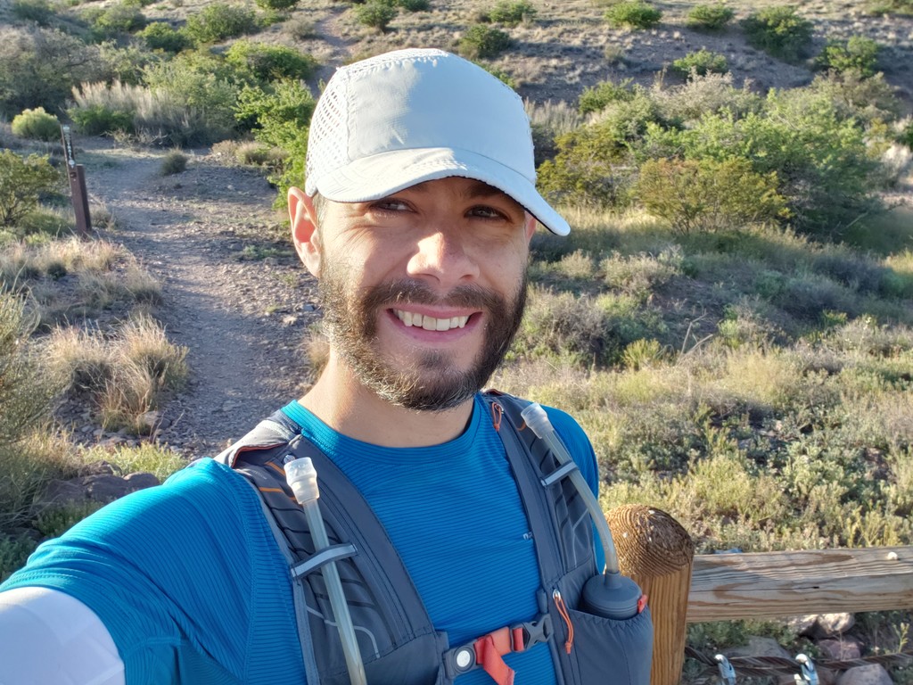
I was supposed to run Zion 100k tomorrow but it was cancelled for coronavirus so I decided to establish the first FKT for the Sierra Vista Trail near Las Cruces, NM. I did so running south from Sierra Norte Trailhead off of Dripping Springs Rd to the Texas/Franklin Mountains border south of Hwy 404. in just under 4:25 and was completely unsupported. I carried everything I needed from beginning to end in my vest including 4x18 oz bottles of water (72 fl oz total) and 1010 calories of nutrition. I ended up starting almost an hour after I planned and although the temperatures were perfect when I started (55F), the heat was getting to me on the second half (81F when I ended). I did get a bit dehydrated and could have used more water and salt to deal with the heat at the end.
I've run most sections between Sierra Norte TH and Vado TH several times before. This section of trail is single track and was generally in good condition. Anyone who has been on trails in the area knows that they are very rocky compared to trails in other parts of the country but the SVT doesn't really have any sections with extreme grades. I was not nearly as familiar with the sections between Vado and Anthony Gap having only been on a few sections of that part once at the most. Many of the miles on the road under the power lines (mile ~16.5-21) were in very loose sand, basically like running on the beach--slow and energy zapping. The single track section from ~22-23.5 was pretty overgrown though not overly difficult to follow. Most of the remainder of the trail after mile ~23.5 was on a dirt road with a couple short exceptions.
Overall, the trail is well marked and easy to follow. I will note, however, that I followed the trail signs and markers as they are now (Spring 2020), which deviates a bit from the official maps posted at the trailheads and on the BLM website. I'm not sure if the trail has been rerouted or if the maps were drawn incorrectly, but my GPS track follows the trail markers, not necessarily the map (as the maps shows the trail in places where there is no trail--particularly between Vado TH and Webb Gapp).
Overall, my Garmin Fenix 6 showed 28.41 miles with 1692 feet of gain and 1912 feet of loss at an average elevation of 4411 feet.