The Georgia 4000 Footers is one of the few US peakbagging objectives that make sense in winter/early spring. So, on Friday, March 29 after work I flew down to Atlanta to meet up with Brandon. My flight ended up getting in around midnight so we went to a hotel for a few hours before a late start the next morning.
Day 1: We woke up and drove to the small community of Sky Valley. Our basic plan was to work West to East, which would mean a lot of driving on the first day. We started from the trailhead at 9:14 am with Rabun, Flat Top and Flint, then did the road walk up Alex. The road to Grassy Ridge and Dick’s Knob was pretty slow in the Camry we were driving. We finished with Double Spring in the dark, not able to drive all the way up the road to the gate. We then drove to the KOA in Hiawassee, which would be our base for the next couple nights.
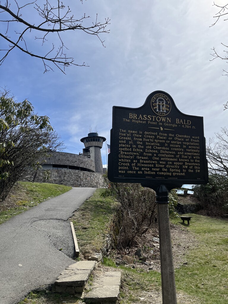
Day 2: Unfortunately, when we made it the KOA there was a note on our late check in paper saying that we were required to check in again in the morning after 9:00 am. This set us back a few hours and we knew it would be a late night. We decided to start the day with the five peaks around Brasstown Bald, starting from Jacks Gap. We had planned on filling up at the water fountains by the parking lot near the summit but they were turned off. We were able to filter water from a stream near Double Knob S but still got dehydrated. Double Knob S was probably the hardest peak of the 32. It’s a long steep bushwhack from any direction. The map on the Georgia 4000 Challenge website shows the correct location, but the “Double Knob” register is actually on Double Knob N. We made sure to go to the S peak as well. We started Rocky, Brier Creek, and Trey just before 7:00 pm, making it back to our campsite just before midnight.
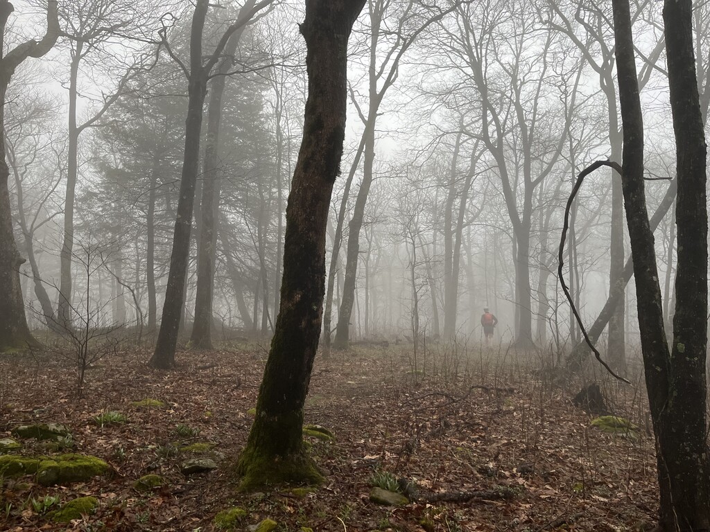
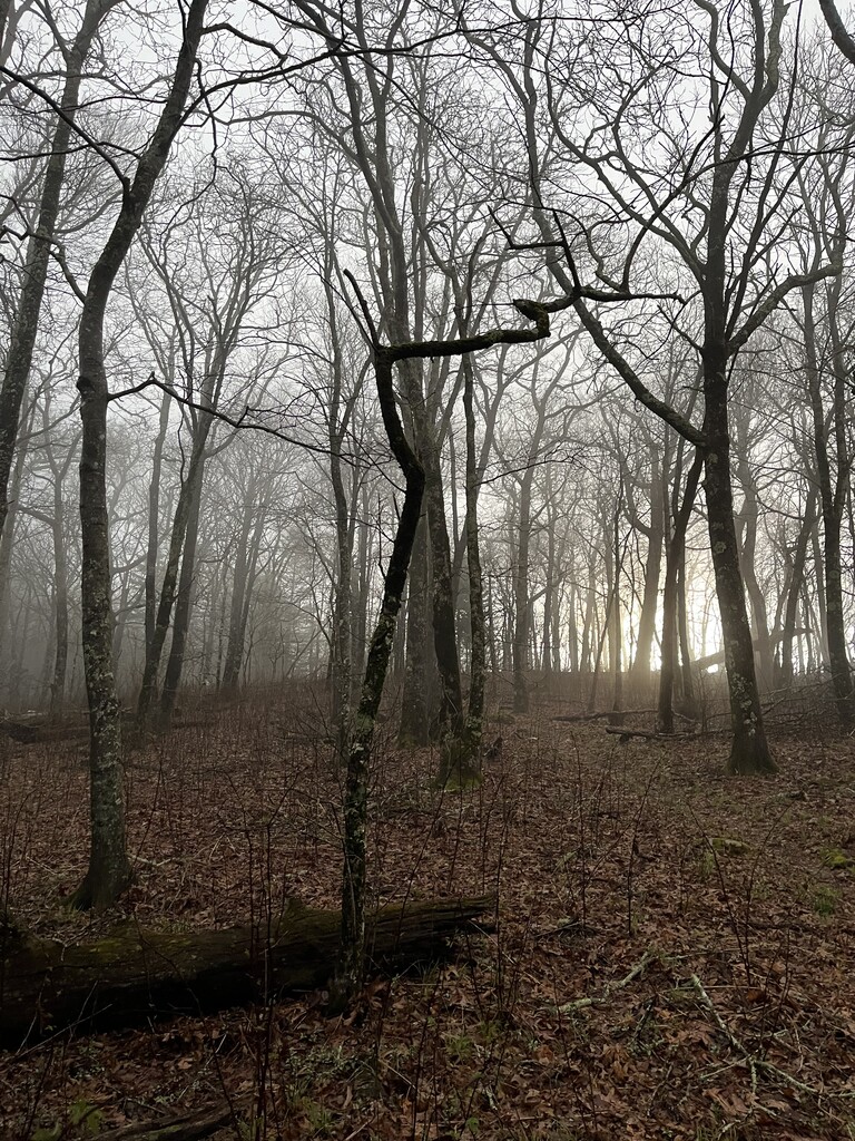
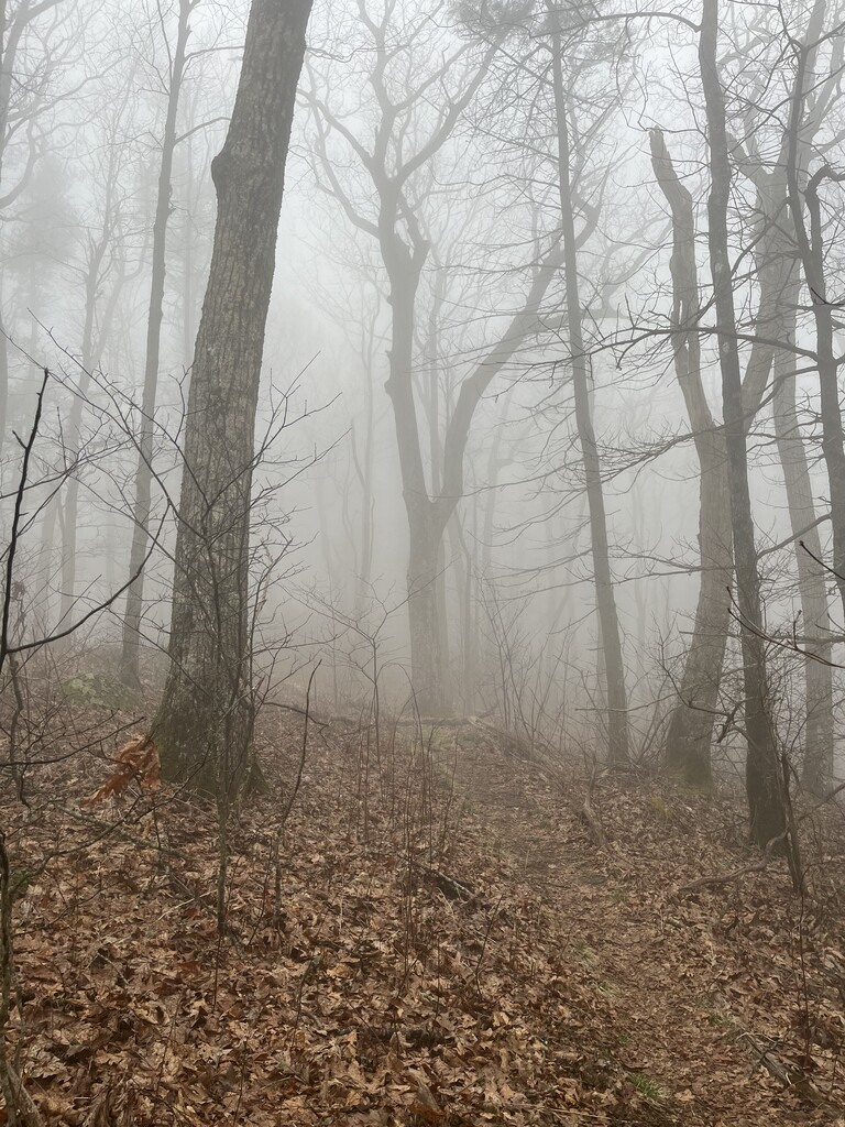
Day 3: High Cove Ridge (although this name doesn’t even appear on most maps) would be the most challenging and rewarding leg of the trip. It’s a point-to-point, beautiful ridgeline bushwhack in the southern Nantahala Wilderness. Several times in the previous few weeks I had checked with Uber to make sure we could get a shuttle between trailheads and avoid a 13 mile road section. Every time I checked there was one available. Trusting that this would work turned out to be a mistake. We waited for it to show up for over an hour, trying Lyft as well. Finally we started jogging toward the other trailhead.
Eventually a very nice woman named Sherry gave us a ride on her way into town and then again on the highway in between errands, saving us at least a couple hours. She said she used to be a runner and was getting back into it again. She thought what we were doing was super cool and had lots of questions. Hopefully we helped provide a small amount of motivation for her to explore the beautiful trails in her backyard. Thanks Sherry! We finished up the day with Blue, Spaniards, and a difficult night bushwhack up to Horsetrough, getting back to the trailhead after midnight.
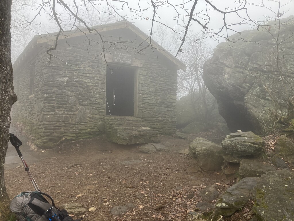
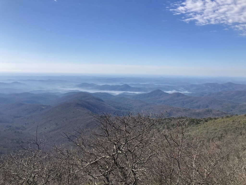
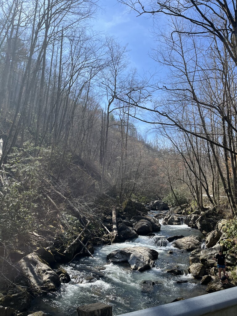
Day 4: By this point our sub 72 hour goal was out of reach, but we were pretty sure we could do 3 ½ days. We started with Slaughter, Blood and Coosa before heading over to the Rich Mountain Wilderness. We had been watching a storm developing the past few days that ended up producing a tornado and grapefruit sized hail to the west of us. We were able to drive a couple miles up the steep Rich Mountain road, through a stream, pushing the Camry to its limits. We still had time to easily finish and the storm looked like it might be weakening a little, but we both agreed it was too risky and we decided to get a hotel room in Blue Ridge in case a tornado did develop. We got quite a bit of sleep and woke up the next day in time to drive to the Cohuttas and easily finish the last two peaks before the four day mark. On the way back to Atlanta we stopped at a beautiful waterfall and I brushed my had against a column at the visitor center, causing the worst bleeding of the entire trip;-)
Altogether we covered 119 miles with 33,000 feet of elevation gain. Our goal was under three days, which should still be easily doable now that we know the area better, and with better conditions. The only peaks either of us had been on before were Brasstown Bald and Coosa Bald. We didn’t push super hard and got more than enough sleep each night. Charles Raffensperger had tried to thru hike all of these peaks back in 2015 and made it a little more than halfway. We aren’t aware of any other successful speed attempts.
A person could certainly cut some mileage with a high clearance, 4wd vehicle. There are 4wd roads that go all the way to the col on Dick’s Knob, most of the way up Coosa Bald, and most of the way to Brier Creek Bald and Tray Mountain. While using these roads is fine according to the Georgia 4000 Challenge rules, it makes these peaks a little too easy in our opinion. Perhaps, as this route becomes more popular, 2wd accessible starting locations will become the norm, at least for speed attempts. Also, while the Challenge rules only explicitly say that you must ascend from the base of the mountain (for Brasstown Bald, Wolfpen Ridge South and Chimneytop Mt.), we wouldn’t have felt good about catching a ride down from the parking lot near the summit of Brasstown Bald either.
Comments
Matthew - I'm considering an attempt on your FKT for the Georgia 4000s and I've got some questions - one about your posted time and one about your "route rules". I posted the FKT for the Georgia Beyond 4000 this past April so I am familiar with the peaks. You guys made some route choices that I'd like to know about. Email? I'm darrelldskogman at gmail.