Athletes
Route
Route variation
ascent
Multi-sport
No
Gender category
Male
Style
Unsupported
Start date
Finish date
Total time
41m
11s
GPS track(s)
61d203ba02346d76f9e0e802.fit120.09 KB
Report
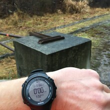
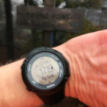
I've been using this trailhead for years as a way to get to Castle Point and Lake Awosting and it was still beautiful despite not being able to see very far with the fog. Started at 1:32 pm, up to the sign by 2:13 pm. I took one of the more technical routes going up this time, took a quick blurry pic at the sign in the rain/mist, then ran back down. I didn't take any water. I saw a few people out despite the chilly weather.


