Athletes
Route variation
Standard route
Multi-sport
No
Gender category
Mixed-gender team
Style
Supported
Start date
Finish date
Total time
14h
39m
14s
Verification
GPS track(s)
DC to Harpers Ferry 105k.gpx144.24 KB
Report
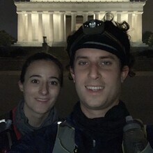
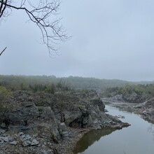
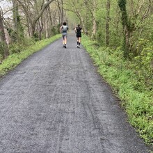
This was indeed a challenge, but we loved how uninterrupted the course was (60+ miles on the C&O Canal Towpath). It was tough, less due to terrain and elevation, which is easy and flat, and more due to sheer distance, humidity on race day, and self-organized nature of the race. The course is amazing though, traversing so many historical sites and natural areas. We had run many parts of this trail before, but never all at once - so this entire distance across three territories was on our bucket list! The distance was also PRs for both of us.
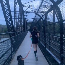
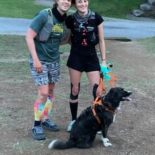
Shout out to our dog Pippin (Instagram: @pippin.meets.world) who ran with us for the final 13 miles!
We arranged for support at 4 aid stations thanks to our generous friends and family:
- Great Falls, MD (mile 18)
- Riley's Lock, MD (mile 27)
- White's Ferry, MD (mile 40)
- Point of Rocks, MD (mile 52)
Other Notes:
- While we were along the Potomac River the entire run, we did not source our water from there and instead carried that ourselves (or resupplied at our aid stations).
- The canal towpath is pedestrian, bike, and dog-friendly.
- There are portable toilets every 5-10 miles, plus full facilities at Great Falls Visitor Center in Maryland.
- Since this was a point to point run, we parked our car at the Harpers Ferry MARC train station (and took the train back into Washington, DC) a day in advance.
- There's a 0.75 mile detour at Great Falls overlook for the gorgeous waterfalls - it will take your breath away (if you were not already out of breath after 17 miles). We didn't do this on this journey, but if you've never been, we highly recommend the brief stop!

