Start: Hutterer Böden
Finish: Hutterer Böden
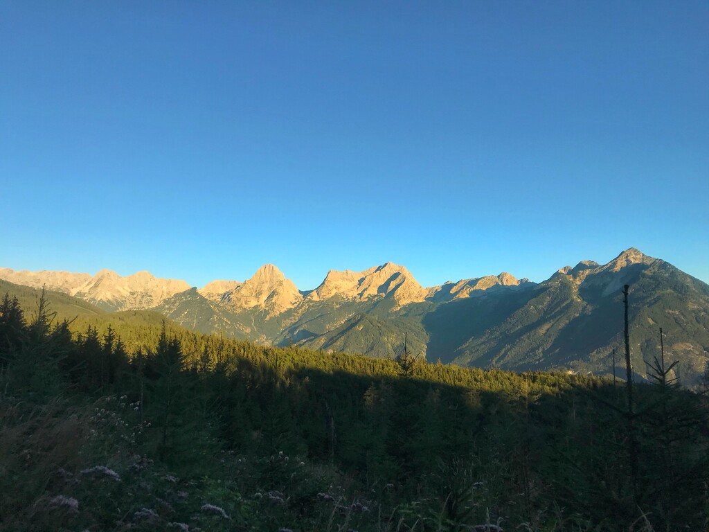
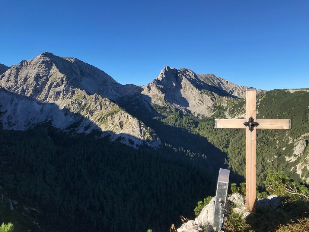
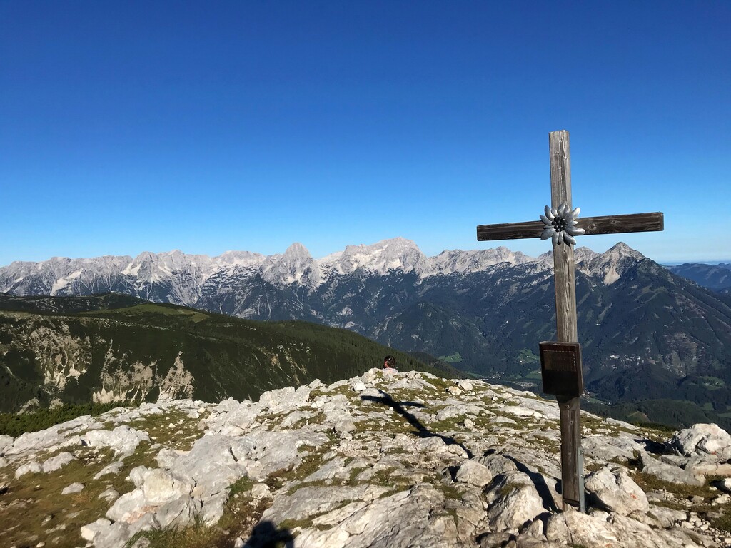
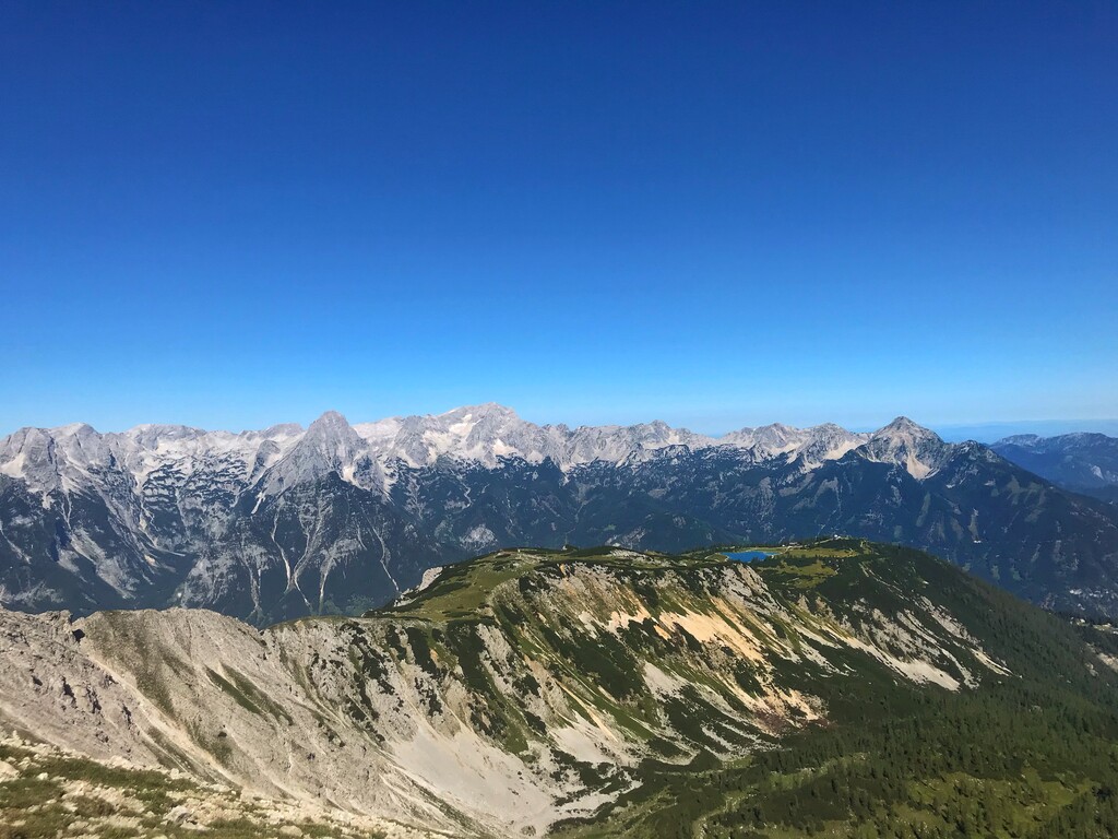
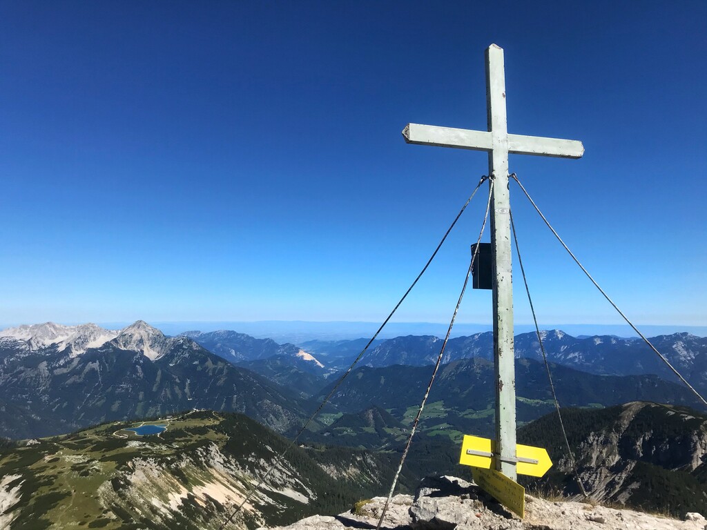
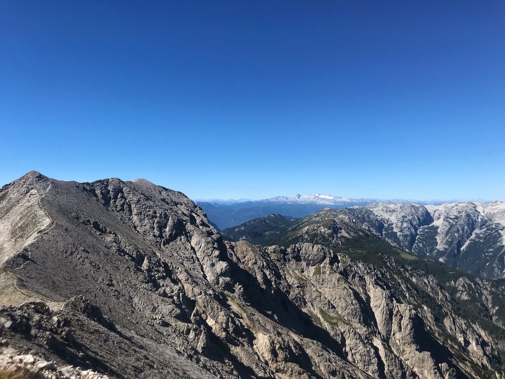
I followed the street direction "Edtbauernalm". From there I followed the sign and gravel path to "Steyrsbergerreith". After reaching "Steyrsbergerreith" I headed direction "Schafferteich". From there on the trail is a mix of gravel and forrest paths. From "Schafferteich" I followed the hiking trail to "Zellerhütte - Warscheneck". (took a break at Zellerhütte and refilled my bottles). I carried on following the path to "Warscheneck", at one point I took a right to reach the top of "Schallerkogel" (1st summit). Back to the original track to "Warscheneck" summit I passed the top of "Lagelsberg" (2nd summit). Next point of interest was the top of "Warscheneck" (3rd summit). From there on I followed the trail direction "Schrocken". On my way there I reached the top of "Liezener" (4th summit). After a long rocky downhill part I reached "Zwischenwänden". From there on it's almost a flat but rocky terrain. After a while running on rocks I reached a crossroad from where I followed the signs to "Elm/Elmscharte". From "Elmscharte" I just followed the ridge to "Schrocken" (5th summit). I stayed on the ridge to reach "Kaminspitz" (6th summit), "Hochmöbling" (7th summit), "Mittermöbling" (8th summit) and "Kleinmöbling" (9th summit). From "Kleinmöbling" I started to descent to get on the track to "Hochmölbinghaus". The track changes from rocky terrain to grass single trails. I always went straight and followed the signs (marked flags) to "Hochmöblinghaus". Again at "Hochmöblinghaus" I took a break, had something to drink and refilled my bottles. Afterwards I followed the way direction "Türkenkarscharte". On my way there I passed "Sumperalm". There is a water spring as well as some chilled drinks (beer and juices - for money). As soon as I reached "Türkenkarscharte" I took a left to start my ascent to reach the top of "Hirscheck", the last summit (10th summit) of the track. I took the same way back to "Türkenkarscharte" and then followed the single trail (passed "Bärenalm") all the way till I reached the main road to Hinterstoder. I stayed on street for appr. 5k till I reached the center of Hinterstoder. (went to the grocerie store prior my last ascent back to "Hutterer Böden"). I followed the hiking trail Nr.217 back to Hutterer Böden.
(video of my trip will be published on my instagram account mxl.ko)
Hope you are enjoying the track and you will have as much fun as I had!