Start: Hutterer Böden
Finish: Huterer Böden
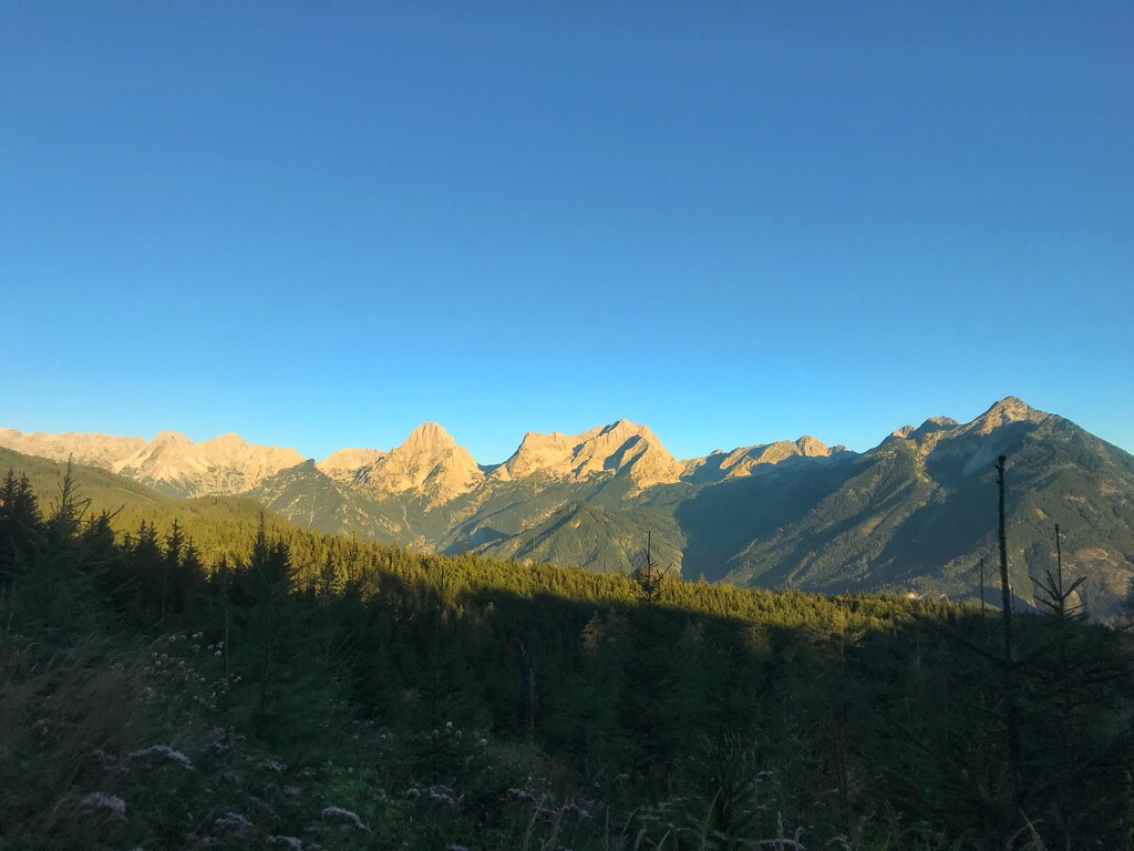
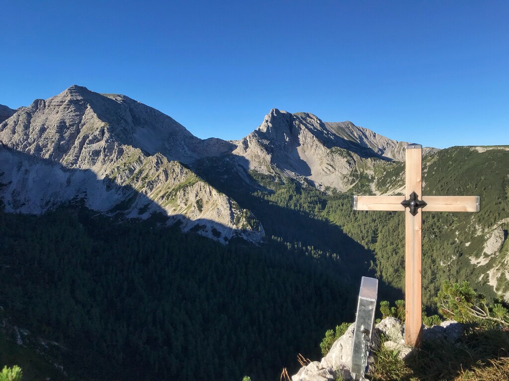
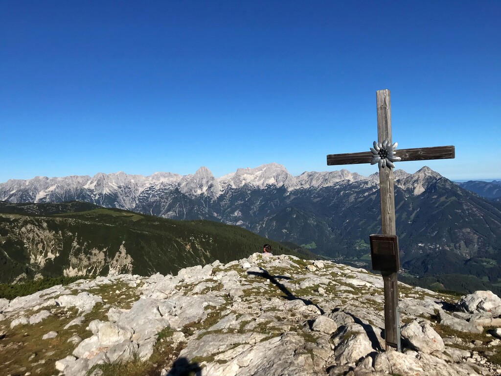
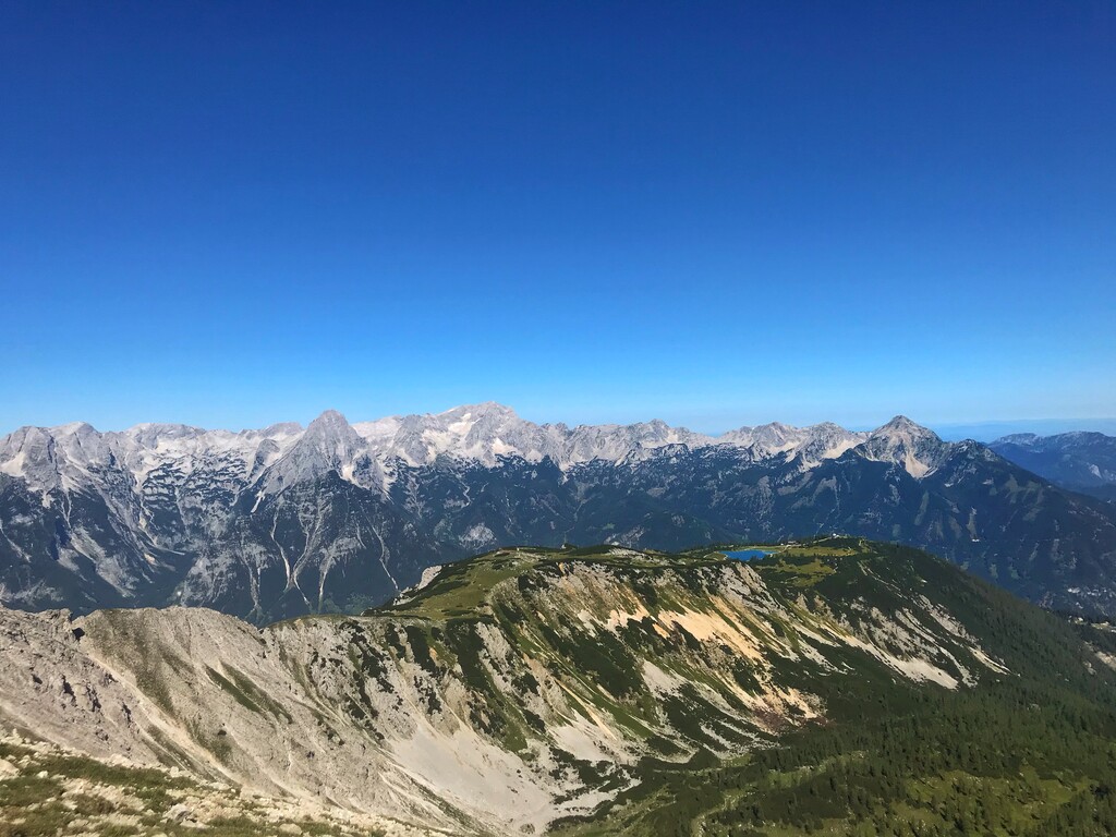
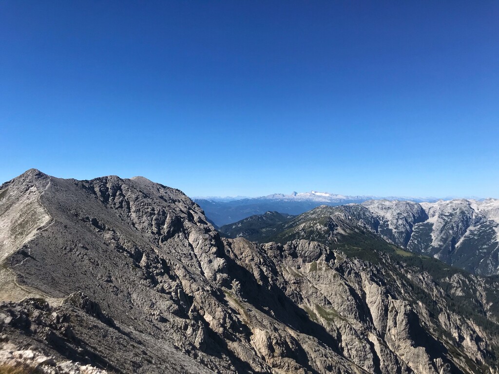
Follow the street direction "Edtbauernalm". From there follow the sign and gravel path to "Steyrsbergerreith". After reaching "Steyrsbergerreith" head direction "Schafferteich". From there on the trail is a mix of gravel and forrest paths. From "Schafferteich" follow the hiking trail to "Zellerhütte - Warscheneck". At Zellerhütte you can refill your bottles. Following the path to "Warscheneck" at one point you have to take a right to reach the top of "Schallerkogel" (1st Summit). Back to the original track on your way to Warscheneck summit you pass the top of "Lagelsberg" (2nd Summit). Next point of interest will be the top of "Warscheneck" (3rd Summit). From there on you follow the trail direction "Schrocken". On the way you reach the top of "Liezener" (4th Summit). After a long downhill part you will reach "Zwischenwänden". From there on it's almost a flat but rocky terrain. After a while you will reach a crossroad from where you have to follow the signs to "Elm/Elmscharte". From "Elmscharte" you follow the ridge to "Schrocken" (5th Summit). From now on you stay on the ridge to reach "Kaminspitz" (6th Summit), "Hochmöbling" (7th Summit), "Mittermöbling" (8th Summit) and "Kleinmöbling" (9th Summit). From "Kleinmöbling" you start to descent to get on the track to "Hochmölbinghaus". The track changes from rocky terrain to grass single trails. Always go straight and follow the signs (marked flags) to "Hochmöblinghaus". At "Hochmöblinghaus" you have again the opportunity to refill your bottles and get something to eat. Now you have to follow the way direction "Türkenkarscharte". On the way you will pass "Sumperalm". There is a water spring as well as some chilled drinks (beer and juices - for money). When you reach "Türkenkarscharte" take a left to reach the top of "Hirscheck", the last summit (10th Summit) of the track. Take the same way back to "Türkenkarscharte" and then follow the single trail (you will pass "Bärenalm") all the way till you reach the road to Hinterstoder. Now you have to run on streets for appr. 5k till you reach the center of Hinterstoder (there is a grocerie store if you want to buy something to eat or drink). Now you have to do one last climb following the hiking trail Nr.217 to "Hutterer Böden".
Since this is a loop you can start anywhere, and go either direction.