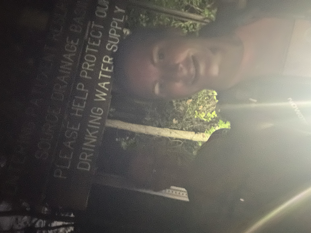
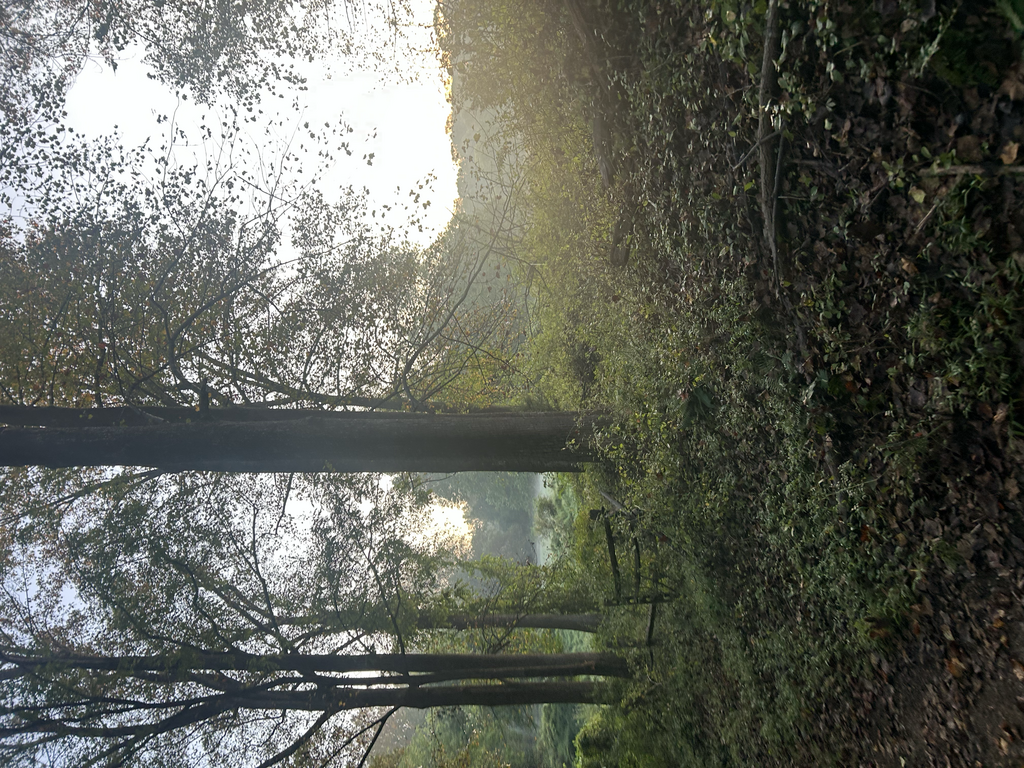
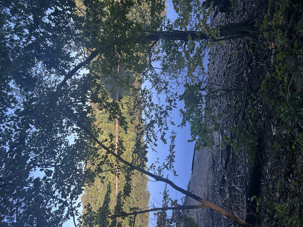
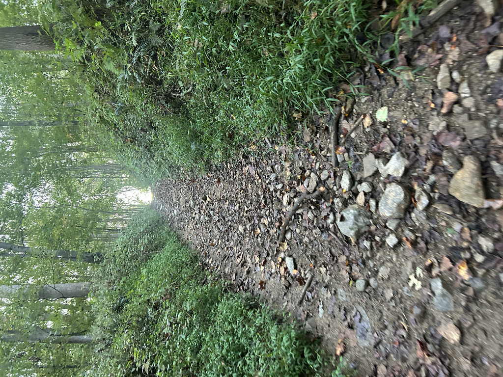
In our endless search for local elevation training Alyssa and I came upon this route and decided to go out for an adventure. We started a little after 6am on 9/19/2025 and took off into a cool humid morning. We found the trail thick with wet grass but open and easy to follow. Soon we came upon large rolling hills, up and down, over and over on a double wide mostly smooth trail. With 2000'+ of gain in the first 8 miles we were in heaven as we reached the gate that signified the end of the outbound track on this route.
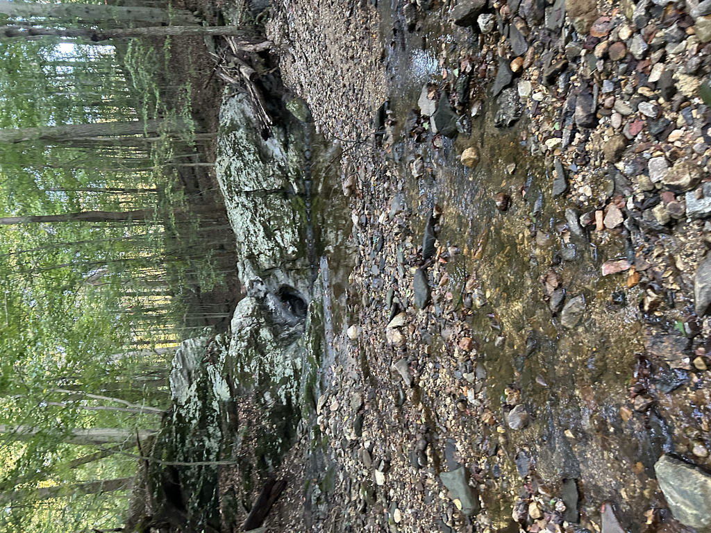
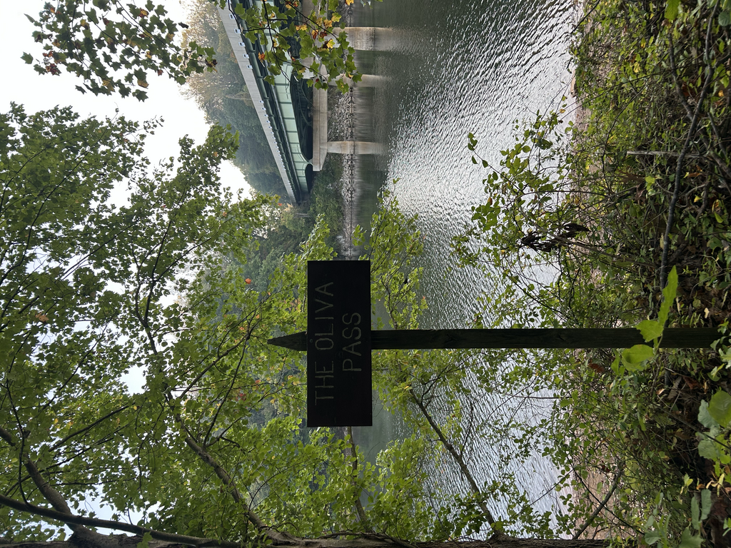
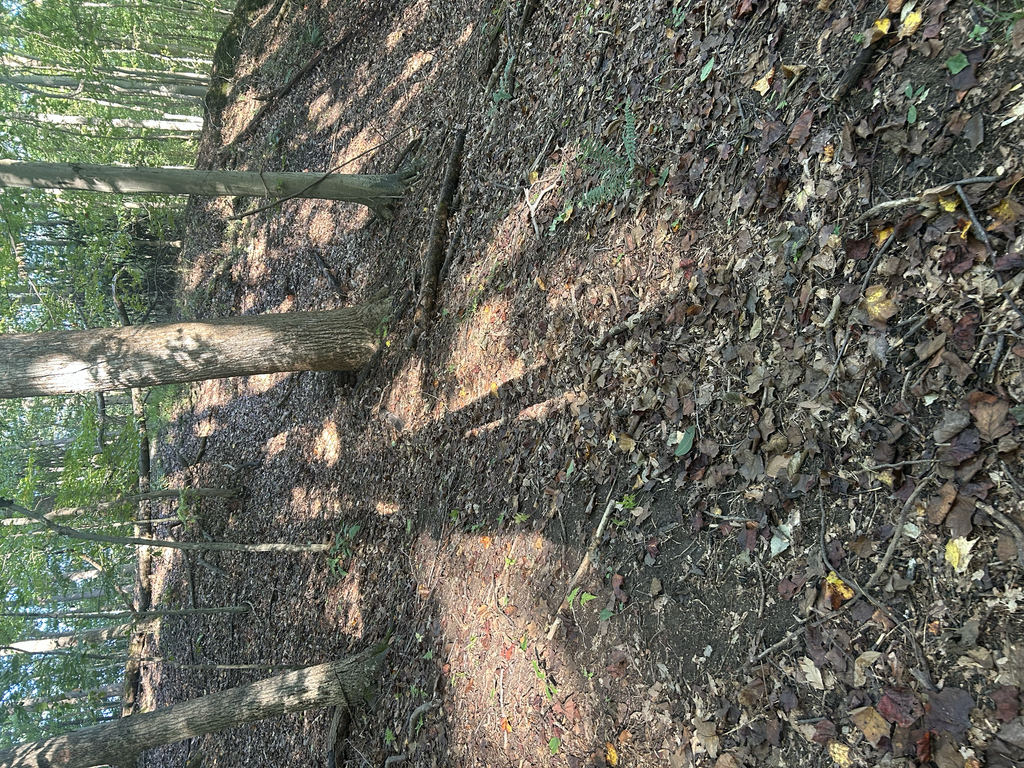
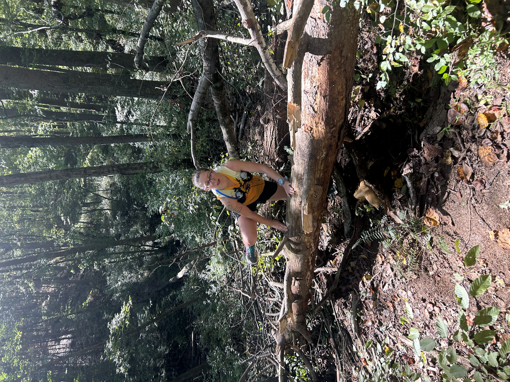
We then headed onto the single track that twisted and weaved through the forest running parallel to and fro between the outbound trail and the reservoir. We caught gorgeous view and enjoyed the run tremendously bantering on and on about future training runs here... and then the trail disappeared. I tried to follow my red navigation line on the watch but we were off and the trail was seemingly nowhere. Zooming in further we were able to get back to the trail then run back to our last point and retrace our steps to do the route correctly, this happened again and again and again between mile 12.5 and 15.5. We were a tad frustrated as we ran back and forth and wandered in the woods. Now, it got hot too. We both carried 2.5L of water from the start but there was plenty of water crossings for filtering (now we know).
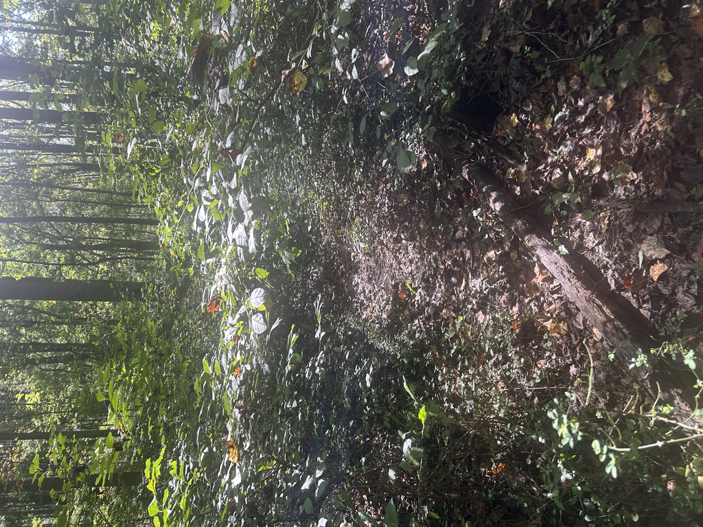
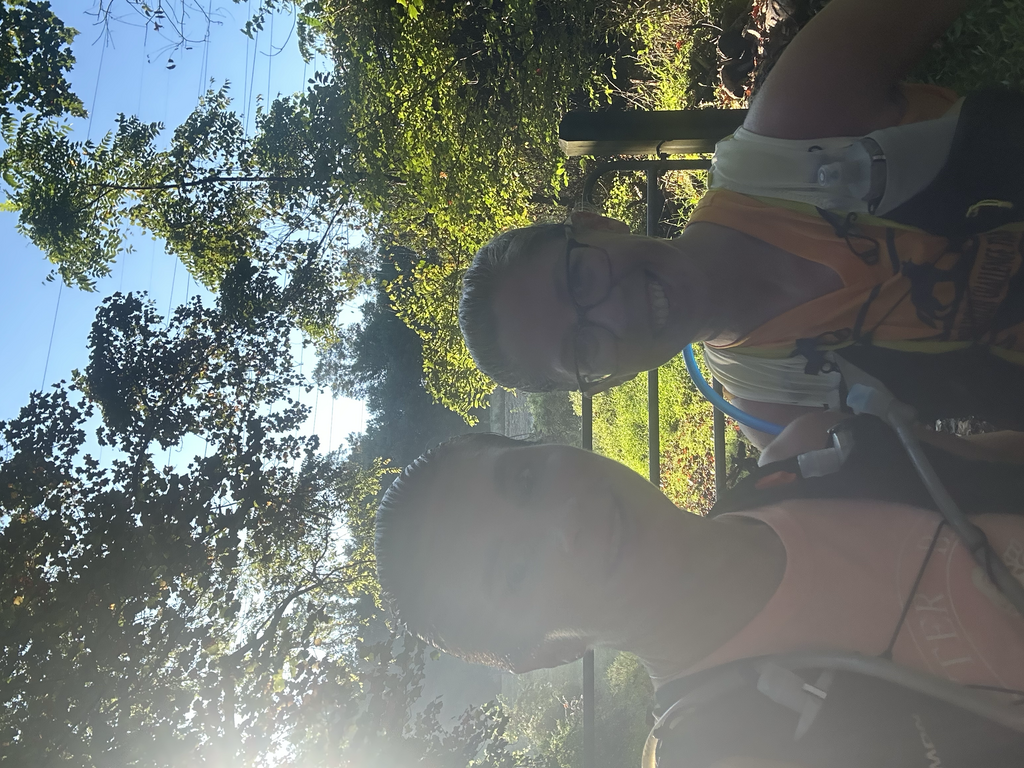
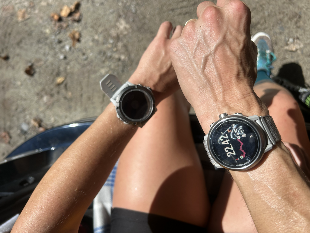
At this point, we're just hoping we've completed the route well enough. Things are moving slow but we're not lost, however as we make it to mile 19 or so, the trail is overgrown with weeds and thick grasses again, but who cares! We both are ready to get back to our cars for cool drinks and yummy snacks. We roll through thick grass until the inbound track meets the trail entrance and we pass through the trail gate until my watch agrees we have run the full route, 5:40:58. A bit slower than we'd have liked, but what an adventure!!