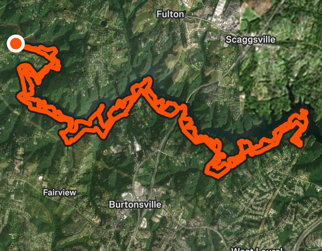
Location
Maryland,
US
Distance
23 mi
Vertical Gain
4,600 ft
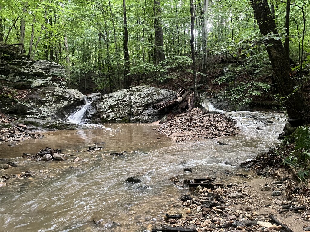
Description
GPS Track
FKTs
Male
Female
| Ryan Williams, Brian Quillin | 4h 46m 56s |
| Meg Landymore, Alyssa Cook | 5h 40m 58s |
Images