


After being unable to get into WA for the second year running (No Delirious WEST again). This year the FKT of choice was the Great South West Walk. Down in South Western Victoria, the 250km walk covers forest, the Glenelg River, the Southern Coast and the spectacular headlands just outside of Portland.
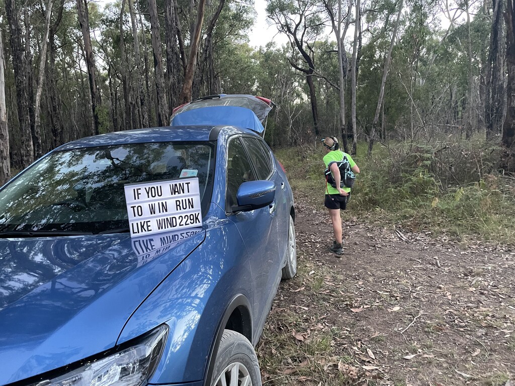
The trip down to Portland in itself was an adventure as we hit a Roo just outside of Seymour. Writing off the car and I had an unplanned train & bus trip to Melbourne Airport to pick up a replacement hire car. So we had one day instead of two to scope out the track before I ran!
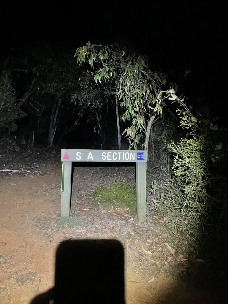
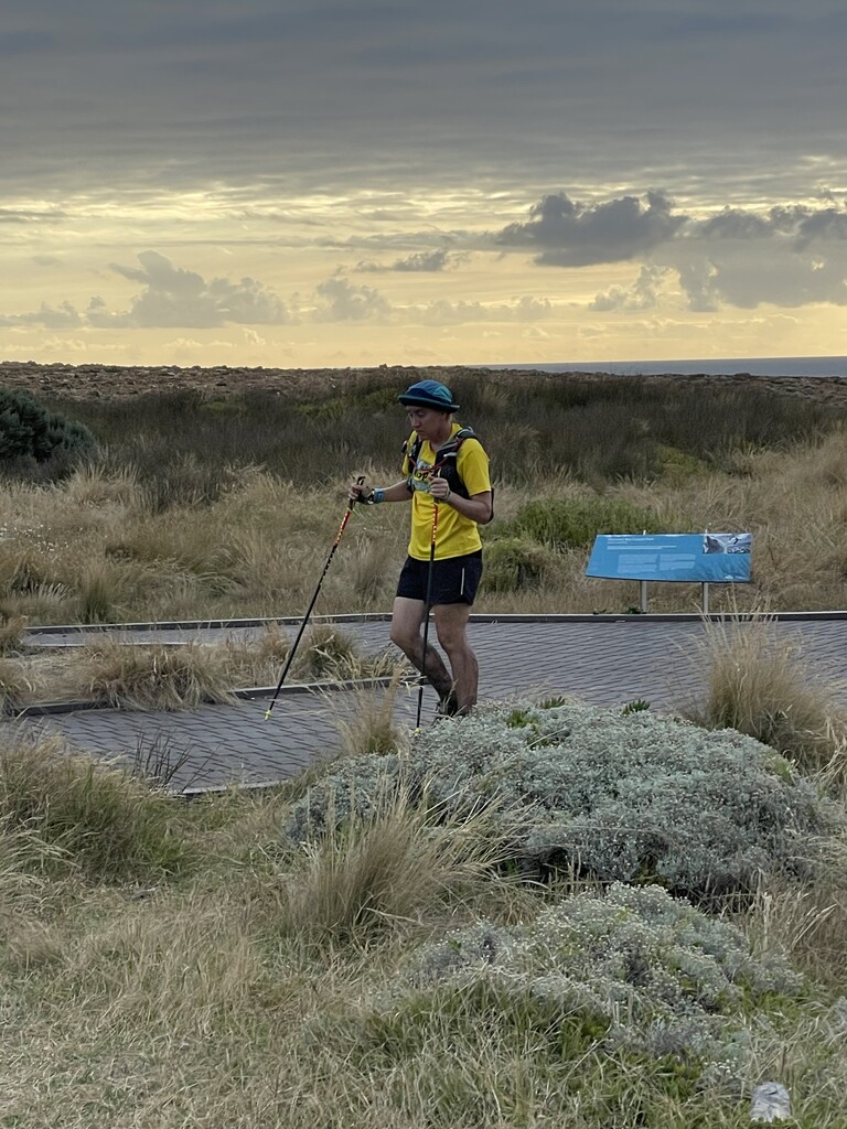
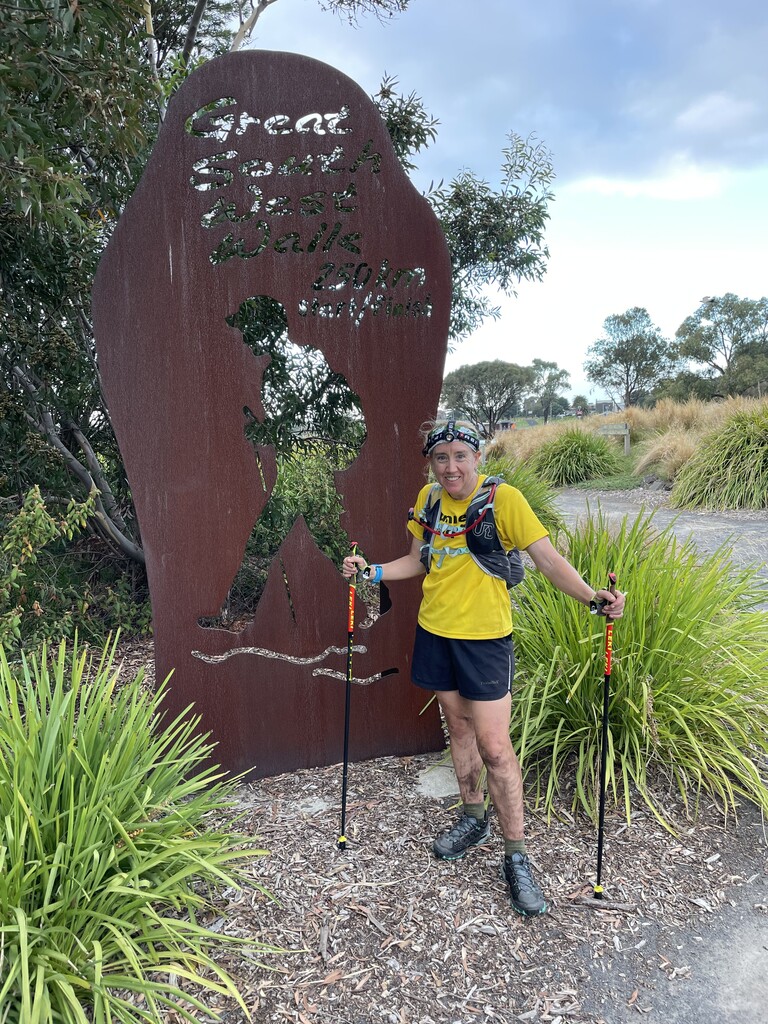
All the scoping done, I was a bit more tired than I like but was at the Info Centre just before 4am Tuesday morning. A couple of photos in front of the signs & starting the new tracker I had hooked up for anyone that wanted to follow. I counted down the 4am start and mum filmed me running off.
The initial run out of town, I think was nice. I mean you follow the coast line. But it was also dark, and I was very busy watching out for track signs, plus following the GPX on my watch. So the impact of the track didn’t really kick in until I crossed the highway and saw my first Koala! I have never seen a Koala while running!! It’s eyes lit up a pale yellow almost white in the headlamp and it was just sitting in tree (which is what they do, but still…. KOALA!). Onwards to a country road that was lined with trees and KOALAS! I ended up counting 10 Koalas in this section!! They are rich in Koalas down there!
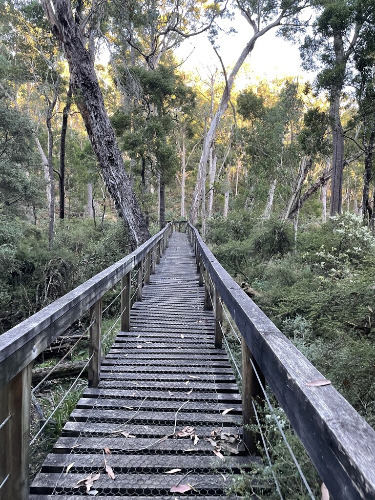
Some more bush. Very runnable on the outskirts of properties and a train line and overall quite nice. The first campground that I came to (Cubby’s) looked nice, but I didn’t stop to look around too much. There were two hikers camped there and I was trying not to disturb them… Which failed miserably and one had stuck his head out of the tent to ask if I was off for my morning run…. “Not quite”.
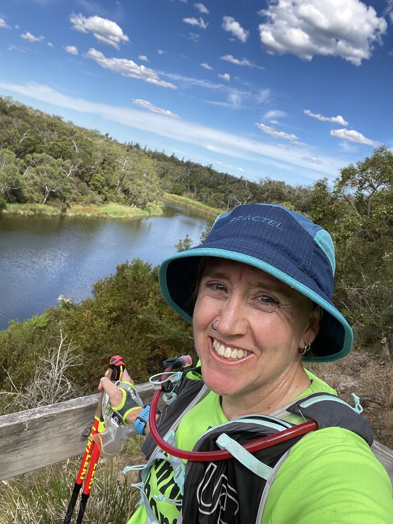
I met mum just after sunrise on one of the forest roads. Dropping off my headlamp and picking up my hat. The day was nice, the trails runnable and all was well.
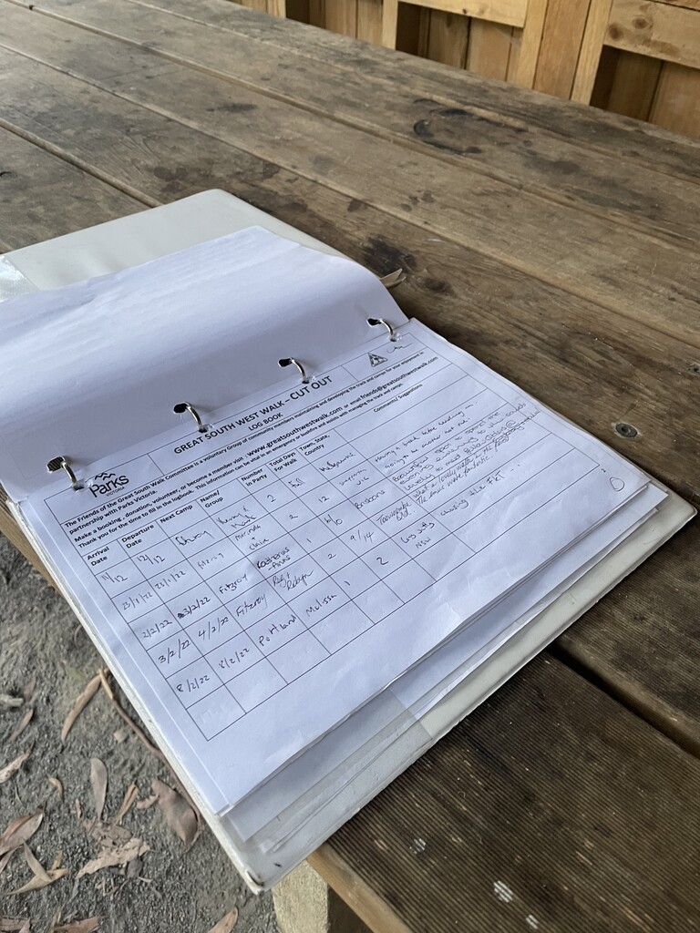
The Cobboboonee National Park that I was running through is relatively flat, with the track itself well marked. Lots of Wallabies and birds, but no people apart from those first campers. At the next campground I found that there were books to sign. So I started signing them with the time of my visit and how long I’d been running for. At the very least I figured that would be interesting for the campers to read as they hiked the track. I also liked seeing if there was anyone up ahead.
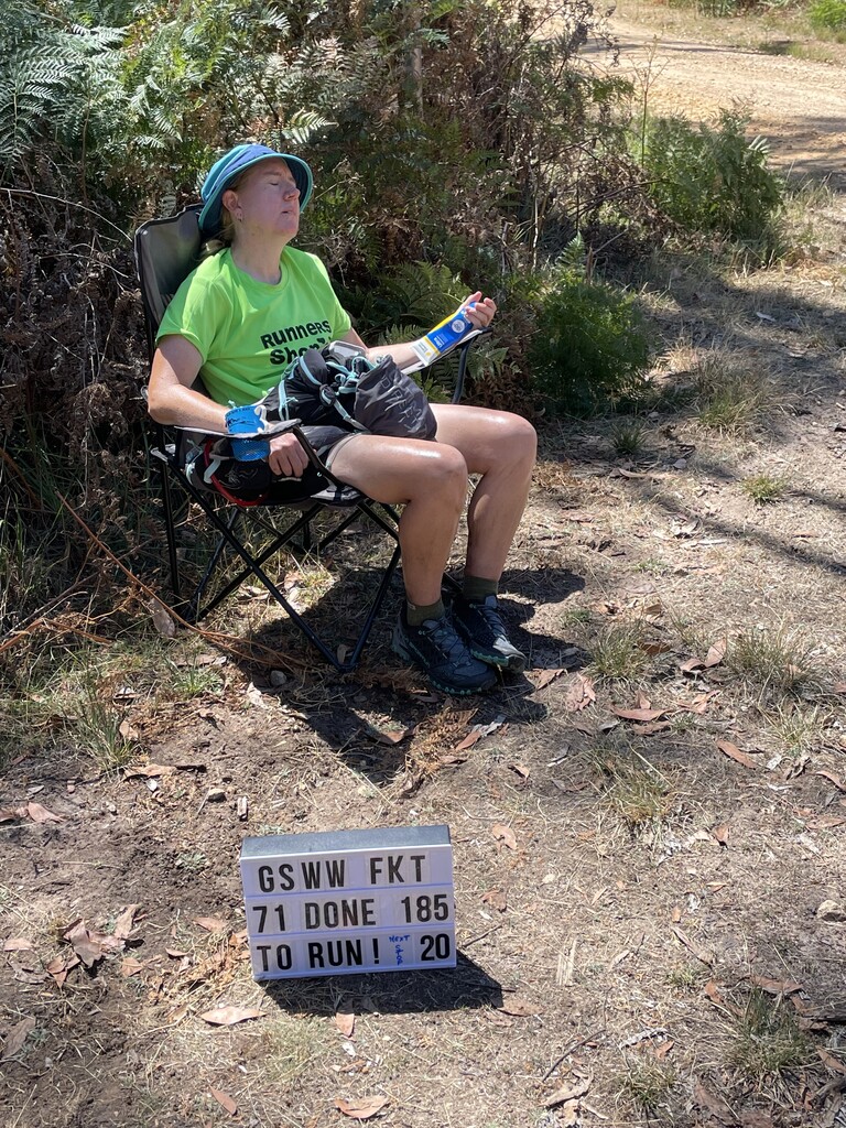
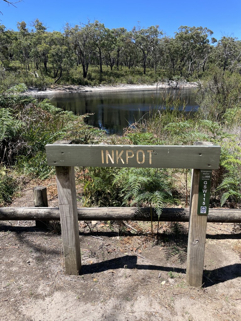
I made a mistake when mum relocated one of the aid stations from a road intersection to what I thought was only a couple of extra K down the road to Inkpot (A round dam, with dark coloured water). It turned out to be more like 4 and a bit k and the day had gotten much much warmer. Luckily I’d filled up a 500ml soft flask at Fitzroy Camp and treated the water, because I ran out on the way to meeting up with mum. Getting into Inkpot it was very hot! And I was cooking. I spent a few minutes cooling down, before hitting the track again.
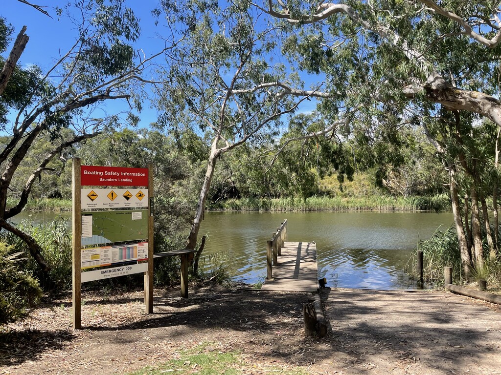
The day continued to get hotter. Unfortunately the occasional glimpses of the Glenelg River, or even running near it didn’t help with the heat. I ended up wading in off the boat ramp at Saunders Landing and floating in the river to see if that would help. It did…. Briefly. But it was way way too hot in that forest! I came into meet mum at Pritchards (A caravan camping site by the river) completely cooked and got fluids and anything cool that I could. I should mention that the river is lovely. I’d never heard of the Glenelg River before coming here. But it’s very nice. Freshwater for most of it up from Battersbys (According to a fisherman that I met) and very popular for canoeing, boating and fishing. There’s actually a hiking and canoeing combo variation of the GSWW itself. Along the river there’s plenty of campsites, the ones for hikers + 4wd & caravan ones. No stores or houses or anything like that… Just lots of campsites and picnic areas.
By now it was high 30’s in the bush and even by the river and I was roasting alive. I was also struggling to stay awake. The heat had seriously messed me up. I stumbled into Sapling Creek Picnic Area to meet mum. This was our last meeting until 25k later when I’d see her in the small town of Nelson. I refilled on everything, tried to cool down. Then set off. As the sun was setting, I was very very messy. I was way too hot, I couldn’t stay awake, and I felt sick. This was uncomfortable and unpleasant. And even the limestone cliffs of the river didn’t keep me fascinated! Although I did like that there was a 3k section that crosses into and back out of South Australia (I’d read that they had permission to keep their track open even when borders closed). Technically you are trapped by cliffs and a river… So you’re not really seeing any SA people anyway.
Coming into Nelson I was a mess. It was very late at night now. Maybe it was early in the morning, honestly things are blurry and messy. I sat in the chair in the Rotunda at Nelson and fell asleep. I’d hit a low. The tide on the beach was also rising and I was worried about facing the sand at high tide. Normally one night is nothing to stay awake for. But today, I think the combo of the heat and not having enough rest before running I was a mess! Mum ended up having to kick me out of Nelson. Which was really for the best. Although I was very displeased about it at the time.
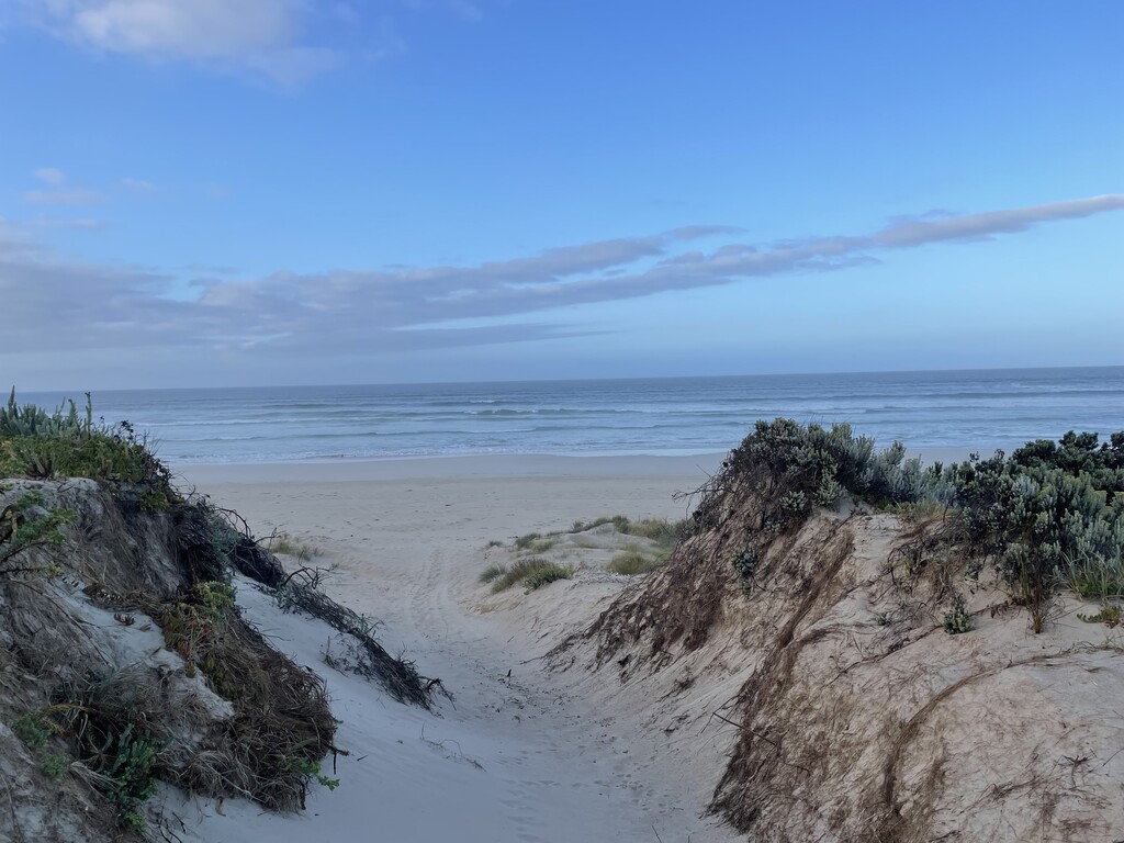
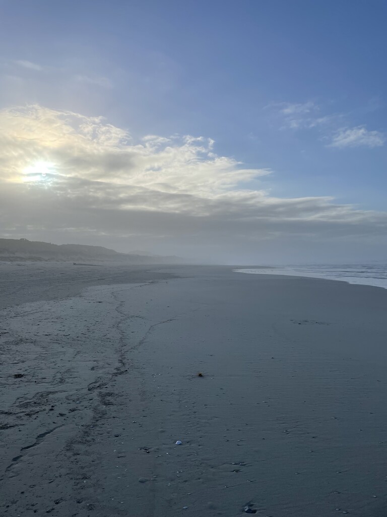
I hit the sand of Discovery Bay in complete darkness. And I mean complete… No moon, stars, lighthouses, ships out to sea, fishermen, houses or any other sort of lights. I could barely even make out the sandy dunes beside me and no idea on what was up ahead, there was nothing!! I have trained a lot on the beach in the dark. But there’s always been something. At the very least, Norah Head Lighthouse guiding me towards it. I had no idea how much I relied on that until I was trapped on this sandy treadmill of nothingness. Desperate times call for desperate measures. So I made my phone play music… as loudly as I could. I mean there was no-one to disturb. The GPX guided me off the beach for one section which I think was a tour of the dunes, maybe I was going around some large rock or something… Honestly I don’t know. It was dark, I couldn’t see anything. I should also mention that occasionally limestone rocks would show up on the beach, so I couldn’t risk running in complete darkness either (I’d also probably end up in the ocean). Possibly this whole Discovery Bay is quite nice in daylight, especially with other people…. I would be willing to give it a second chance…
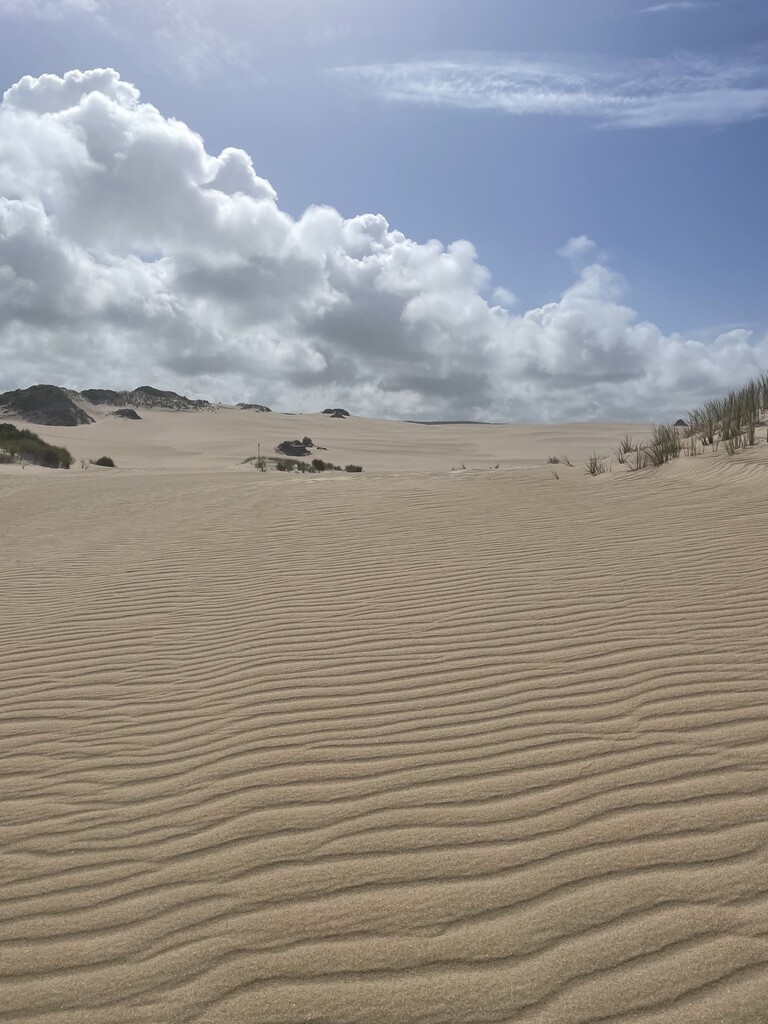
The sun came up around the time I visited Monibeong Camp (Mum couldn’t get to this one, the car couldn’t do the sandy track in). Back on the beach, now I could see how much sand there was… Yah! (Sarcastic). Still nothing… Gull, Larger Gull, Smaller bird, Pippi… Sometimes there was a different type of shell creature… Things were lively. No people still (And no people the ENTIRE WAY). I left the beach (FINALLY) and headed up over the dune buggy tracks into… the goddam Sahara Desert! I could see the trail poles off in the distance… Slog, slog, slog through the sand dunes (lucky I had my sand gators). FINALLY I made it to the campground, signed the book. Then pushed on to meet mum a bit further up on the road (She couldn’t get into this campground either).
Refueled after meeting mum and oh so happy to be off the sand. I set off for Mount Richmond. This is where the course actually diverts, you can either go back onto the beach and take the sand to Bridgewater, or go over Mount Richmond. As the FKT course goes over the mountain, that was the way I went.
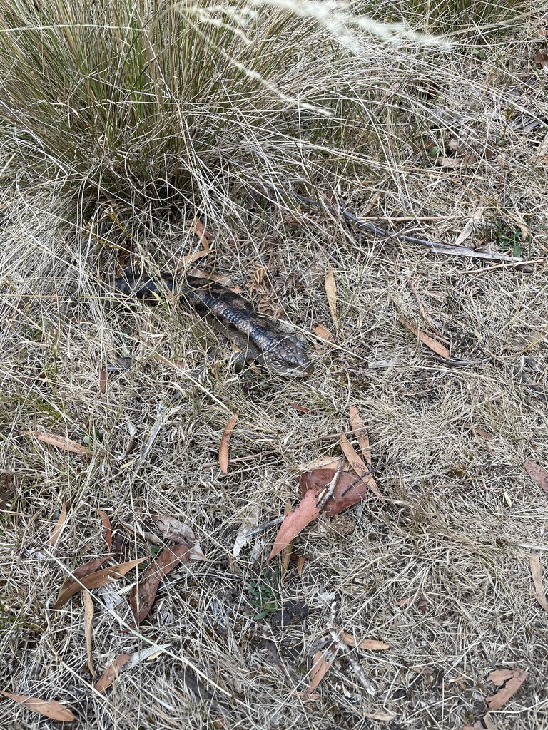
The hike up the mountain, while hot. Was nowhere near as hot as the day before and there was the occasional cool ocean breeze on the high points. I also saw the only two snakes I’d see the whole run. A Tiger Snake in an overgrown cow paddock that got off the trail and some darker coloured snake slithering very quickly off one of the trails a bit further on. Mum had made friends with some National Parks guys up at Mt Richmond picnic area (which was actually a really nice spot) and they were very curious about the running.
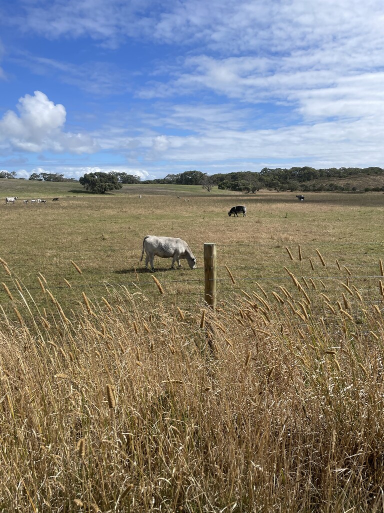
Down the other side, of the mountain, which had way more climbing then I expected and final descent through some sheep and cow paddocks where the livestock had million dollar ocean views and I could see mum all the way down in Bridgewater Carpark. Past Tarragal Cave (An open limestone cave in the mountainside that we’d climbed up to a couple of days before). Another refuel and off I went.
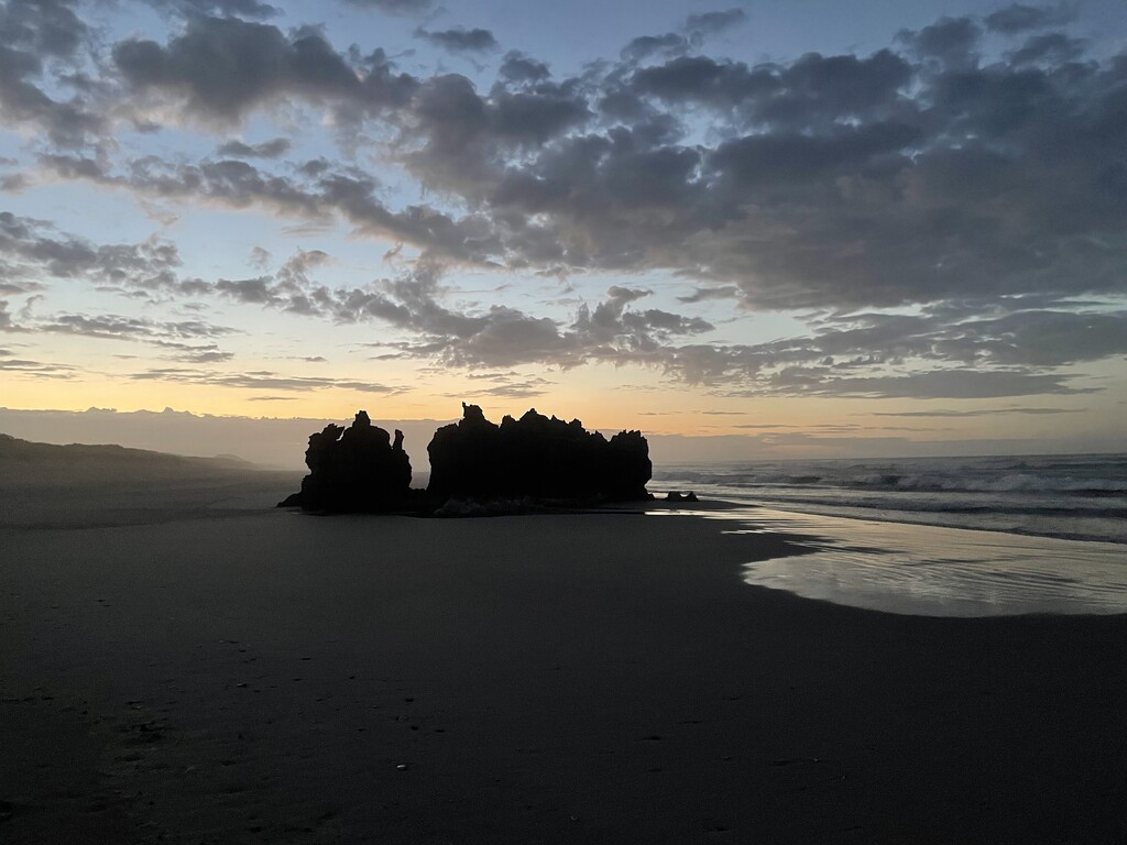
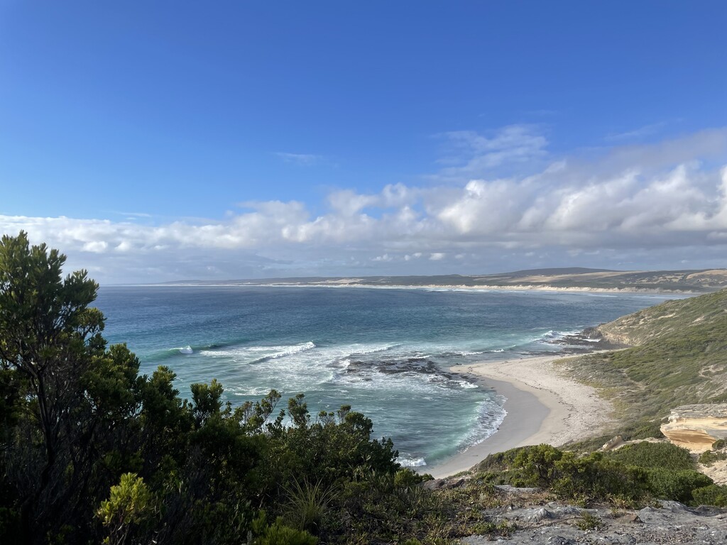
Cape Bridgewater that I now traversed the outer edge of was absolutely spectacular. I would happily go back and hike that whole section. There was the Petrified Forest (I thought some of the other limestone formations were better), the blowholes and the seals. But honestly the Southern Ocean was the best bit. I don’t know if it’s always like that. But it was WILD! Seas like that at home would have all touristing happening.
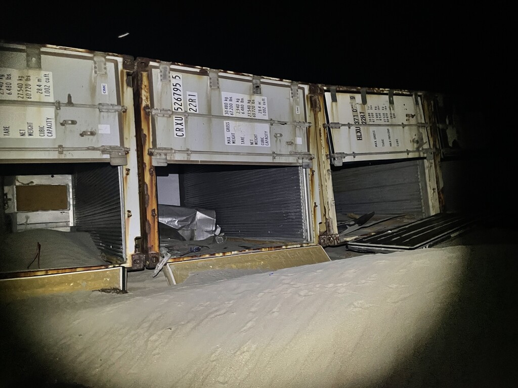
Coming off the Cape, and with the sun set, I met mum at Portland SLSC in the darkness. For what I thought was going to be an easy sand running section. I set off. The sand, was runnable, as long as you didn’t get too close to the water where it was more like quicksand. I also had a bird very confused by the headlamp run into my leg. Which was a little weird. The gpx on my watch was the only thing guiding me as I couldn’t make out the signs way up past the soft sand to know when to leave the beach. But guided in the darkness, I trudged up over the sand and found a half buried sign (good gpx). More sand as the track wound above the dunes to the next campsite, maybe there are nice views here. I have no idea. It was dark. Through the camp and back onto the beach. Full credit here, the washed up shipping containers were indeed interesting to see. I would have also liked to have been able to see what was more than 10m in front of me, maybe even an outline of a headland… But you can’t have everything. I was once again relieved to leave the sand. Which I completely underestimated and started the hike up Cape Nelson.
Meeting mum at both the end of a road (that the car could do) and also at the lighthouse. The track up around this cape was quite technical. And again I’d like to redo it in the daylight. As I suspect the views are really good when you can see them and aren’t worried that you are about to run off the side of the cliff. This time however I had a lighthouse! A guiding light to head towards! Nice lighthouse! I met mum there, refuelled and visited the last campsite (Mallee) which was the only one with a decent out and back to get to it.
No more campsites and the lights of Portland getting ever closer. The next part of the track took me on a tour of the wind turbines. I honestly thought I might have run in a circle here! I am sure they visit EVERY SINGLE wind turbine that is there. I had to check the map a few times to confirm, that I was in fact still running on the track in the same direction and had not done a loop. Wind Turbines in the dark, are kind of nice, but lots of wind turbines in the dark are confusing. I FINALLY stumbled out of the wind turbines meeting mum by Lawrence Rock carpark for the final refuel and 9.5k into Portland.
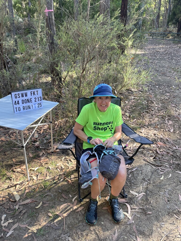
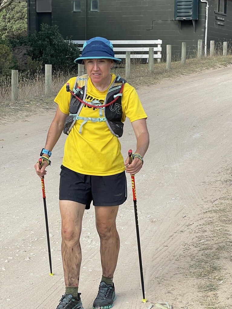
Back on the track, clearly there was a few wind turbines that hadn’t been seen yet. So the track took me on a tour of them. Then the rifle range and giant pipe (I am not sure what the giant pipe is used for, but it goes to the port). With the final few K on the footpaths into town and down to the info centre at Portland. Getting back to the sign (Following the FKT route & visiting all the campsites) in 51 hours 39 minutes.
Overall the track is well marked, the campsites look great (and had water!), and there’s a good selection of variable terrain. As an FKT circuit it’s perfect, and would even make a good 250k Ultra race if anyone put one on.