
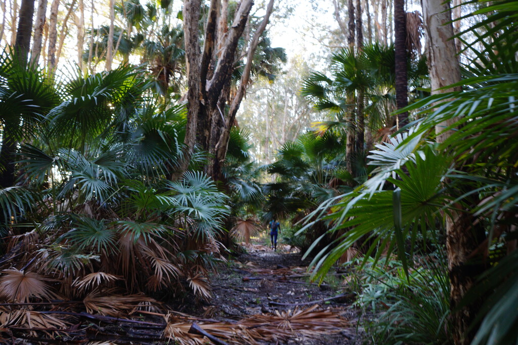


The Myalls to Tops trail was a surprise. We love our hills and seek them out, but wow, these ones were more than we could have anticipated.
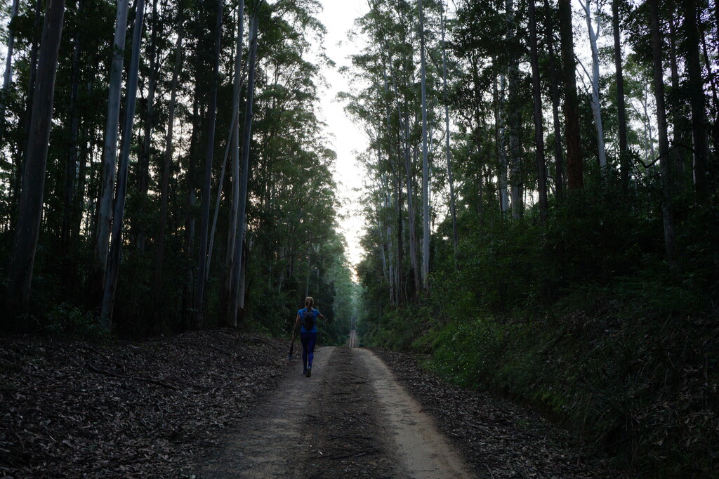
Originally designed for multi day hikers to start in the tops and end at the coast we had decided it was appropriate to tackle the more challenging direction, and it certainly lived up to that. It is almost entirely on unsealed paths, forest roads and fire trails so is well shaded, not particularly technical and soft under foot.
The positions for food resupply are at 30km then 50km and that’s all, so given the large un serviced section we opted to leave an esky load of food and drink on the main road that the trail crosses at 118km and make it a self-supported effort. This provided a great check point and past halfway goal which well and truly saw us through to the end.
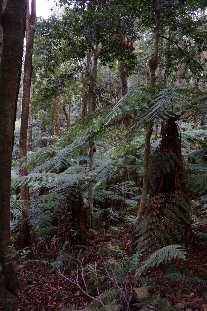
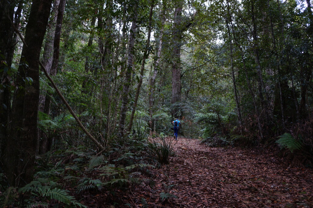
The Main range hill starts after 118km and marks the cross over into the business end of the trail which is more often than not, challengingly steep both up and down as you slowly increase the elevation up to the highest point of 1400m above sea level. It is in this section that you really start to feel like you are in the wilderness with cathedral like old growth forest towering overhead and below in deep ravines which are filled with the melody of countless lyre birds in full song.
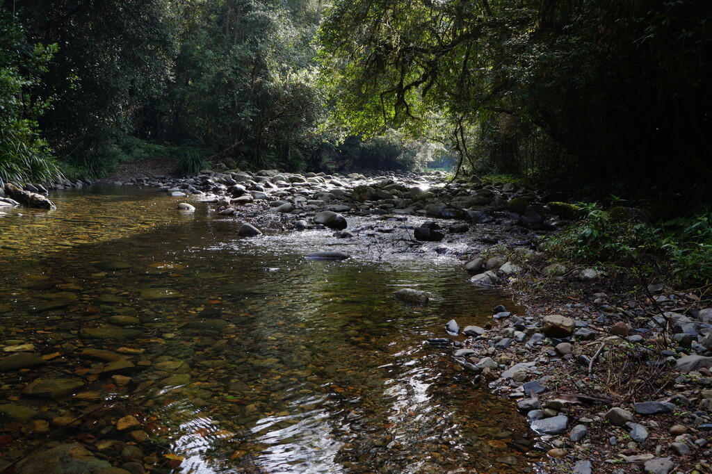
The only significant water re supply until Gloucester tops, The Karuah River, is a beautiful clear, smooth boulder strewn fast flowing river which we imagine would be even more welcome in summer. After the river it’s the needle acute Gloucester gap which gets you down and then up at a less than comfortable angle but all with the same beautiful smooth leaf littered paths. Once though the gap, its Gloucester tops, with its frigid knee high creek crossing threshold to negotiate, something you can do with out in winter at night but also a great last water fill up before the end in 29km.
Once up in the Tops the terrain significantly eases its sting with beautiful undulating forest roads turning into an epic grass tufted link track called the Link Track. Its finally easy street for navigating and you can take in the unusual sub Alpine grass lands and moss covered rainforests as you anticipate the last 8km down hill of the corker track.
We had a fantastic time and highly recommend it if you are after a challenging coast to mountain route that is near Sydney.
Comments
Hi girls, amazing effort! I am planning to do the walk with some friends in a few weeks. I just wanted to know, did you go through any of the campsites? And are you able to share a bit more about how the food supply worked and where you left your esky? Thanks so much! :)