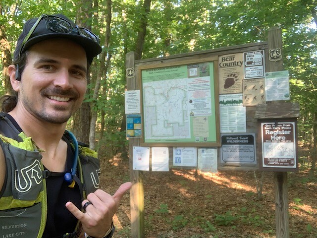
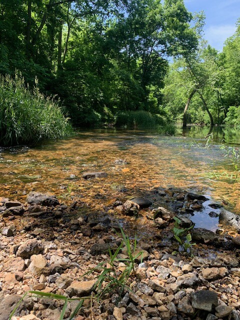
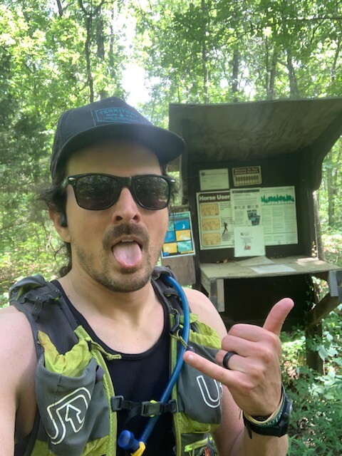
I began the Ozark Trail - North Fork Section at the south end Collins Ridge TH at 8:34am. On a warm day you probably want to start at sunrise but I already had a 2+ hour drive to get there so went ahead knowing the temps were going to get real hot real quick. As I was in town on a trip I didn’t have my usual set up and forgot a water filter. Filled my 1.5L hydration bladder and ran out of water at mile 20. The last 7 hot miles were pretty miserable and I wasn’t going to risk drinking unfiltered out of any stagnant water. The trail is probably a bit faster starting from the northern Pomona TH but Pomona is closer to civilization (1 mile to gas stations and a general store) so pick your poison.
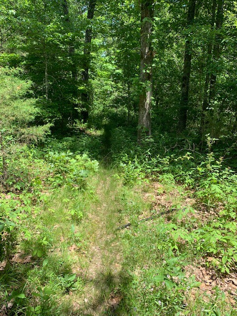
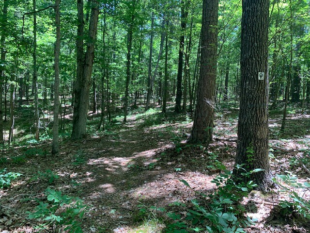
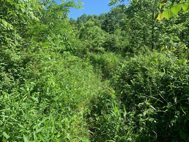
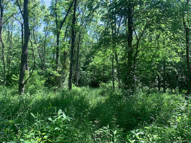
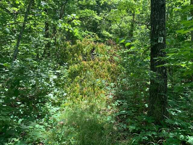
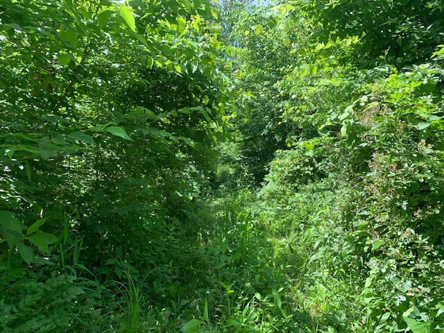
The trail itself was much more difficult than I had anticipated. It was overgrown to the point where I was running through thigh high grasses and thorn bushes seemingly 1/2 the time. My legs were cut up accordingly. As stated in prior trip reports the trail is incredibly rocky so pray for your ankles. You’ll be looking directly down at your feet 90% of the time. After the water crossing you’ll be running in wet shoes and socks until they dry, if they dry. It took mine an hour at 80 degrees. Having someone to give you a towel, dry socks and dry shoes at the Blue Hole TH would help immensely. I saw 2 people the entire day, together and both on horseback. Due to the low use and overgrowth of the trail not only was I constantly covered in spider webs but I also ended with, I shit you not, 37 ticks on my legs. Route finding was often difficult, especially in the Devil’s Backbone Wilderness, so PLEASE don’t go out there without a very good ability to navigate your way through the backcountry. I took brief wrong turns more times than I can count and probably 15 times might not have found the trail if not for GPS. Even with it I sometimes was searching for a minute or two of where the trail would pick back up. See my fun array of “this was literally taken of the trail from the middle of the trail” photo montage. If your equipment runs out of batteries or you don’t know how to read a paper map with compass it could get real dicey real quick.
I honestly wouldn’t recommend this section to anyone as a destination unless you like a sufferfest. If you however do like a sufferfest go get this!