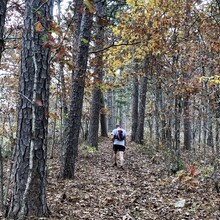
Route: Ozark Trail: North Fork Section (MO)

Submitted by jwshelby on Mon, 10/26/2020 - 10:53am
Location
Missouri, US
Distance
27 mi
Vertical Gain
2,400 ft
Description

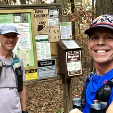
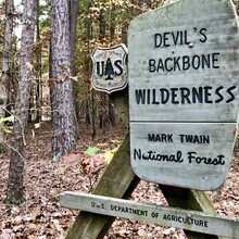
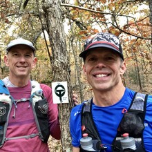
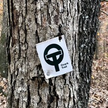
The North Fork section is one of 14 individual sections that make up the Ozark Trail (OT) within the Missouri Ozarks. Britannica says, "The Ozarks and the adjacent Quachita Mountains represent the only large area of rugged topography between the Appalachians and the Rockies." The Collins Ridge Trailhead of the North Fork section is located at the southern most point of the OT. When starting at this trailhead, the OT shares trail with Devil's Backbone Wilderness area before branching off on its own about 5 1/2 miles in. This section of the OT shares its name with the North Fork river. The trail passes near two homestead sites. Native shortleaf pines and mixed oak hardwoods are found throughout the trail as it rides ridges and drops into hollows. Lover's Leap is a notable scenic overlook found approximately 17 miles in. There are designated water sources throughout the trail. Expect rocky, rugged woodlands from beginning to end.

Comments

User Picture
Profile picture for user jwshelby

FYI, There is quite the discrepancy on elevation gain. Strava has my gain at 2435' and they have Gary's gain at 3235'. Trail Run Project has it at 2790' going from east to west. The opposite direction we traveled. 

The FKT map shows this section as being in Missouri and the name is "North Fork Section (MO)", but from the map it appears this section of the trail is in Arkansas.  Can anyone elucidate this?


Sean Nunn

Raytown MO