I put this project together to generate interest in an urban FKT challenge in central Massachusetts. I created it as a “Round” so you would start and finish in the same place and collect all seven hills while crafting the most efficient route possible. I’m looking forward to seeing what others come up with for a route. I hope you enjoy!
Some of the hills don’t have an “official” designated summit so I used my best judgement and described below what I believe is the appropriate summit location.
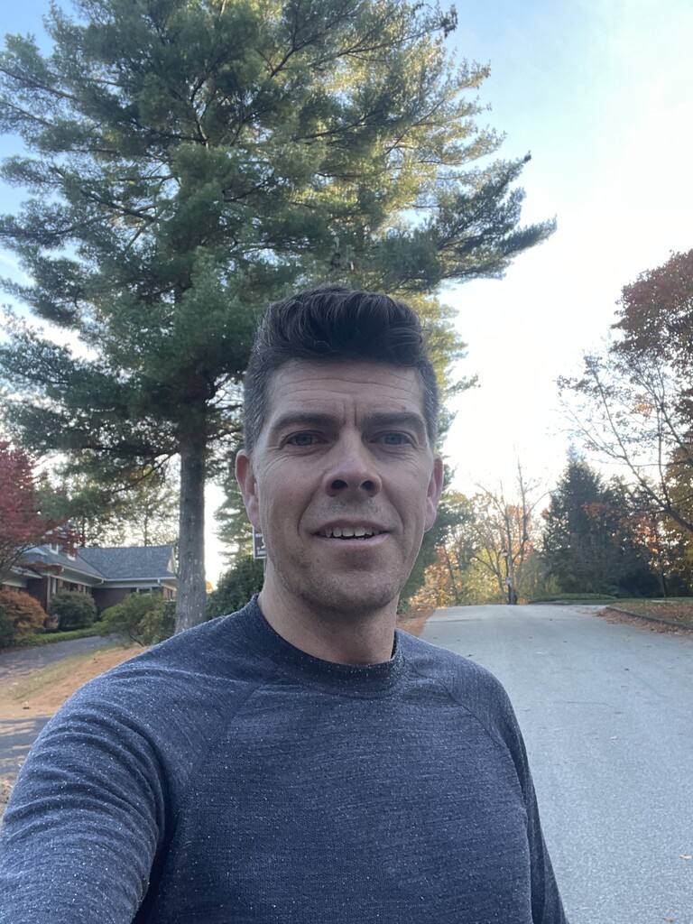
I elected to start and finish at Green Hill Park and I ran in a CCW direction. I this was a solo, self-supported effort. I stopped 2x along the way for water and snacks.
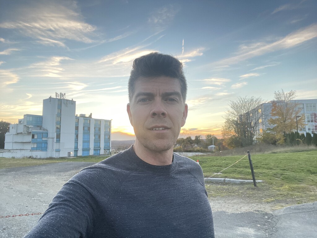
#1 I started at Green Hill Park and went to the top of Green Hill. I made an early stop here to get some water for the run. The snack shack only accepted Venmo or cash and all I had was a card. The kid gave me water for free. Thank you very much. It looks like the summit is near the 2nd tee box but the course was in use and I didn’t want to disrupt the players so I just rounded the clubhouse just adjacent the summit. Leaving Green Hill to the north the golf course is putting up a new fence and the access drive which is normal open looks like it may be gated off soon, so an alternate workaround may be needed in the future.
#2 Hancock Hill is near Assumption University and there are some very nice Tudor homes along the way. The summit was not very distinguishable, I turned back around when I can to the crest in the road.
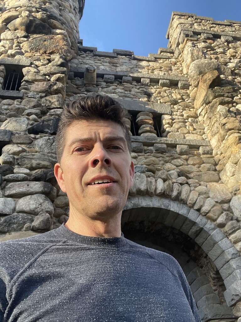
#3 Prospect Hill is near WPI and more commonly called Bancroft Tower for the large stone tower at the summit. Cool spot with great views of Worcester and beyond.
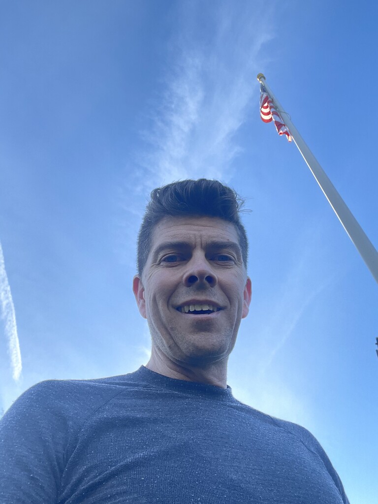
#4 En route to Newton Hill in an urban park behind Doherty High School I had to detour around the construction project building the new school. The summit is marked by a flag and memorial plaque.
#5 Next was a bit of a flat stretch headed south through downtown, by Clark University and then up to Holy Cross for College Hill or it’s original name Pakachoag from the Nipmuc Tribe. I took a detour over to a ridge top in a small urban park Cookson Field but the proper summit location is by the entry to the Hart Center in the campus. Leaving campus I got a bit corralled in by the fully fenced campus so I ended up having to double back a bit to get out.
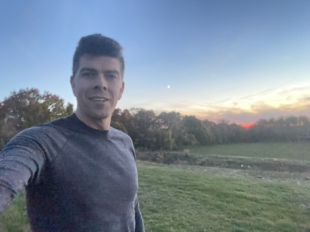
#6 Up next was Union Hill with the summit behind the old Saint Vincent’s hospital site and current Worcester Academy ballfields. The setting sun made for some nice colors in the sky to the west. I made a pit stop at a gas station on Grafton street for some more water and sugar.
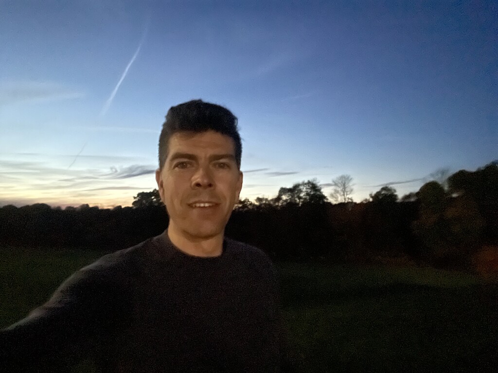
#7 As the night started to set in I made my way up a nice steep hill on Gage Street and then up a trail to Chandler Hill which is a small urban park. From here I returned to Green Hill where I started to complete the Round.