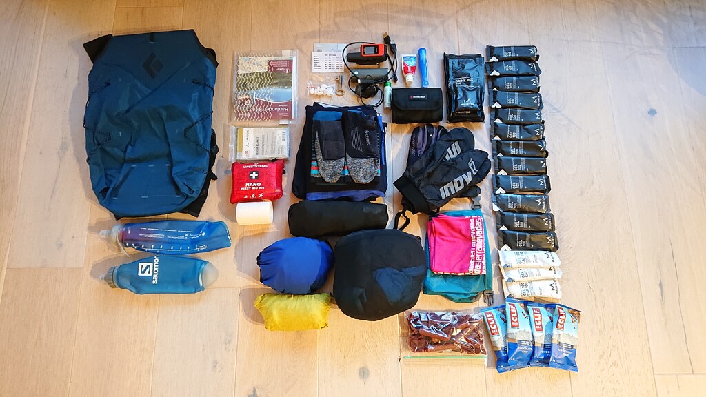
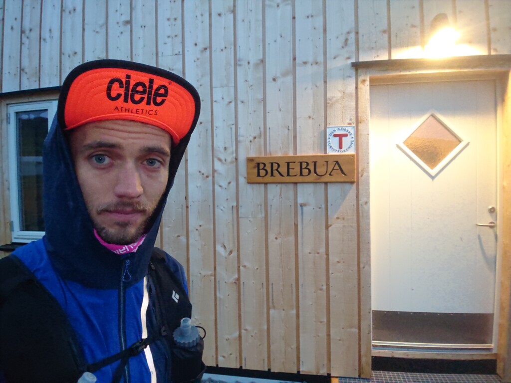
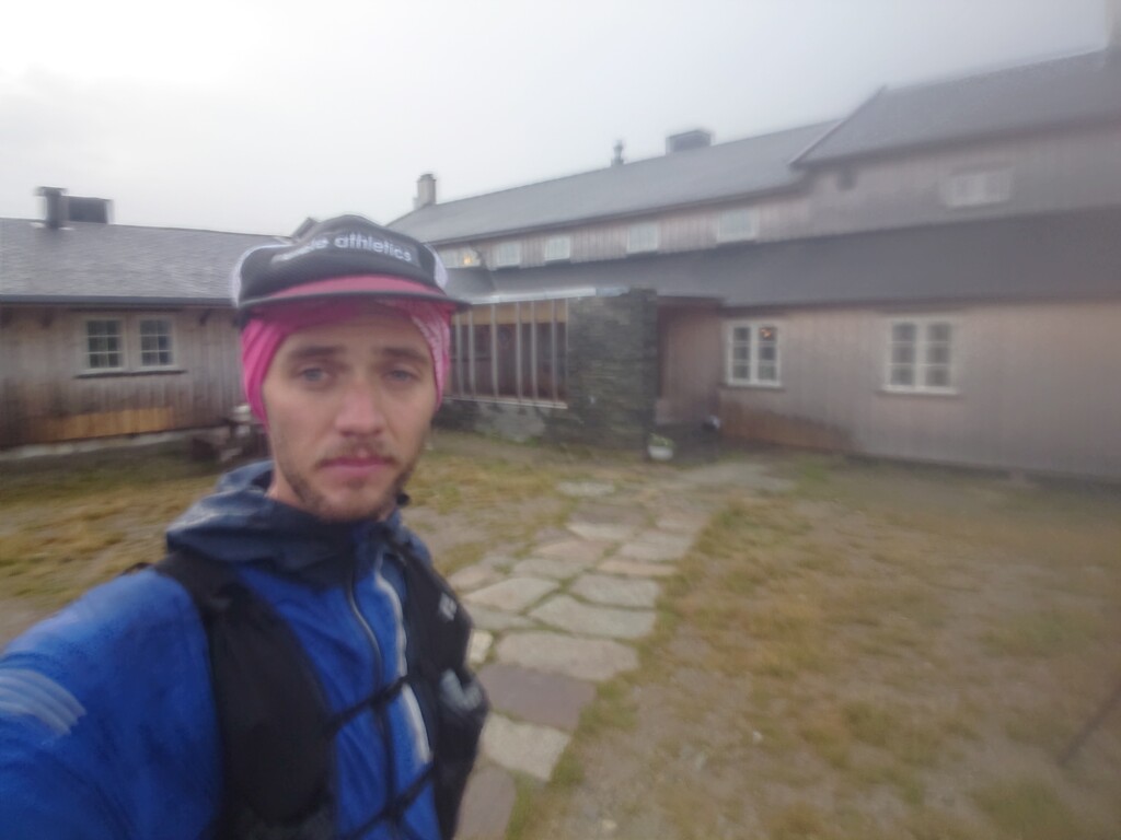
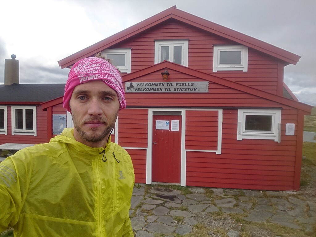
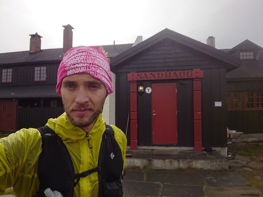
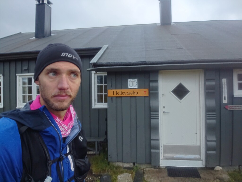
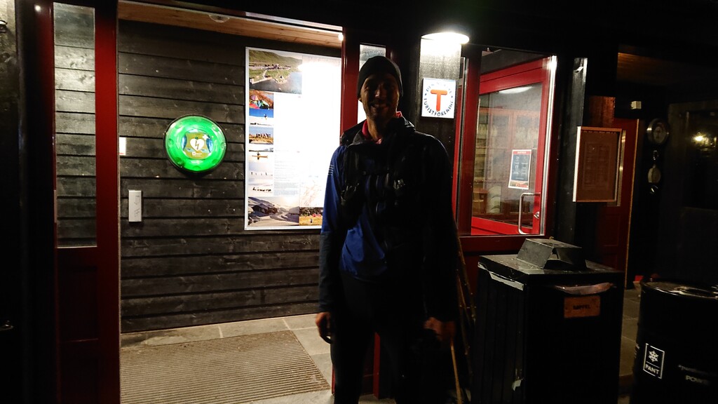
First section was a bit more technical than the other parts, the going wasn't too fast. That is probably a good thing in the beginning anyway. Going unsupported the backpack was a bit heavy (5kg+), full of food and winter clothing in case of an unexpected halt. Back and shoulders were definitely feeling that already around 30K in. From around km 25 to 65 the trails were very nice, uncharacteristically so for Norway. Weather in this first half of the day also turned out to be nicer than forecasted, although low temps and a persistent headwind made it pretty much impossible to enjoy the little sunshine that could break through the clouds. From around the half way point the terrain got gradually hillier and the weather deteriorated. Violent gusts of wind and nearly constant percipitation (rain and/or snow) slowed the pace down. Any stop lasting more than a couple minutes resulted in wild shivering and chattering teeth. Didn't enter any of the lodges in fear of not being motivated enough to leave once warmed up inside. Dispire the fact that I stopped more and longer than planned, almost 2 cumulative hours if one can trust strava on such matters. To noone's surprise hardest terrain and worst weather came together, around the 100K mark. Patches of snow but nothing significant. It got dark around 110K in, navigation in the last 10km was challenging. Final descent to the finish line was quite muddy and slippery. (Much) more than enough water thorughout. Many rivercrossings, but there were bridges at the trickier ones. Didn't meet too many people out in weather like this. Fell once just before darkness did, but luckily only superficial injuries. Overall, the legs did a fine job on the day they got but big chunks of time were definitely left on the trail as a result of the conditions and a lack of better planning.