

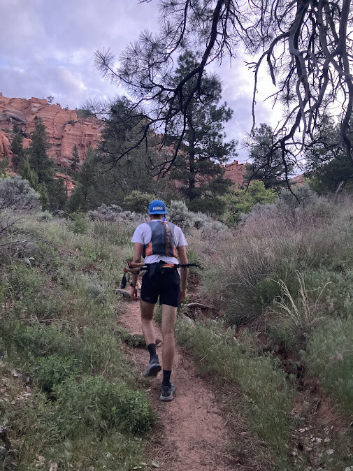

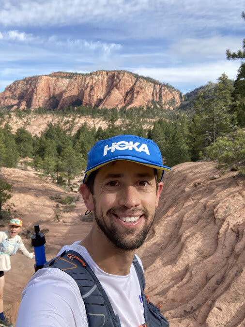




Leaving the kids at home in the competent and loving care of grandparents, we left home early on Saturday, April 25th, 2026 around 4:30am. We started at 4:57am at Lee Pass Trailhead, fully loaded with water, gels, chews, granola bars, peanut M&Ms, and even a couple not-yet-smashed PB&Js. It was a little chilly, but not too cold for running with light jackets. The trail begins with a nice downhill section for about 7 miles, occasionally crossing Timber Creek. Most crossings we were able to avoid getting our feet wet. We had originally planned to make a detour to Kolob Arch (which would’ve added about 1 mile), but instead decided to continue on and save that for another day.
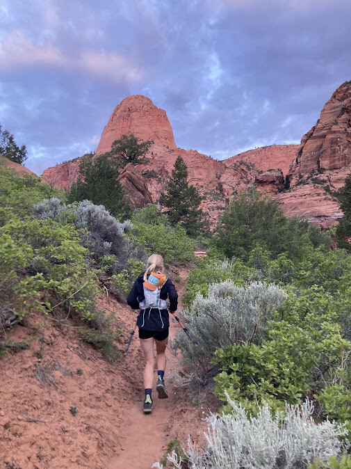
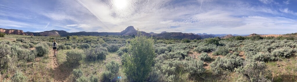
We topped off our bottles by filtering water from Beatty Spring at around 7 miles. It started to get lighter about as we turned south onto the Hop Valley Trail. The sunrise behind us was beautifully hitting the Kolob Canyon towers. We made our way through Hop Valley where the trail crosses over the river occasionally. Here we had to get our toes wet a little, but it wasn't too bad.
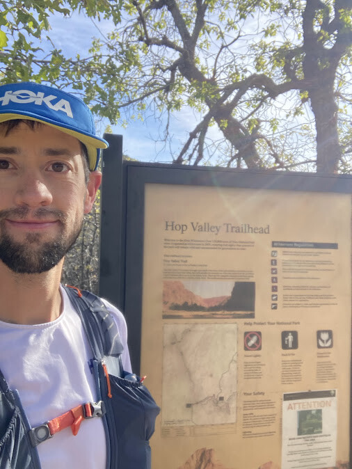
Just before making it to the Hop Valley trailhead, we passed some horse riders going the opposite direction. We stopped for a bathroom break at the Hop Valley trailhead and continued on the Connector Trail leading to Wildcat Canyon trail. This is where we got our first views of the main Zion canyon, seeing West Temple in the distance.
We almost made a wrong turn on the trail that leads to the Subway, but the crisis was averted and we continued onto the Wildcat Canyon Trail. Here we began to see some backpackers and day hikers. We filtered water again at Wildcat Spring (about 20 miles in).
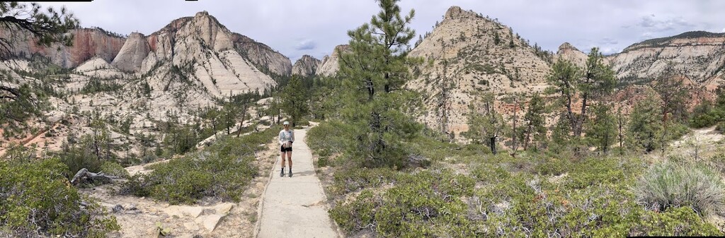
After climbing up to Lava Point, we turned south onto the West Rim Trail. This was a nice, flat and flowy 5 mile section of the trail where we were able to make up some time. Danielle’s watch died at this point, around 9 hours in, so only Nate’s watch recorded the whole route.
We dropped into Potato Hollow where we thought there would be water again, but we didn’t find any. We ended up rationing for the rest of the trip. From previous spring trip reports we were worried about mud, but we found the trail nice and dry. We had an unusually light winter this year.
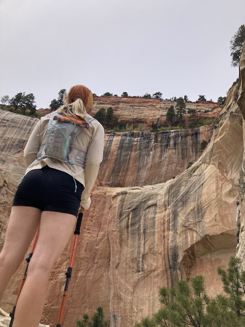
It was starting to get a little warmer, but there was some cloud cover and a nice breeze that kept the temperatures really nice. There were several varieties of wildflowers along the entire trail, including some prickly pear cactus flowers in full bloom lower down in the canyon.
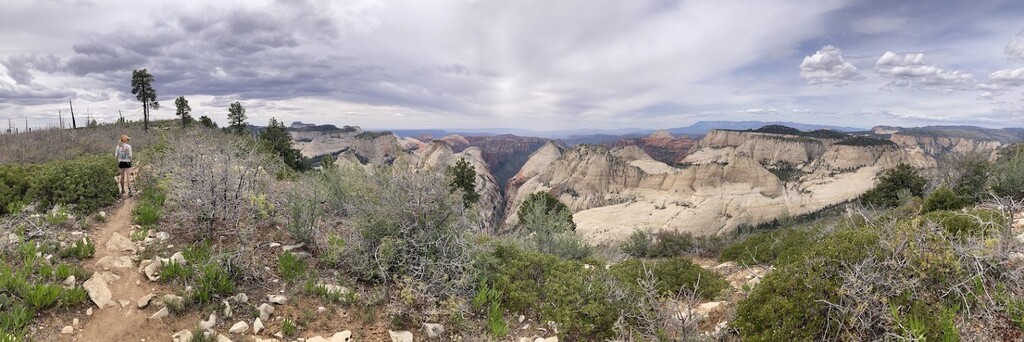
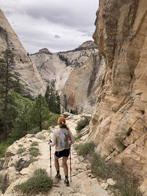
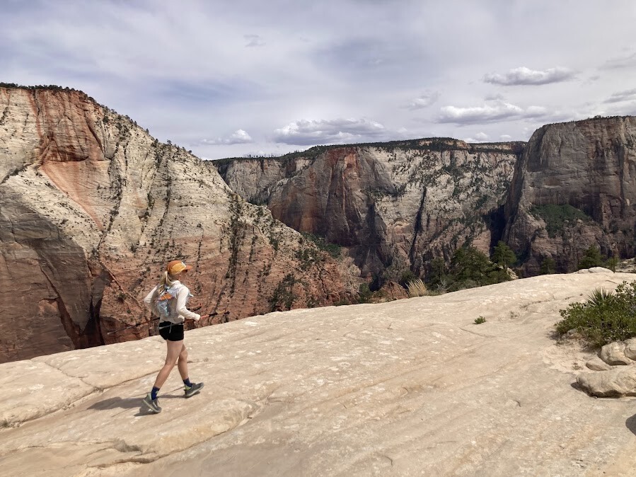
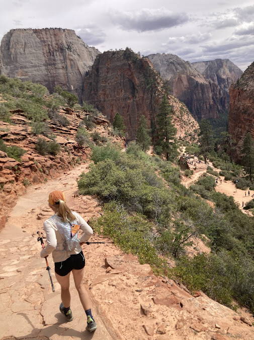
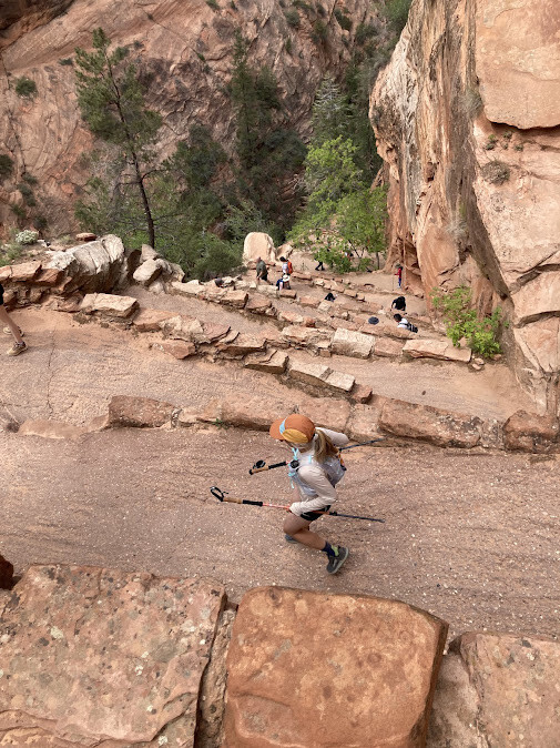
After climbing out of Potato Hollow, more views of Zion began to open up. It was spectacular. It was here we started to see a few more day hikers and backpackers. At about mile 32 we started the descent into the main canyon down a steep but beautiful white cliff. At this point we took it pretty slow since our legs were hurting pretty bad from all the downhill. However, when we got our first views of Angel’s Landing near Scout Lookout, we could smell the finish and started to pick up the pace despite our aching legs. We carefully weaved our way around lots of hikers down Walter’s Wiggles and the rest of the trail leading back to the Grotto. We took the shuttle back to the Visitors Center where we had dropped off a car the night before.
We estimated that the distance would take us about 13 hours, but we finished in just under 11. Overall it was an awesome adventure and a bucket list trail that we’ve had our sights on for a while. 10/10 would recommend!