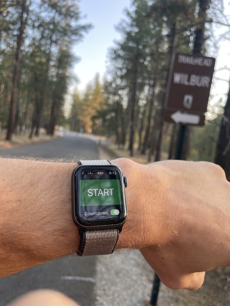
I started my loop of Trial 25 at the Wilbur TH and went CCW. The idea was the get the hillier north end with some techy sections out of the way early and be able to cruise later on.
I started just down from the parking roundabout where trail 25 crosses the centennial at 6:12am. It was a cool morning for late July and wished I had my gloves for the first two miles. By the time I was crossing the dry deep creek I was warm and moved into the hilliest bit of the loop.
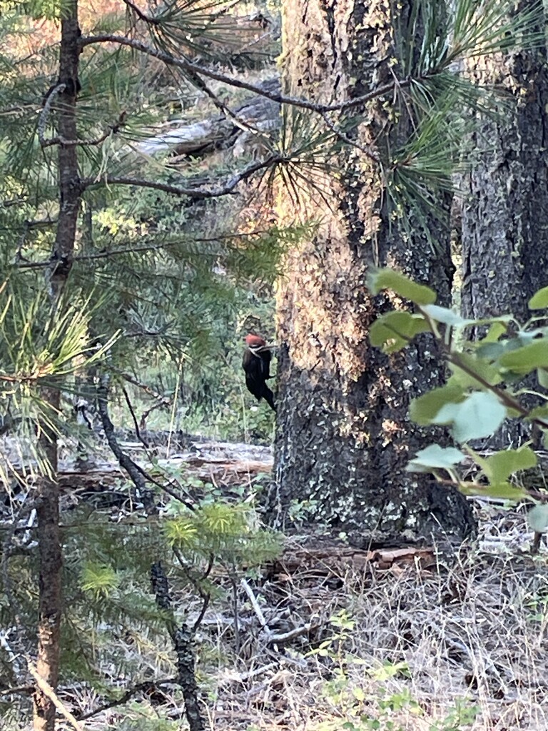
At the pine bluff lookout I was about a minute behind my planned pace (likely due to a stop for a woodpecker that kept hopping around the tree trunk it was clinging to as soon as I got close enough for a decent picture) and felt great.
I picked up the pace a bit once I navigated the rocky descent off the bluff and onto the open flatter section perched along the lip of the river valley. This section went by fairly quickly with only a few very short climbs before I was nearing the southern end and still that one minute off hopeful splits as I passed the Larch Grove.
Once I hit the downhill toward the equestrian zone, I started letting loose a bit and found I had a lot left in my legs to give. For the last handful of miles I picked it up more and more until for the last two along the river I was turning my legs faster than I have in a while.
I popped up the last incline onto the centennial right where I started, fumbled with the end workout buttons on my watch for a few seconds and I was finished. Maybe I dabbed, maybe I didn’t.
All in all it was a fun way to run through the Park I know well and experience it in a slightly different way
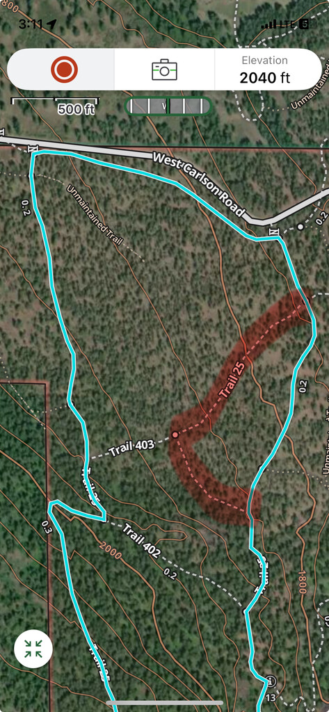
There is one section of the published GPX route that does not align with the trail markings in person. At the northern end of the loop, the route on the GPX (and previously in signage) took a sharp left up hill (now unmarked) on a single track and then hard right back down hill on double track (now marked trail 403). At the intersection with 403, it is clearly marked as trail 25 taking the wide tread trail across the slope for a more direct and obvious route. In my attempt I followed the GPX (as the first intersection the direction I traveled was unmarked) , but future runners should likely follow current trail markings.
(In the attached picture the teal line is the correct and currently signed route on the ground. I took the old route—lined in red—and as you can see the trail on Gaia gps is still shown as trail 25.)