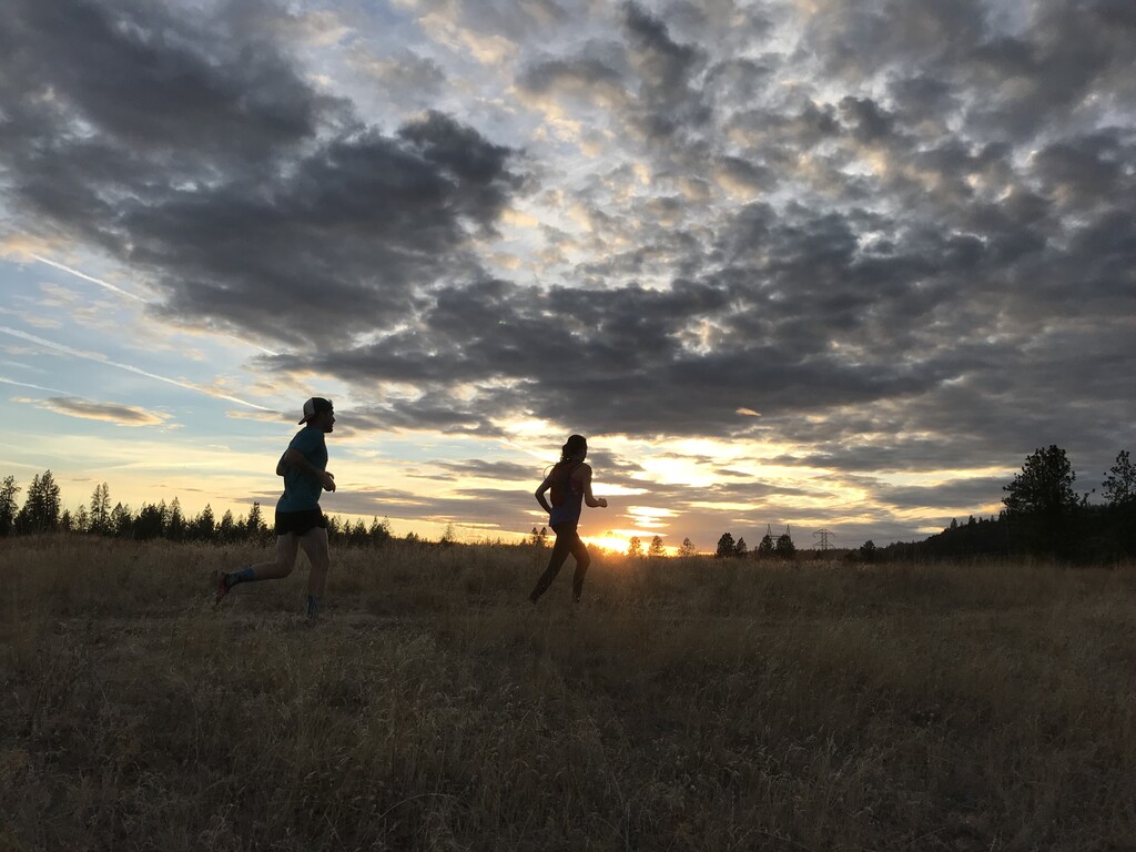
Riverside State Park stretches along the Spokane River just across from the city. It is ever popular with all types of users for its dense web of trails and easy access. While a portion of these trails are named and signed, only one loops (nearly) the entire park. While not full of destination views, Trail 25 is a clear benchmark for any Inland Northwest trail runner--especially if you like your routes flat and fast.
Trail 25 was named for its length when it was initially conceived, but has evolved over time--now avoiding the ORV and equestrian areas--to its current 19 mile length.
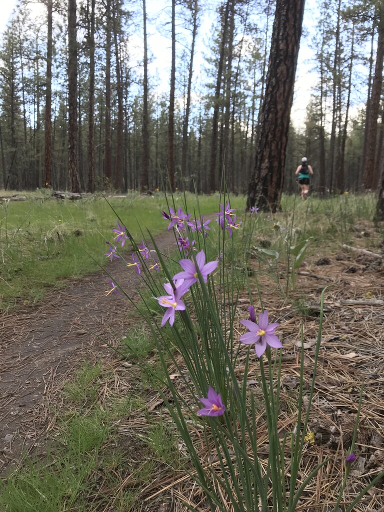
It travels through Okanagan Dry Forest along the Spokane riverbank, and back along the bluffs above to the West. It is a mix of single and double track, mostly quite smooth in tread with a few technical basalt strewn sections near Bowl and Pitcher and Pine Bluff.
It is worth noting that during the spring months the Spokane river can flood a few sections of the trail and Deep creek can get high enough to make crossing difficult at the north end of the trail.
Notes on the route:
- In the last few years the trail has been changed to skirt along the west edge of the equestrian area (South end of the park) rather than through the middle. This is reflected in signage and on the Riverside State Park Foundation paper map. When traveling CW the sign for the RH turn after Bowl and Pitcher is a bit tucked away and easy to miss. Also, some digital maps will still show the old route, so check be aware.
- The signage around the 7 mile airstrip between the 7 Mile TH and McLellan TH is a bit ambiguous. Most common route between these Trailheads is a single track to the East of the Airstrip, but this is not Trail 25. GPX supplied aligns with the historical route skirting the Airstrip to the West on double track. This aligns with digital maps as well as the RSP foundation paper map. Be aware there is an intersection at the south end of the airstrip that is unmarked.
As it is a loop, the trail can be run in either direction and from any of a handful of Trailheads along its length. While there are a few pit toilets along the route, there is no potable water without a decent detour off route.
https://www.alltrails.com/trail/us/washington/trail-25