Pine Spring trailhead to Bush Mountain: 5h 38m The total time was 9h 18m from Pine Spring trailhead to Guadalupe Mountain, Shumard, Bartlett, Bush, Hunter, and back to the Pine Spring trailhead
The Four Highest Peaks in Texas
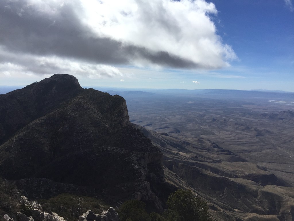
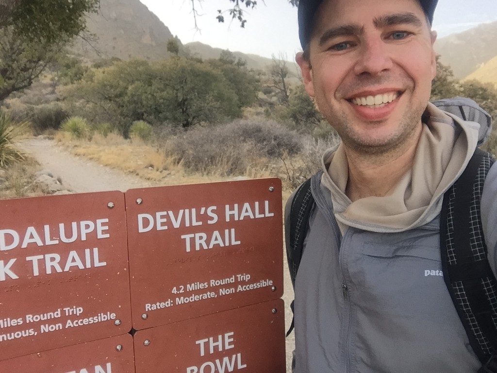
The Four Highest is a well-known but rarely-hiked route connecting the four highest peaks in Texas: Guadalupe, Shumard, Bartlett, and Bush. It’s a very strenuous, off-trail route following a cliff face that towers 4,000 feet above the desert floor. I followed Vgeh’s route and added Hunter Peak - it’s just two additional on-trail miles and has spectacular views of Guadalupe Mountain, Pine Canyon and the desert to the east.
Section Tread Mi Ascend Descend
Guadalupe Trail 4.0 3,300 0
Shumard Off-Tr 1.5 800 880
Bartlett Off-Tr 1.3 720 790
Bush Off-Tr 1.0 700 580
Hunter Trail 3.8 1,200 1,400
Pine Spring TH Trail 4.7 0 3,000
The total route is 16 miles, with 7,400 ft of gain, and 7,400 ft of loss.
I left the trailhead at 7:50 on Feb 16, right at sunrise. The area was under a wind advisory, and even though it was supposed to hit 70 degrees, even in full sun I usually wore a hood, windshirt, and even gloves. Winds hit 65 mph at Pine Spring ranger station, and were probably 10-20 mph higher along the ridges. Throughout the day there were several times the wind knocked me off balance, and one time it blew the shirt up off my back before it caught on my hands and neck. I started with about 4.5L of water and finished with about 1L left.
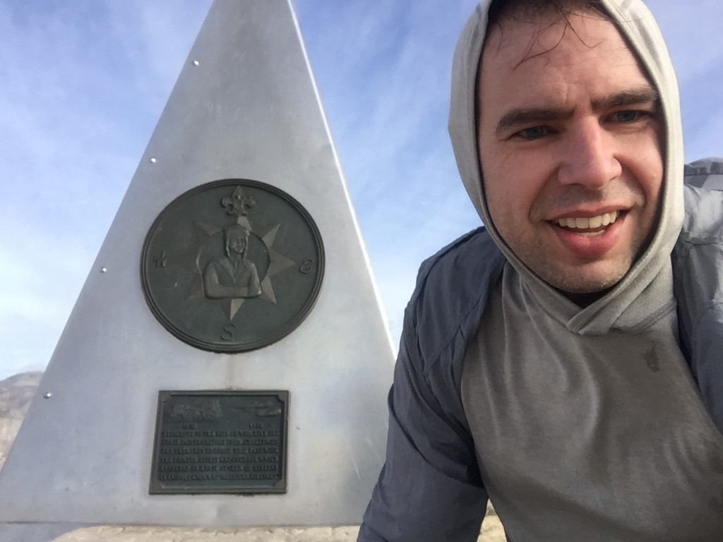
I made it to the top of Guadalupe by about 9:40, grabbed a drink and ate some pretzels before dropping down the north the side. Not far below the summit is a class 3-4 down climb of a 10 ft cliff. Instead of looking for an easier scramble, I dropped my pack to the bottom so I could focus on the climb. But the pack didn’t land at the base and stop, it kept rolling down the side of the mountain. I wasn’t sure if it would ever stop! It finally caught on pine tree deadfall about 50 ft from the cliff.
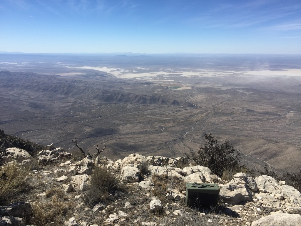
It was interesting to read the log book at the top of Shumard. Only 12 groups had been there since I was there a year ago. The wind started howling, blowing clouds from below up the side of the cliff and over me.
Some of the thickest brush on this trip is between Shumard and Bartlett, there’s no game trails, it’s a beating. Climbing up Bartlett has a few class 2 scrambles, but the flaky rock and interspersed cactus add some extra challenge.
Going down Bartlett is steep and thick brush with one minor scramble, and the climb up Bush is the easiest of the three off-trail climbs.
I took another 15 minute break at the top of Bush to eat, drink, change my socks, and take off my gaiters. The rest of the trip would be on-trail. Hiking on the trail felt fast. It was such a nice change to not be fighting gravity or brush, and I flew down the 3 mile trail to the Tejas Trail. It was only a mile to Hunter, but it felt like it never came. Going up hill felt slow and I could tell my brain was getting tired - simple time and distance calculations were too hard to do. From Hunter, the last 4.7 miles is all down hill. I passed a group of three men backpacking up the Tejas trail, these were the only people I saw all day. I made it back to the trailhead at at 5:10.
Pine Spring trailhead to Bush Mountain: 5h 38m
Pine Spring trailhead to Hunter Mountain: 7h 29m
The total time was 9h 18m from Pine Spring trailhead to Guadalupe Mountain, Shumard, Bartlett, Bush, Hunter, and back to the Pine Spring trailhead. My watch recorded 14.2 miles but was on 60 seconds between reads which caused the distance to be a bit shorter than actual (most notably on trails which had a lot of switchbacks).
Other resources:
Texas Parks and Wildlife Magazine article describing the route: https://tpwmagazine.com/archive/2015/aug/ed_1_peaks/index.phtml
jarrodbyrd’s report here: http://www.bigbendchat.com/portal/forum/gumo-general-discussion/the-4-highest-peaks-in-texas/
Vgeh describes his trip here: http://www.bigbendchat.com/portal/forum/gumo-general-discussion/texas-national-parks-trip-report-23-30-dec-2017-part-1/
Two friends and I did this route backwards in 2017: http://www.bigbendchat.com/portal/forum/gumo-general-discussion/guadalupe-ridge-high-route-with-'four-tallest'/
If you know of other trip reports please let me know and I’ll add them to this list.