Hole to Hump FKT – May 11, 2025
I completed Hole to Hump (H2H) on Sunday, May 11th — best Mother’s Day present ever! Massive kudos to all the runners who’ve completed this route before me and helped pave the way. It’s a stout journey: from the depths of the Grand Canyon to the highest point in Arizona — and every terrain in between.
Planning and Prep
I live in Flagstaff and committed to running H2H back in February, once it was clear we were having a low-snow year. I chose May 11 for a few reasons:
- Avoid the heat of June
- Reduce risk of forest closures
- Long daylight hours (~14 hrs)
- A full moon for a morale boost at night
I scouted the Humphreys Trail on May 3, confirming I’d need poles and microspikes. Then Flagstaff did what it does — we got more snow from May 4–6. Thankfully, my husband Tim scouted it again on May 9 and gave the green light for a safe summit attempt.
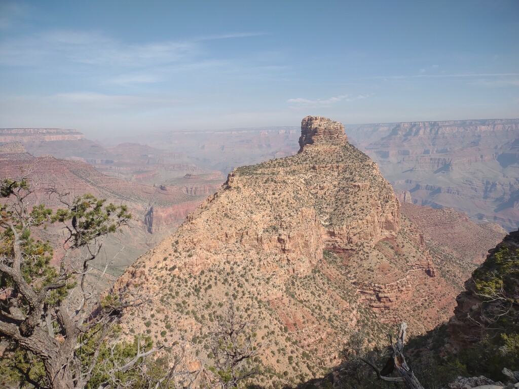
Descent and Ascent: New Hance
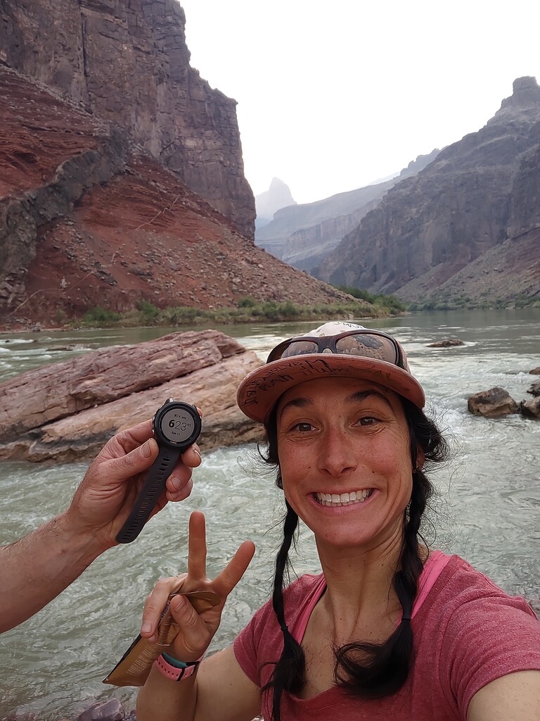
Tim and I began our descent down the New Hance Trail at 2:30 a.m. I wanted to maximize daylight for the rest of the route. We hit the river by 6:15 a.m., later than I’d hoped, refilled water, snapped a few starting photos, and I officially began the FKT attempt at 6:23 a.m. on 5/11. New Hance is a beast. Steep, rough, big step-ups, and very little that's runnable (aside from the sandy wash at the bottom). Some minor route-finding was needed, but I appreciated that the trail was shaded in the morning. I topped out at around 9:00 a.m., fueled up at the car, and began the westward trek on Hwy 64 toward the forest service roads — roughly following the route Marcy and previous runners have taken.
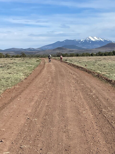
Across state and Ranch lands and Hwy 180
Tim met me at two tanks between Hwy 64 and Hwy 180. This entire middle section felt very runnable and was beautiful — from shady ponderosa forest into wide-open piñon-juniper forests with big skies. Unfortunately, I started having electrolyte and knee pain issues around mid-run. It definitely impacted my overall time - there was a moment where I thought I would need to stop, but with help from my crew and some salty troubleshooting, I was able to push through. Thank you Claire! Night fell as I descended into Kendrick Park, and I was so grateful to have completed the Highway 180 miles in daylight. I feel that this section is the most dangerous part of the run — a narrow shoulder and high-speed traffic make it a stressful stretch. Bright, reflective gear is a must here.
The Final Climb: Wind, Grit, and Gratitude
From Hwy 180, I followed the standard route with my friend Ally: FS Road 151, Pine Mountain Road to Snowbowl parking lot, and up Humphreys Trail. There I met up with my friend Katrina before the final push. The trail up to the saddle was pleasant and uneventful. I'd hoped the wind would die down at night — no such luck.
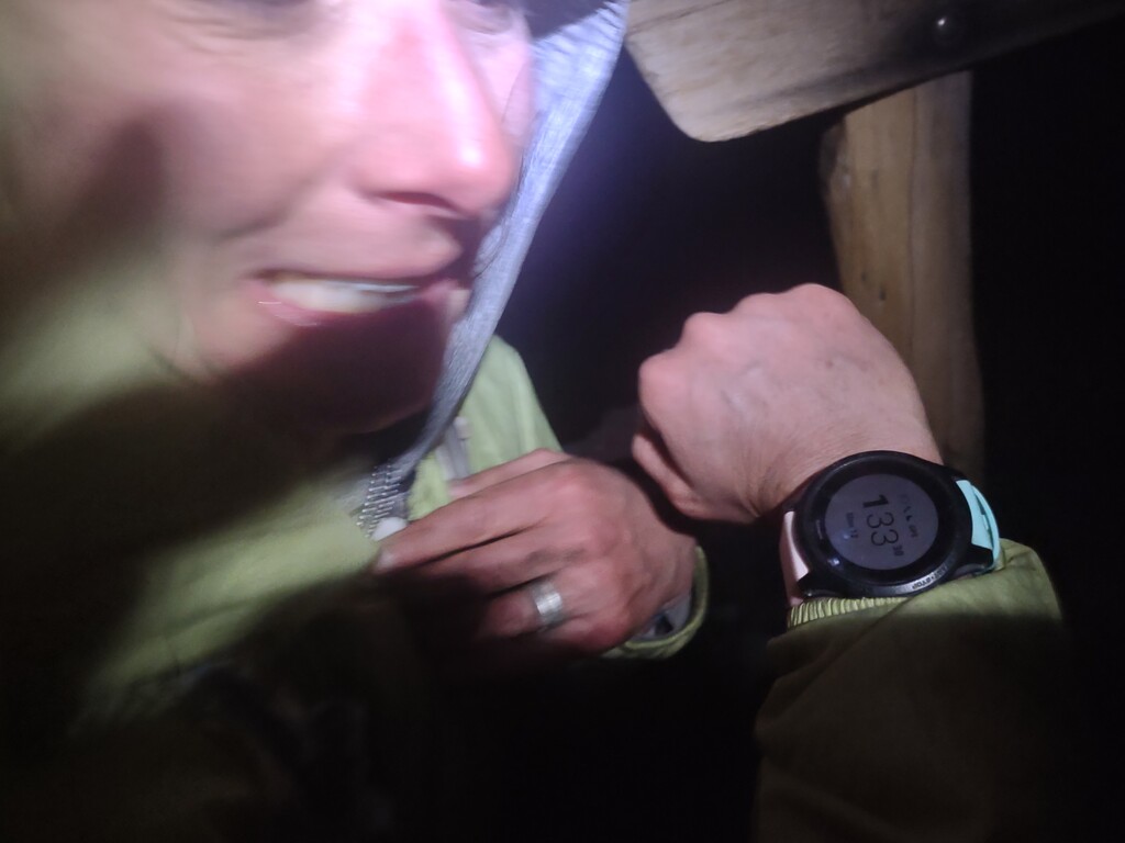
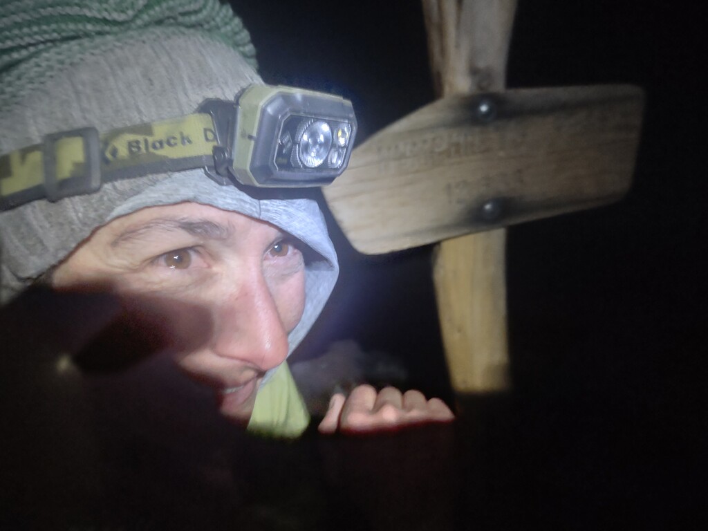
As so many before me have shared, the summit winds were extreme, relentless, and downright treacherous for the last exposed mile. We moved slowly, briefly on all fours to avoid being blown off-balance or losing gear. We finally made it to the summit at 1:33 a.m. on 5/12 with smiles!
Route Notes and Reflections
I explored alternate routes for the Humphreys ascent, but per Forest Service rules, no off-trail travel is allowed above treeline ($500 fine) — ruling out a north ridge approach. I also contacted Snowbowl about hiking the ski slopes, but they were very clear: no hiking or trespassing allowed on ski runs, regardless of season.
I am proud to have completed this. It has been on my list for years thanks to Jason Henry! But I truly believe this route can be done faster. To those who will try - the month of May felt like a great time — long days, manageable canyon heat, and minimal snow on Humphreys (though still enough to require poles and microspikes). I also, highly recommend a 2:30 a.m. canyon start — running down the canyon in the cool darkness and tackling road sections with daylight worked well.
I loosely followed David & Meaghan Roche’s SWAP 100-mile training plan, though I ran the lowest weekly mileage. In hindsight, I should have taken their single-leg step-up routine more seriously. Ha!
Permits
https://www.azgfd.com/wildlife-conservation/on-the-ground-conservation/…
https://azland.my.salesforce-sites.com/recreationalpermit/
Endless Gratitude
I couldn't have done this without Tim — for supporting me on the day and through all the training. Thank you to friends and family for your good thoughts and encouragement! Thank you to my friends who ran, hiked, and cheered alongside me: Claire + Christian, Molly, Ally, and Katrina — you made this fun, even in the grit.Mom — for encouraging these wild adventures and watching the kids.Dad — for instilling a lifelong love of running and the outdoors.