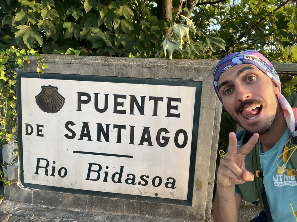
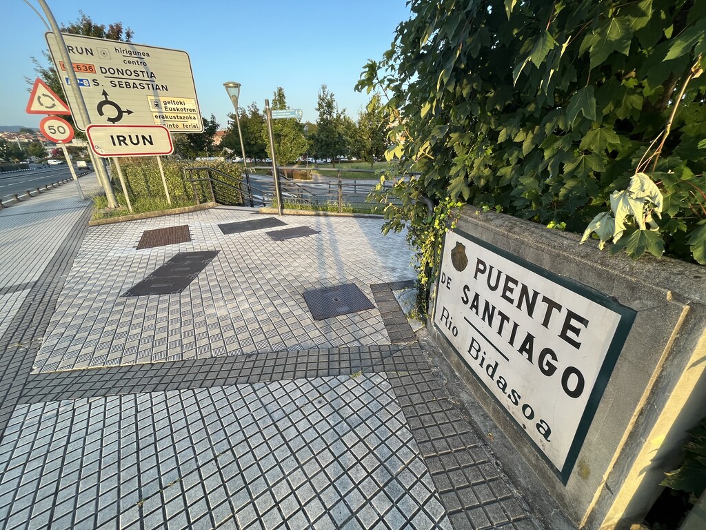
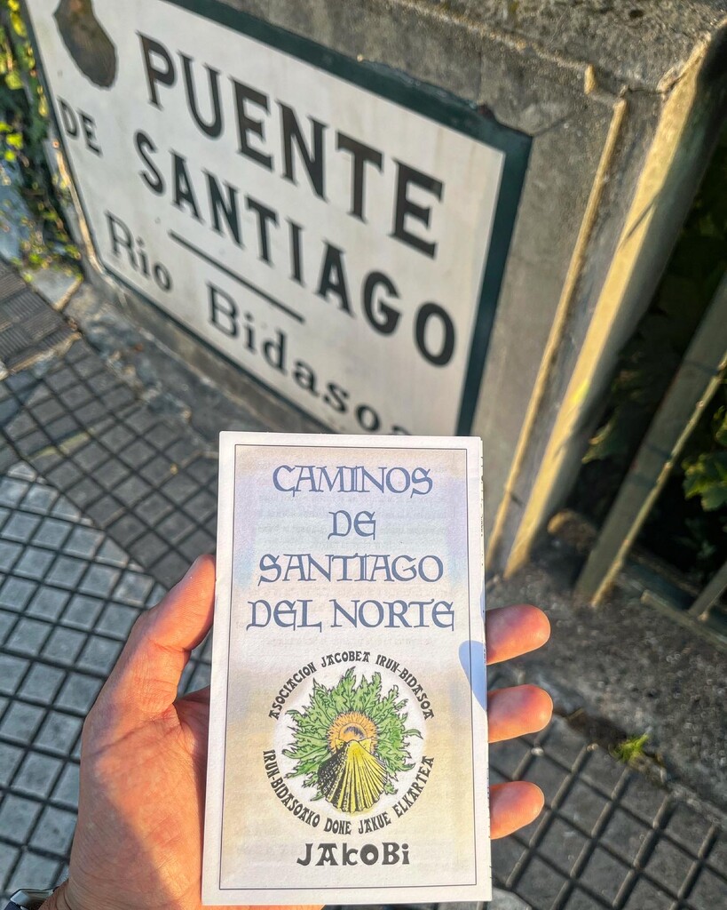
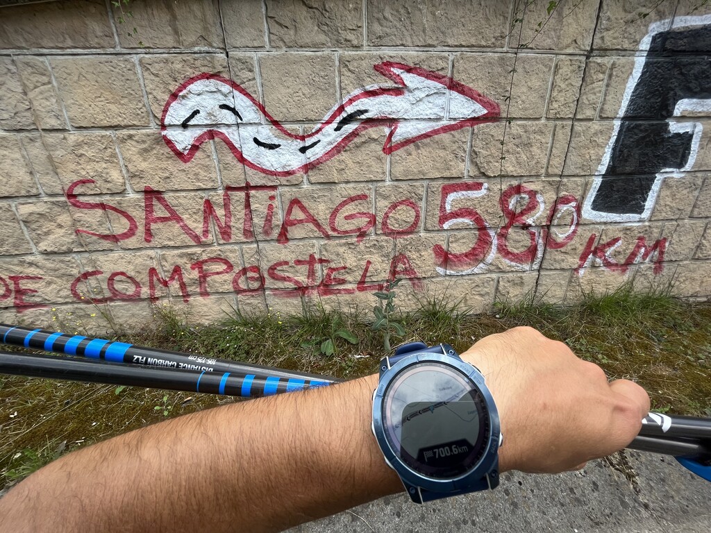
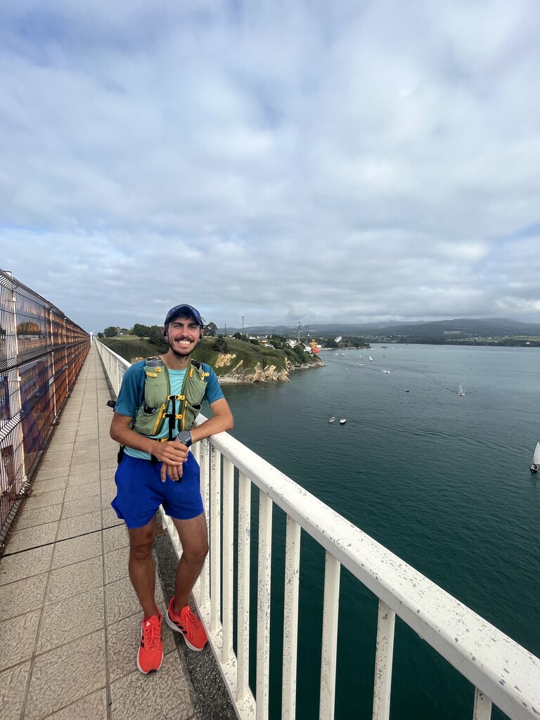
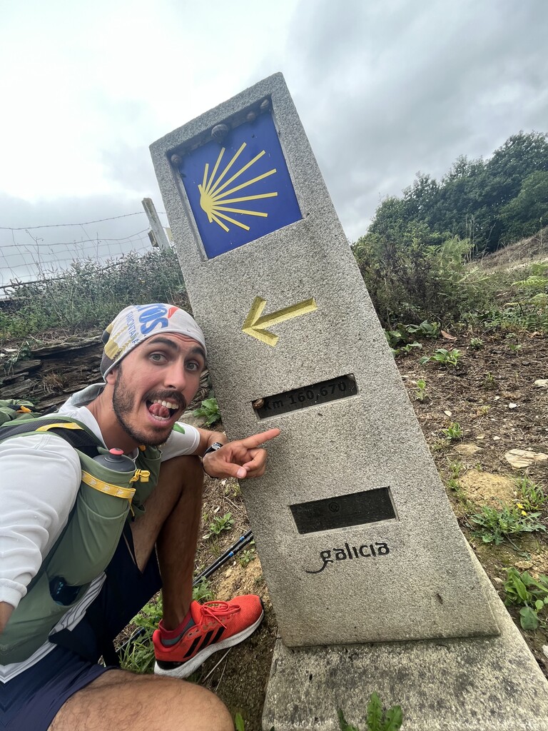

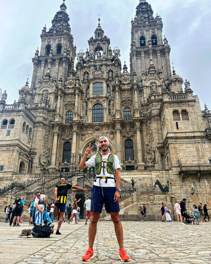
I started the Camino del Norte of the Camino de Santiago in Irún (its official start in the Santiago International Bridge) on August 10th at 7:44 AM and reached Santiago de Compostela (its official finish in the cathedral) on August 25th at 11:17 AM. Adding up to a total time of 15 days 3 hours 33 minutes. My total distance was 848.5 kms with 19,330 meters of elevation gain and 15,286 meters of elevation loss.
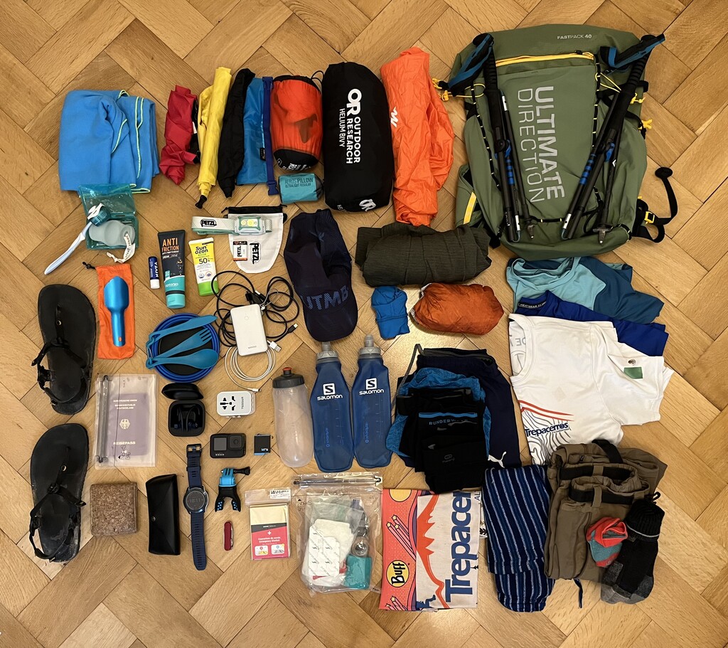
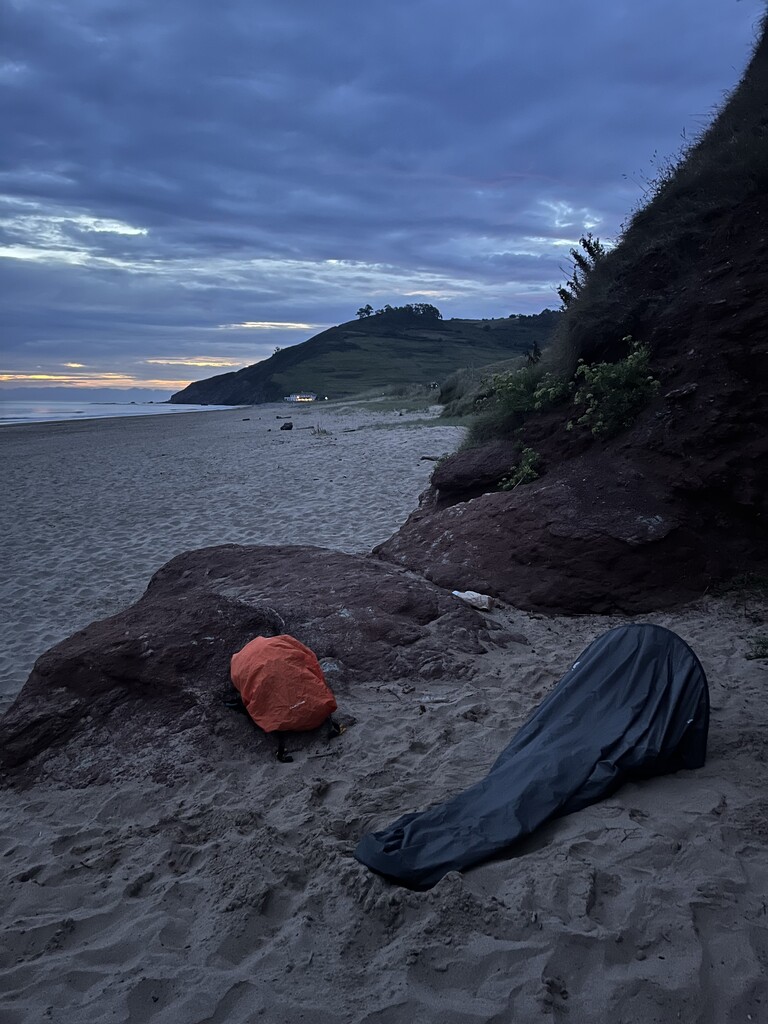
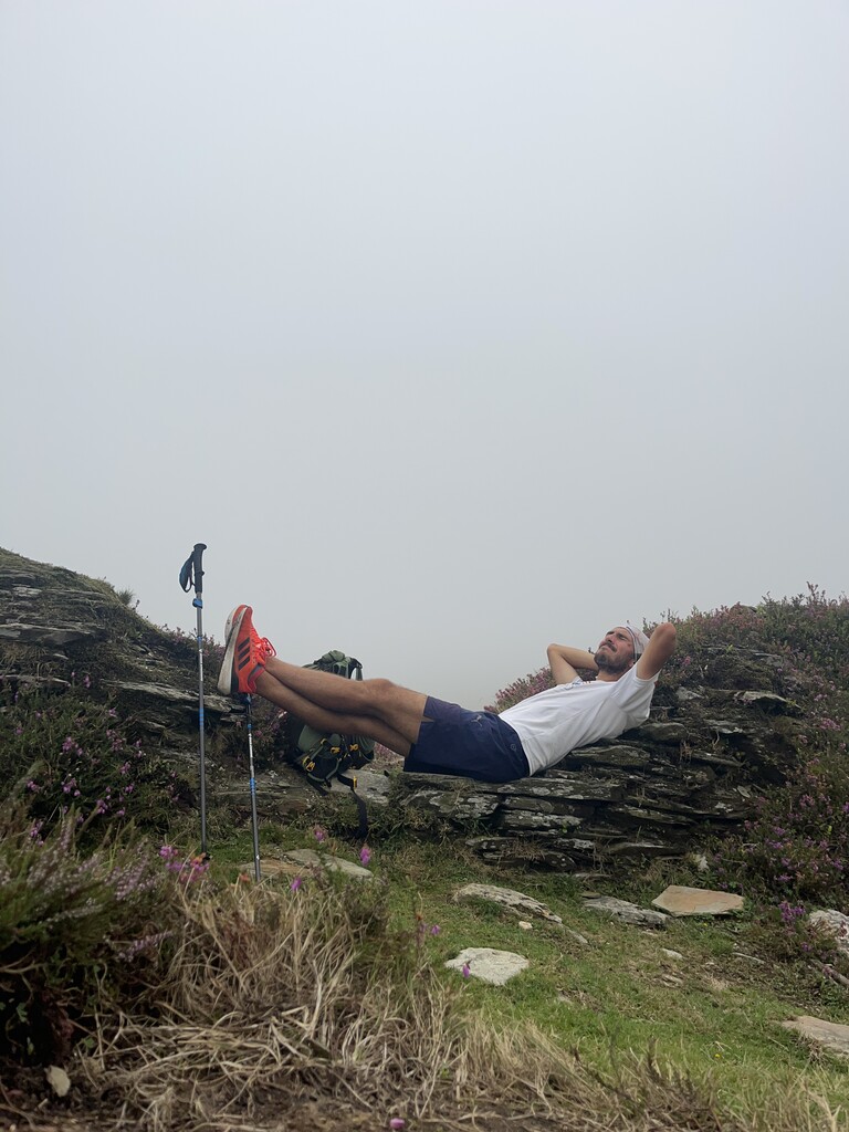
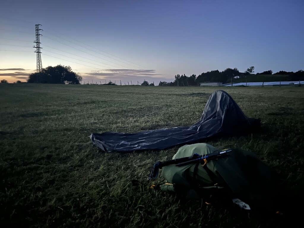
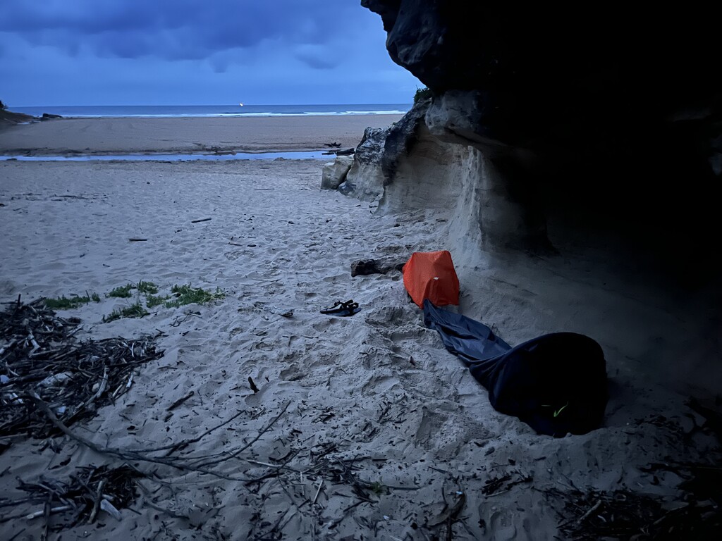
I ran the Camino completely by myself and self-supported. Some nights I wild camped while others I stayed in municipal “albergues” (hostels), due to logistics. I bought my food in supermarkets and restaurants along the way, but it was quite difficult due to the limited opening hours of the stores and the scarce vegetarian options in the restaurants. Fortunately, there were many municipal drinking fountains along the entire way.
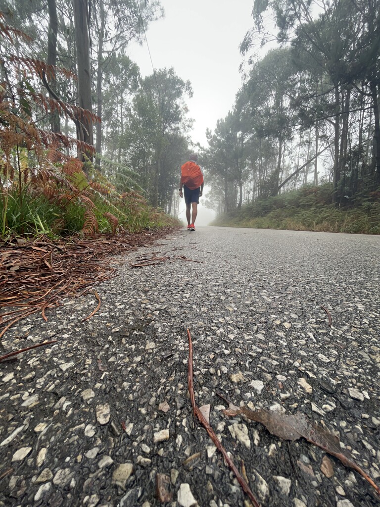
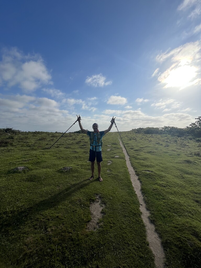
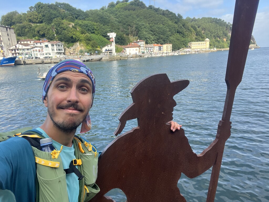
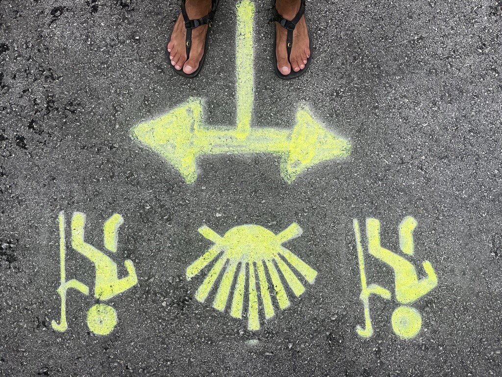
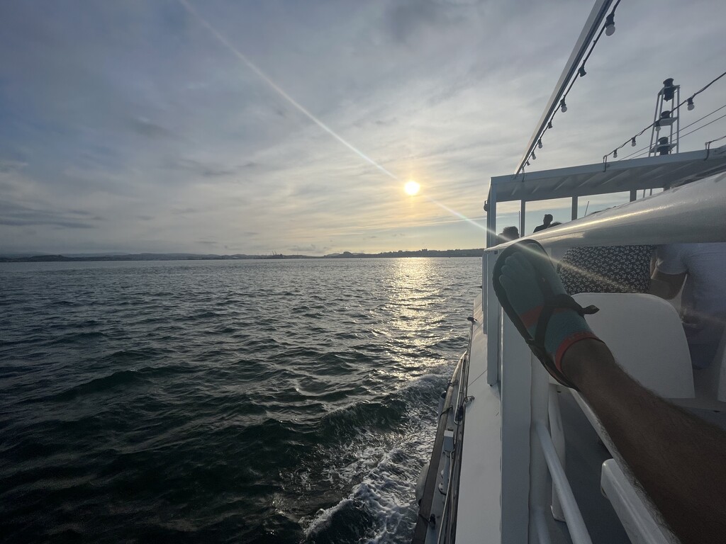
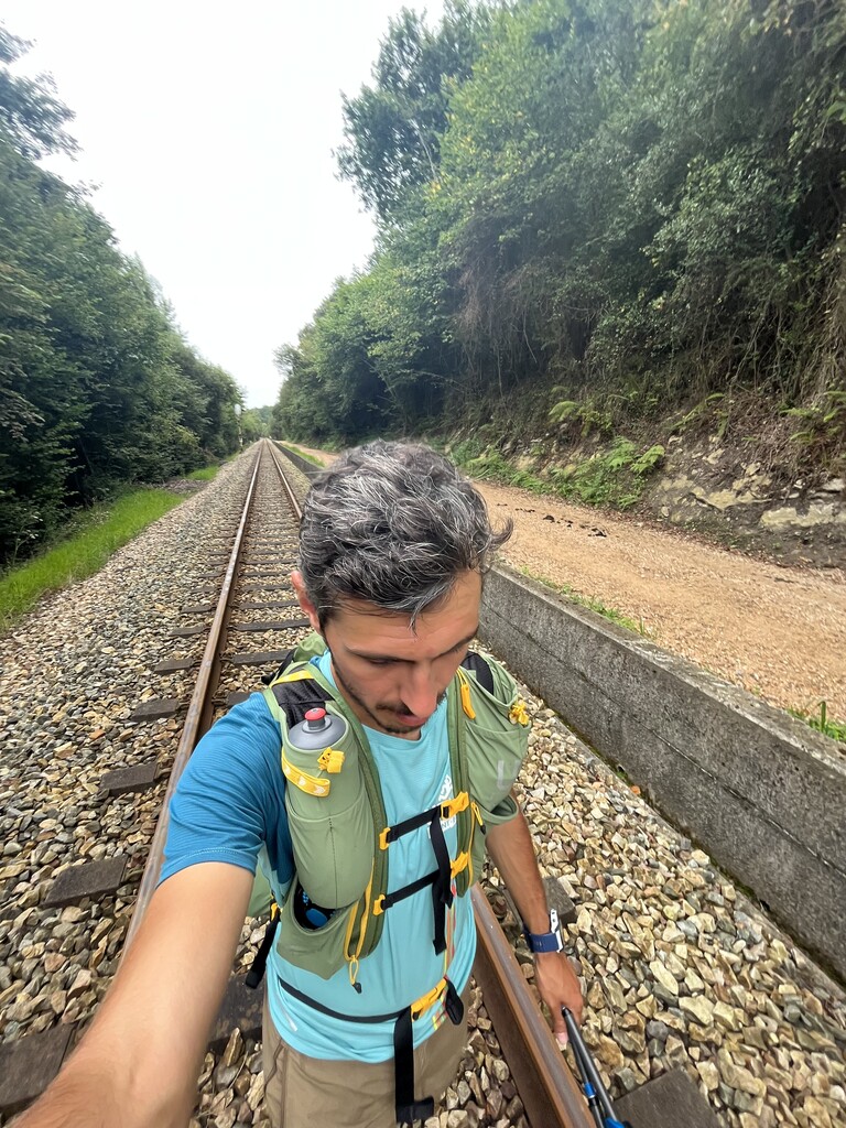
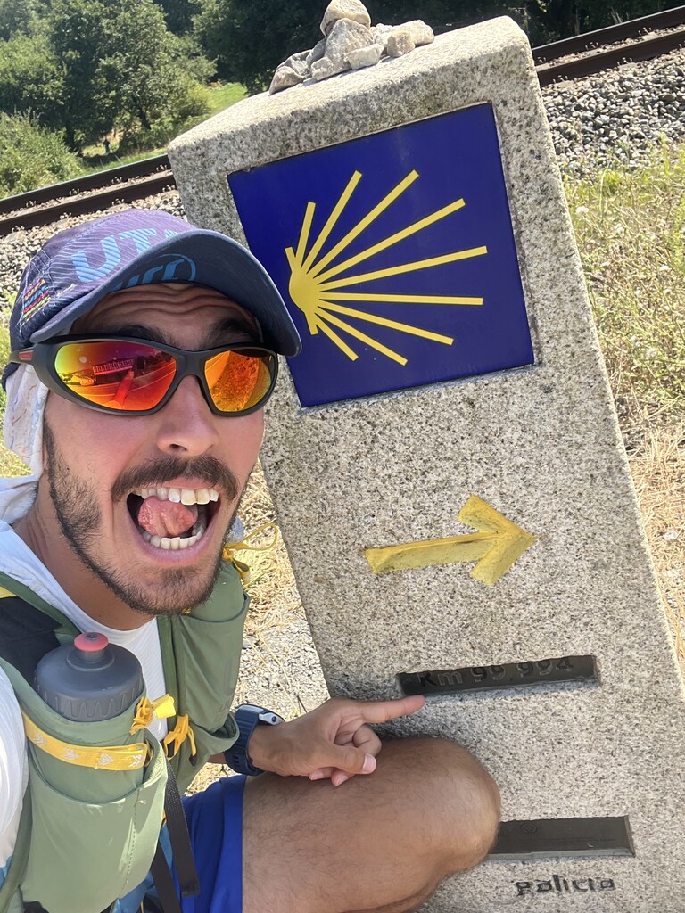
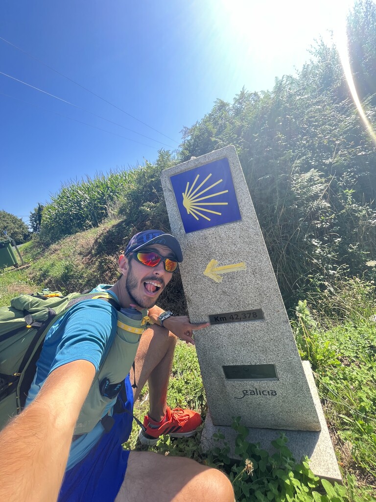
The Camino del Norte has approximately 69% of hard surface roads (either asphalt, concrete, solid stone, or gravel) and 31% of hiking trails (dirt roads and single-track trails). The path often splits with several alternatives along the route, where I followed the official route as strictly as possible. The official route also includes three ferry boat rides to cross the bays and ports in Pasaia, Laredo, and Santander.
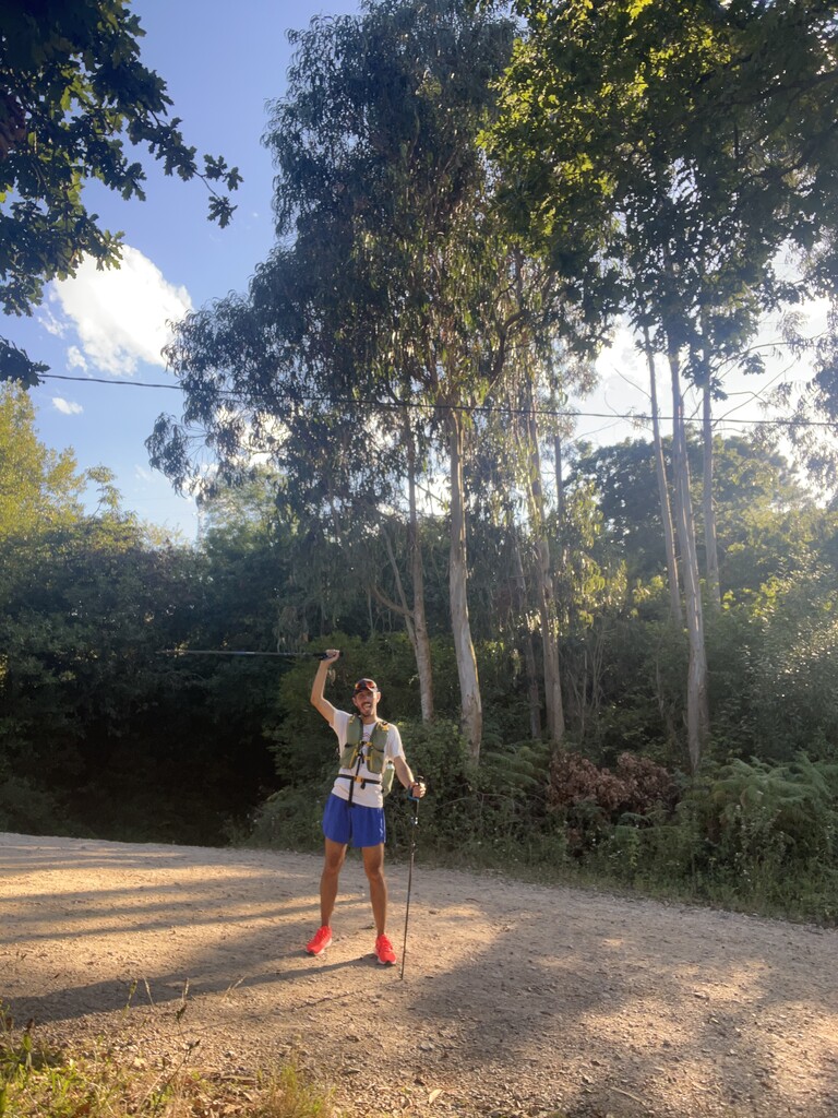
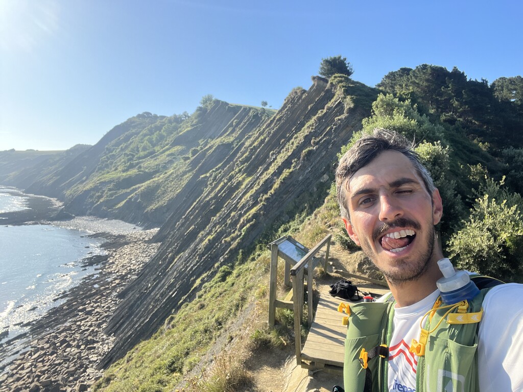
I ran the first half (~400kms) with the Middle Bear Winged Edition Luna Sandals, but due to the hard surface I had to switch to running shoes (Adidas Runfalcon 3.0). My complete gear (worn + backpack) weighted ~6.5 kgs (without water/food).
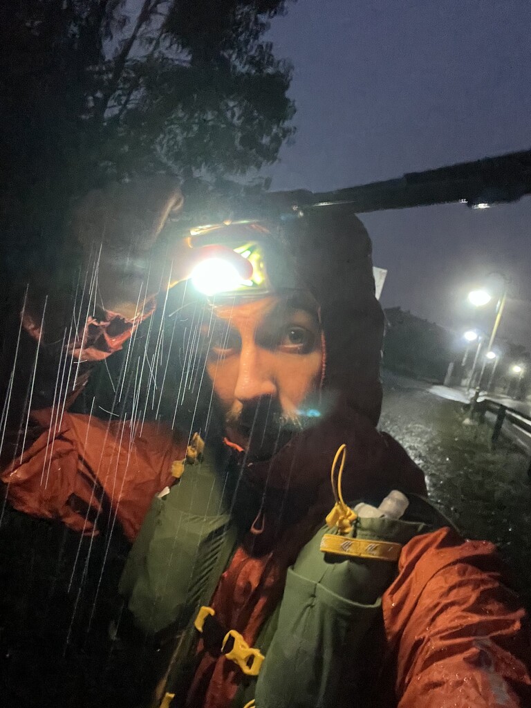
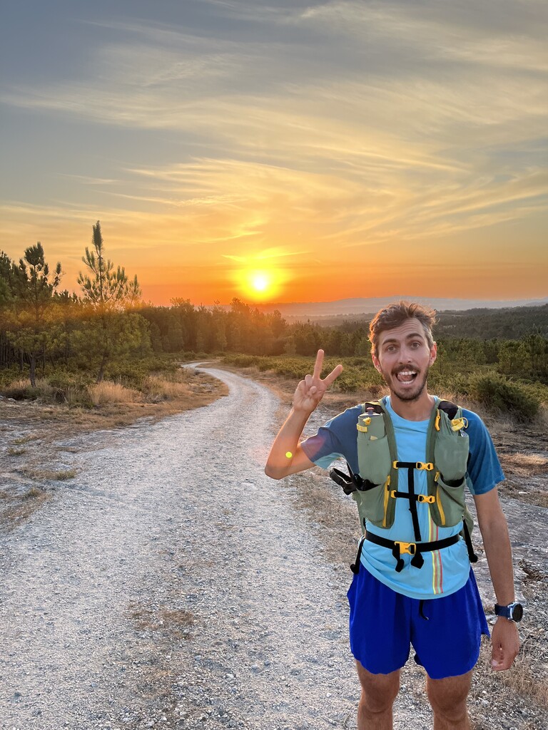
Every day the weather was unpredictable. Some few days were comfortable with an average of ~23 °C, clouds casting fresh shade, and mild wind. However, most days were either extremely hot (>30 °C, with one day even reaching 38 °C) or with persistent showers (for a couple of days in a row).
The Camino del Norte was quite lonely, encountering only a handful of pilgrims per day, with some long stretches being completely by myself.
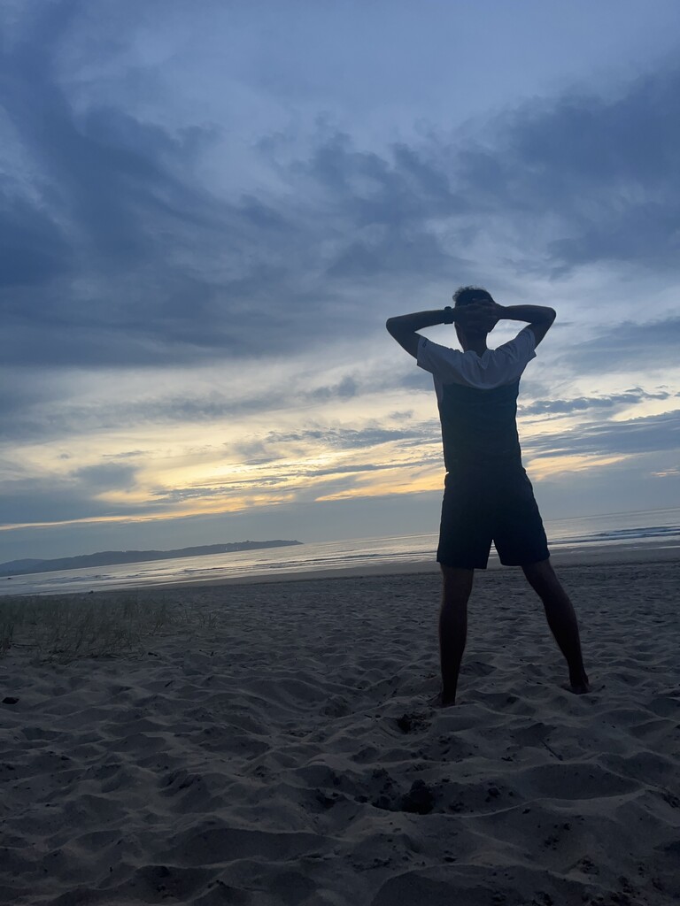
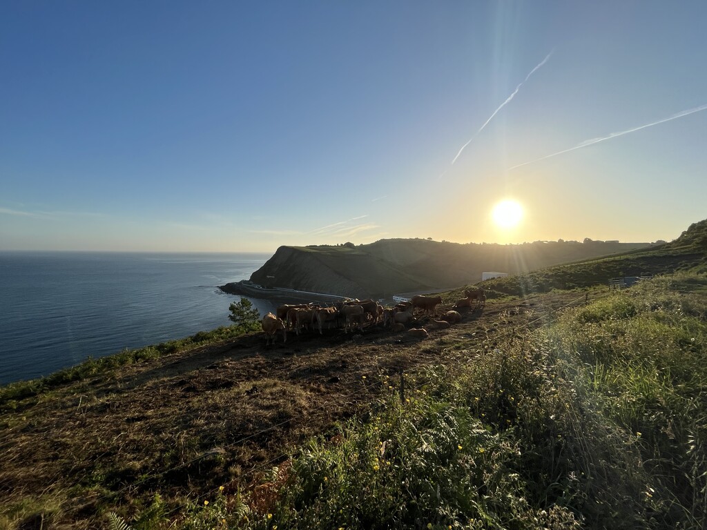
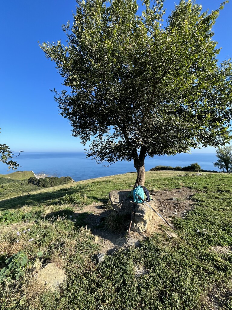
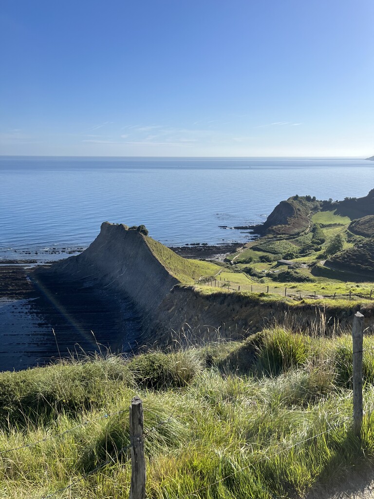
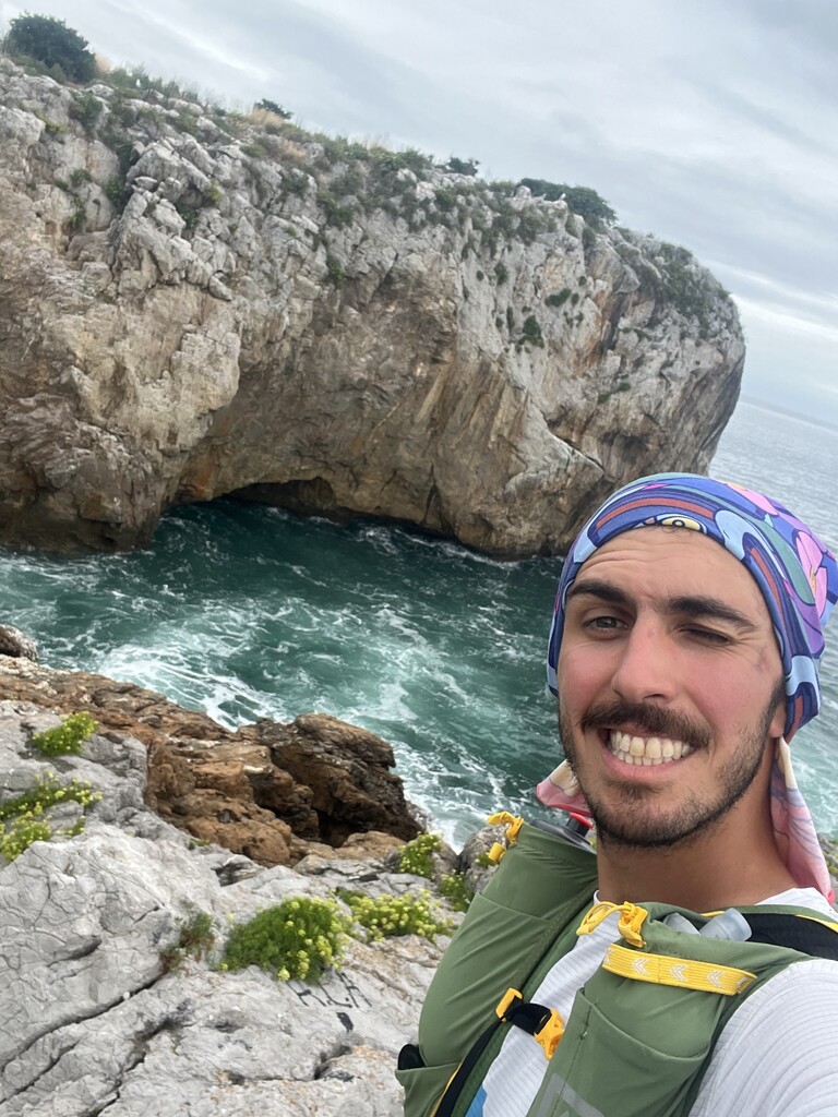
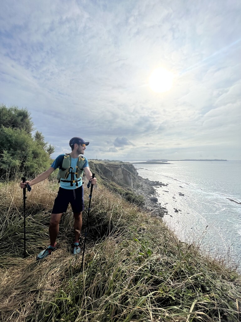
The trails along the coast were the most fun, with astonishing littoral views and peaceful pristine beaches.
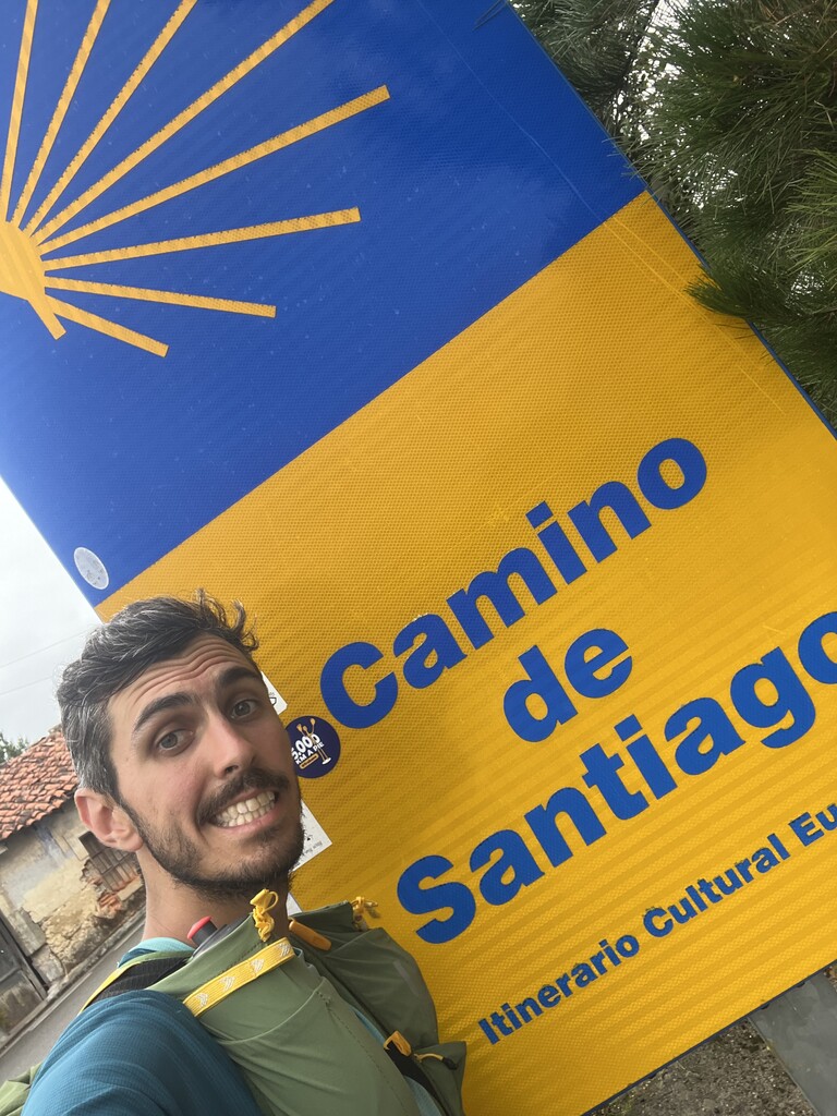
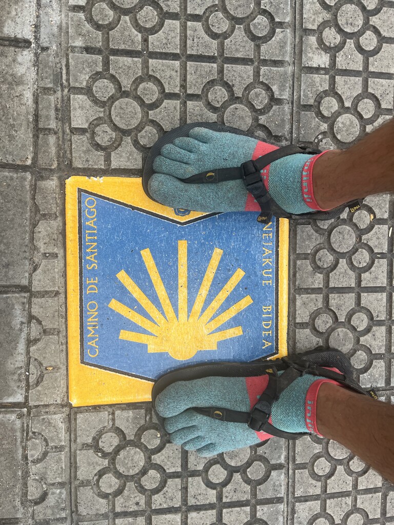
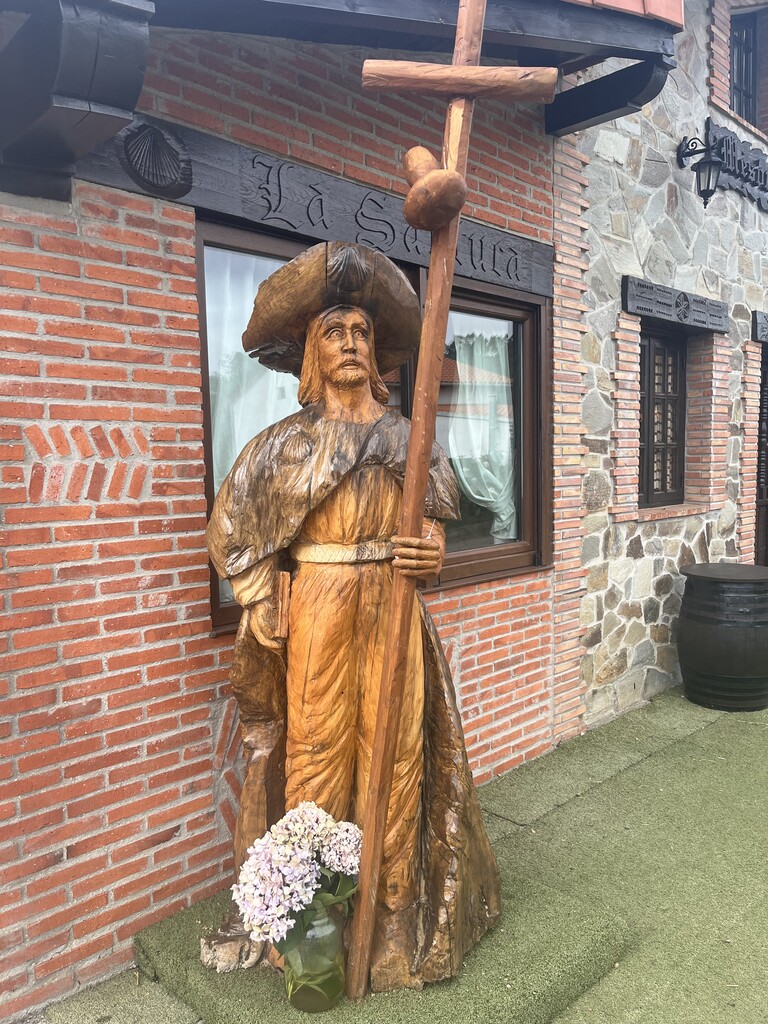
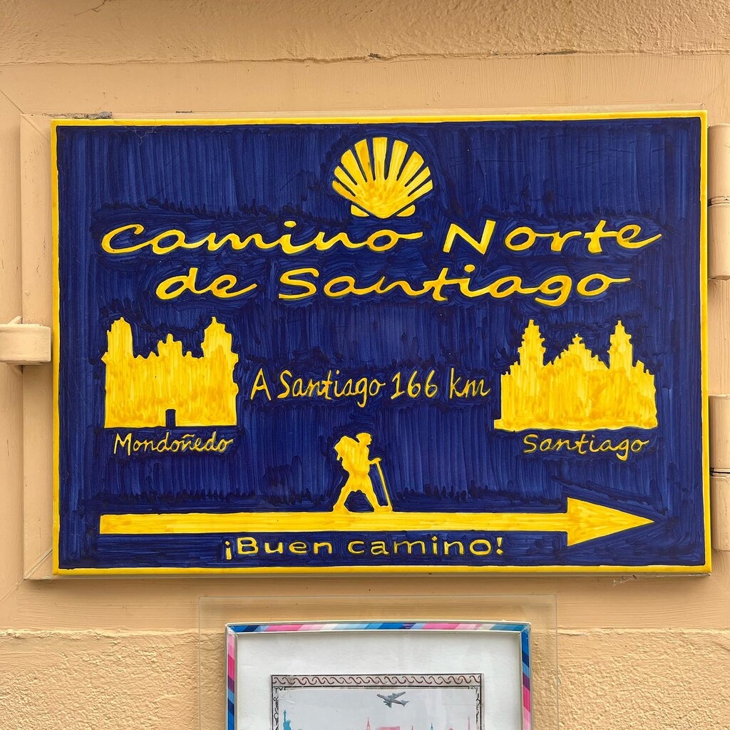
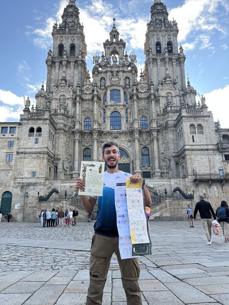
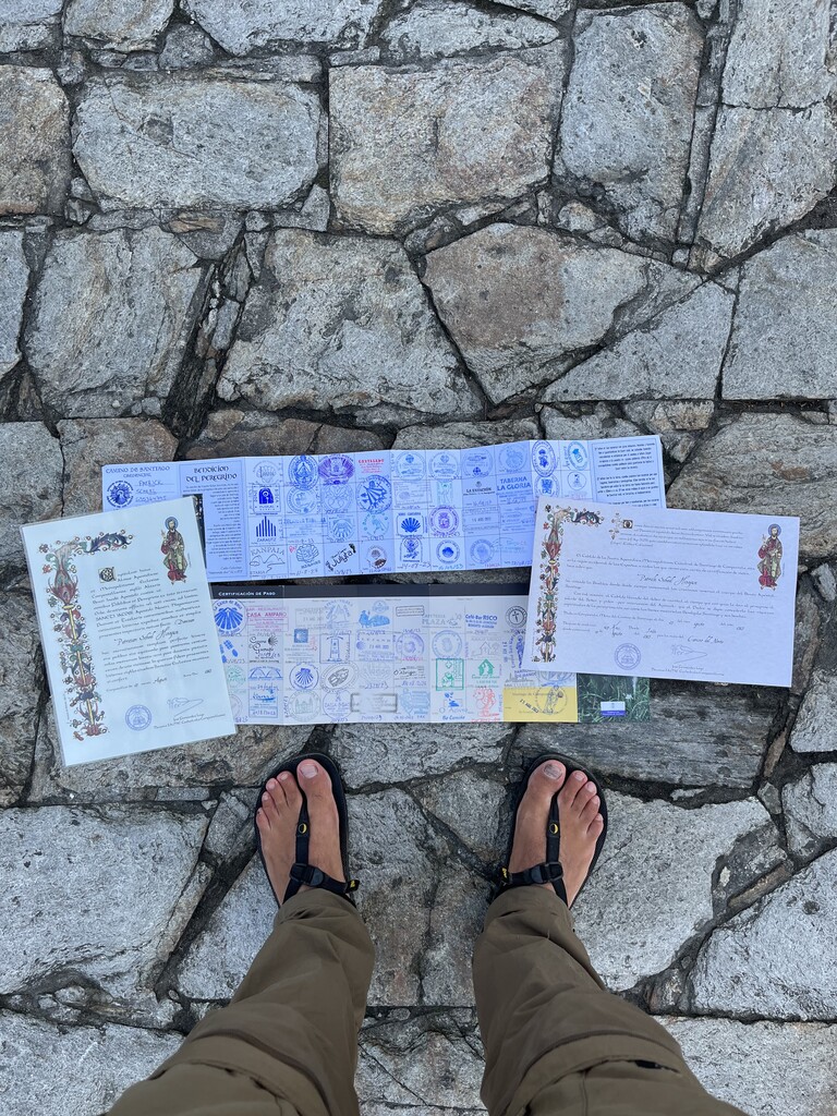
I crossed myriads of beautiful little villages, towns, and cities, ending up with 80 stamps in my Pilgrim’s Passport from the most emblematic places. Pilgrims can obtain stamps at tourist offices, local cafes/bakeries, churches/chapels, etc. However, considering that it was summer and that every day seems to be a holiday, it was very difficult to find things open throughout the day, as they would only open a few hours in the morning and even fewer hours in the afternoon.
Overall results: https://www.instagram.com/p/CwlOGsvI24q/?img_index=1
My daily progress was the following:
Day 1: From Irún to Getaria
Distance: 57.7 kms
Elevation gain: 1,849 mts
Percentage of Camino covered: ~6%
https://www.instagram.com/p/Cvxo-XtI2c0/?img_index=1
Day 2: From Getaria to Zenarruza
Distance: 51.38 kms
Elevation gain: 2,020 mts
Percentage of Camino covered: ~12%
https://www.instagram.com/p/Cv0VoG2oK6j/?img_index=1
Day 3: From Zenarruza to Bilbao/Barakaldo
Distance: 60.88 kms
Elevation gain: 1,818 mts
Percentage of Camino covered: ~20%
https://www.instagram.com/p/Cv4zEPLINuO/?img_index=1
Day 4: From Bilbao/Barakaldo to Lugarejos/Guriezo
Distance: 54.26 kms
Elevation gain: 1,028 mts
Percentage of Camino covered: ~27%
https://www.instagram.com/p/Cv9l_RyoFg6/?img_index=1
Day 5: From Lugarejos/Guriezo to Somo/Santander
Distance: 57.72 kms
Elevation gain: 839 mts
Percentage of Camino covered: ~34%
https://www.instagram.com/p/CwABTTyIp-t/?img_index=1
Day 6: From Somo/Santander to Cóbreces
Distance: 53.81 kms
Elevation gain: 926 mts
Percentage of Camino covered: ~40%
https://www.instagram.com/p/CwDHNJYIgYH/?img_index=1
Day 7: From Cóbreces to Vidiago
Distance: 51.18 kms
Elevation gain: 1,120 mts
Percentage of Camino covered: ~46%
https://www.instagram.com/p/CwF8cHNI16j/?img_index=1
Day 8: From Vidiago to Vega
Distance: 52.8 kms
Elevation gain: 946 mts
Percentage of Camino covered: ~52%
https://www.instagram.com/p/CwKHFkBoWjj/?img_index=1
Day 9: From Vega to Carbonera/Gijón
Distance: 52.9 kms
Elevation gain: 1,410 mts
Percentage of Camino covered: ~58%
https://www.instagram.com/p/CwMtRLWI8f5/?img_index=1
Day 10: From Carbonera/Gijón to Ranón/Soto del Barco
Distance: 51.71 kms
Elevation gain: 713 mts
Percentage of Camino covered: ~64%
https://www.instagram.com/p/CwPQ5NeINyP/?img_index=1
Day 11: From Ranón/Soto del Barco to Barcia/La Almuña
Distance: 55.55 kms
Elevation gain: 1,663 mts
Percentage of Camino covered: ~71%
https://www.instagram.com/p/CwQr40doZTs/?img_index=1
Day 12: From Barcia/La Almuña to Ribadeo
Distance: 56.53 kms
Elevation gain: 911 mts
Percentage of Camino covered: ~77%
https://www.instagram.com/p/CwSVlfkIsjX/?img_index=1
Day 13: From Ribadeo to Abadín
Distance: 50.42 kms
Elevation gain: 1,791 mts
Percentage of Camino covered: ~83%
https://www.instagram.com/p/CwULeF_I42y/?img_index=1
Day 14: From Abadín to La Laguna
Distance: 52.66 kms
Elevation gain: 763 mts
Percentage of Camino covered: ~89%
https://www.instagram.com/p/CwVqFJ8IIY1/?img_index=1
Day 15: From La Laguna to Arzúa
Distance: 50.05 kms
Elevation gain: 814 mts
Percentage of Camino covered: ~95%
https://www.instagram.com/p/CwWhkV7om_o/?img_index=1
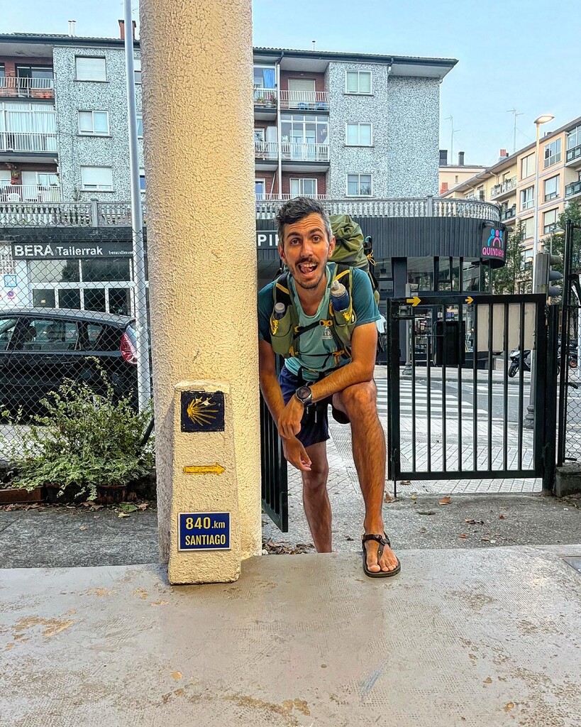
Day 15 + 3.5 hours: From Arzúa to Santiago de Compostela
Distance: 38.91 kms
Elevation gain: 709 mts
Percentage of Camino covered: 100%