I did this in September of 2019. I was 52 years old at the time. I tracked my route with Garmin Decent MK1, and also Garmin InReach Mini that put dots on a LIVE map every 10 min that my friends logged into, and watched during my trip. I did it the way I think is natural or "clean", swimming all 11 openings (at the time, now 12 with WT great pond open). There are many stories about other people who did it, but none that I know which were documented. One story in the VG magazine years ago about someone who did it, but they "skipped" Chappy, and borrowed a canoe to cross at least one opening. I have asked around, and I believe I was the first one to do it non stop, swimming all the openings.
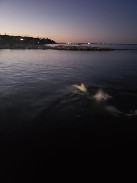
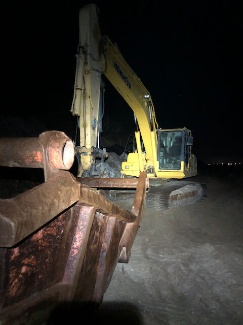
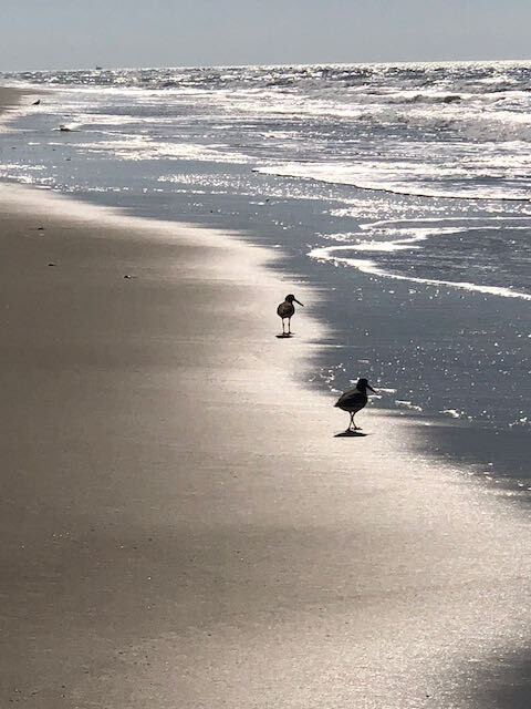
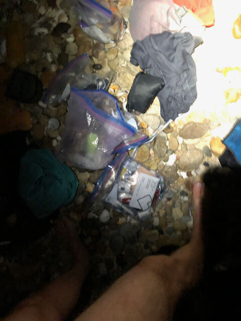
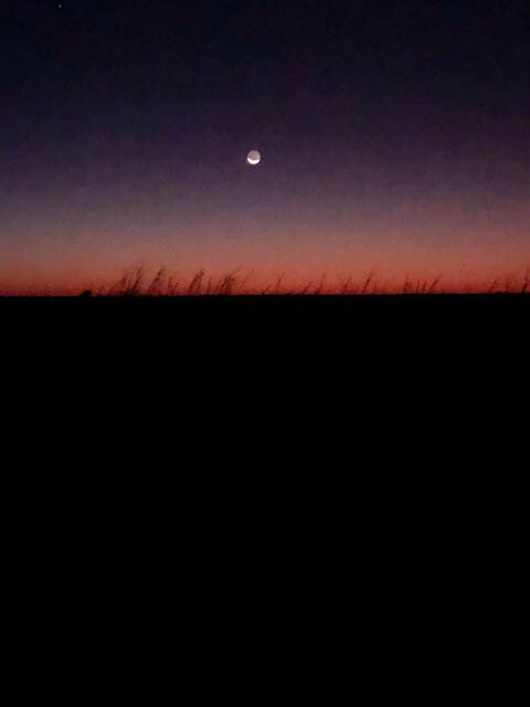
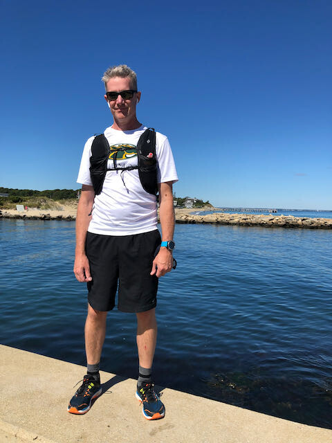
Started by swimming OB Harbor at 7:13 pm. Friend Adam F. took picture of me swimming away. Washed salt off with gallon jug of water on the other side that I had stashed. Another gallon stashed for after Lagoon bridge crossing (swam on the inside). Lots of evidence of sea level rise along the way (Excavator pic on west chop). Swam a very small Mink Meadows opening, was really just waist deep walking, maybe one breast stroke to the other side. Swam Tashmoo opening and there was a TON of phosphorescence in the water it was amazing! (post swim clothing change pic). Walked north shore and the tide was super high, this was the most challenging part of the walk, not knowing if the next cove would be passable, ultimately they all were, but it was tough. Slept in Menemsha on my friend's dock house for a few hours until the sun rose. Swam from tip to tip of the jetties. Had a cache of food and water on West Basin (Lobsterville) side. Walked to right fork around Aquinnah, etc (Bird beach picture, amazing day). Met friend RJ at my cache there, then slept on an unnamed (private) shack porch while it rained, but primarily to wait so that I could perfectly time arrival at The Gut at sunrise. (moon picture was taken walking down the spit after Cape Pogue Light). Arrived at The Gut as the sun rose, and really had to psyche myself up as I knew this would be the toughest swim. The water was roaring down the coast from the north, and then heading into the bay, like a river! Finally committed (walking back the other way was too far), and on the other side there were 5 fishermen in waders and full fall gear who were shocked to see me come swimming across. it was pretty funny. Walked to EDG harbor, crossing was awesome, and chill. Walked to eel pond, just swimming across first spit to the landing, and then also across the small harbor on the cow bay end of eel pond. Swam big bridge, little bridge, Harthaven opening, then back into OB where I asked someone to take the picture of me at the finish.
This FKT can be broken. I was not racing just trying to actually do it. Good luck!
Comments
I do want to note, that for three bridges, I swam, and then walked back and got my pack and running shoes after the swim. So, "cleaner" would likely be to swim every opening with pack. Just wanted to clarify.
Also, the time above is my TOTAL time, end to end including sleeping and waiting for sun and tides. Not my walking/swimming time. My walking time is 27 hours, 42 minutes. - Paul
The elapsed time of three segments of my GPX add up to 27H:42M. Because I shut the watch and Inreach off while I slept to save battery. I sent the three gpx files to the editor when submitting. So, the time from the start of the FIRST GPX to the end of the THIRD GPX is 1d 16h 22m 53s, which is why the editor set this at that TOTAL time. Just want others to know how long the walking/swimming time is. - Paul
Hi! This is so awesome, and I've thought about doing this for a long time.
I am very interested in trying this and wondering if you'd give me some recon about it!? Feel free to email me if you have the time and energy to chat. aburtonmassage@gmail.com
Thanks!
Alexandra (turns out we have the same last name...) Burton