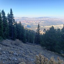
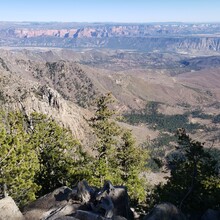
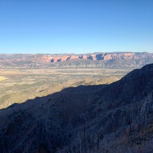
This route was listed with a gpx but no recorded FKT. I figured I'd give it a try. I've been on most of these trails before but haven't done this as a single push before. As noted in the description the trail is pretty rough and difficult to follow in places. The section dropping into Mill Flat is especially difficult. That riparian area has flooded out and made travel there difficult; many burned downed trees make for slow going. The trail from Anderson Valley down to New Harmony was in better shape than I thought it might be.
The original gpx shows going up to the top of Burger Peak so I also did this quick detour.
Water was not as plentiful as it usually is along this route. With the drought conditions in the area many of the streams were dry. There was good water going up Forsyth and then nothing until the stream dropping in to Mill Flat. There were a few other small streams between Mill Flat and the north trailhead.
Someone fast could easily improve this time. Just be prepared for a remote, rugged and tough trail!


