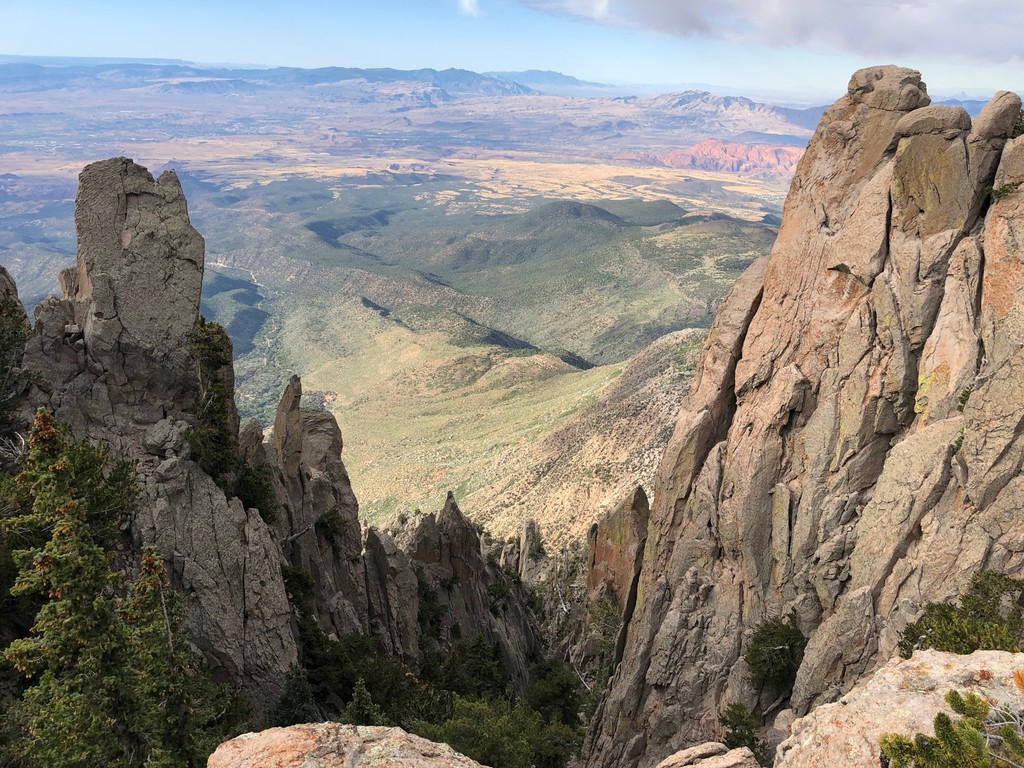
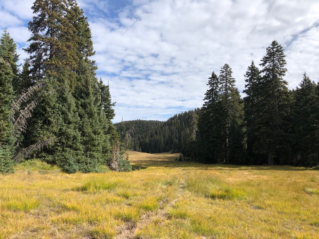
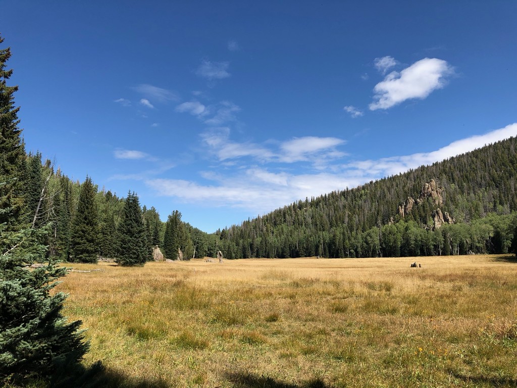
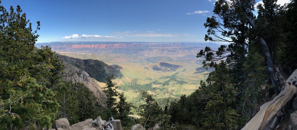
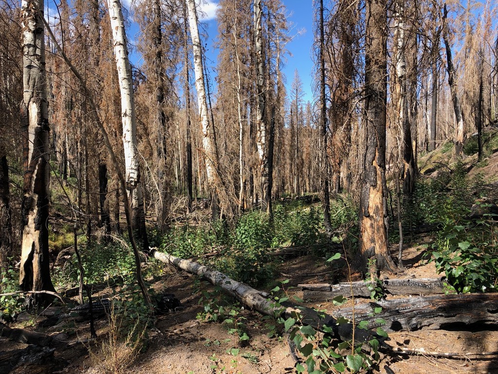
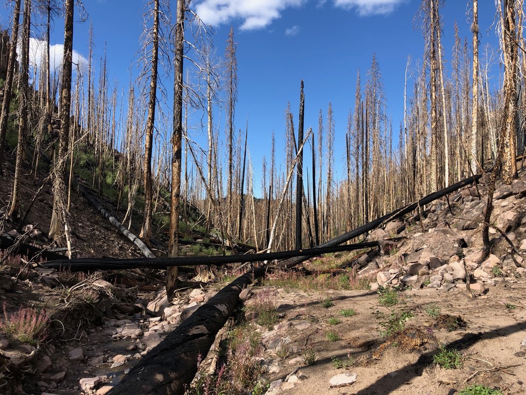
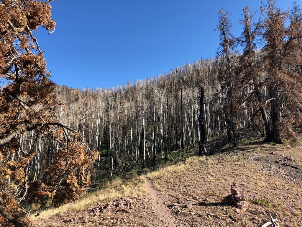
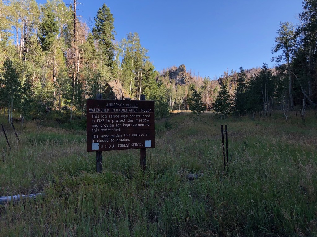
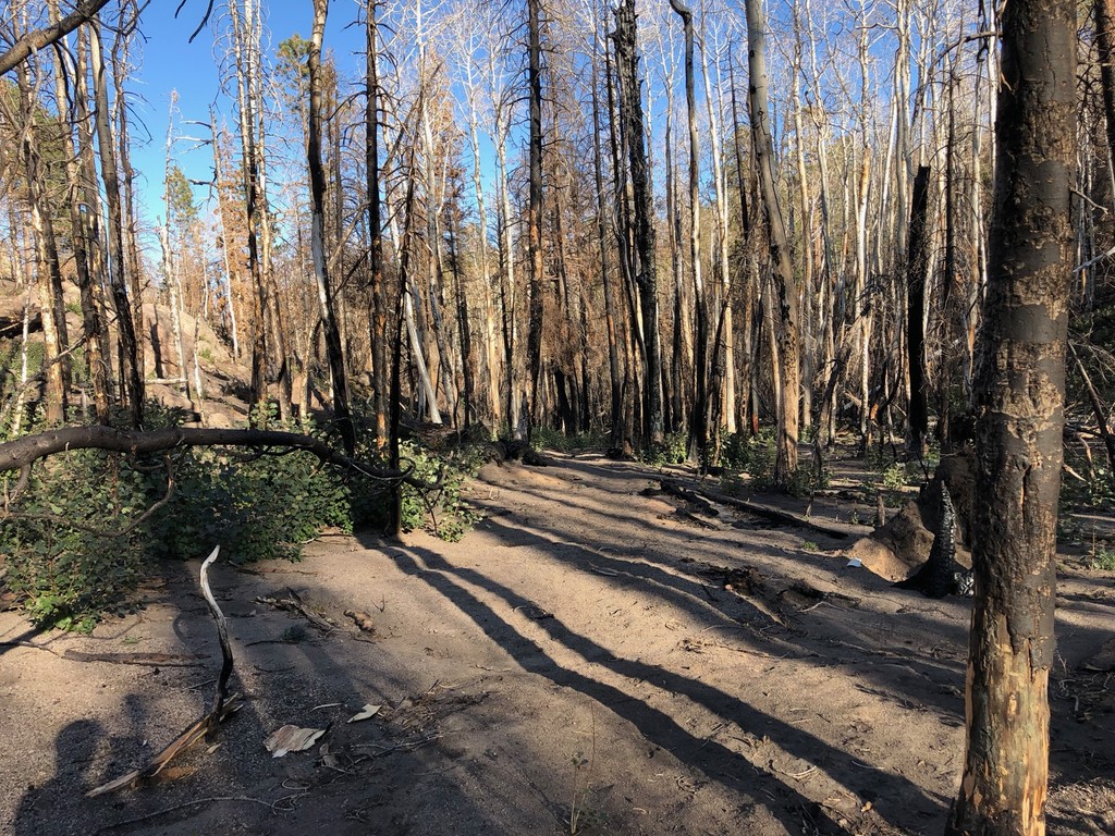
Route begins at the Forsythe Canyon Trailhead in Pine Valley. Proceeds up the canyon to the top of the mountain just below Burger Peak, then proceeds to follow the summit trail beneath Signal Peak, through Further Water Meadow, past the browns point turn off, through Hidden Valley, South Valley, Whipple Valley, North Valley, Browse Point Lookout, and into Mill Flat. At Mill Flat it proceeds out the North East exit to the meadow heading to Anderson Valley, and then proceeds to head down the mountain to New Harmony. Between the Browse Point Lookout and Anderson Valley most of the area was burnt out in 2018 so the trail is overgrown with aspen shoots, and heavily eroded, so GPS route navigation is essential through this section. Route is approximately 30 miles long, and almost exclusively in wilderness area so the trails are not actively maintained.
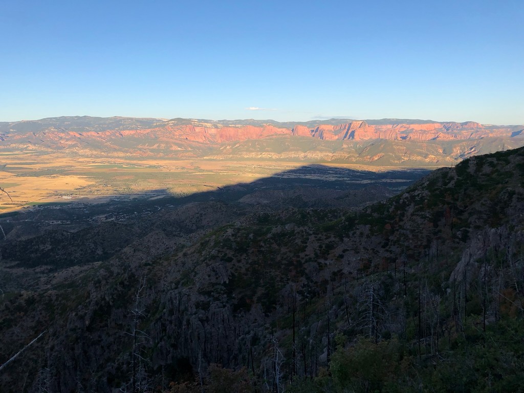
Route between 8500 - 10000 feet for approximately 20 miles of the route, so be prepared for high altitude conditions, and freezing temps during the night. This is definitely backcountry and not easily accessed, so GPS navigation and communication via Ham Radio, or Satellite Phone/inReach devices recommended.


Comments
Planning on giving this a go tomorrow - if my legs and lungs hold up I’m going for the out-and-back ~100k rather than the point to point. Unsupported.