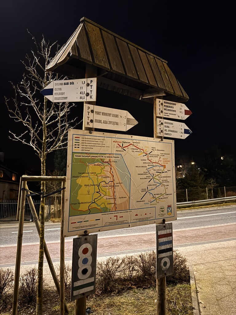
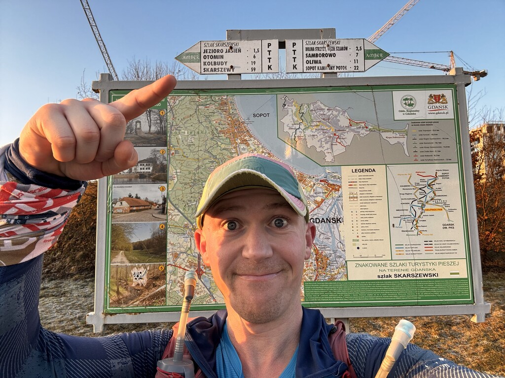


Due to logistical reasons, I decided to start the route in Sopot (Kamienny Potok). The start time was 4:18 AM. This was a control training start - instead of traveling across Poland to do a long run, I used this trail as a solid long-distance test. It was also a shoe test and a nutrition test focused on carbohydrates.
The run was done in the Self-Supported category.
I was packed rather heavy, similar to mountain running, which I also wanted to train.
Nutrition and equipment
I carried:
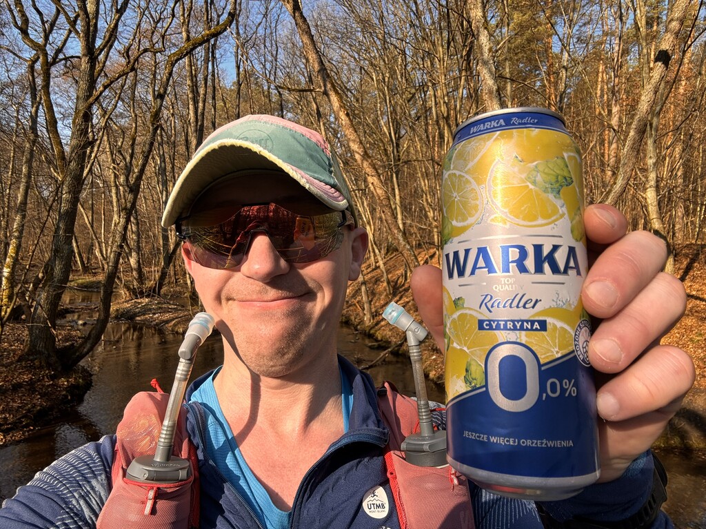
- 2 drink mixes and 19 gels (I used everything except 4 gels),
- total about 500 g of carbohydrates from my own supplies,
- plus carbs from drinks bought in shops on the way - around 600 g total, which gives about 60 g of carbs per hour.
Additionally:
- short shorts (in case of heat),
- gloves (cold morning),
- jacket, spare hoodie, pants and socks (I did not know how I would return and wanted to avoid getting cold after the run),
- small first aid kit and other small essentials,
- soft flasks for drinks.
I visited 3 shops along the route, drank over 6 liters of fluids in total.
About the trail
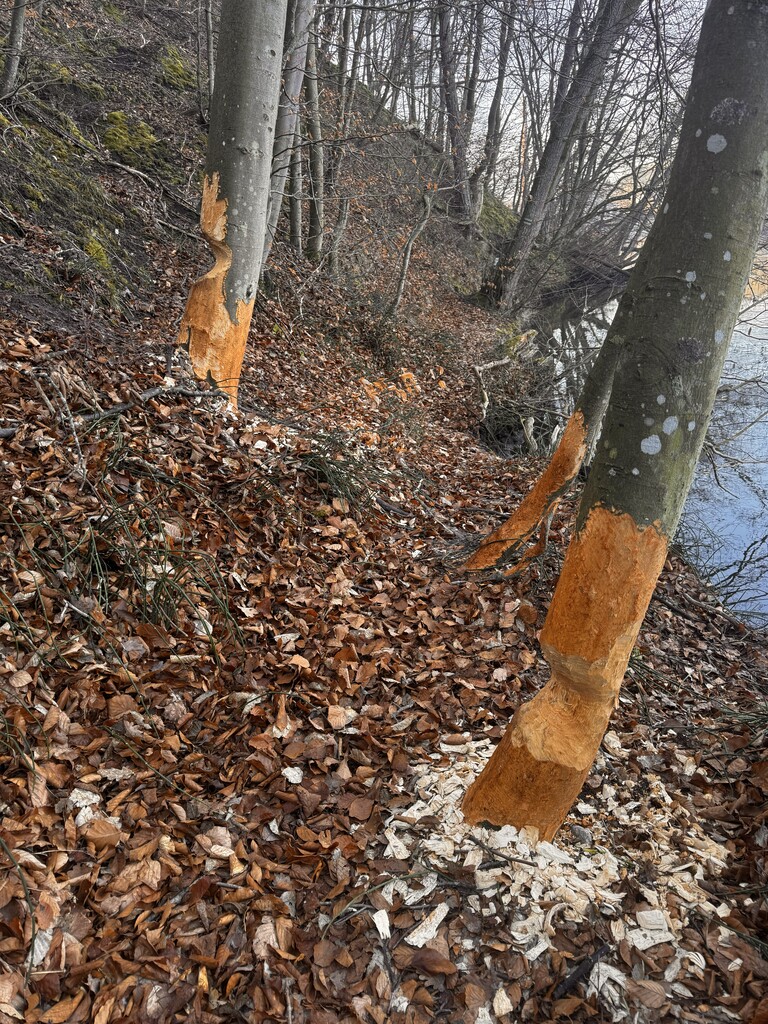
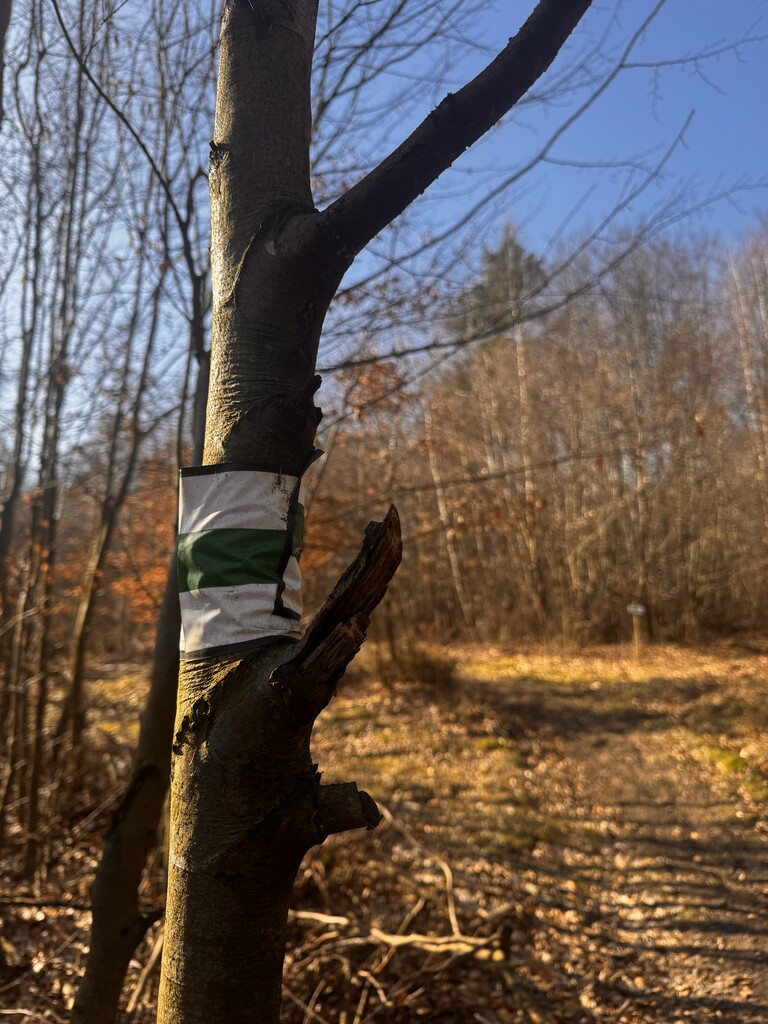
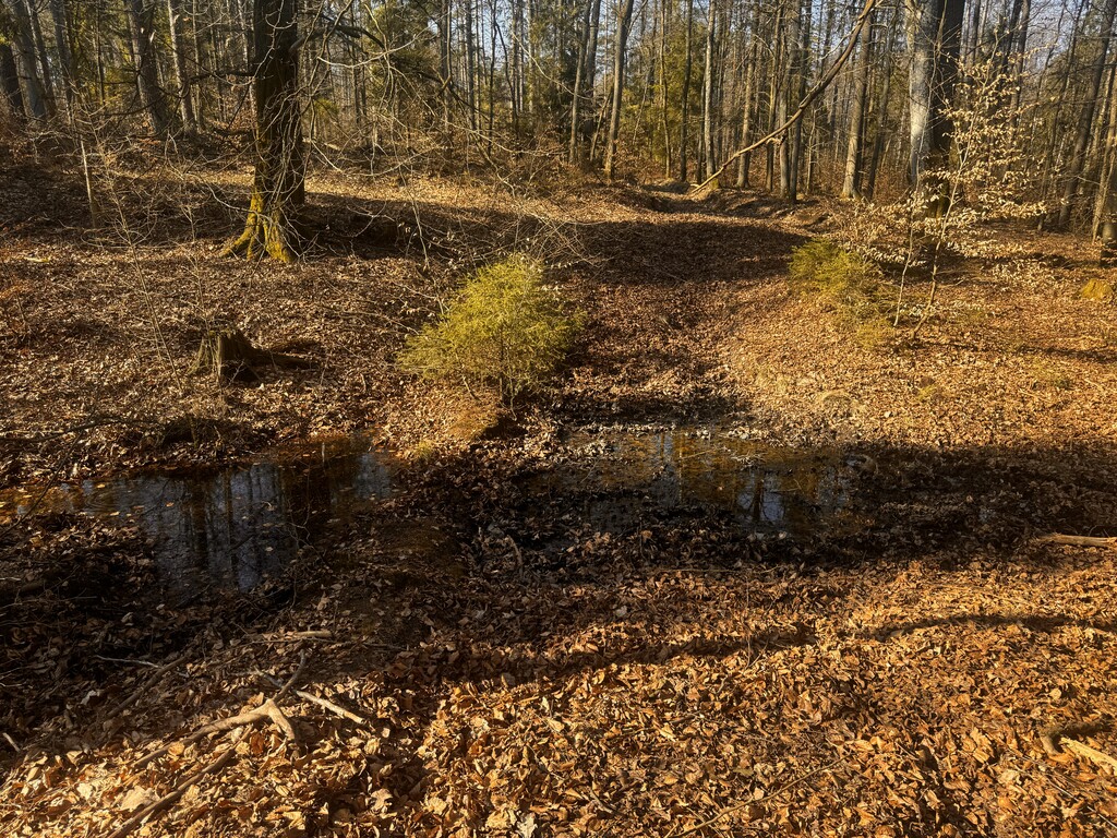
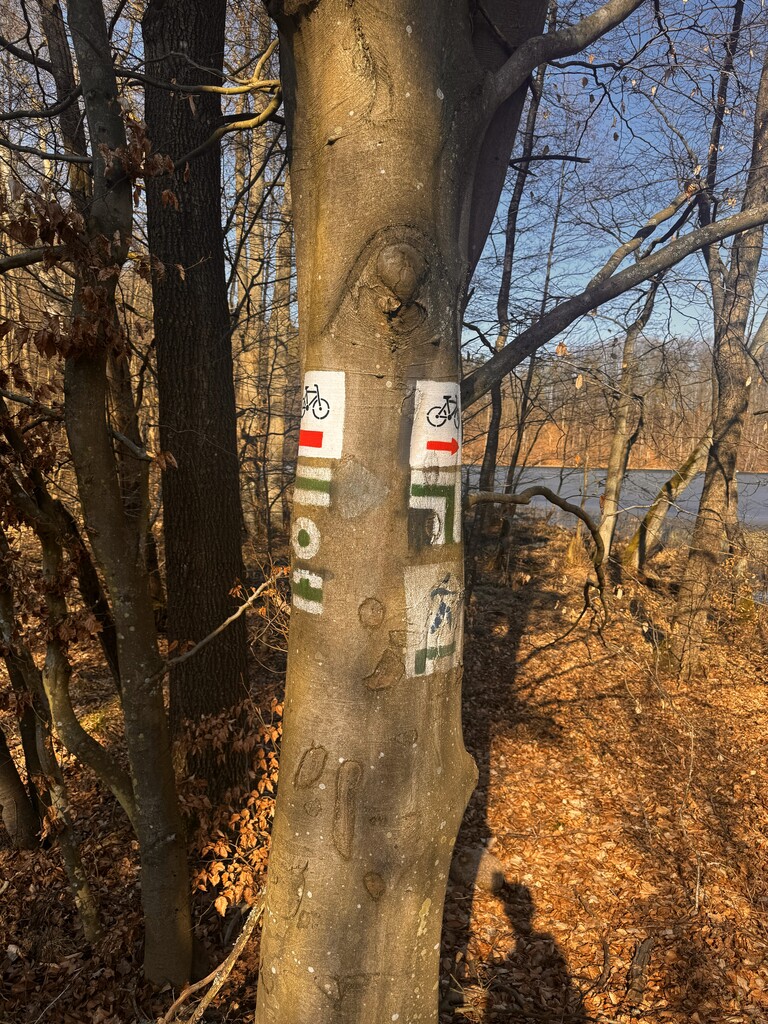
I knew almost the entire trail before, except for the last 11 km. It is a very scenic but demanding route. If there are no steep climbs, there are fallen trees on lake slopes. When there are no fallen trees, there is often mud, puddles and deep ruts. Definitely not an easy trail - but highly recommended.
I divided the route into four sections, separated by the shops where I restocked drinks.
Section 1: Sopot Kamienny Potok - Gdańsk Kiełpinek
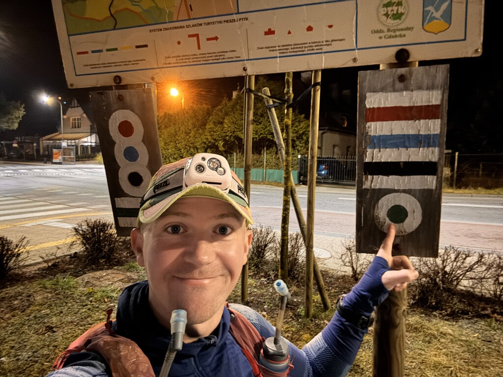
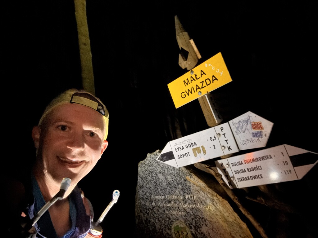
In my opinion, this is the most interesting and most technical part of the entire trail, but also the one I know best, as I train here often. Almost half of the total elevation gain of the whole route is done in these 22-23 km.
The trail passes:
- Mała Gwiazda
- Wzgórze Pachołek
- Zajęcza Dolina
- Zielona Dolina
- Dolina Samborowo
- Niedźwiedzia Dolina
- Rezerwat Doliny Strzyży
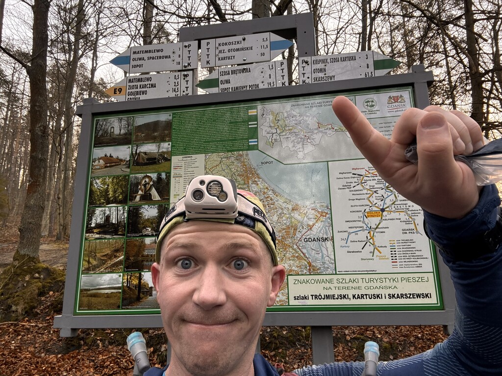
Almost the entire section runs through Trójmiejski Park Krajobrazowy.
In Gdańsk Kiełpinek, I left the trail for about 300 meters to buy water in a shop (after that, I returned to the trail at the place where I left it).
Section 2: Gdańsk Kiełpinek - Kolbudy
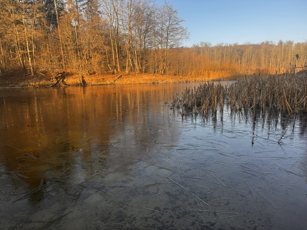
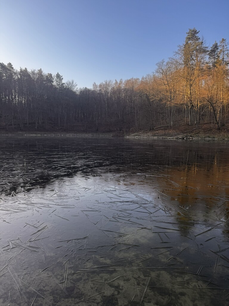
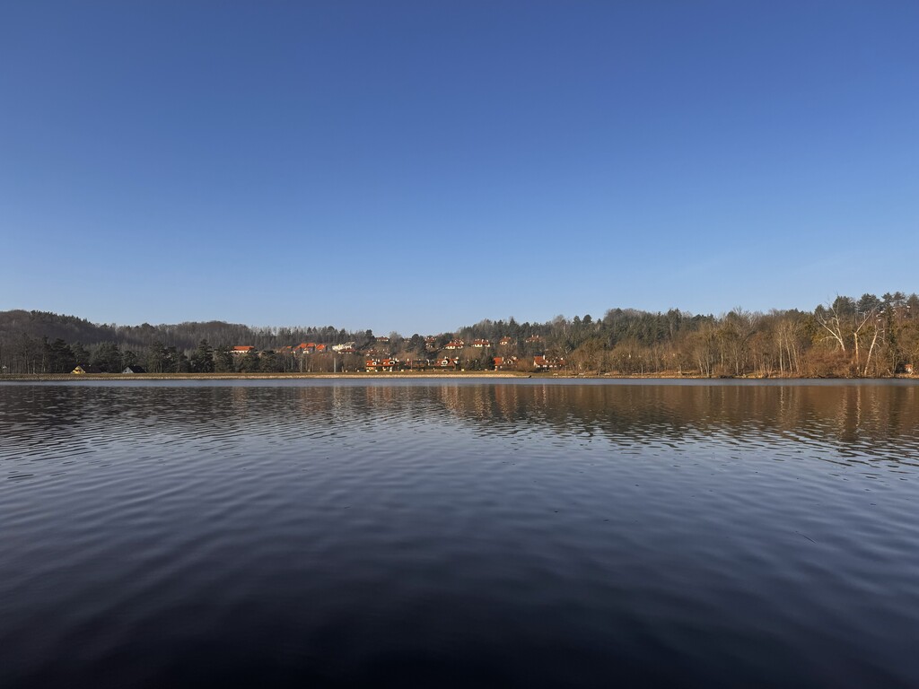
Still very green and with a lot of water nearby - this is the second most interesting section of the route.
The trail goes:
- along Jezioro Jasień,
- through Las Otomiński,
- past Jezioro Otomińskie,
- along the Radunia River,
- and next to Jezioro Łapińskie Nowe, all the way to Kolbudy.
In Kolbudy, there are two shops located directly on the trail.
The section along Radunia and Jezioro Łapińskie is probably the most tedious part of the whole route - rarely used, poorly maintained, sometimes collapsing toward the lake. It is very hard even to jog there, and I recorded 2-3 slowest kilometers of the entire run in this area.
Section 3: Kolbudy - Nowy Wiec
I cross the Radunia River, where I take a short break on the bridge to hydrate. Just after the river is Pręgowo, followed by forests, Szklana Góra, and then Jezioro Przywidzkie Wielkie.
The trail runs along the lake for about 2.5 km, which is probably the most scenic fragment of this section.
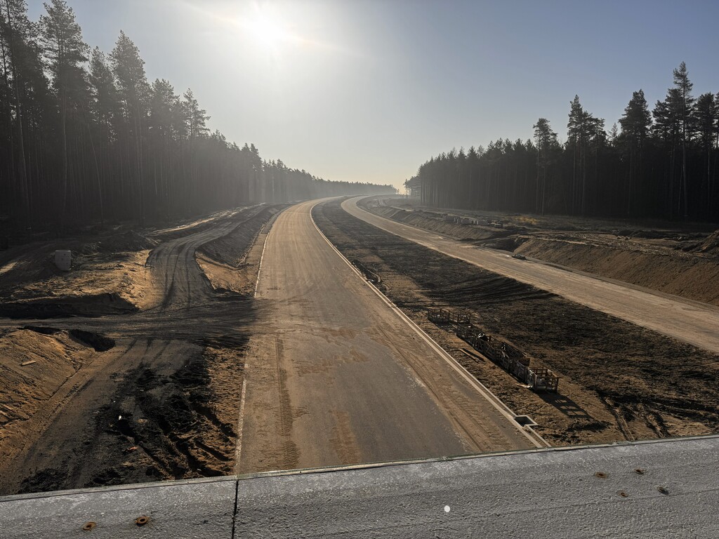
Later, there is a road section with cars on DW233 toward Miłowo, followed by fields, forests, villages, and finally the shop in Nowy Wiec.
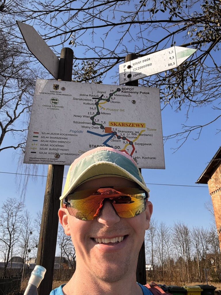
Section 4: Nowy Wiec - Skarszewy
The last section includes:
- forest paths,
- the village of Szczodrowo,
- open fields,
- and the Wietcisa River valley, leading through Wolny Dwór.
The finish is located next to the abandoned railway station in Skarszewy. If you do not have pre-arranged transport, there is a bus stop right next to the end of the trail, which makes logistics easier.