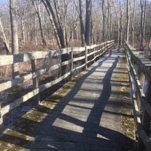
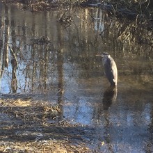
Time is from my stopwatch, which is better than Strava. This trail is close to my family's home, and I have run parts of it over the years but never figured out the whole thing. It links up a bunch of different conservation lands, and intersects many other trails. The area between Blinn Rd & Croton Dam Rd is especially confusing, and even though I'd run through there "clean" just a few days ago I messed up the route in both directions this time. I started at Rte 134 since that's very close to the house, and ran north at a rather leisurely pace to the turn-around just under 2 hours. Then I ran "FKT pace" (faster, but still not very fast) for the rest of it. Conditions were very cold - about 8 degrees F at the start. The ground was frozen, which is better than mud, but some sections were icy and there was a dusting of snow. There were also sections of 3-4" deep surface hoar frost which made for interesting footing. I think this may be the first time anyone has run the entire trail end-to-end? That's not right, since it's really a very nice trail!
Athletes
Route variation
out & back
Gender category
Male
Style
Unsupported
Finish date
Total time
4h
20m
26s
Verification
GPS track(s)
BPT-Bakwin.gpx399.04 KB
Report


