


During my FKT attempt, I recorded the official track using my Garmin Fenix 6 watch and also recorded a backup using the GPX Viewer PRO app on phone. On some days I had to restart the Garmin track within the first mile of my hike. Links to the truncated tracks are at the end of the report.
On Sunday, June 4th, the day before my FKT attempt, I placed three supply caches along my route. The caches contained water, food, clothes, and battery banks. I double bagged them and hung them in trees well off trail. I placed a notice with each cache containing my contact information as well as the placement and collection dates. Caches were collected after completing the FKT.
Caches were placed as follows:
- Just north of access 4 on M02 (42.1969208, -78.8156239)
- Just west of S. Canada Hill Rd on CT04 (42.3486141, -78.5848128)
- South end of Darian Lakes State Park, access 3 on CT08
After placing the caches, I drove to the parking at the southern terminus (access 1 on M01) and slept in my car.
Day 1: 36 miles, 12.5 hours, 4,433 ft, 3.6 mph moving
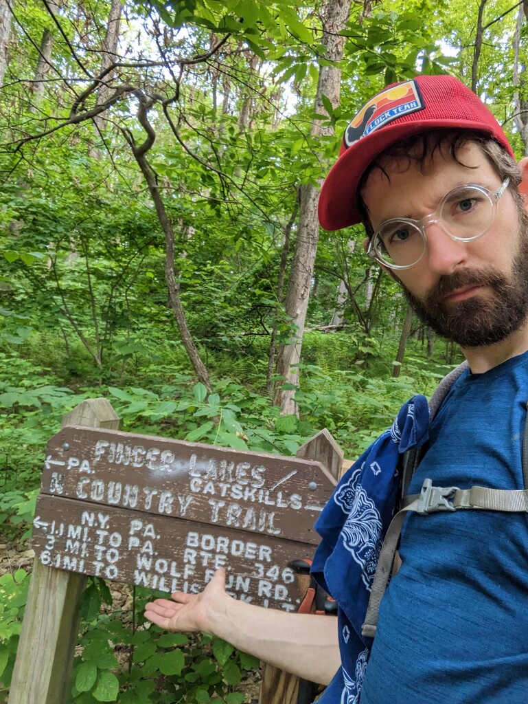
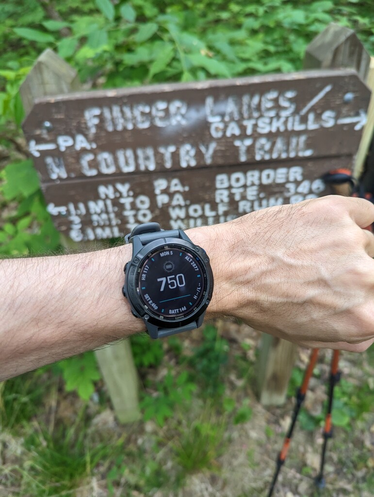
On Monday, June 5th, I walked the short distance to the PA-NY boarder and officially began my hike at 7:50 am (see picture). I walked about 36 miles and slept at the Bucktooth State Forest Lean-to on M02. I stopped at McDonald’s in Salamanca for fries and a milkshake.
Day 2: 35 miles, 14 hours, 6,495 ft, 3.4 mph moving
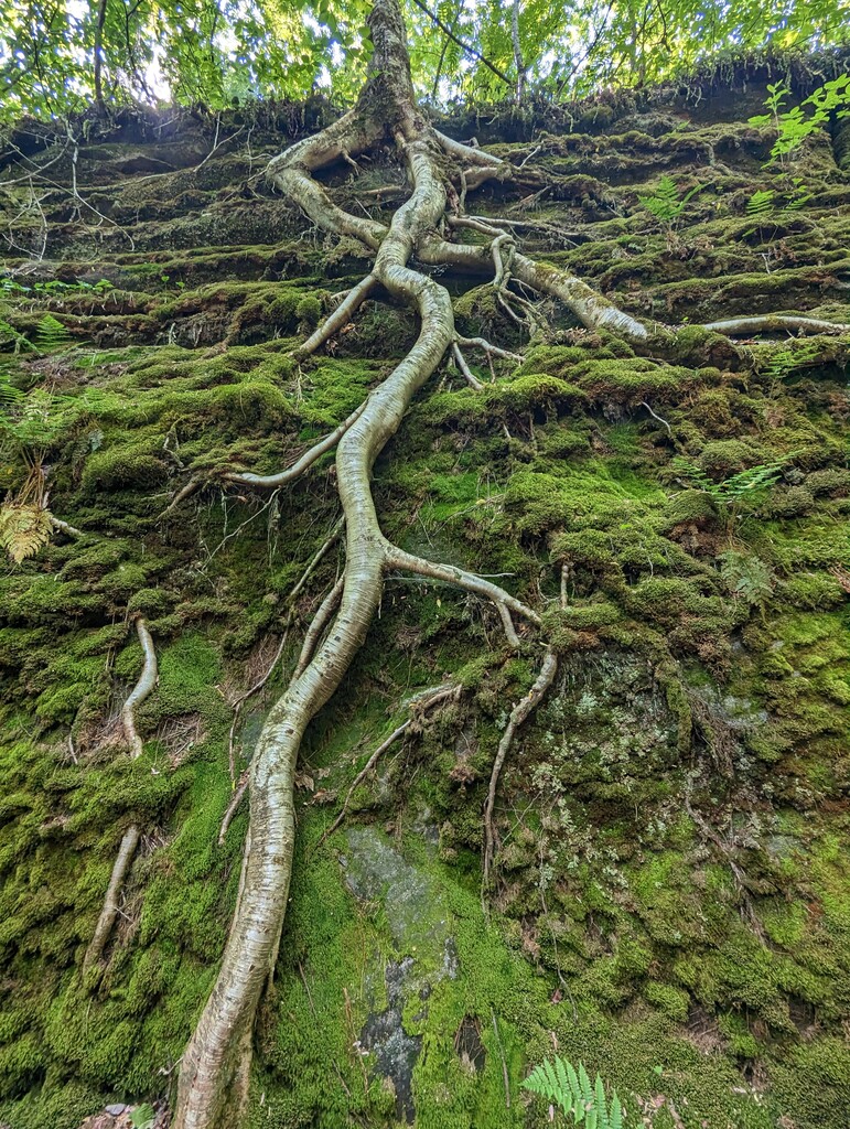
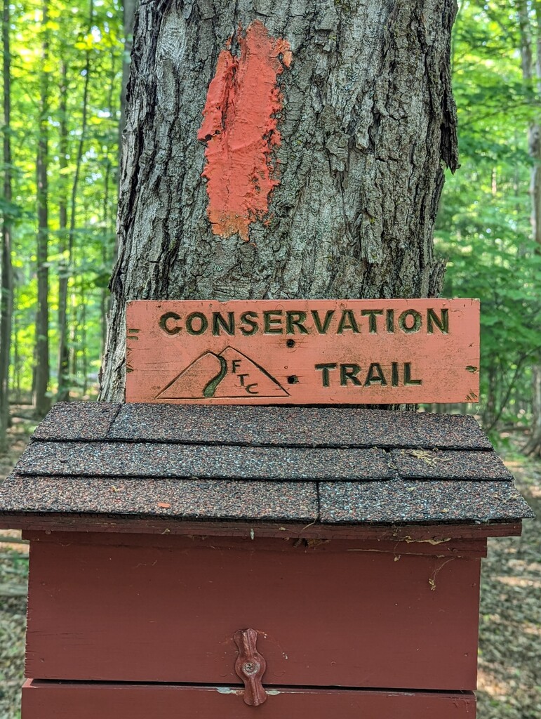
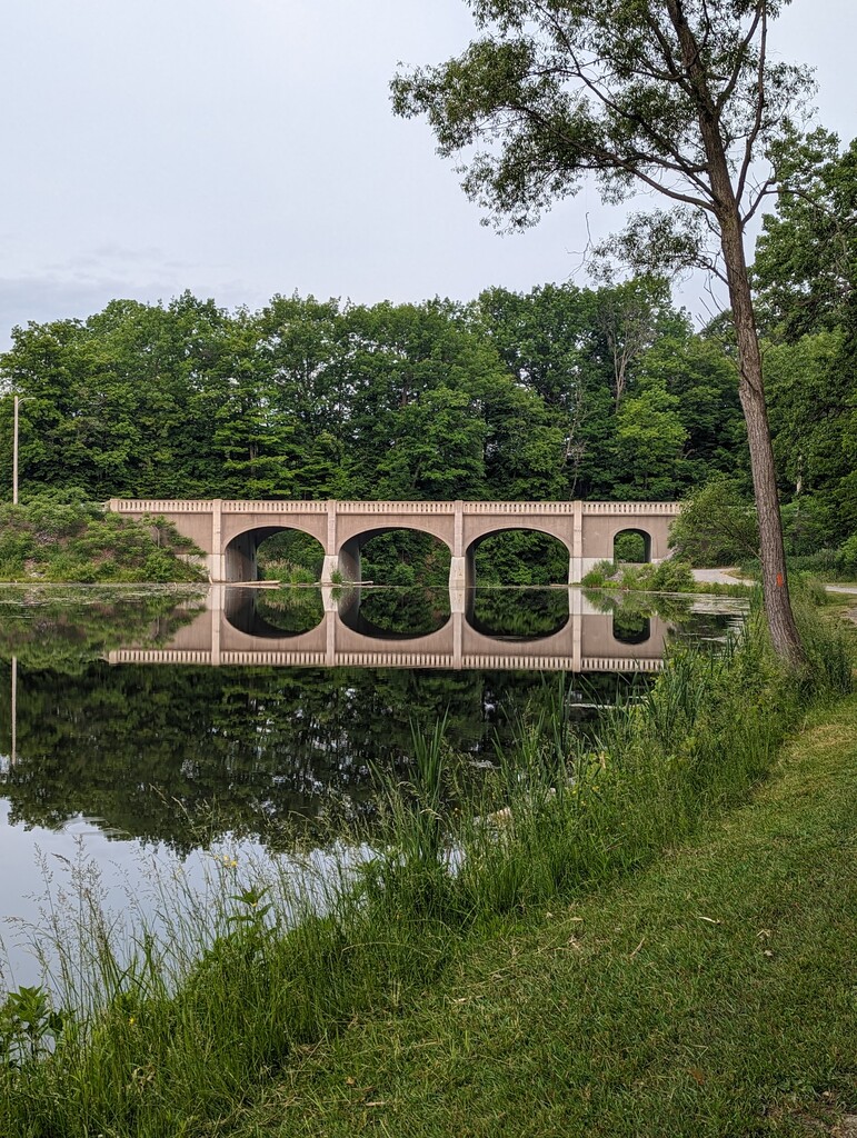
I slept a full 8 hours and began hiking around 6:15 am. I carried my cache forward and re-cached it in Elkdale State Forest. I hiked about 35 miles and cowboy camped close to my second cache on CT04. I had intended to go to the tent site on M04; however, I was having stomach problems and decided to stop there. This day was the hardest as far as terrain goes, with many steep climbs/descents and a lot of bushwhacking.
Day3: 30 miles, 11.5 hours, 3,100 ft, 3.6 mph moving
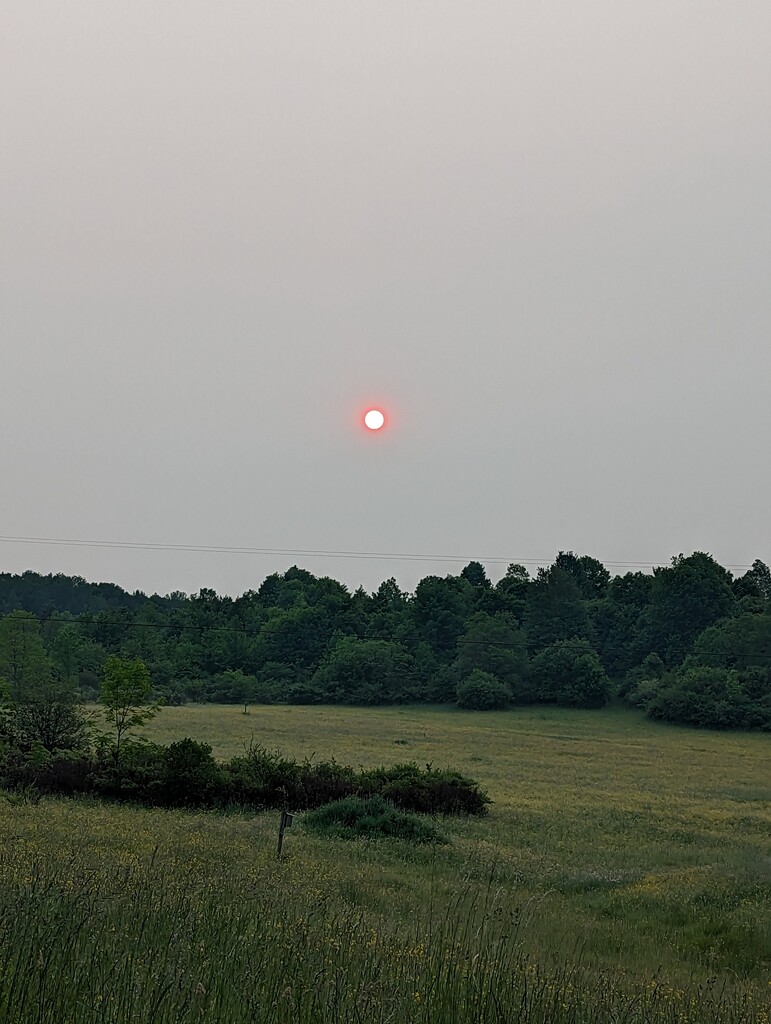
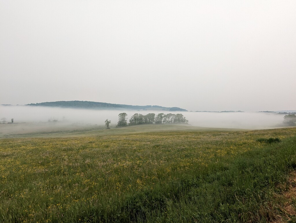
I slept 8 hours and started walking around 6:50 am. The smoke from the Canada wild fires, which had been apparent for the last 3 days, was become quite thick. I stopped at the Lucky day homestead and bought some pastries and cookies, and when I left, the horizon was completely obscured. Luckily, the conditions began to improve after about 2 hours. I hiked 30 miles and stopped in the town of Holland on CT06. I was having significant achilleas pain as I walked the final 2 miles into town. I had dinner at the Holland Hotel and decided to get a room there since there is no camping in the area.
Day4: 43 miles, 16 hours, 3,041 ft, 3.4 mph moving
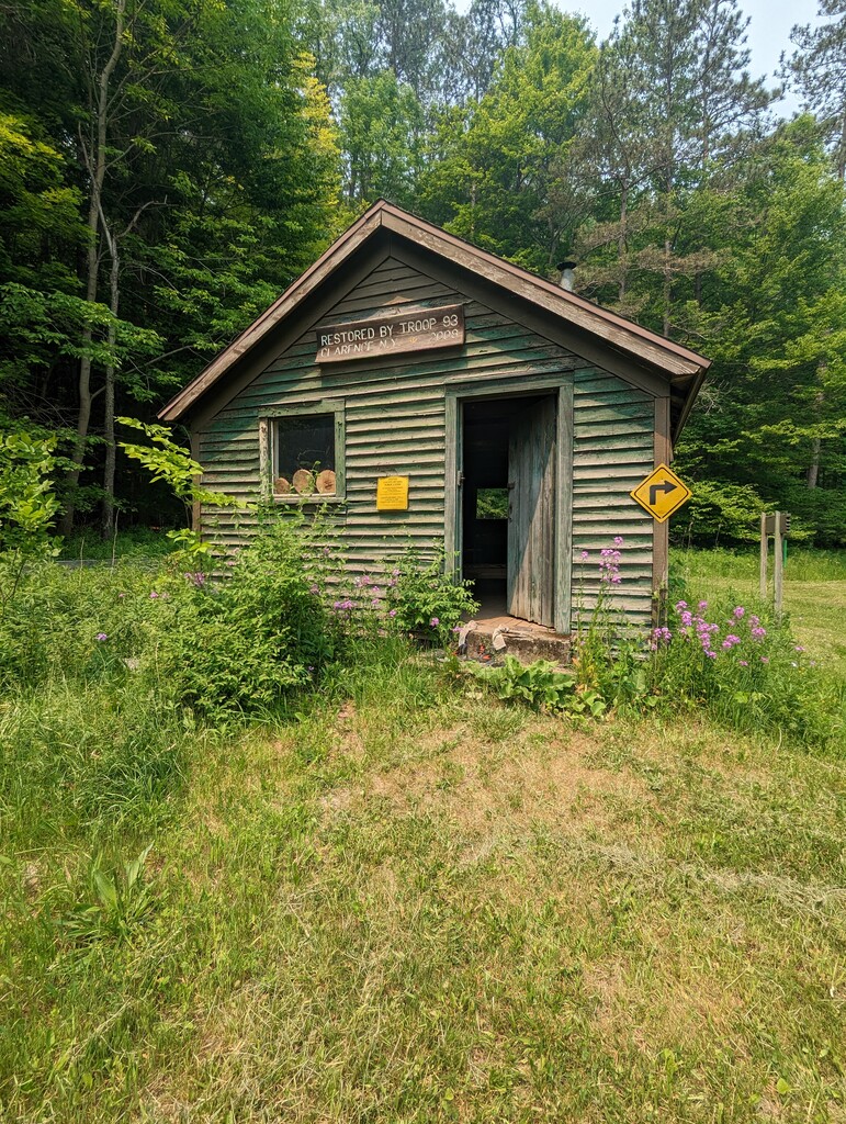
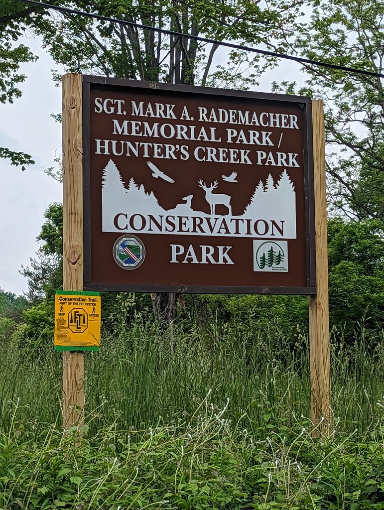
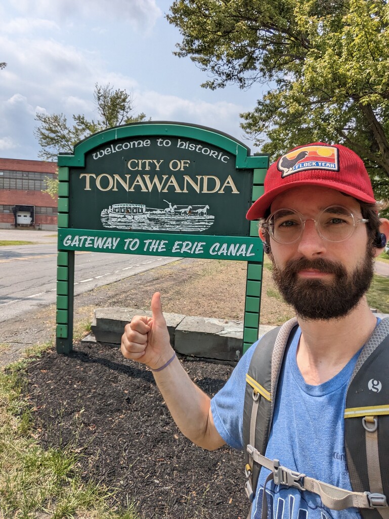
I did not sleep well and began walking in the dark around 4:50 am. Due to a trail reroute on Vermont Hill Rd (CT06), the section north of Holland was shorter and easier for me compared to the 2022 FKT set by Julie Jordan. My achilleas pain continued immediately and I was considering that I may have to quit the hike. I stopped in Hunter’s Creek County Park and used my knife to remove part of the back of my shoe in order to reduce pressure on my achilleas. This seemed to solve the problem and the pain quickly subsided. Otherwise this day was non-eventful, with lots of road walking and some poorly maintained sections. I slept at the Econo Lodge in Corfu, NY. I left all my camping gear with the front desk that night and went to the 24hour Denny’s across the street for dinner. I went to sleep around 11pm.
Day5: 51 miles, 17.75 hours, 780 ft, 3.5 mph moving
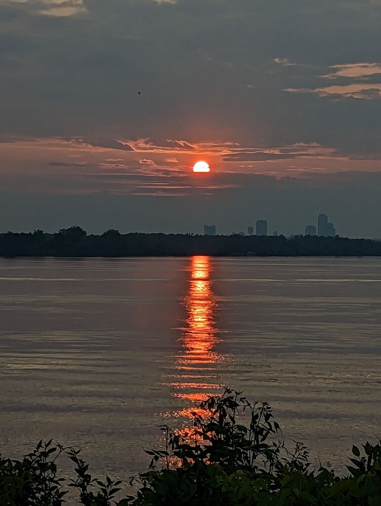
I didn’t sleep well again and went to Denny’s for breakfast. I began walking around 5:15 am. Much of this day blurs together. There was a lot of paved bike paths that were boring and hurt my feet. I also assumed the trail would pass convenience stores as I reached populated areas but there were very few which left me dehydrated. I did get water from a restaurant and they gifted me some cake for the road. The day was mostly long and painful, but I was treated to a beautiful sunset over the Niagara River on Grand Island.
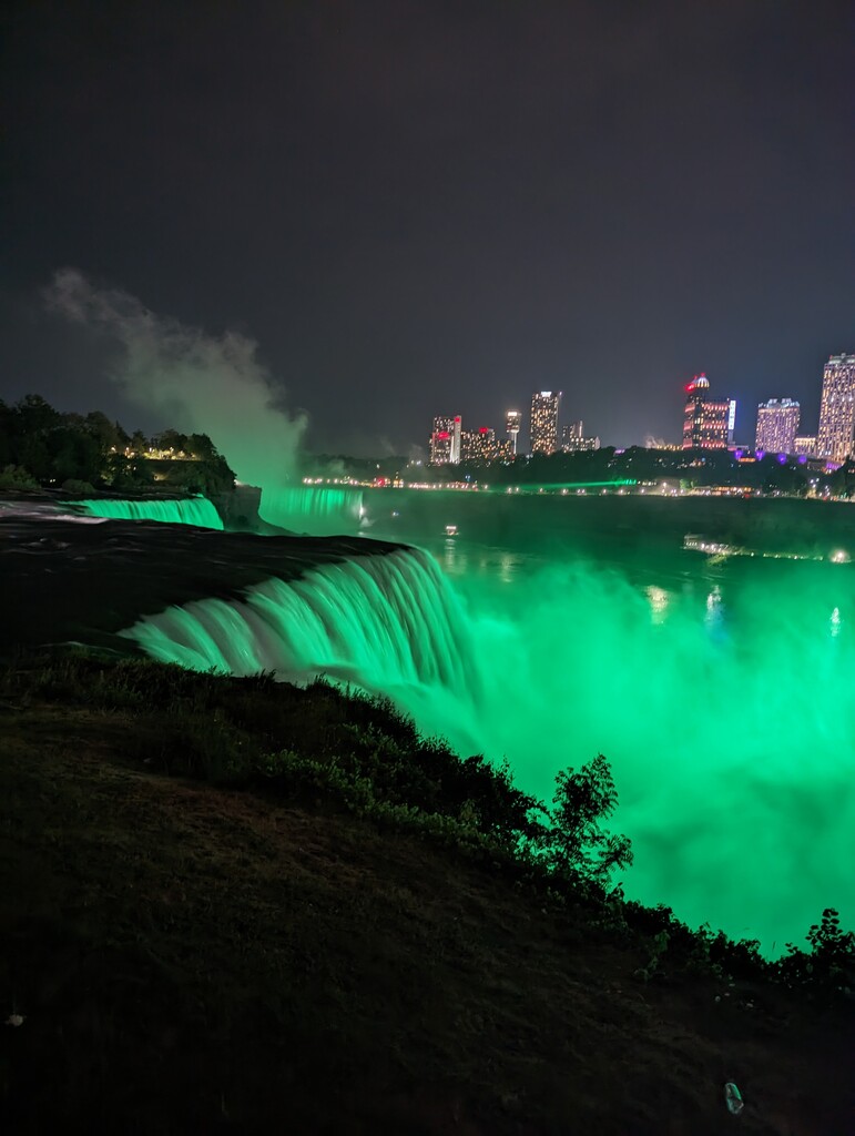
The sun was fully set when I crossed the north Grand Island Bridge back to the mainland. I slowly began to hear the roar of the falls as I got within the last 5 miles. In the last half mile, the trail started to descend towards the falls and I naturally began to jog. I was hit with adrenalin as I watched the rapids next to me, and eventually reached a dead sprint, clocking in under a 5-minute mile without any pain. This moment was easily the highlight of the whole hike and an experience that will stick with me. After a brief stop at the falls, I continued on to the US-Canada border, completing my FKT at exactly 11:00 pm on Friday, June 9th, 2023.
My final time was 4 days, 15 hours, 10 minutes. I’m very proud of this time, but I also know there is a lot of room to beat it (and I hope someone does!!!). I think a self-supported hiker could beat my time by an entire day, and a very strong supported runner could do it in 2-2.5 days. Some of the sections would be very difficult to navigate in the dark which may limit how fast someone could go. Going unsupported is doable, but water could be difficult at the end and there are very few officially sanctioned camping spots in the northern half.
Truncated Tracks:
- https://connect.garmin.com/modern/activity/11278867508
- https://connect.garmin.com/modern/activity/11278867648
- https://connect.garmin.com/modern/activity/11295757149