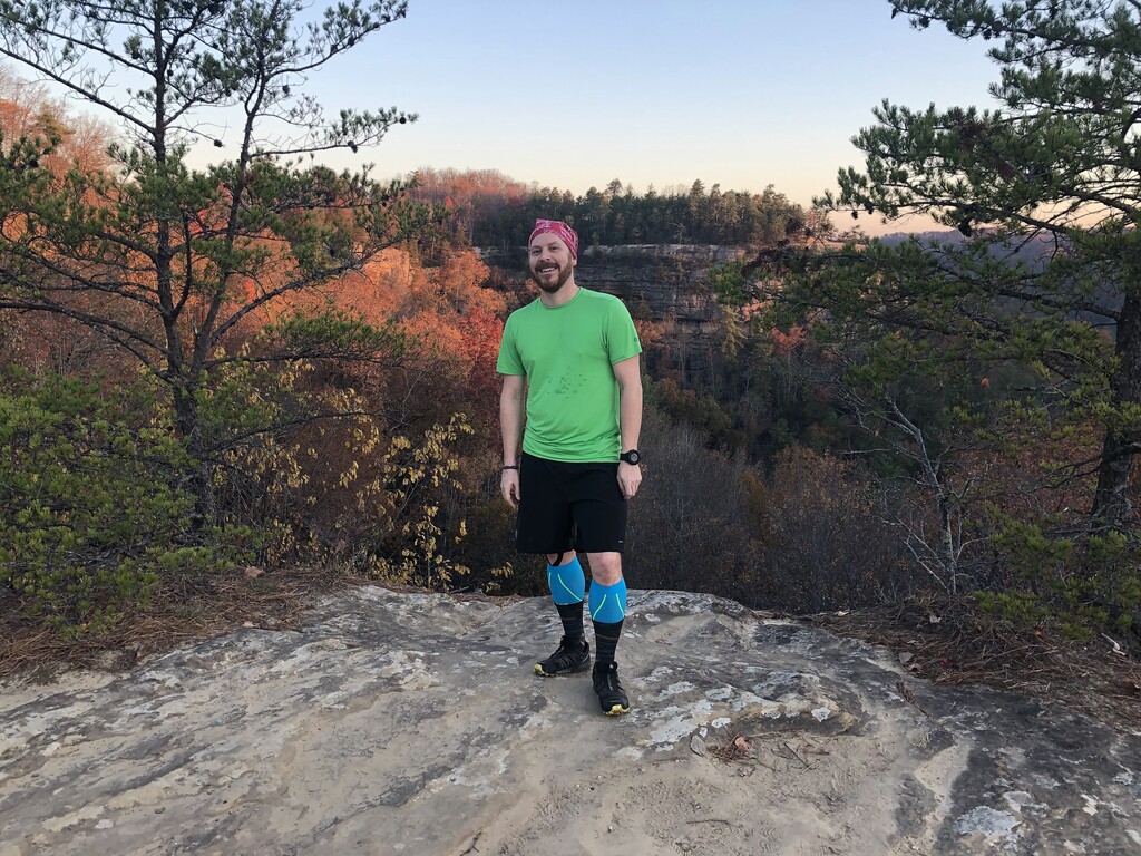
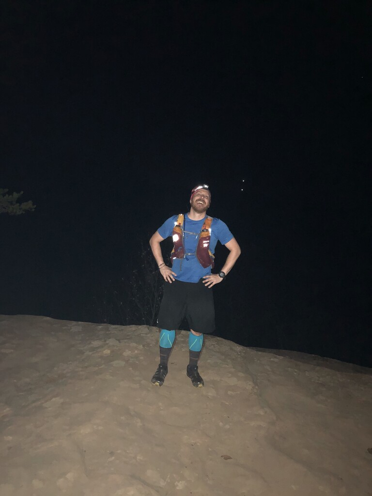
I did the route south to north starting at Natural Bridge. It was beautiful fall weather and the trail was almost entirely single track and runnable. In a few spots it was a little muddy with a couple stream crossings where it was hard, but not impossible to keep the feet dry. The trail is well marked but a little confusing in the northern part where several trails crisscross. Keep an eye out for the "turtle" markers of the Sheltowee Trace Trail. A good resource for planning is the Sheltowee Trace Interactive map https://www.sheltoweetrace.com/hike/, but keep in mind there is no cell reception within the gorge. The route could easily be done unsupported relying on streams (and purification) for water. My technology gave conflicting results for length and elevation gain, but with the run up to the start and back at the end it was definitely my first 40 miler (Garmin basecamp put it at 42 miles). Great Day! Thanks to Mat for all the training runs, to Nicole, Rachel, and Susie for shuttles and to Hal for suggesting the route and running the first and last legs with me.
[Editors Note: Phil ran the Balanced Rock Trail version of this route, adding .5 miles to his effort. Nine minutes have been taken off his route to reflect the extra distance.]