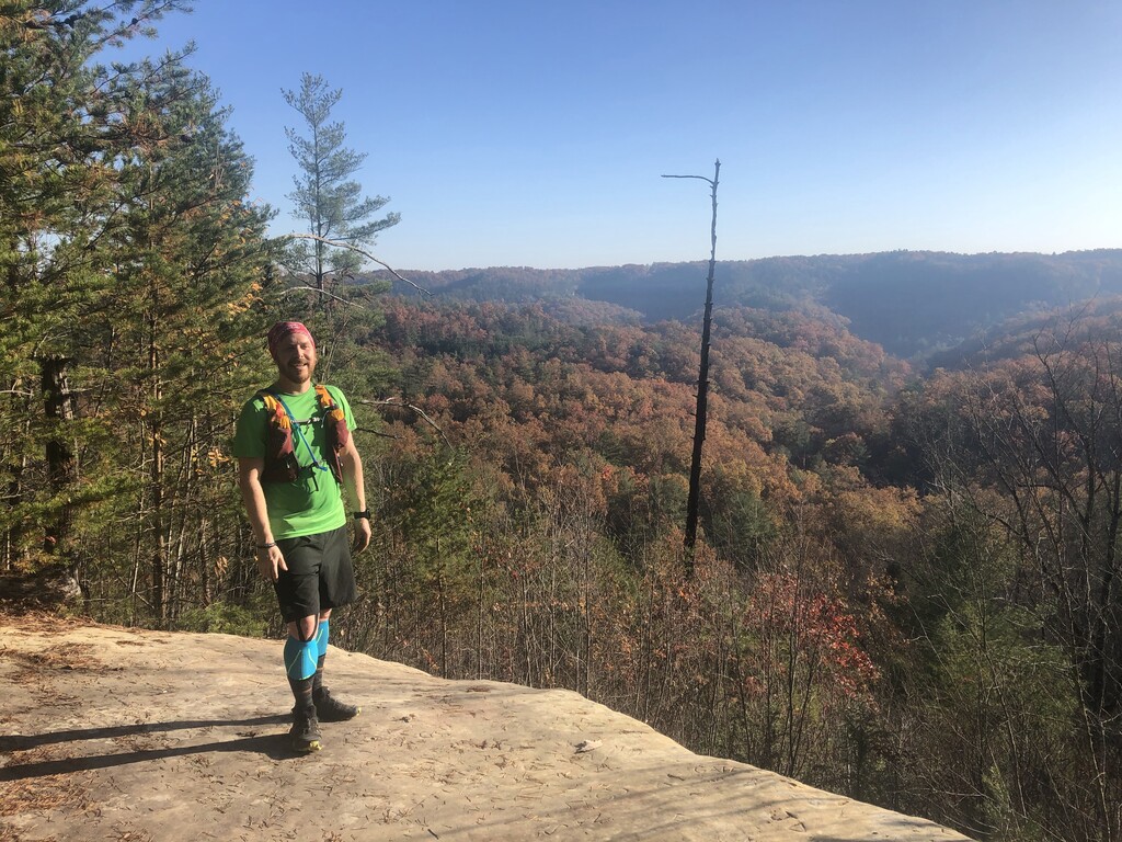
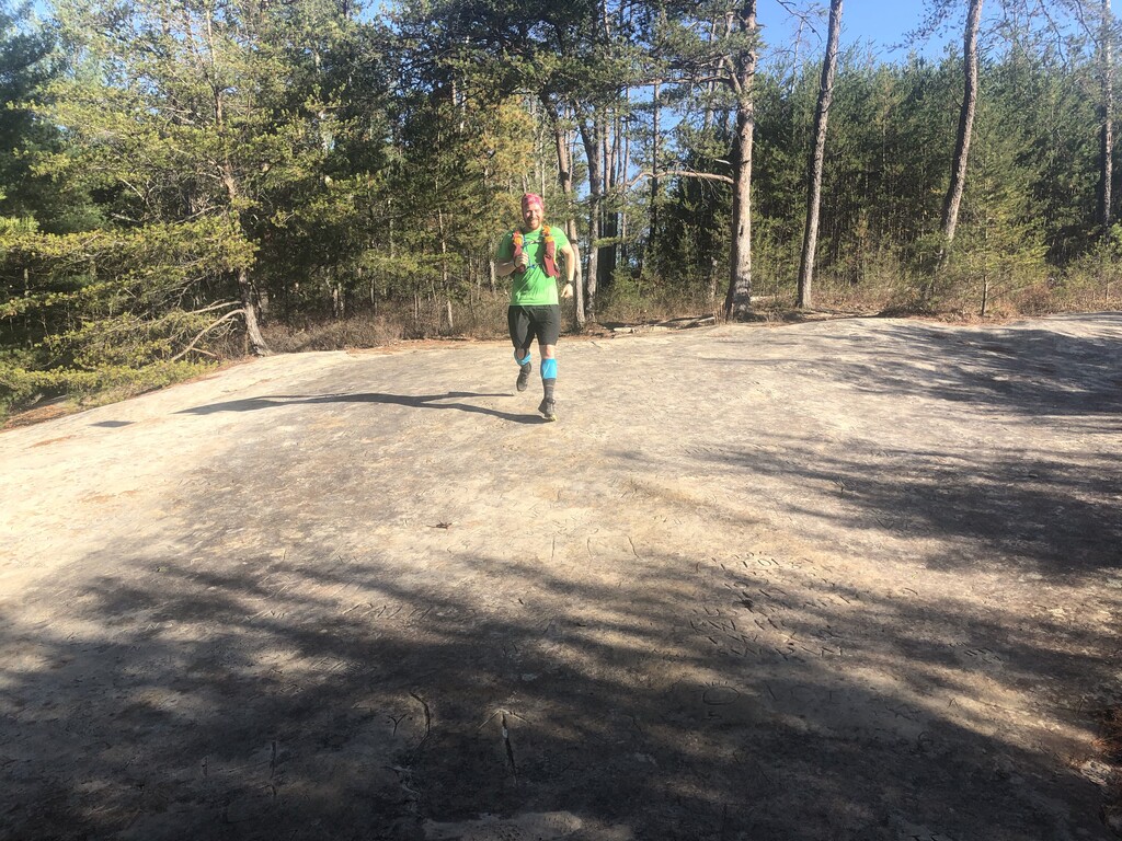
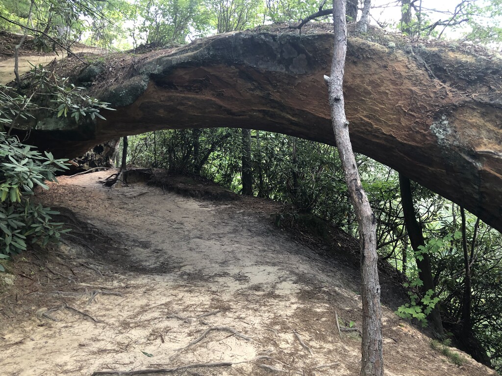
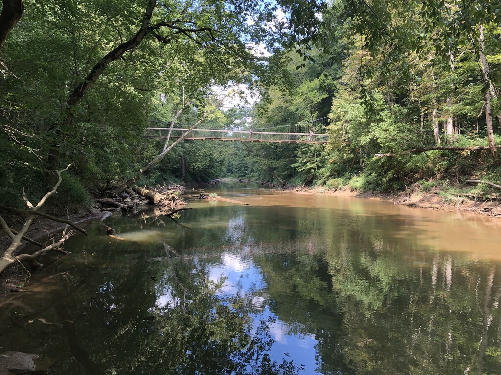
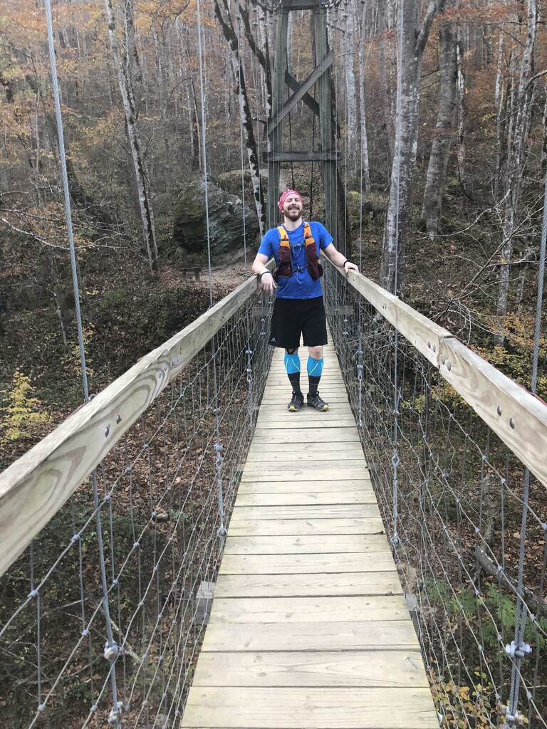
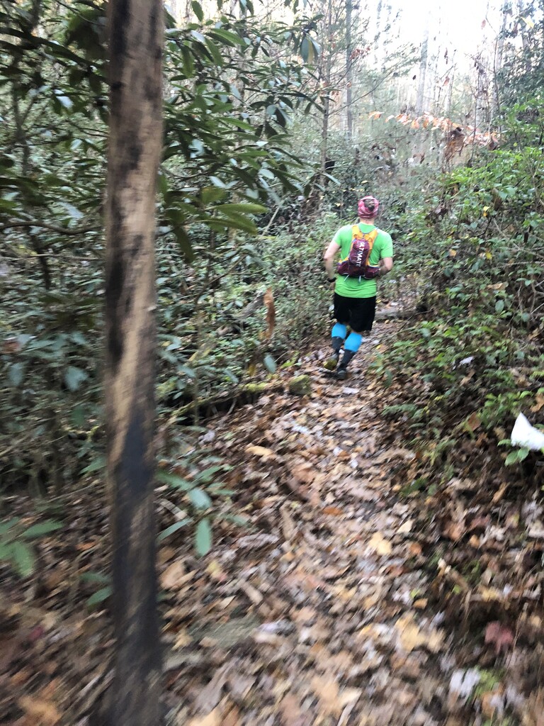
Although this description is written starting at Natural Bridge, this effort can be done starting and finishing at Natural Bridge or Corner Ridge. This route is the Rim to Red to Rim to Red to Rim (R2R2R2R2R) of the Red River Gorge, Kentucky. The route starts on the top of Natural Bridge, in Natural Bridge State Park, Slade Kentucky. This is the "South Rim" of the Red River Gorge. From the top of Natural Bridge, take the Original Trail to the valley where you pick up the Sheltowee Trace just north of Sheltowee Mile 84. Follow the Sheltowee Trace across the small suspension bridge near Hoedown Island, across Rt 11, and out through Whittleton Campground. The Sheltowee Trace heads north and eventually down into the Red River Gorge National Geologic Area. The Red River is crossed just after Mile 76 via a pedestrian suspension bridge. From there the Sheltowee Trace meanders up past arches and glens to the North Rim of the Gorge at the Corner Ridge Trailhead (Sheltowee Mile 66). Turn around and retrace your path to Natural Bridge. This route is a classic trail run and a perfect Midwestern analogue to the Grand Canyon R2R2R. It is almost entirely single track and has stunning views of arches and cliffs and areas of dense forest. The course includes a state park, National Forest, National Geological Area, and the Clifty Wilderness.
Note: The start at the top of Natural Bridge can be accessed using any of the various hiking trails (ex the "original trail" is about 3/4 miles) or paying to ride the Skylift. Or you could run the route starting and ending at the Corner Ridge TH, and avoid the out & back to the Natural Bridge start/finish.
Editors Note: The original routing of this FKT was out on the Balanced Rock Trail and back on the Original Trail. In April 2021, the routing of the FKT was changed to out and back on the same trail, the Original Trail. The efforts submitted prior to this change have had time taken off to accurately compare to the shorter routing.
Comments
Hello! I intend to attempt the Unsupported FKT of this route on April 6th, 2021 at 7 AM (ish). Weather looks beautiful and trail conditions are good from what I've heard. I will post a Garmin LiveTrack link of the attempt on my social media pages and here.
LiveTrack Link