


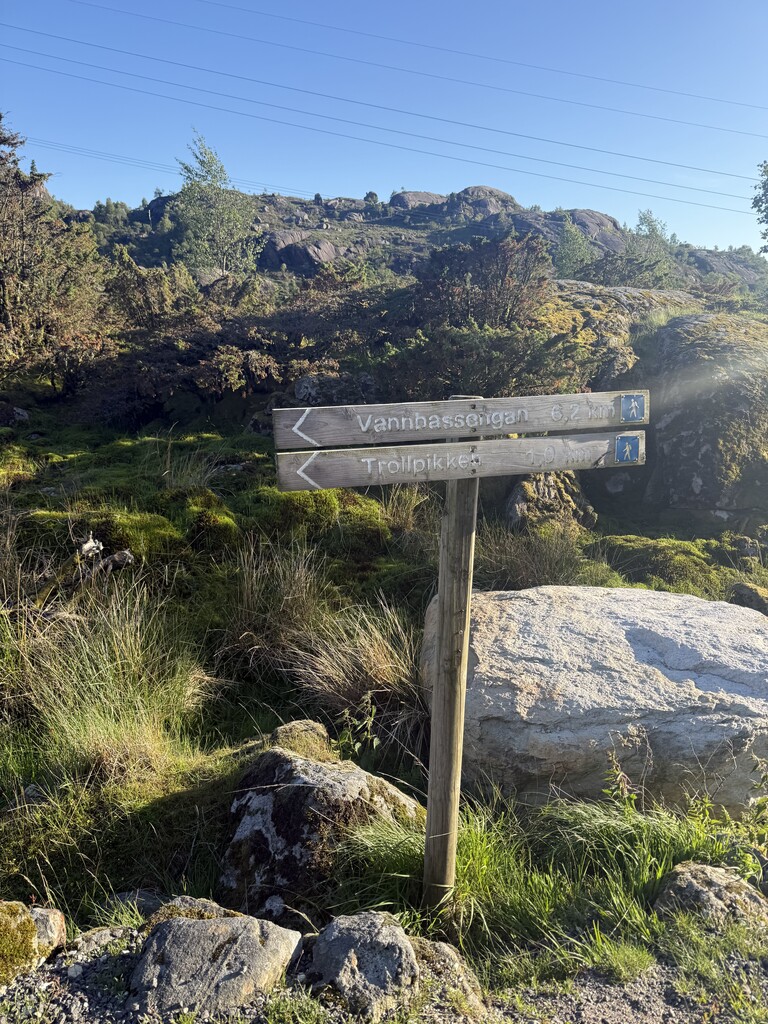
This route follows the old dirttracks, trails and roads connecting small villages across the valleys and mountains in the southern parts of Rogaland. The region is called "Dalane", litterally meaning "the Valleys". These trails were used by people and animals in the old days, and today it varies greatly how easy it is to spot the trail - from invisible marks on the ground to tractor roads and gravel roads still in use today. Most of the route is on technical trails, with nice and varied terrain and nice views.
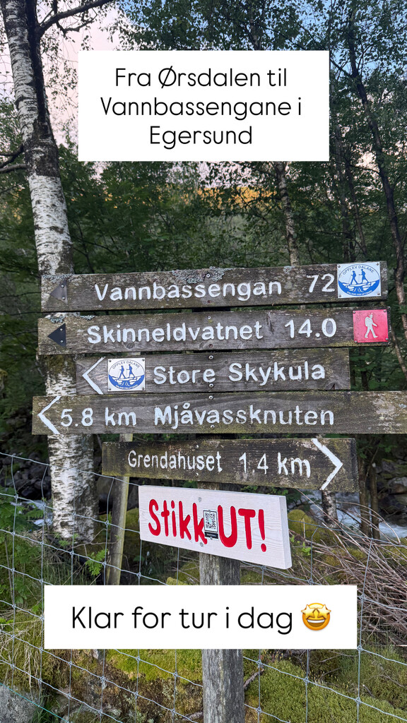
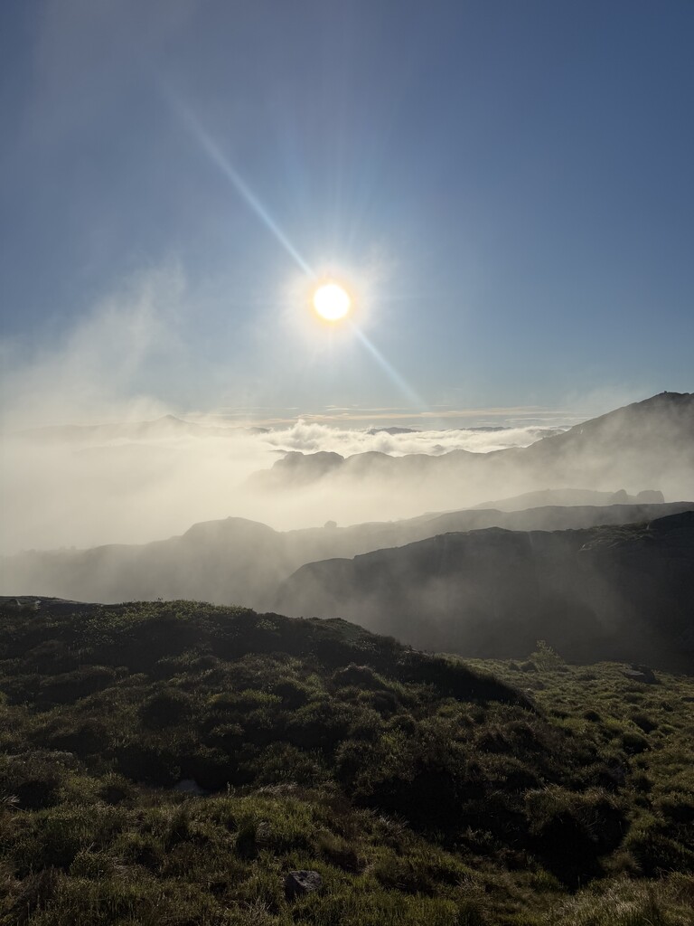
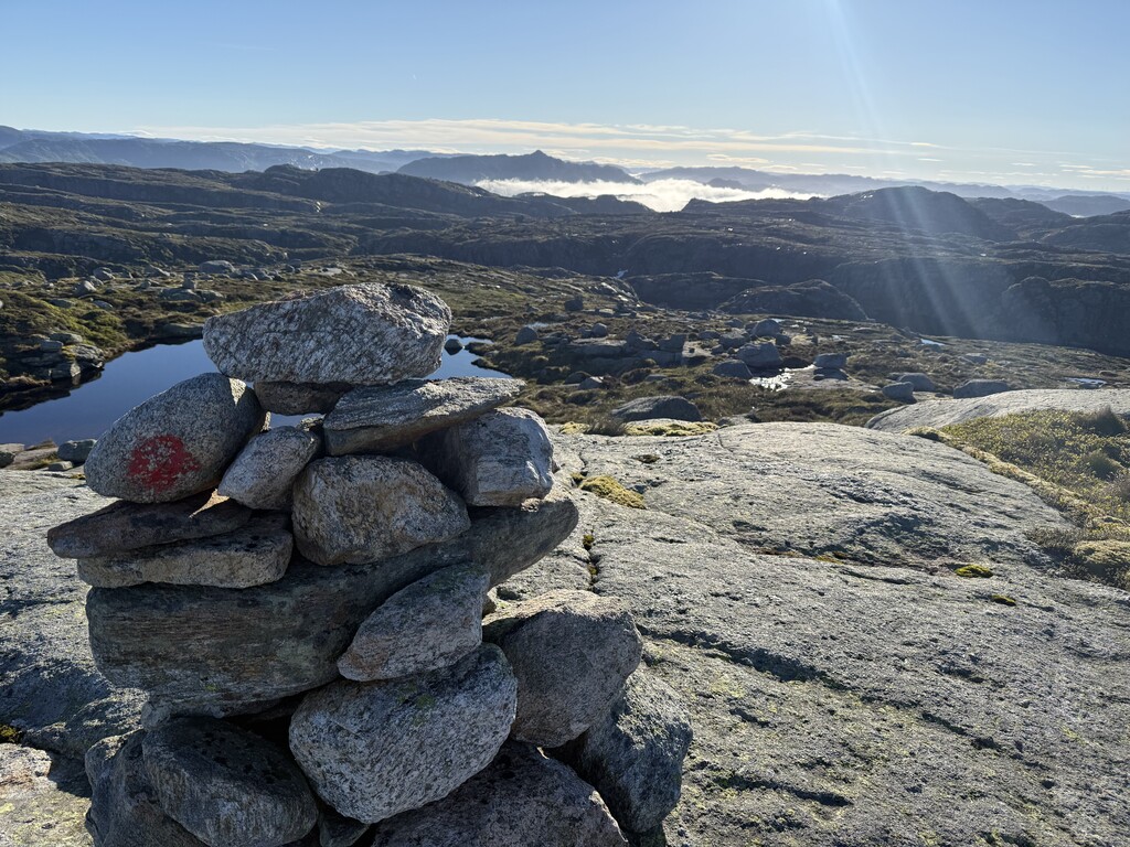
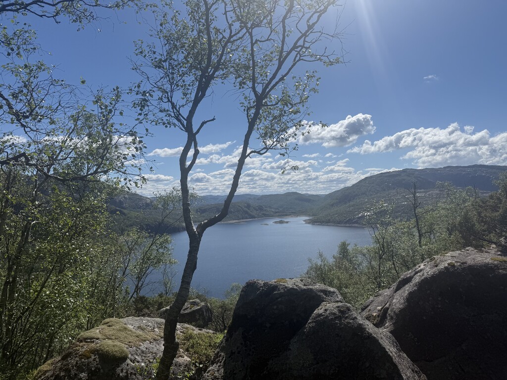
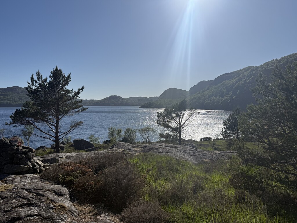
I startet early in the morning in Ørsdalen, where the mountains and hills meet the alpine areas further north. With a great climb at the start, we quickly enter above the tree line and follow the mountain Trælafjellet towards Skykula. Although not in the itinerary, I took the detour to Skykula to see the view from the highest point of the trip with 906 masl. The detour was just 400 m off the route, and the view is great, but the peak is a bit disappointing with radars and construction activities just below.
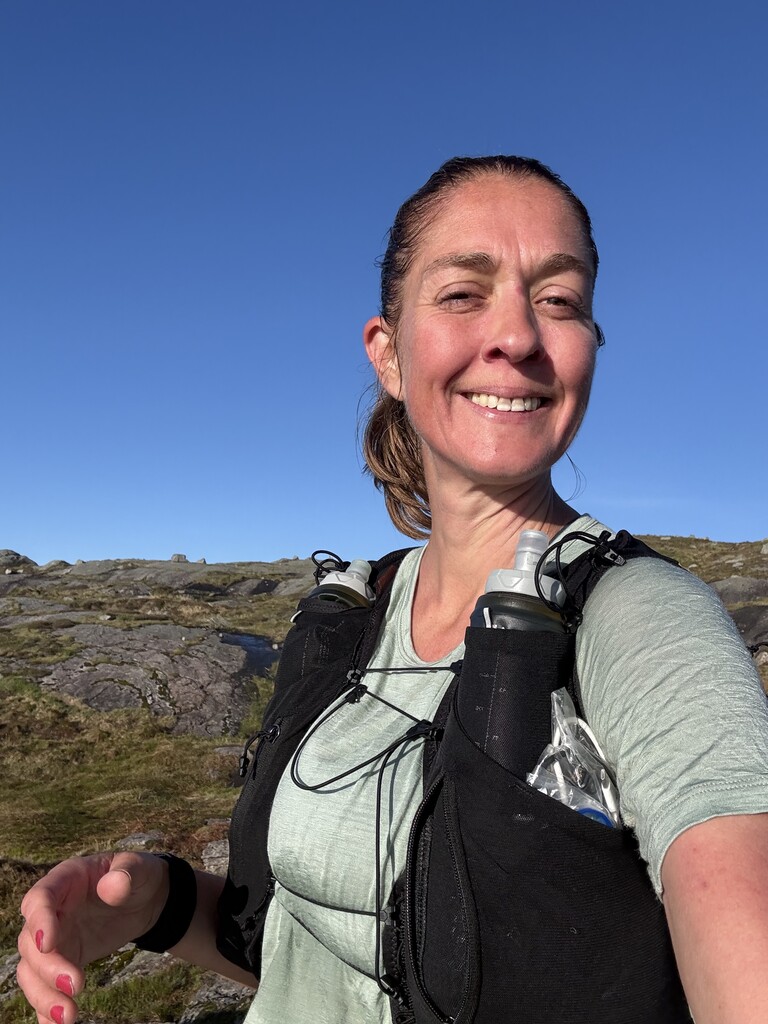
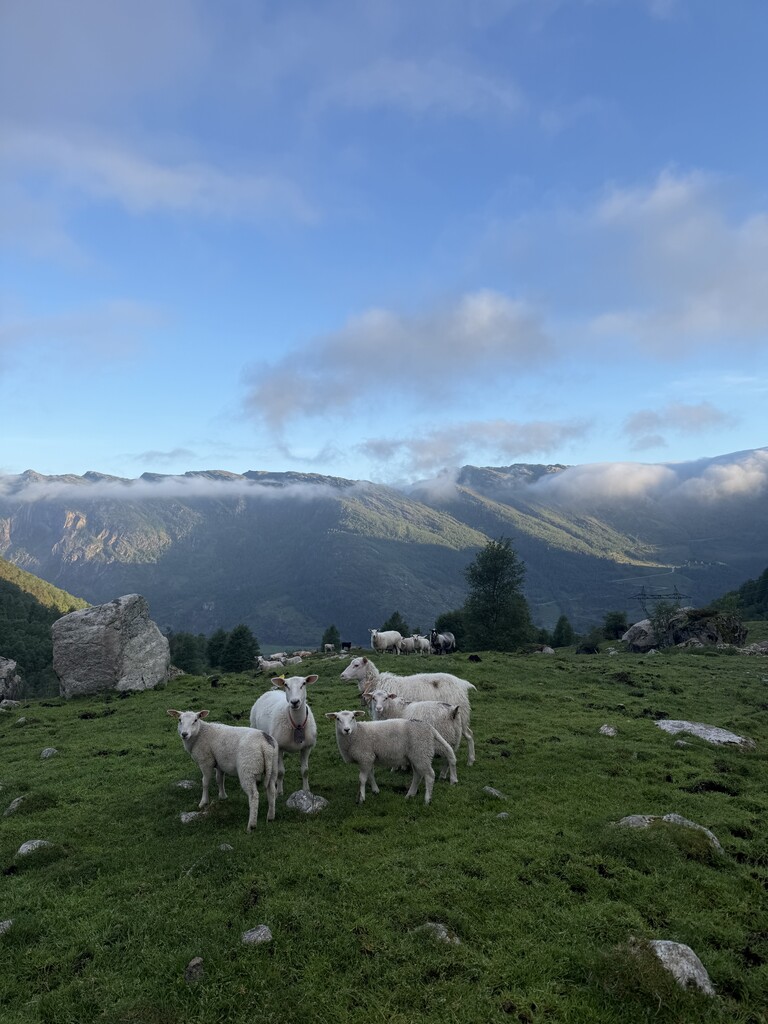
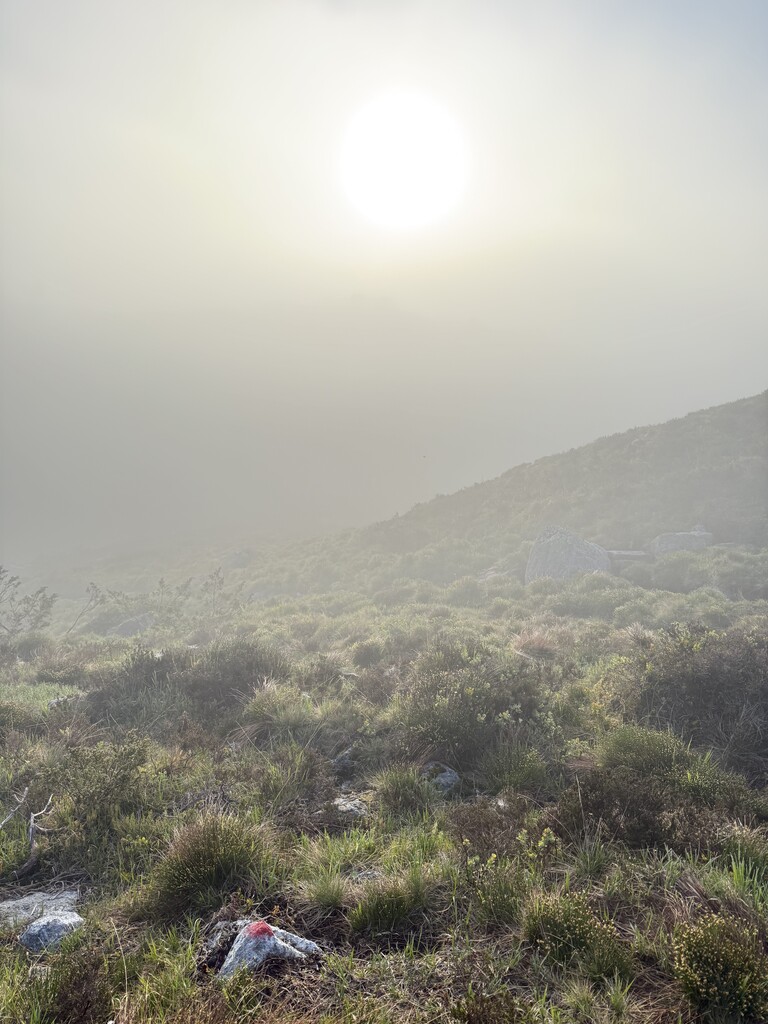
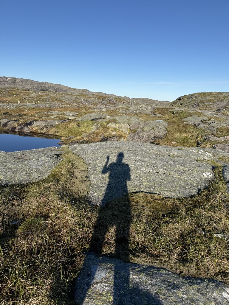
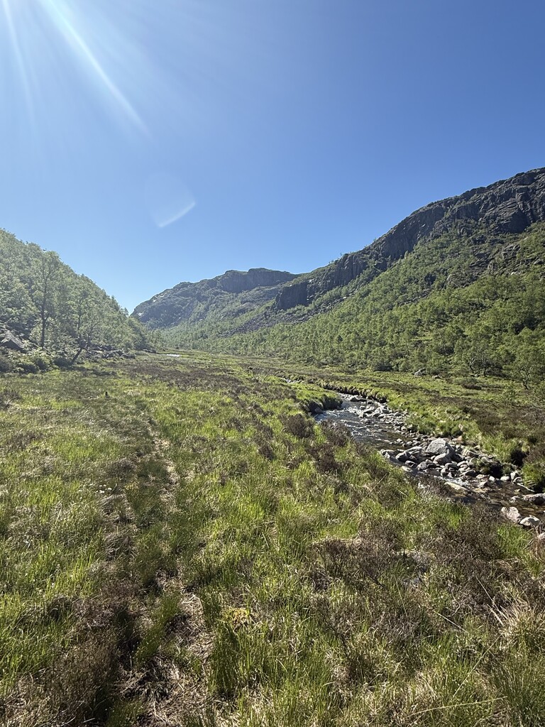
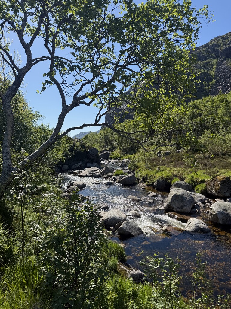
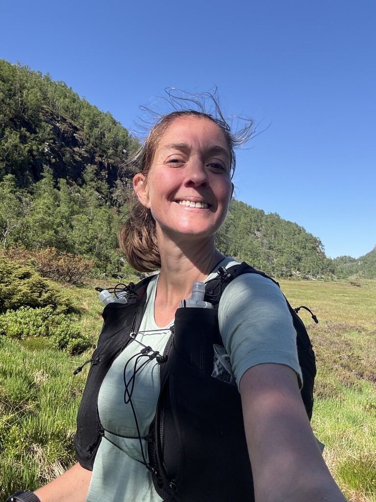
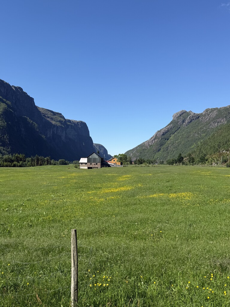
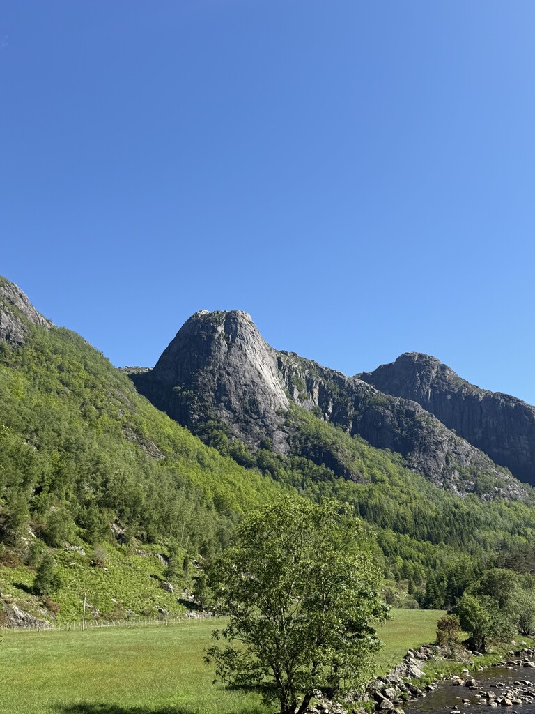
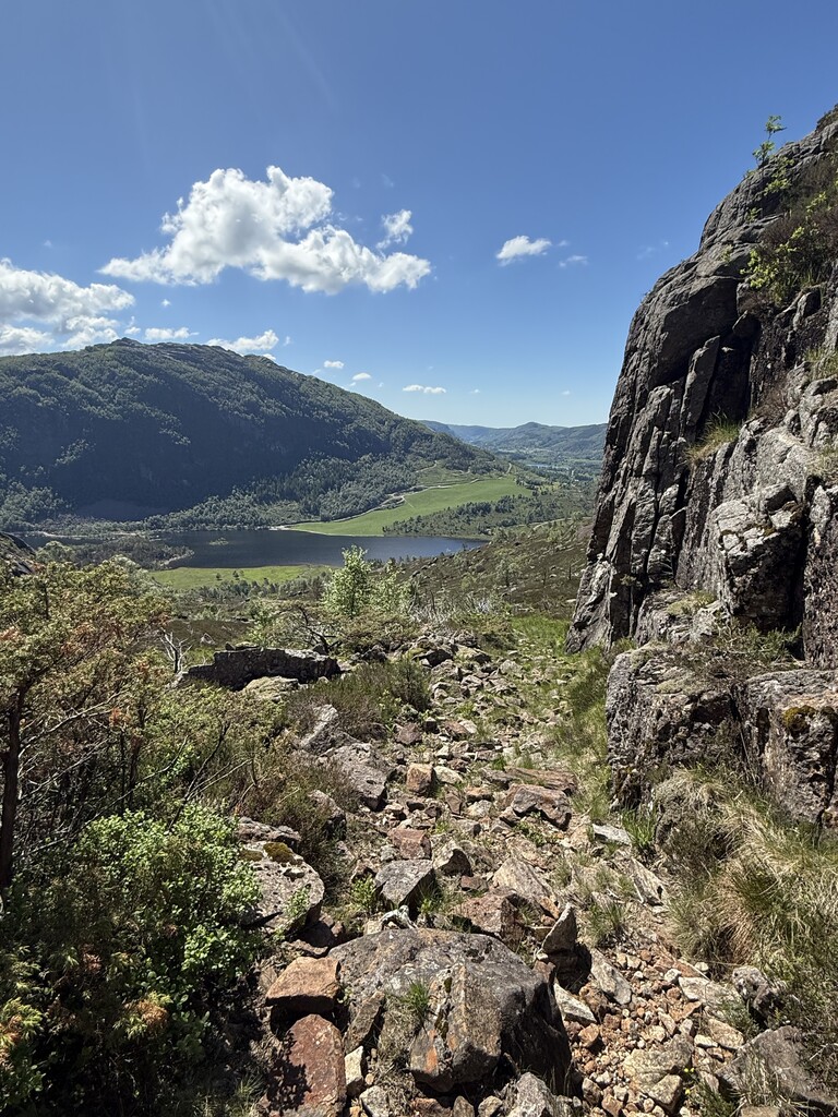
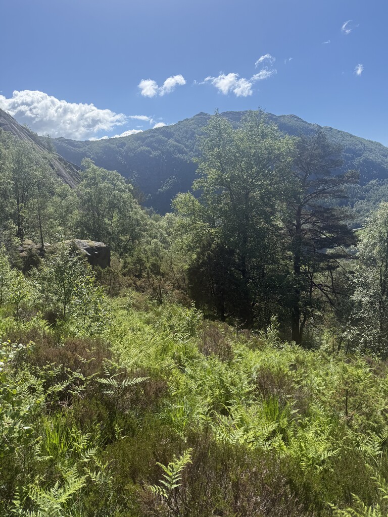
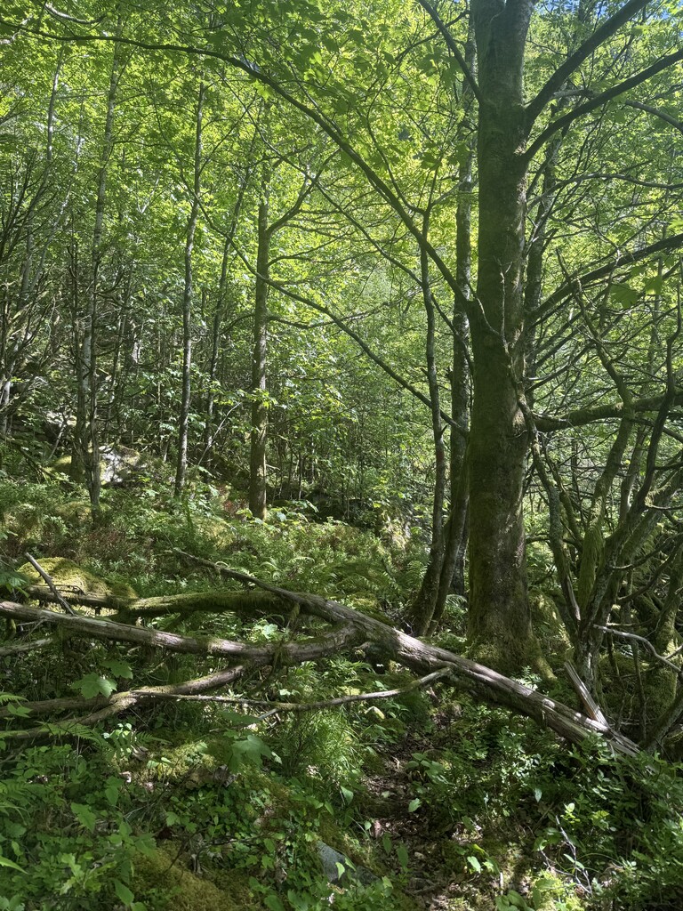
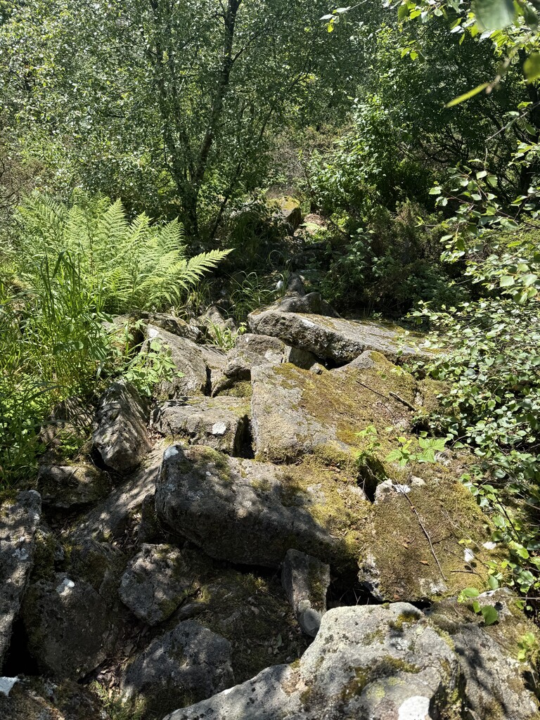
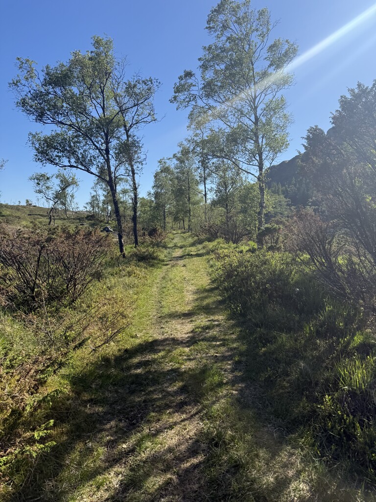
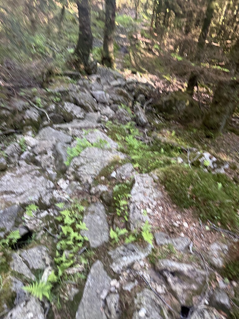
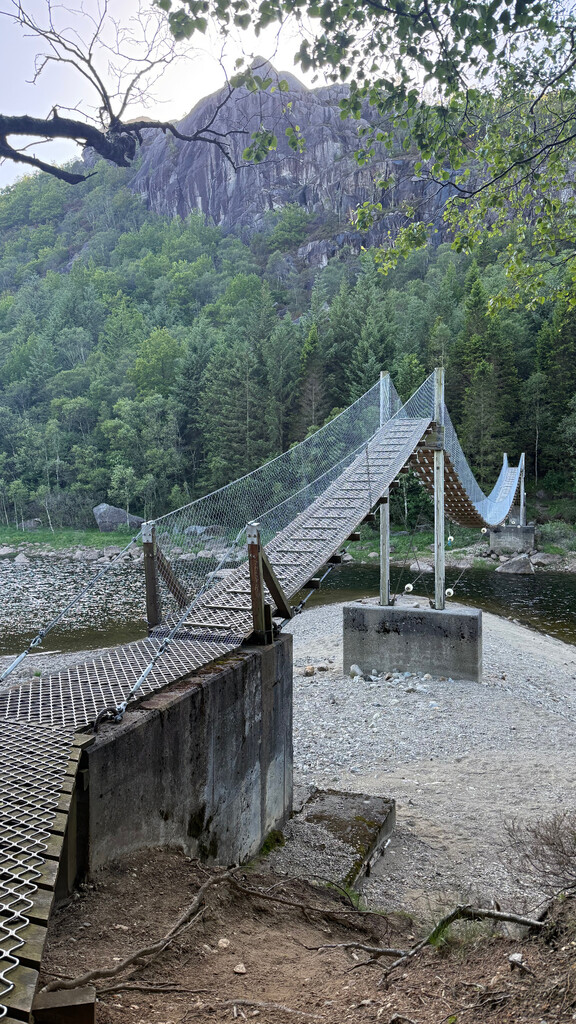
With no wind, full sun and almost 20 degrees C I was in for a hot and beautiful day crossing following the climbs up the hills, passing through rocky heaths, and steep decents to the well kept farms in the valleys, passing by lots of sheep and some small villages along the way. As some of the trails are a bit remote quite a lot of times I found myself looking for the missing trail backtracking and trying to spot som invisible markings on the trees and on the ground. The most memorable places were the high mountains, the trail passing directly on the rocks in the water and the nice views following creaks and streams up, down and along the flowing water . As the trail can be quite technical, the first parts take quite some time to pass and the gravel roads at the end is a welcoming way to speed up and get some faster kilometeres. The heaths, the moors, the birch forest and the moss dressed rocks in the dark spruce forests gives a nice variety through the landscape. With lots of beaultiful places, covering more than 70 km from summit to sea, I can recommend the trip to anyone who wants to explore more of the southern regions in Rogaland. I did the trip unsupported, and although passing quite a lot of animals and farmland, it is easy to fill up the water flasks with running clear water which made it easy to get enough to drink also in warm weather. I started early enough to catch the evening train from Egersund train station.