MULGUMPIN ISLAND – FKT – 11:21:24 – 28/10/2022
Firstly I would like to acknowledge the traditional owners and custodians of the land of Mulgumpin (Moreton Island).
I missed being the first female and unsupported, by two weeks – well done Robyn Robertson! Go #womenwhofkt !
Planning:
I started thinking about this run in 2020 after Lee McNulty (my friend Ashleigh’s husband) completed the circumnavigation.
I had spent many hours planning the best start and tide times and to run anti-clockwise due to the Western Beach being difficult at high tide. However, the Main Creek/Heath Island area in the north of the Island had recently broken its banks again and was completely impassable at high tide. After some last-minute emergency planning I decided to complete the route in the opposite direction.
The Island has several public water locations made up of water spears and water tanks. The advice from local rangers was that all water should be boiled/filtered to reduce the chances of E. coli.
The Run:
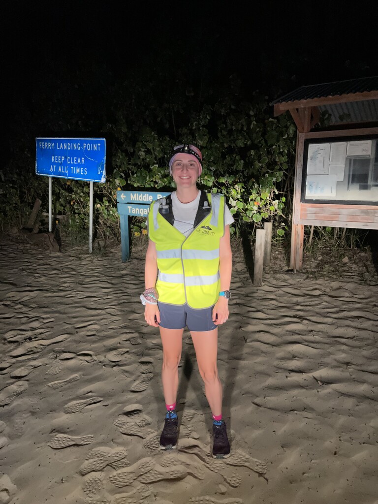
I started from the vehicle landing area near the Wrecks at 1:50am on Friday 28 October 2022 to combat the heat and the tide. It was darker than I expected but I had a decent head torch so settled into a good pace. I got to the Main Creek/Heath Island area around the 19km mark and safely crossed the creek.
Not long after I made it to the North Point Campground where I re-filled my flasks.
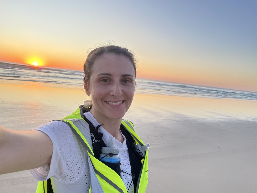
I then followed the track out of the campsite to the Eastern Beach to one of the most magical sunrises of my life. (See photos).
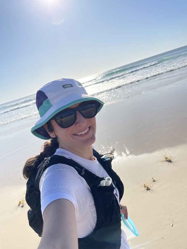
At the 32km mark I had made it to Blue Lagoon and I filled my flasks again. I had to stay on top of my hydration due to the heat.
At 51km I hit the Rous Battery and filled up. The sun was warm! I was making good time though as I came through the 50km in 5:30.
Then came my first issue, getting around the fallen trees near Reeder’s Point to get to Kooringal. It was tough, sometimes I was on the dunes, sometimes scrambling over trees and sometimes in the newly formed bypass track on top of the dunes as the waves were hitting the dunes. I was still trying to keep my shoes dry – little did I know of what was to come. I also realised the distance I had to the next water stop seemed to be a bit out. A quick text message to one of my run buddies – Paul Hains – sorted out the distances and saved me from a total melt down. Thankfully I found a water tap at the Kooringal public toilets. This allowed me to refill my flasks to make it to the Big Sand Hills and the next planned water stop.
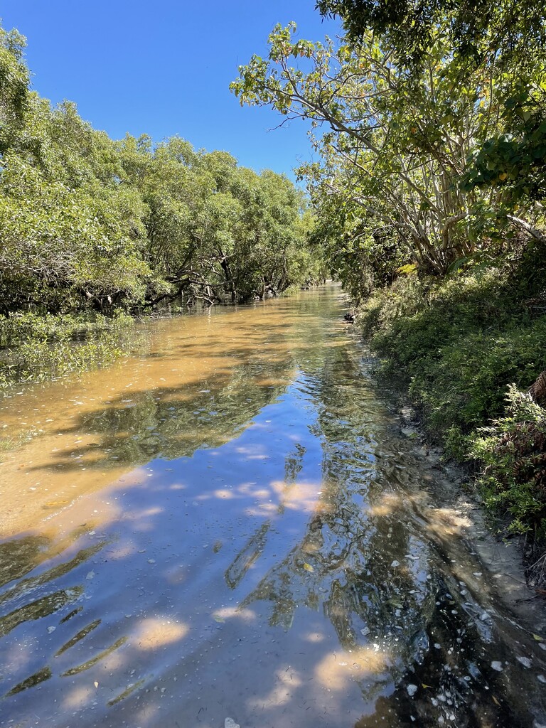
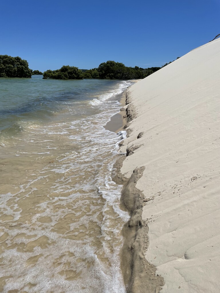
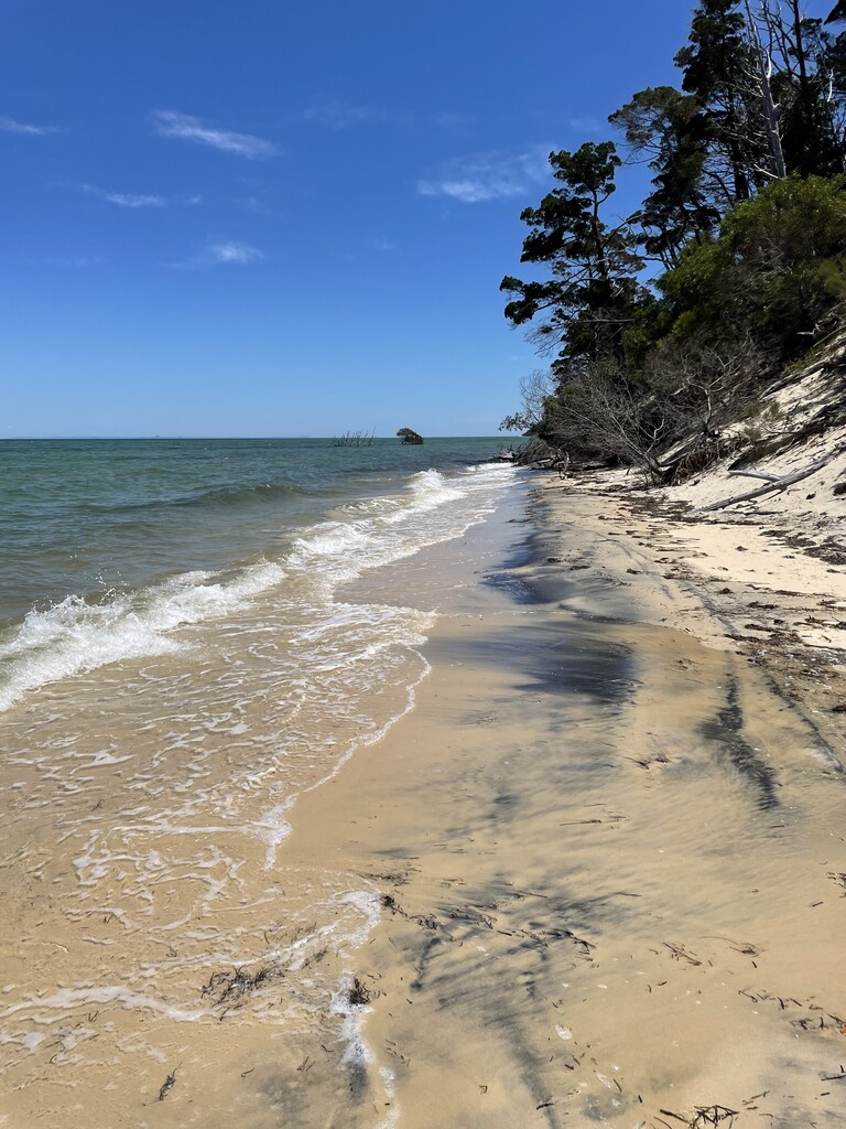
After Kooringal there is a lovely shady track until you get to the beach, except in places this track was full of water (it runs beside the Mangroves). The water was about knee deep, so this slowed me down significantly. There was also a mud crab that may or may not have tried to eat me! When I finally made it to the beach, I was devastated to see there was no beach. The perils of the high tide! (See photos).
It was really slow going from here until the finish line. Lots of trees have fallen in and a 2.11m high tide meant I was in the water getting around the trees as climbing over them was no longer an option. The water depth varied from about knee depth to waist depth. I had joked previously about taking a life jacket, maybe I should have! To put this into perspective it took 6 hours to cover the last 37km when I made the first 50km in 5:30. The difference of a low and high tide.
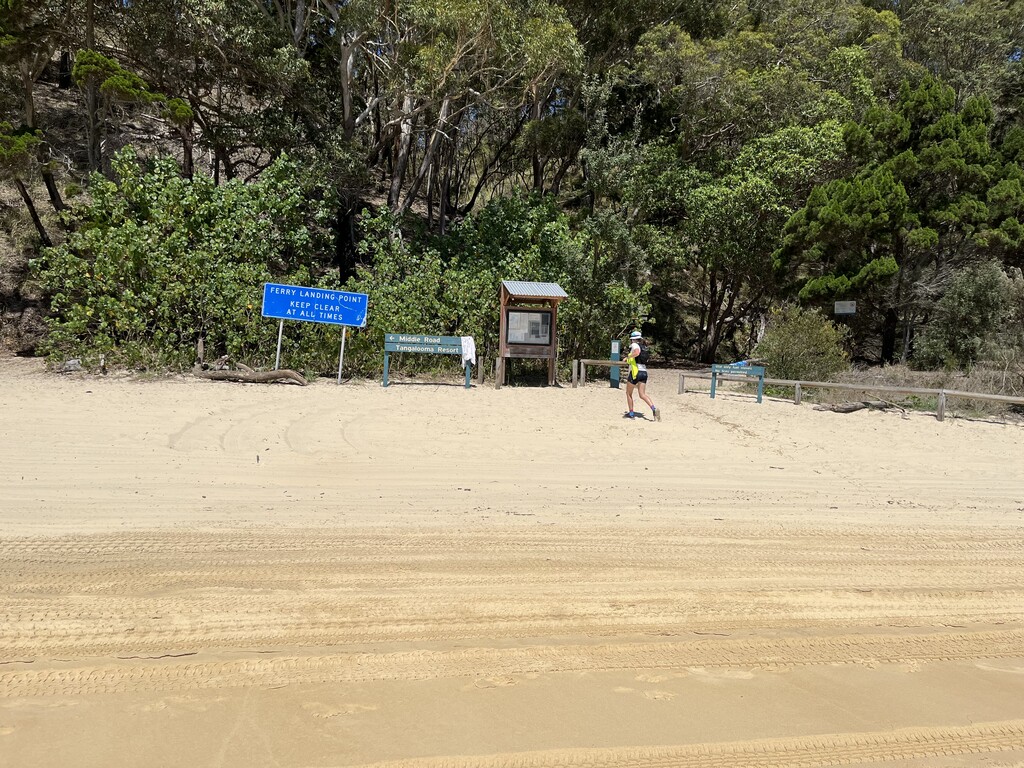
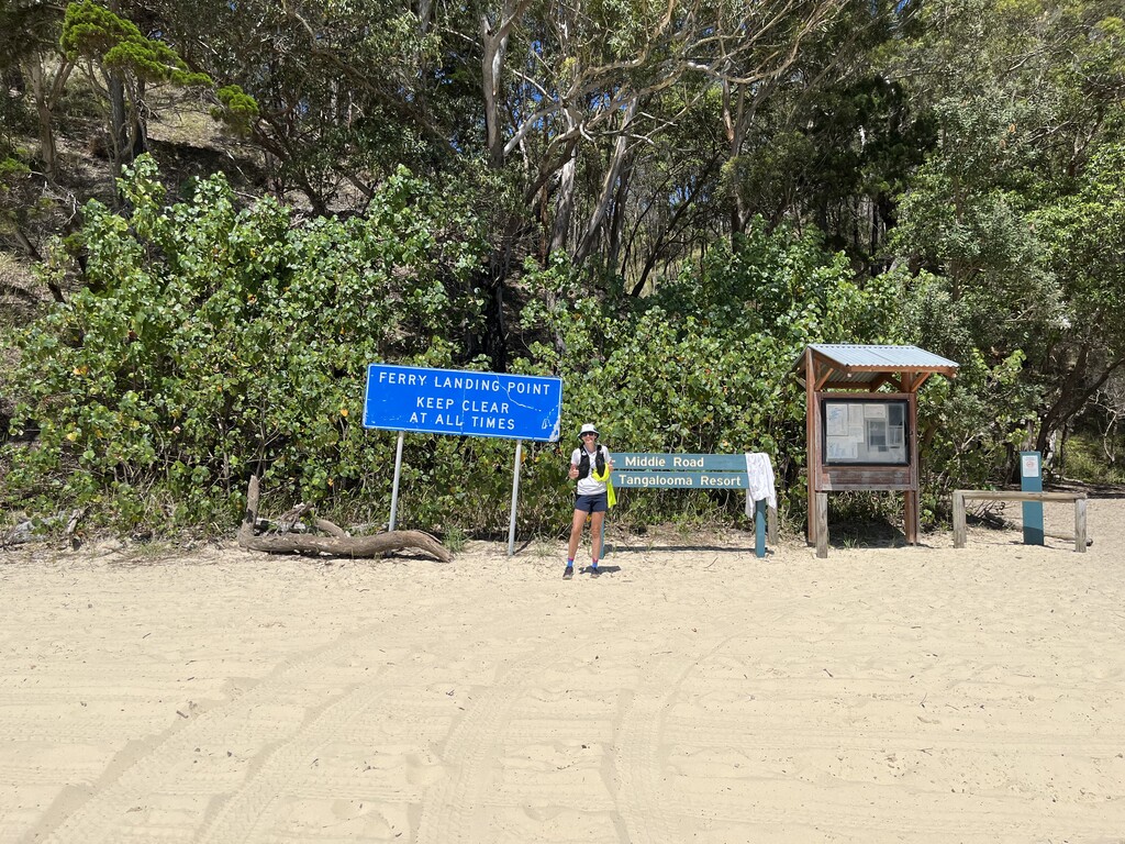
I was incredibly relieved to see Tangalooma resort come into view once I had made it around Tangalooma Point.
I am very thankful to have had virtual support from my husband, Team Tuton (I can still hear PUSH THROUGH in my head Shahn!) and Paul Hains – mapping extraordinaire.
By far my toughest run to date but what a magical place to go for a long run!