

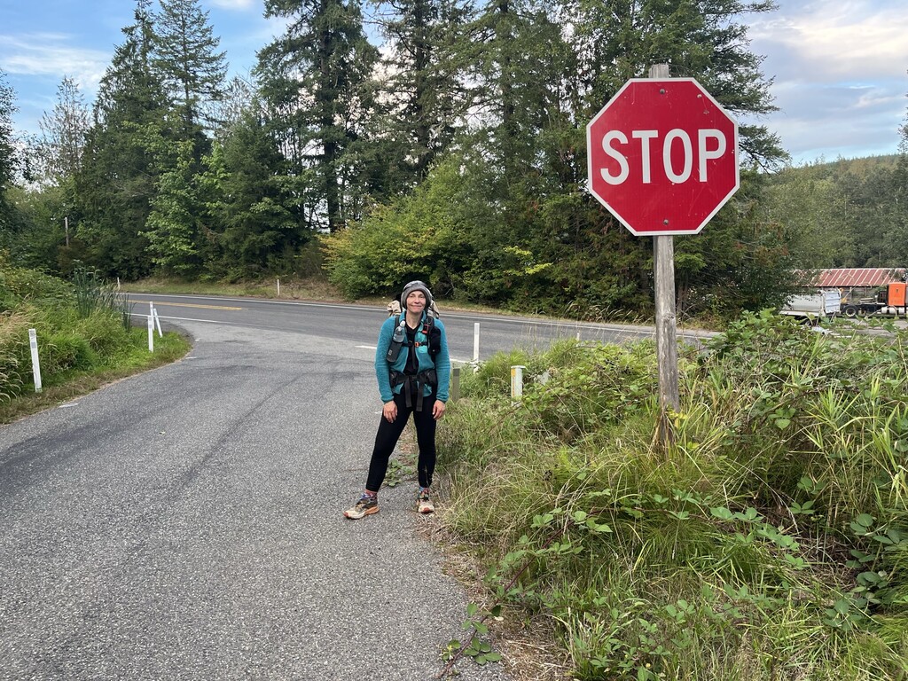
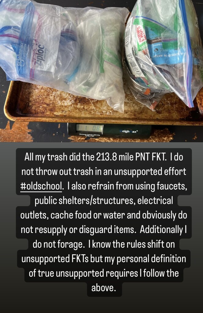
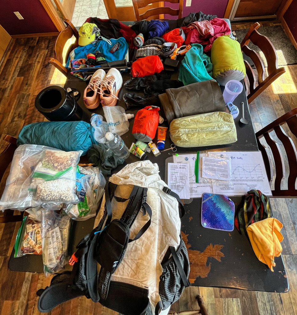
*The purpose of this Finest Known Time was to 1) establish route that thru hiking PNT athletes could easily participate in, 2) add some load to my own event schedule preparing for next year's 1000 mile unsupported world record attempt and 3) exploration one of our national scenic trails.
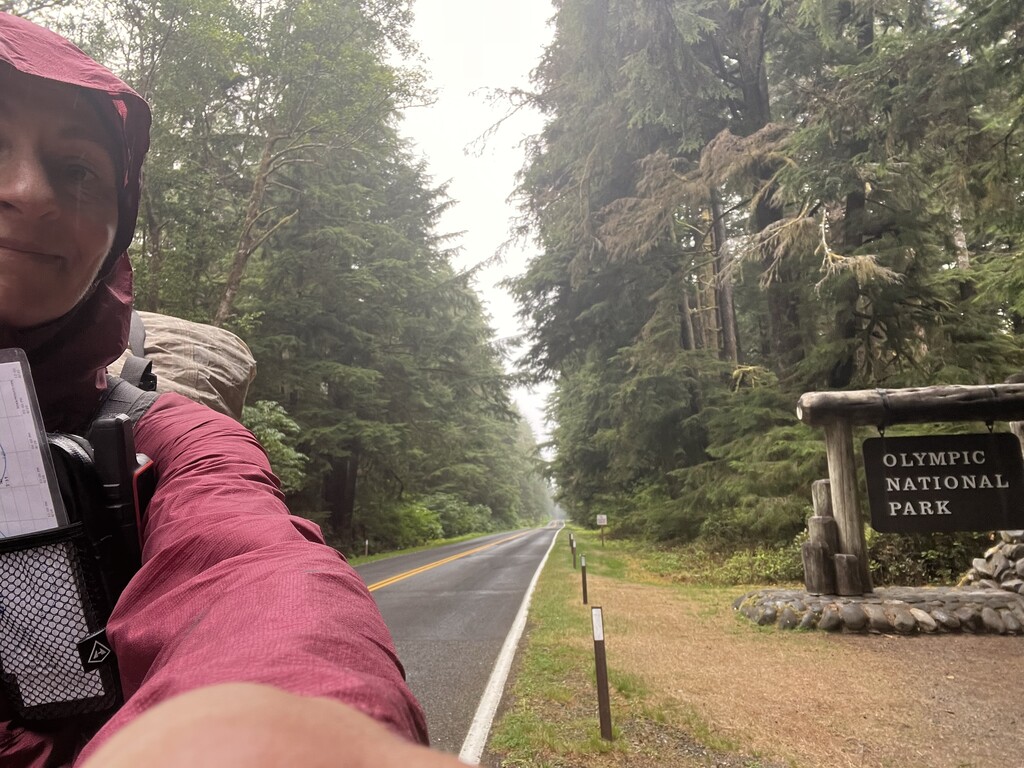
Day 1: 16 miles plus 3-mile hike in from Lake Ozette.
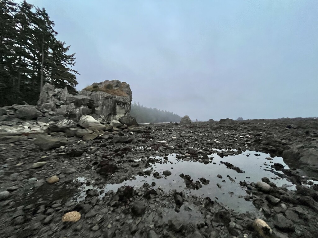
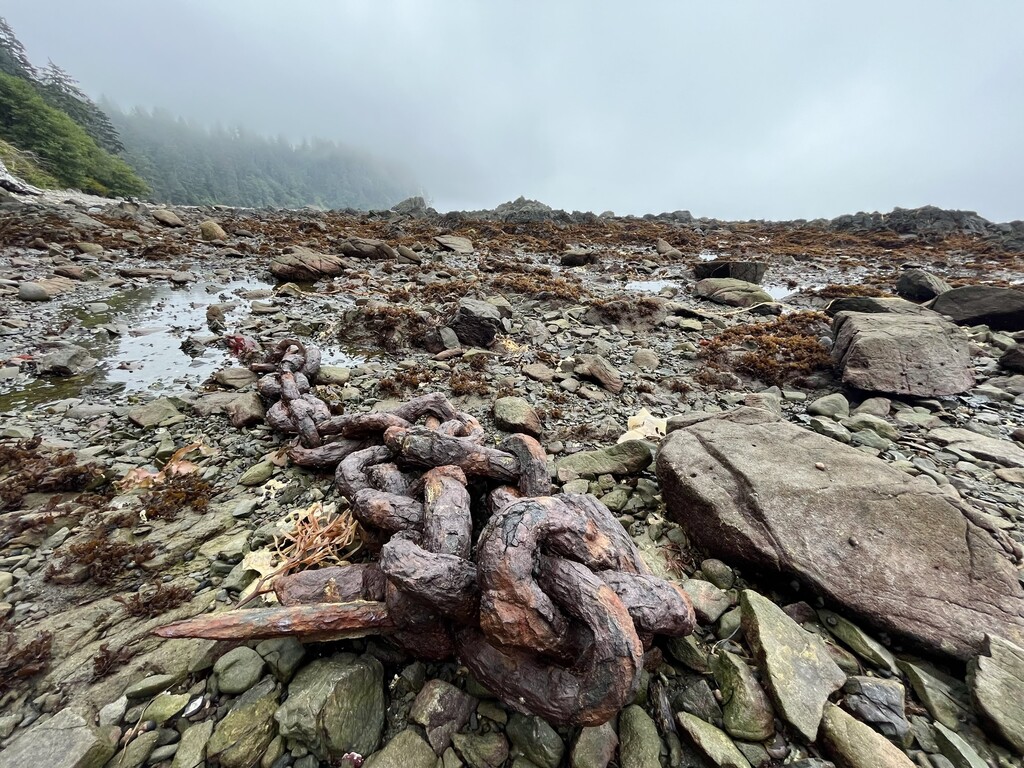
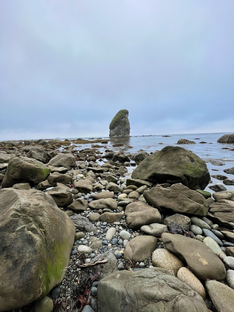
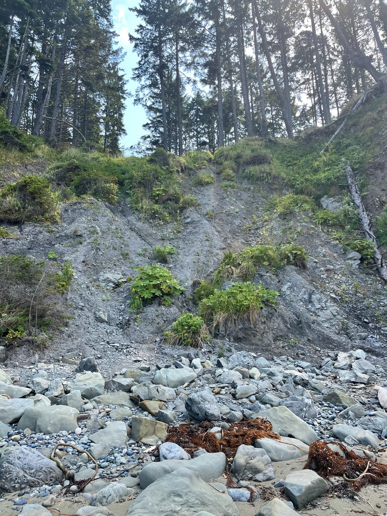
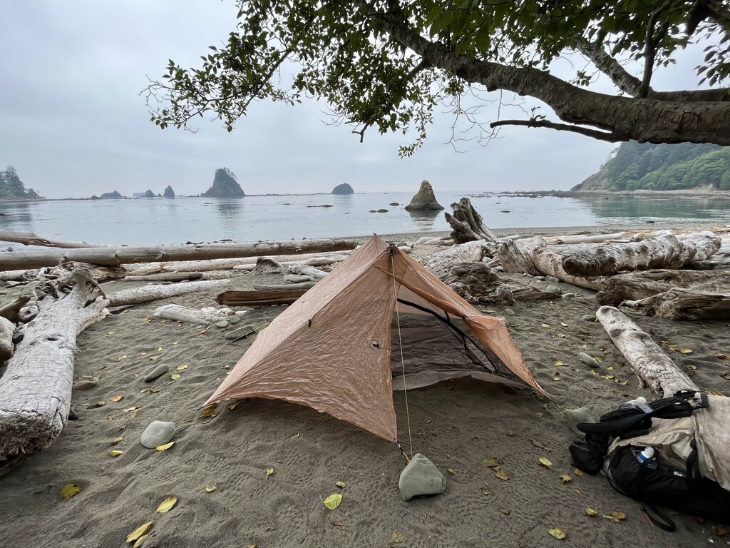
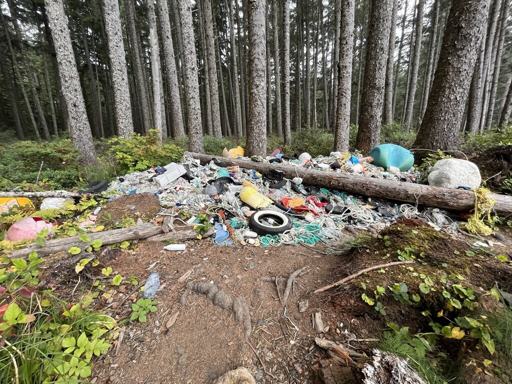
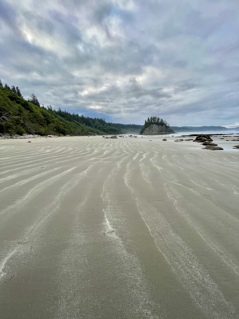
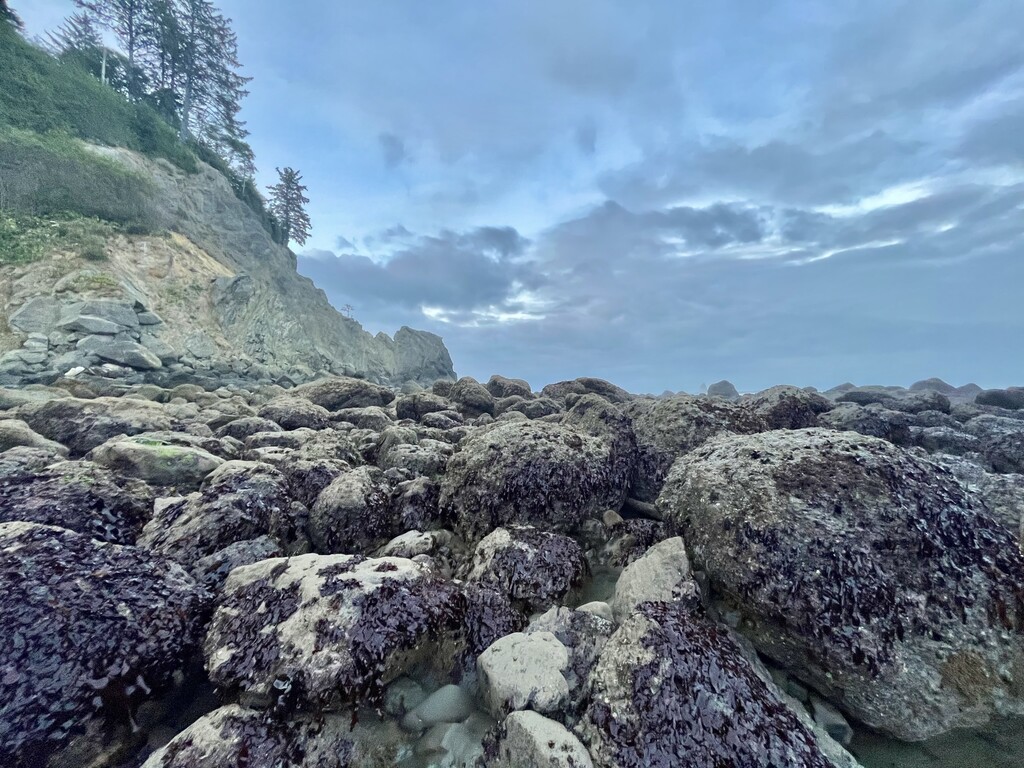
I encountered a bear within an hour! The day was filled with miles of insanely rugged yet beautiful coast and overland trails. Tide restrictions limited my movement somewhat. The vessels offshore were very loud. Starting time was around 5:55 am from the western terminus of PNT, Cape Alava. I finished off the day around 3:30 pm at Chilean Memorial Camp. Starting pack weight before water: 31 lbs.
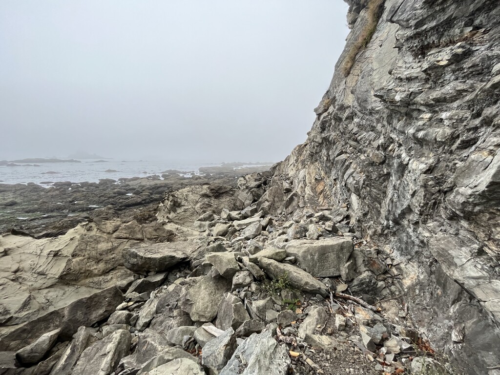
I did cut it close on one overland and had to run. I would suggest that anyone hiking or running this route abide by the suggested headland restrictions. The headlands can be lethal. The tide comes in extraordinarily fast. Be sure to use tide charts and note specific minutes in your tide windows for each of the 2, 3, 4.5, 5, 5.5 and 6 ft areas. The headland I had issues on was a 6 ft restriction and I didn’t have that tide window specially noted on my lamented tide chart. I was off by just a couple minutes and it was scary. I ran. I fell 5 times. Thankfully I am pretty good at extremely technical running but eek…I didn’t make this mistake again.
Day 2: 18 miles.
I cleared the northern beach and started hiking the miles of road at 9 am. I’m not fond of hiking on the highway! It rained and the giant semis on a two-lane highway were scary. For those doing supported or casual hiking/running on this route, you can hire a fisherman to take you across the river to La Push or hitch a ride on this road section.
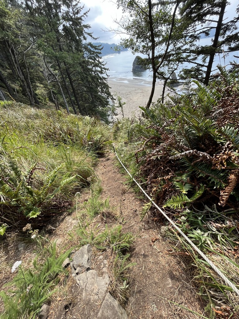
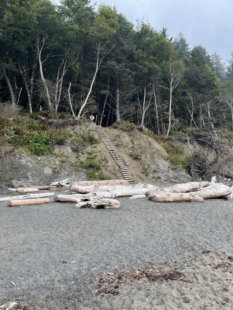
The mandatory overland trails after third beach were interesting with ladders. I was very glad it wasn’t raining and that I didn’t have a 50 lb pack on. I didn’t find the overland too difficult, but I love a bit of obstacle course racing. Other folks might not agree with my enthusiasm on these overlands.
Day 3: 7 miles to Bluff Camp.
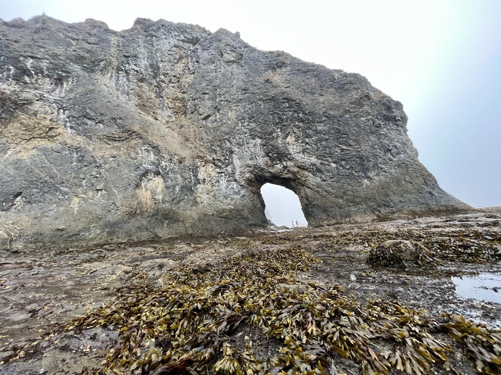
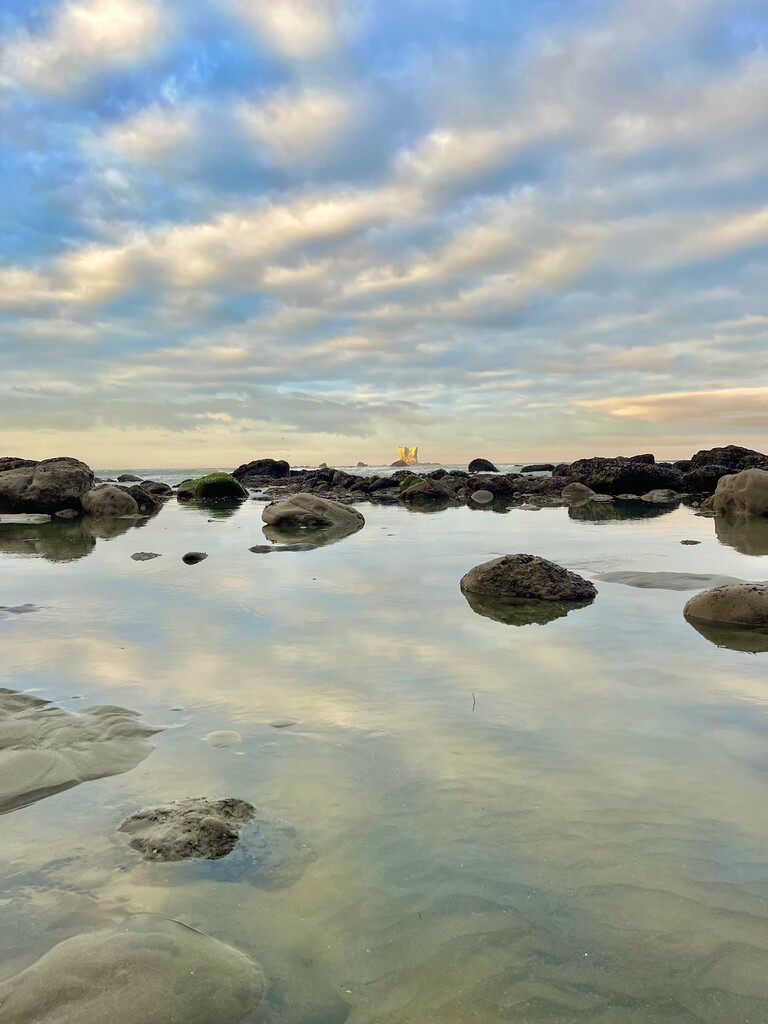
Diamond Headland has a 2-foot tide restriction for passing and the second low tide hit 2.4 ft. Boo!!! I was tempted to go for it but then again, besides being risky, I’d be going in the evening and wouldn’t make it any farther than the trailhead at the Hoh mouth. My idea of a fun time is not camping at a trail head! The PNT goes onto road thru private land for 18 or so miles after this trailhead and camping is prohibited. The campsite I chose before Diamond Headland was 0.2 miles from the beach in the woods. So many birds…I was essentially in an aviary! It took me an hour to adjust to being forced to rest but rest does wonders for athletes.
Day 4: 31 miles.
I started down the ladder to the beach at 6:15 am. The high tide the night before came within inches of the beach camp some hikers stayed at. I was happy I chose the bluff! Crossing through the critical points took 20-25 mins. I could see that a 2.4 ft tide would cause one to need to rock climb above the surf. I was thankful I didn’t try that the day before.
After clearing the Hoh river trailhead, it was road for the remainder of the 31 miles. Some creepy man attempted to convince me to get in his car, lying about where the trail was, dangers etc. I’d rather deal with bears!
The rain started around 6 pm. Finding somewhere to camp along this stretch is darn near impossible with all the private land. I finally found a river camp but the gravel was an issue for my tent. I used logs and rocks to get the Plexamid solid in the rain.
Day 5: 18 miles.
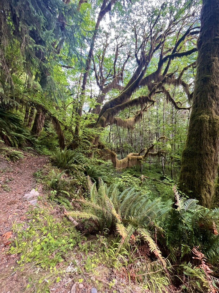
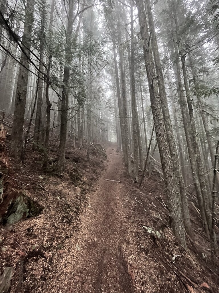
I made it to Hyak shelter camp area. It rained most of the day. I did see one trail runner at the trail head and one eastbound hiker at 2 pm but other than that, the trail was extremely devoid of humans. Lots of blow downs and overgrown trail slowed me down. I did Finally get a chance to wash my clothes in the river and dry out my tent. 4 days is WAY too long to go without washing my clothes, especially after that beach hike and stinky seaweed.
I was feeling off after lunch but managed to push on for a few more hours. I think perhaps the 453 mile unsupported FKT 2 weeks ago was catching up to me!
Day 6: 19.54 miles with almost 7000 ft of climb.
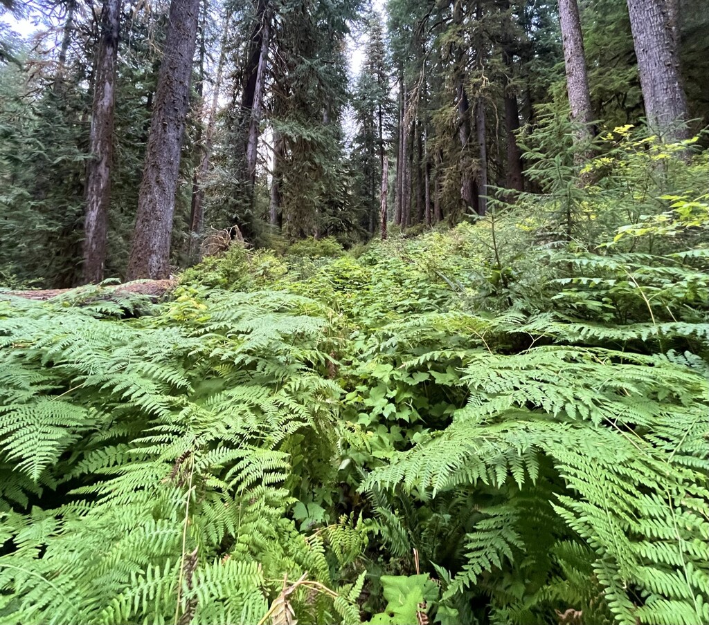
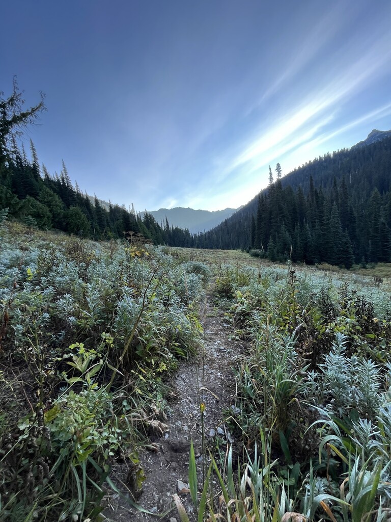
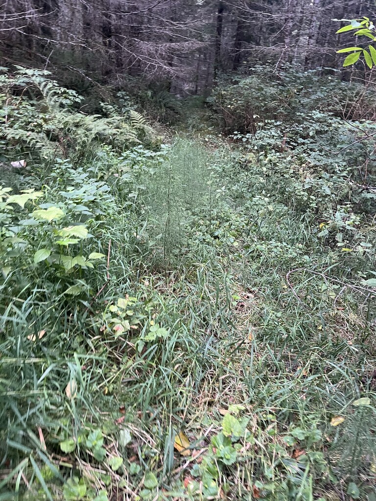
The day started out late. I overslept because the rain forest is so darn dark I didn’t wake up at my usual 5 am! Lots of bushwacking the first 5 miles. When I finally climbed up into the alpine zone I was so happy to see the sun. And it got hot too! There were lots of weekend hikers out near High Divide. This is one of my favorite day hikes. My daughter was 6 years old when we brought our four kids up here. Wow it’s been 6 years!
Embracing the finest known time concept I worked on my book whilst hiking. Decided to camp near a beautiful bridge at my normal 6ish time and start the climb up the next mountain in the morning after sleep. Food is limited but sleep is more vital for me than food. I ask a lot of my body and I respect it enough to know my limits. Functioning on 2-4 hrs a sleep IS NOT my super power. I’ve done many ultras and have had 4 babies. I definitely know lack of sleep. And I know I do better with 7-9 hrs if I want my body to recover and grow stronger from my efforts vs busted as F. So sleep I will.
Day 7: 23.5 miles to Humes Ranch.
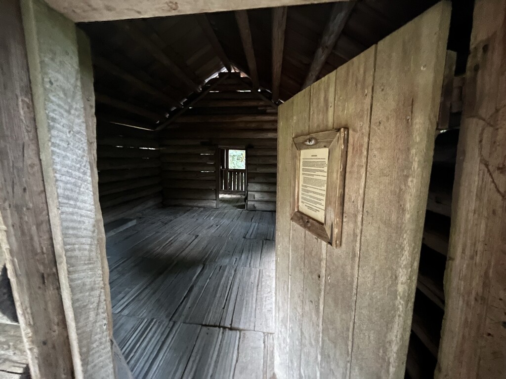
The day started with a 15% grade climb. Eventually I entered an area I’d hiked with a friend, Elwha river. I was amazed at the trail work that had been done since the last time I’d hiked here! I went 0.5 off the trail to camp at Humes historic ranch because I hadn’t seen it before. At this point I had what would normally be around 2 days worth of food left.
Day 8: 24.15 miles
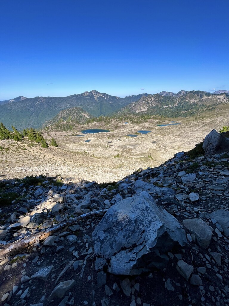
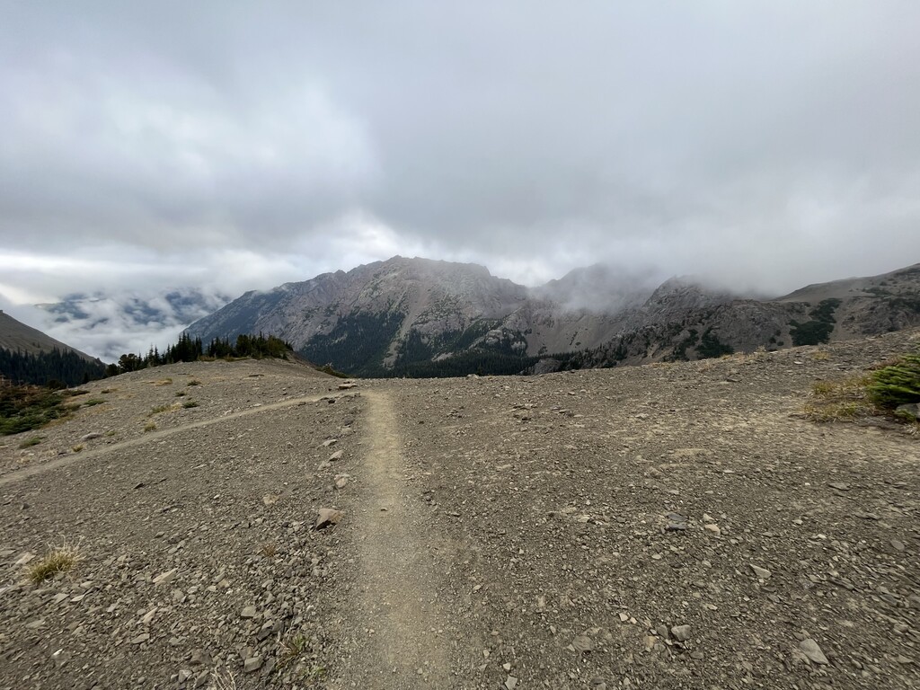
I cleared Hayden Pass after climbing all afternoon out of the river valley. Gorgeous fog greeted me at the pass. Events of the day include seeing only one other hiker (PNT eastbo) and 2 cubs plus mama bear.
Day 9: 7000ft 25 miles
I started off at around 7 am. On the walk down the mountain there were 3 people at Dose Meadows camping. I saw no one else the rest of the day!
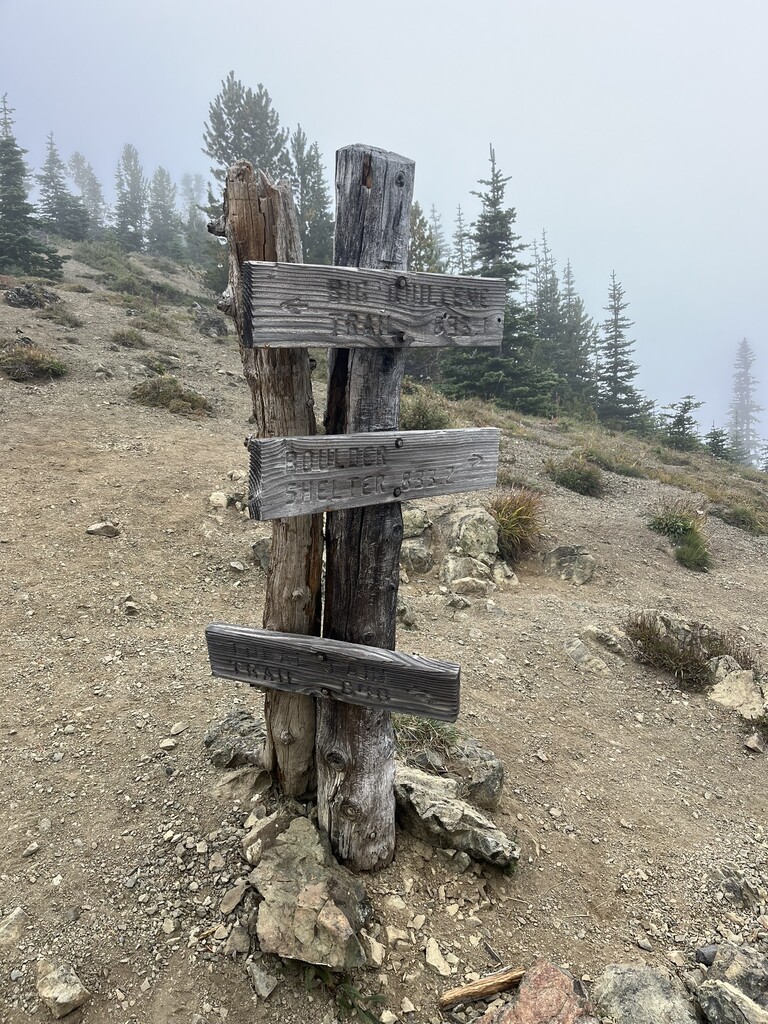
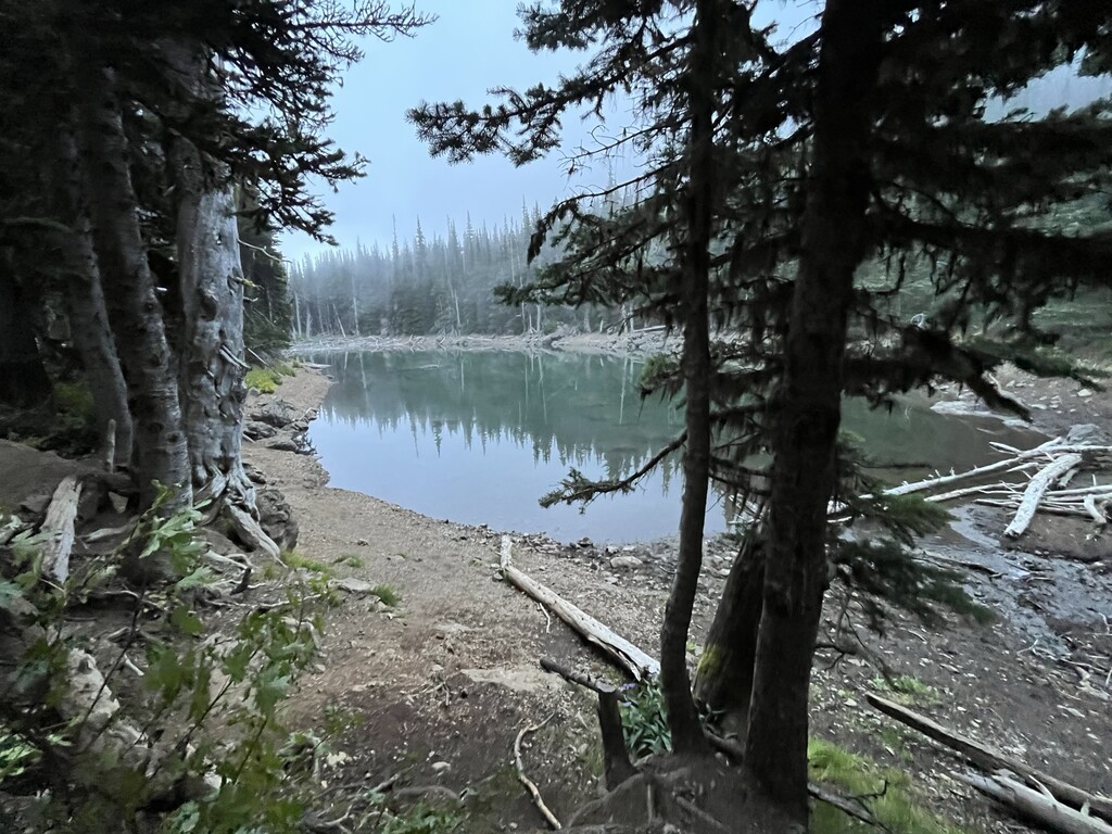
The climb up mount Constance was a bitch and included 30% grade for miles. I’m so grateful it wasn’t raining because the trail would have been a river. Although I’ve done sky races and hiked thousands of miles, I still felt relieved to clear that pass. Marmot pass was nothing after Constance! I ended my day by hiking down to Buckhorn Lake. What a maze of trails there! I had a couple protein shakes left…
Day 9.5: 31ish miles
The trail was in wonderful shape down through Buckhorn Wilderness. The climb up Zion was minor but the fall back down was huge! Loads of road greeted me after that then bushwhacking on overgrown road. Finally, I finished off on 101. Apparently, I didn’t realize I was on 101. I hiked about .3 miles down the road when my husband drove by me. There is a hamburger joint down there and I was going to it lol! I guess I get extra credit on this route 😉