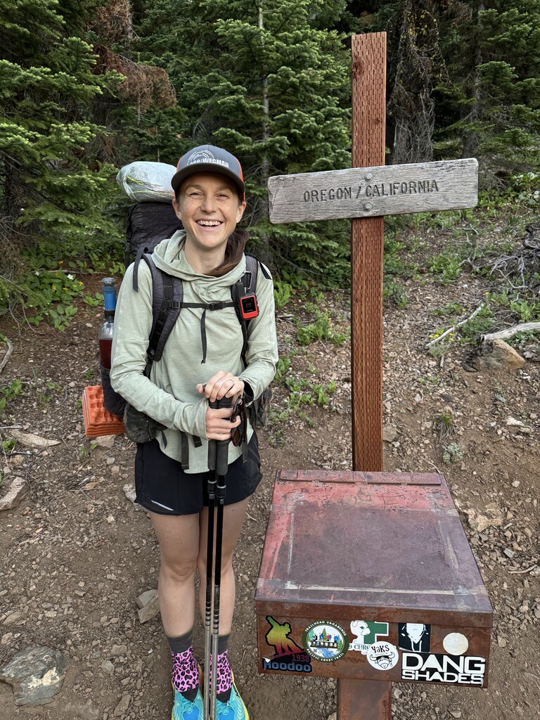

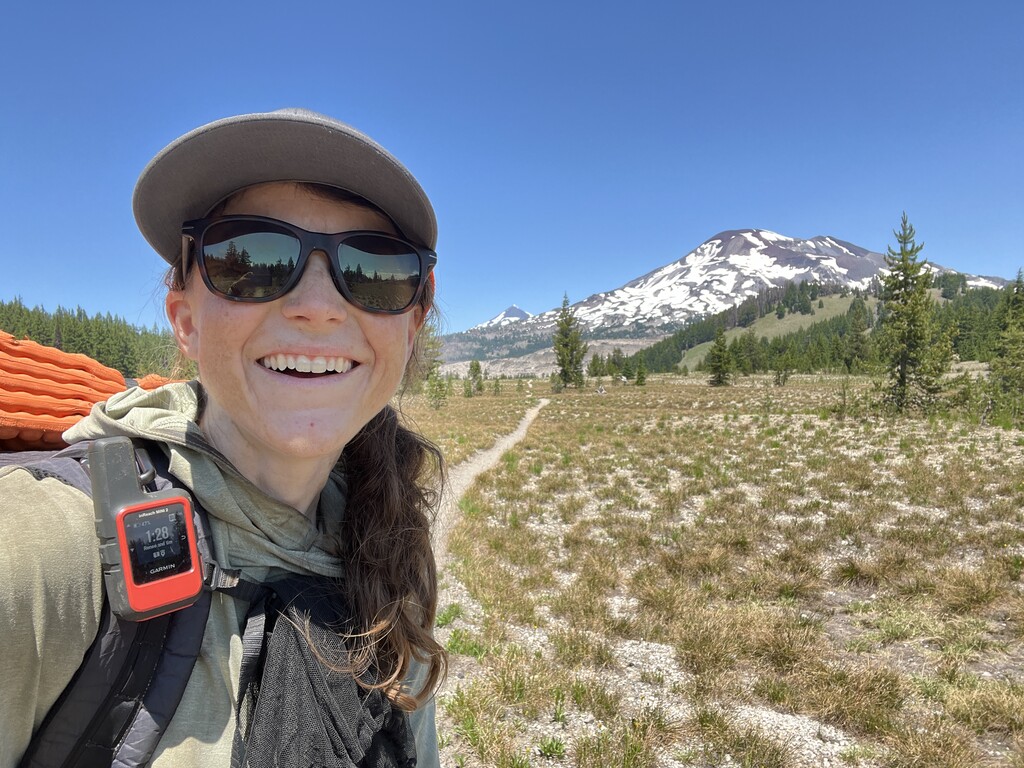
Day 1 - OR PCT Mile 24.8
I started at 5:52am from the CA-OR border. My backpack weighed 38lb, including all my gear, food, and 1.5 liters of water. The weather forecast was predicting a heat wave for the next week with highs over 100 degrees Fahrenheit. I was nervous about the heat wave and early season conditions like snow and blowdowns. It was a challenging day with the heat and heavy backpack. I ran into three patches of snow and about a dozen down trees over the trail.
Day 2 - OR PCT Mile 52.7
Today was another hot day with some long water carries, and my backpack felt very heavy!
Day 3 - OR PCT Mile 78.4
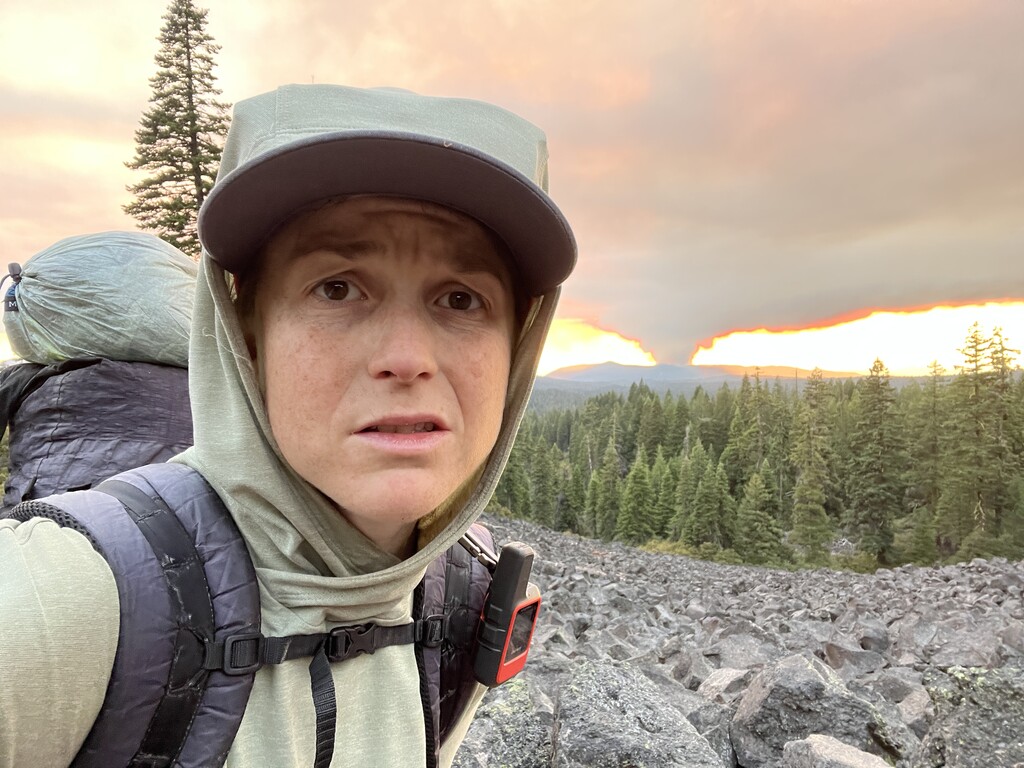
Most of the day was hiking through the forest, which was nice because it got hot again today. This evening I got to the lava fields. They were a great break from the forest and evening was the perfect time to get there because they are very exposed. From the lava fields I noticed the sun looked weird. As I kept watching I realized there was a fire burning to my west. Ash was even dropping on the trail.
Day 4 - OR PCT Mile 104.3
I woke up smelling the fire and saw more ash on the trail, but I didn’t see the fire this morning. Today was another dry day with over 10 miles between every water source. There were lots of blow downs today, which definitely slowed me down.
Day 5 - OR PCT Mile 132.1
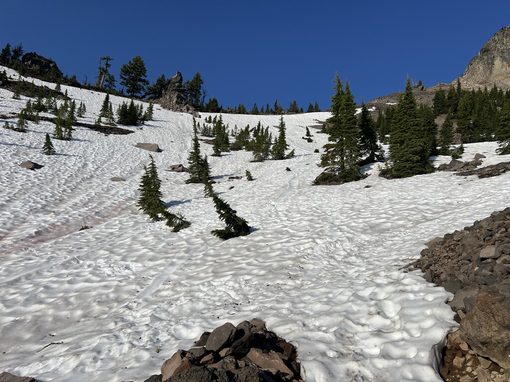
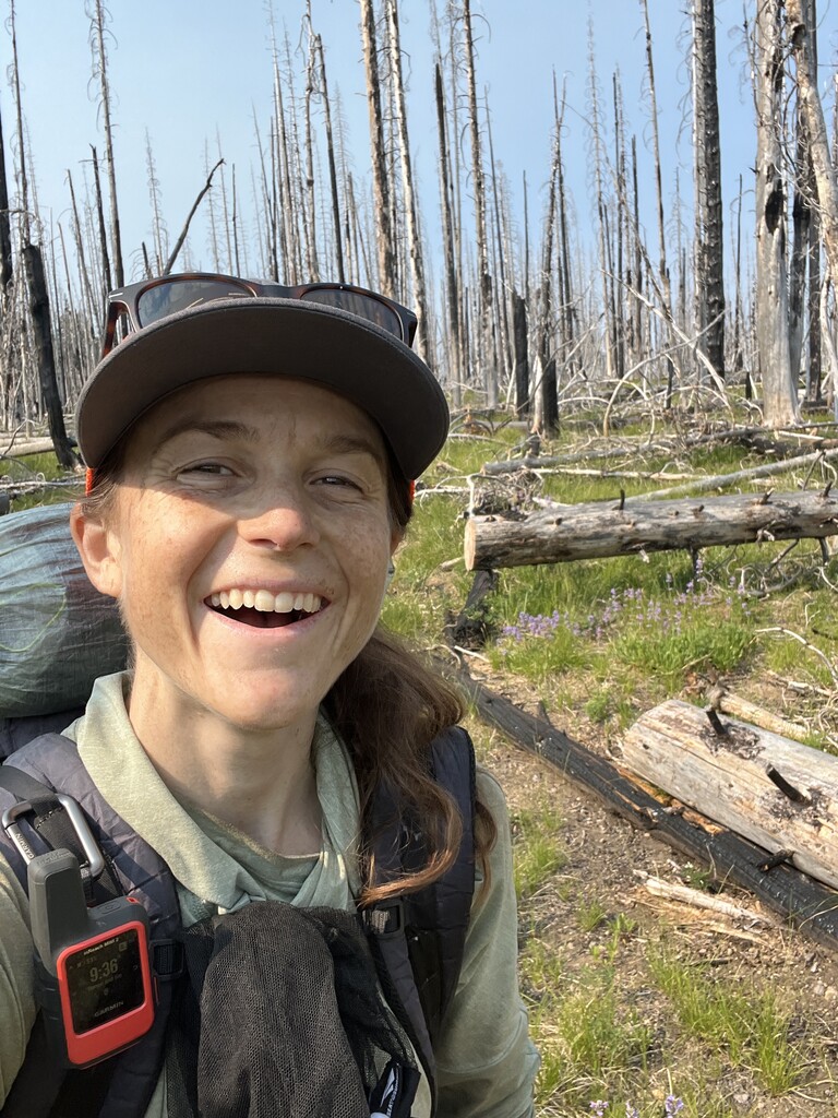
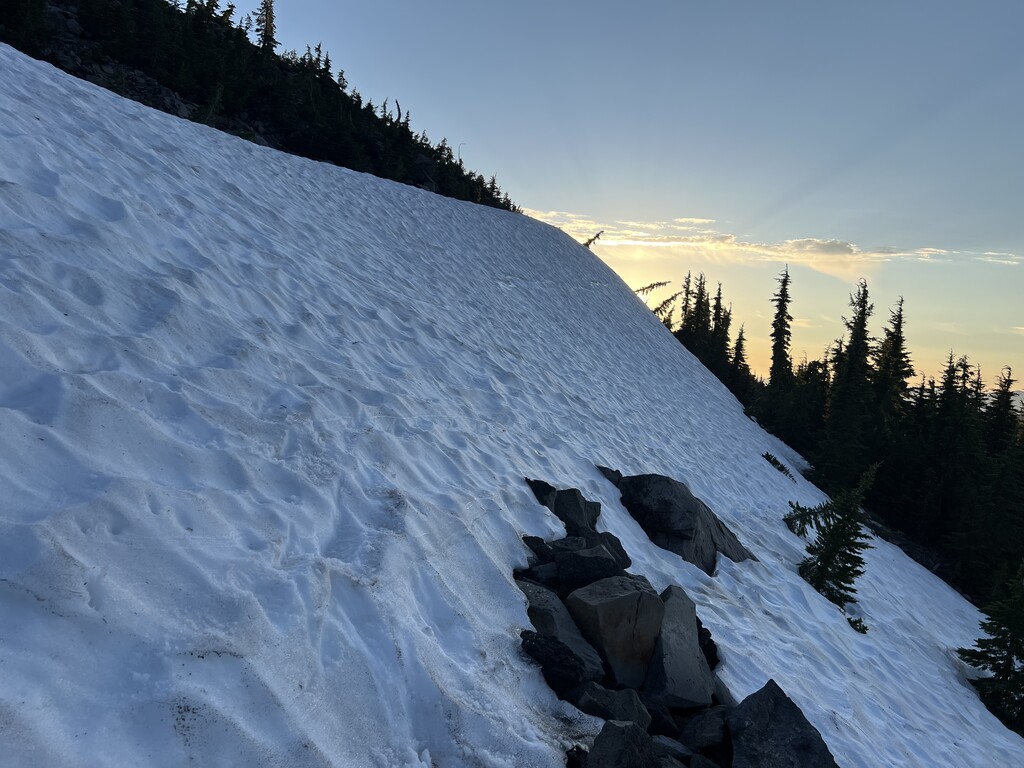
Today was hard—snow, blow downs, and mosquitoes. I had a big descent down Devil’s Peak which was covered in snow. Today was probably the worst day of blowdowns, especially as I walked through a burn area in the afternoon. It was hard to find the trail at times. In the evening I made it to Crater Lake National Park.
Day 6 - OR PCT Mile 160.2
Today I accidentally slept in. I started hiking at 7am. I probably needed the extra sleep because I felt better than normal as I started hiking for the day. Today’s terrain was fairly easy, but there were a lot of blow downs again. This afternoon I started a 21-mile stretch between water sources. I still have 4 miles to go tomorrow morning. This was the longest water carry for me yet, and I felt the weight. I saw three water caches that trail angels put out for PCT hikers and some trail magic with cold sodas, but I had to skip them all.
Day 7 - OR PCT Mile 192.1
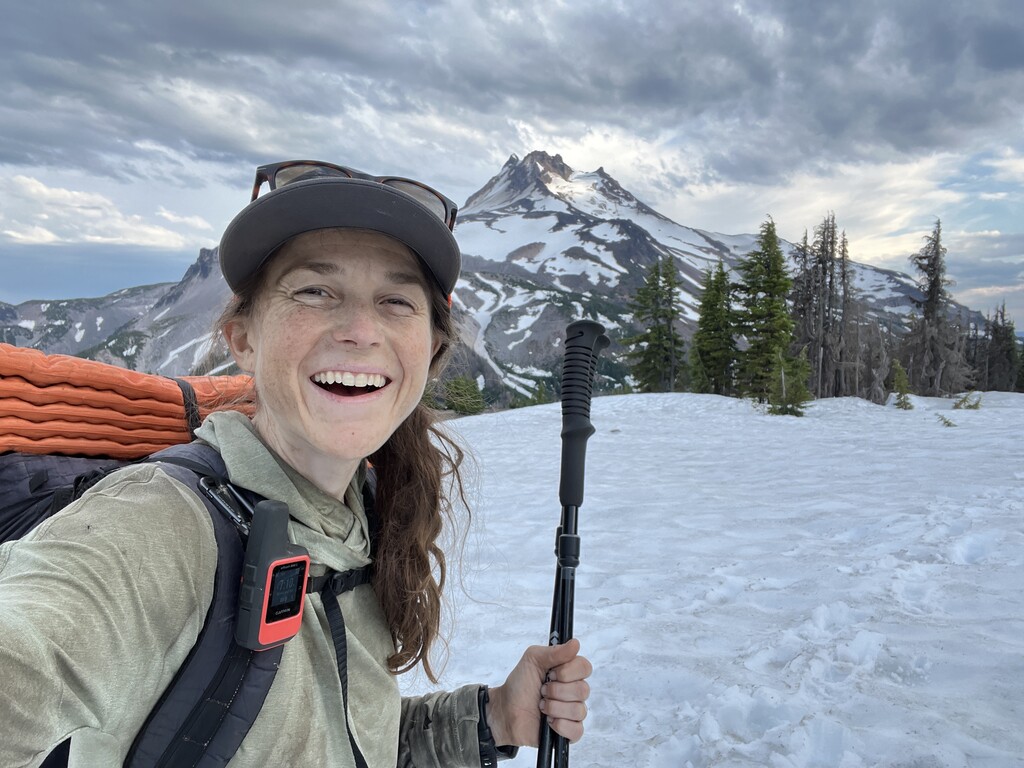
I was feeling pretty good today. The weight of my bag is becoming much more manageable, I am getting into a good routine, and the weather isn’t quite as hot. I managed to do a bigger day than normal. The trail went past Mt. Theilson this morning with beautiful views. There were patches of snow still. I had a 16 mile water carry. This evening was another nice mountain with a few snow patches. There were also some blowdowns today, but nothing compared to the blowdown hell of the last 3 days.
Day 8 - OR PCT Mile 219.9
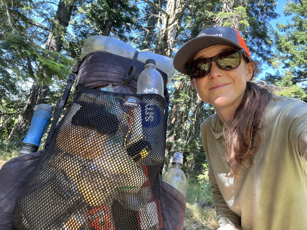
This morning I woke up to an amazing sunrise. I was camped high on a ridge above a lake. When I started hiking though, it was mosquito hell! I do not regret bringing my head bug net and some DEET, as I have been using them quite often. When I got up towards Diamond Peak, I had 5+ miles of snow with patches of trail occasionally. It definitely slowed me down. I fell over a few times. There were also blow downs again today. This evening I walked into Shelter Cove to charge my phone and power bank for an hour. (I brought a 20,000 mAh power bank, but it’s not enough.) Per the rules, I am allowed to charge at public power outlets. I drank my own water while I charged and jealousy watched the thruhikers and public enjoying their beer and pizza.
Day 9 - OR PCT Mile 253.2
My feet hurt a bit this morning from 5 blisters (on my little toes and heels). At lunch I went for a swim. The lake temp was perfect for me—cool not cold. I was only in there for about 5 minutes, but I think it helped my legs and feet a lot. After I sun dried, I redid some of my blister tape and headed back out. My feet felt much better the rest of the day. I only walked on about 3 small patches of snow today, so that made me happy. The blowdowns were manageable--they definitely increased as I entered the Three Sisters Wilderness though.
Day 10 - OR PCT Mile 285.7
The entire day today was in the Three Sisters Wilderness area. It started out with crazy mosquitoes. Then I climbed up to higher elevation and the mosquitoes went away mostly. Yay! The landscape was quite beautiful today with open views of some huge peaks above. At the end of the day, there were switchbacks up and down a lava field. It was super cool but slow moving! There were blowdowns, but a ~5-mile section of trail was actually clear with fresh sawdust. Thank you trail crews! There were also patches of snow, including a traverse across the lava field.
Day 11 - OR PCT Mile 318.3
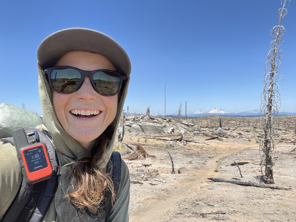
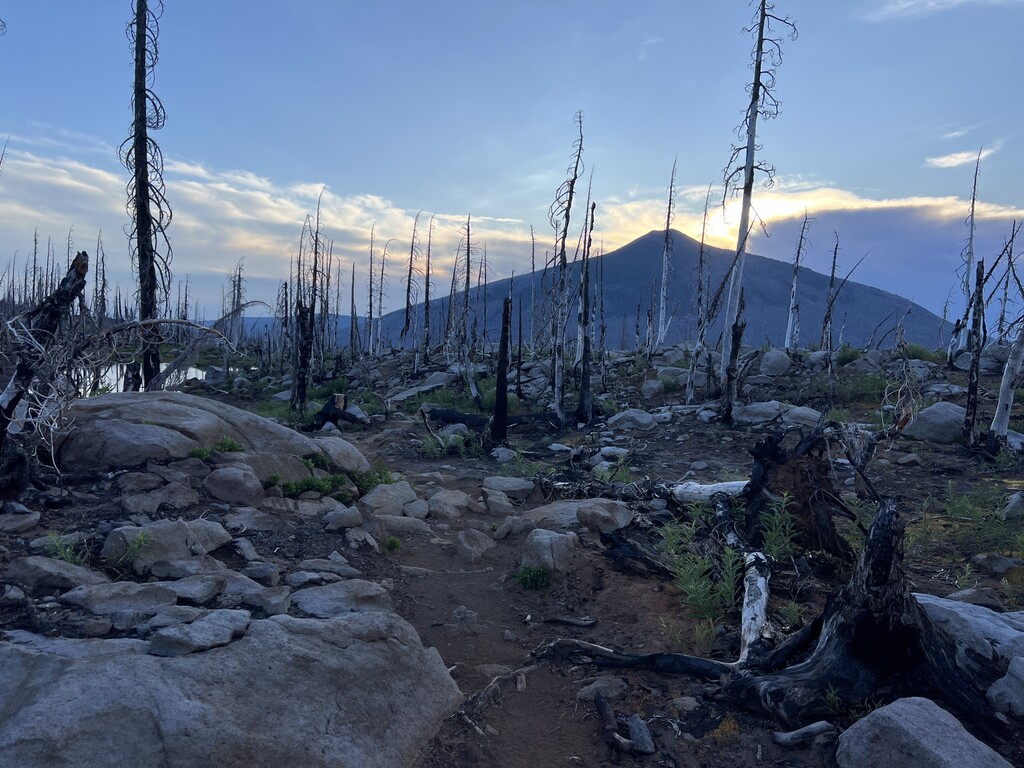
Today was a big day. It started with about 12 miles of lava fields and then I had big climbs on both Mount Washington and Three Finger Jack. The lava fields were hard and slow because I was walking on uneven lava rocks. Three Finger Jack had some snow still—some big patches on the trail including on a couple traverses. The views were magnificent all day. Some burned forest but always big mountains in the distance.
Day 12 - OR PCT Mile 350.3
This morning was challenging and frustratingly slow moving for me. The first ~12 miles had steep/rocky ups and downs, snow, burned forest (exposed and hot), and blow downs. The snow wasn’t constant like Diamond Peak, but there was quite a bit and some of the patches made navigation difficult and some required kicking footsteps in. Then the trail had a long descent to some glacial streams. Next of course was an even longer ascent. The views at the top were amazing though—maybe the best of the Oregon PCT. There was snow at the top, but I was able to “ski” down some of the slopes (slide/walk quickly with my shoes).
Day 13 - OR PCT Mile 390.3
I woke up earlier than usual and was hiking by 5am. I wanted to finish the trail in 3 days, so I knew I had to hike at least 36 miles today. My memory from hiking the entire PCT in 2018 and the map told me that today would be an easier day than most, so I also had a 40 mile goal in the back of my head. The day was overall downhill with gentle ups and downs. I only stepped on one patch of snow, and there were only 10 or less down trees on the trail with lots of fresh sawdust the entire way. I made my 40 mile goal! Yay!
Day 14 - OR PCT Mile 423.0
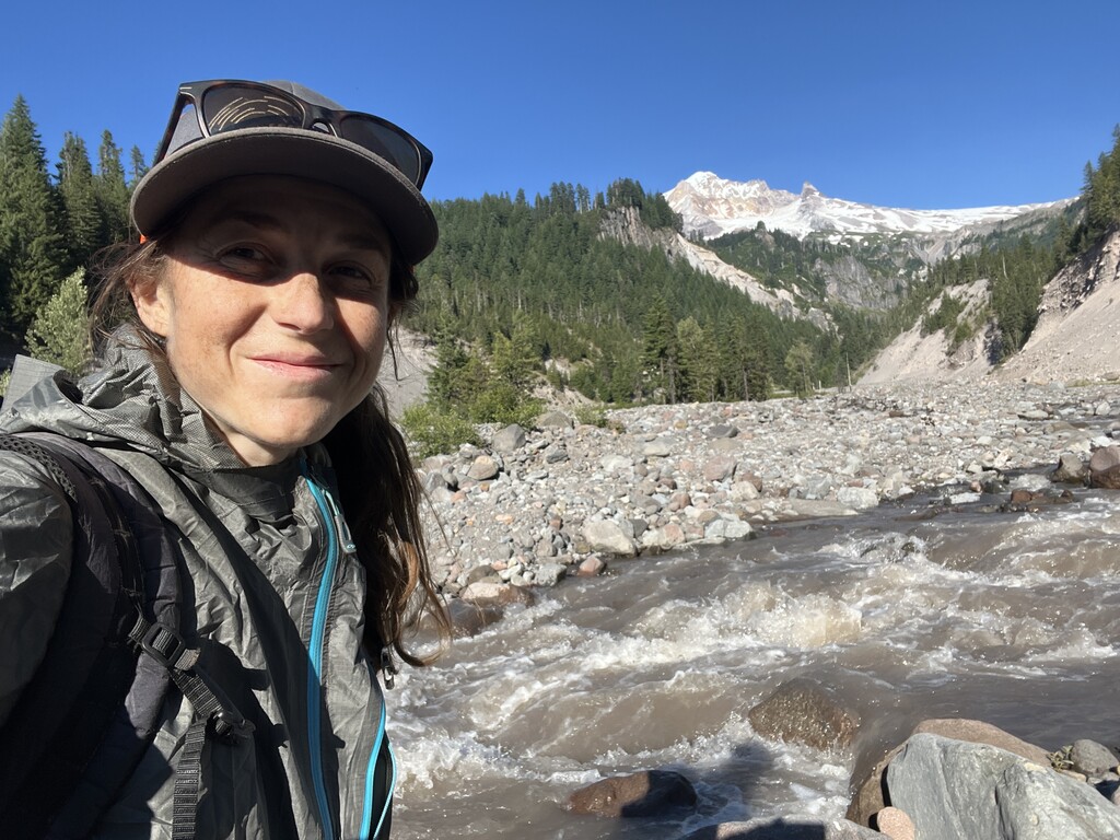
I was a bit sore today after yesterday’s 40 mile day. Today started with a ~16 mile ascent up the side of Mount Hood. The soil is super sandy, so it made the trail hard to walk in spots. I stopped at Timberline Lodge for an hour to charge my phone. I sat outside drinking my water and jealousy watched the public drinking their beers. I had a big river crossing--I had to go pretty far upstream to find a safe place to cross. I ended up hiking later than normal to set myself up to finish tomorrow.
Day 15 - OR PCT Mile 457.0
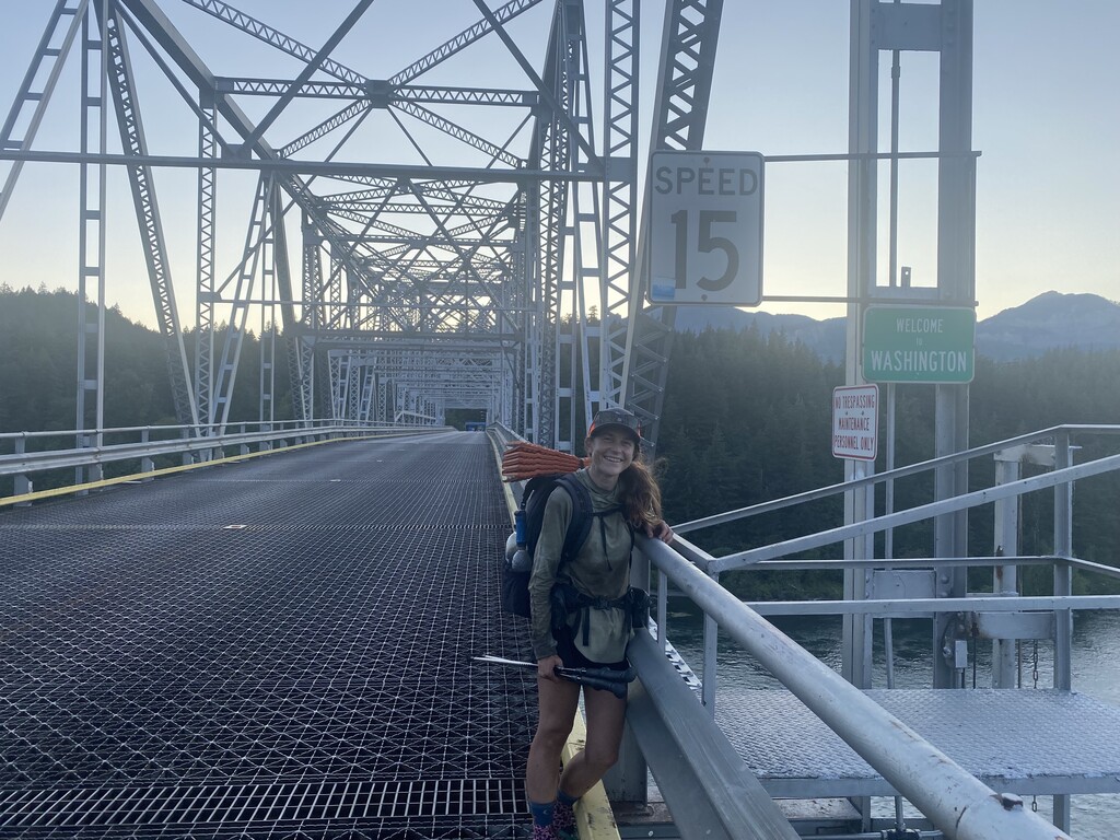
I woke up early with a goal to finish before 10pm in order to beat the previous record of 16:04:44 by 1.5 days. I was tired but motivated to finish. The end of the day was a long descent to the Bridge of the Gods over the Columbia River. I was hoping the descent would be fast and easy, but my feet were not happy. I made it to the OR-WA border at 8:18pm! My total time was 14 days, 14 hours, and 26 minutes!
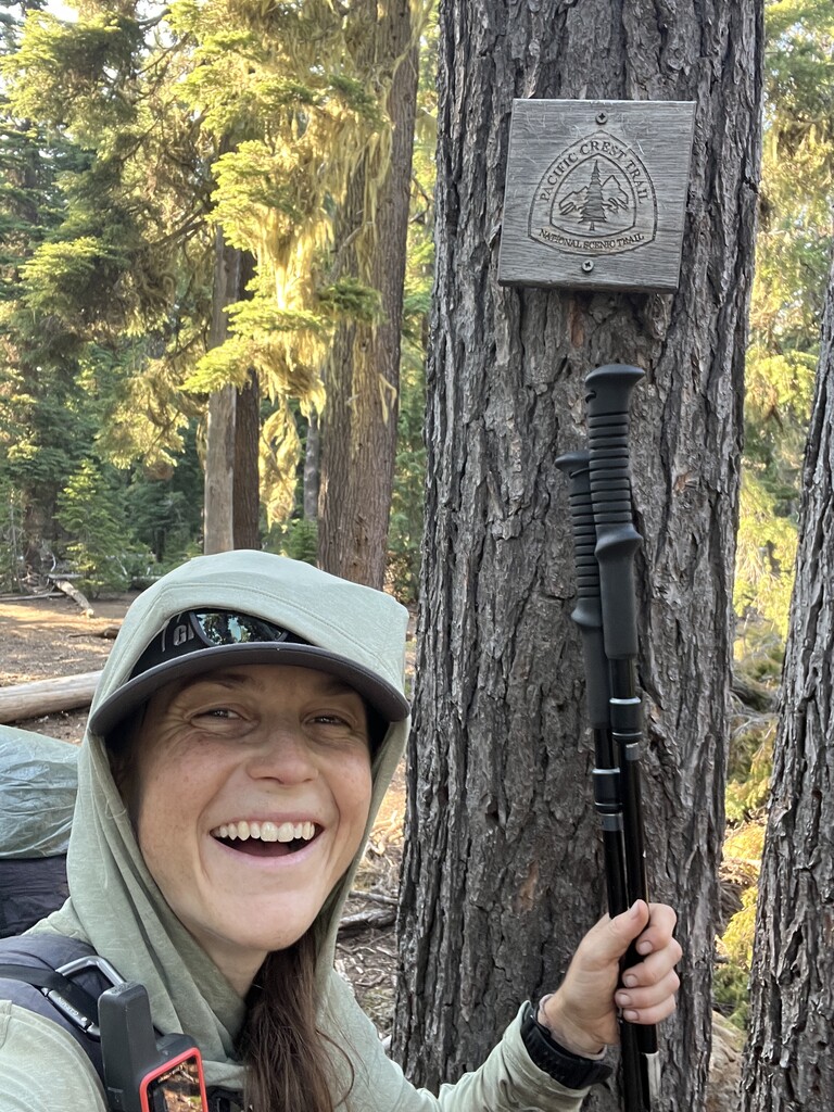
More detailed descriptions, analysis, and additional photos/videos will be posted on my website (thruhikers.co) and on social media (@thruhikers).