
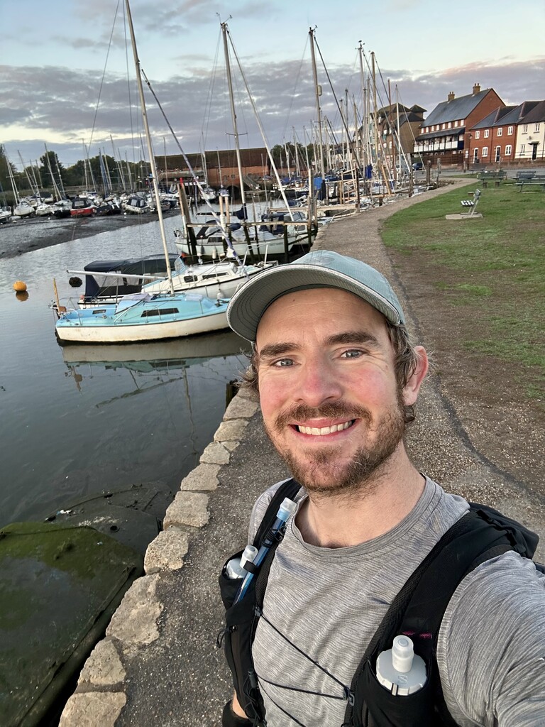
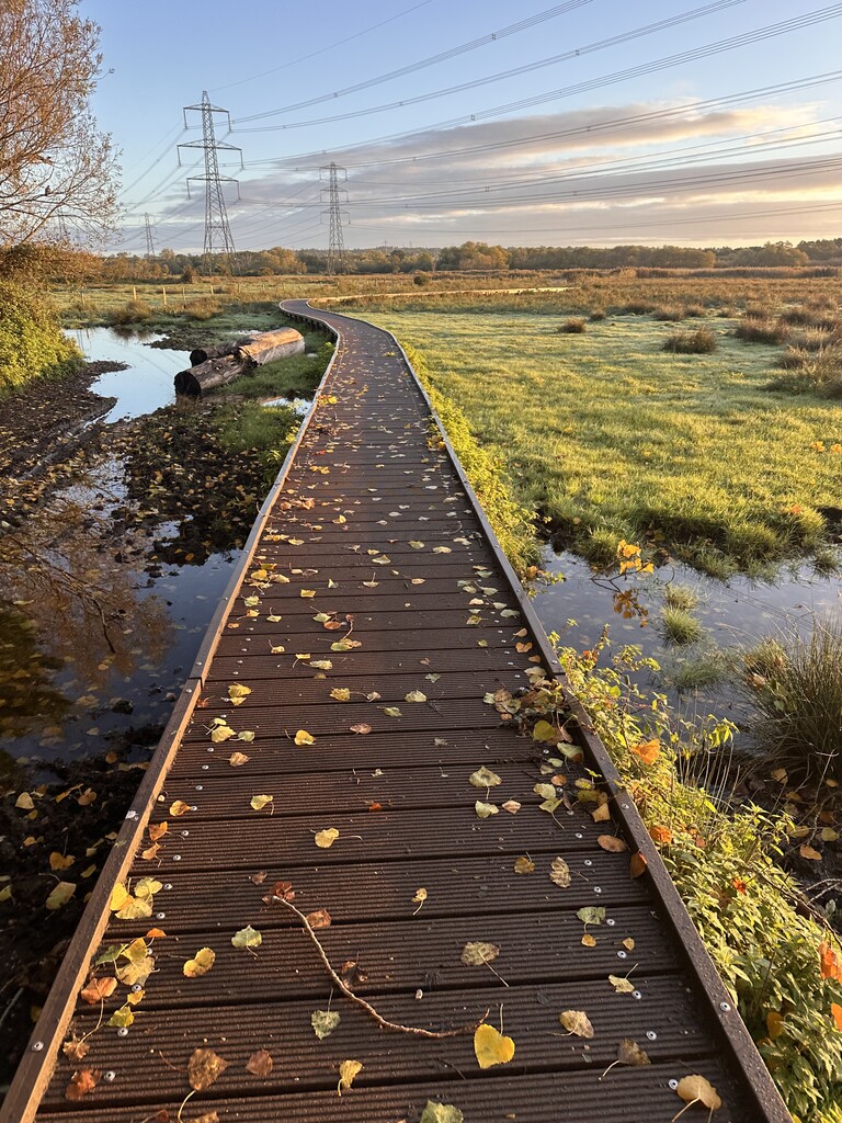
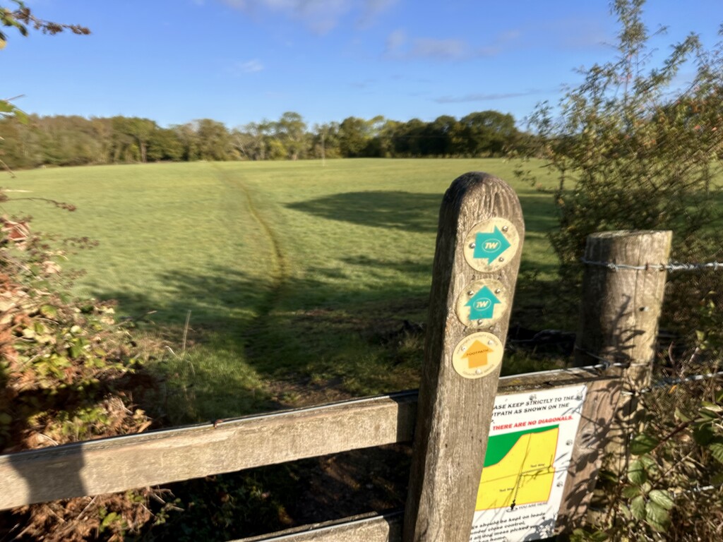

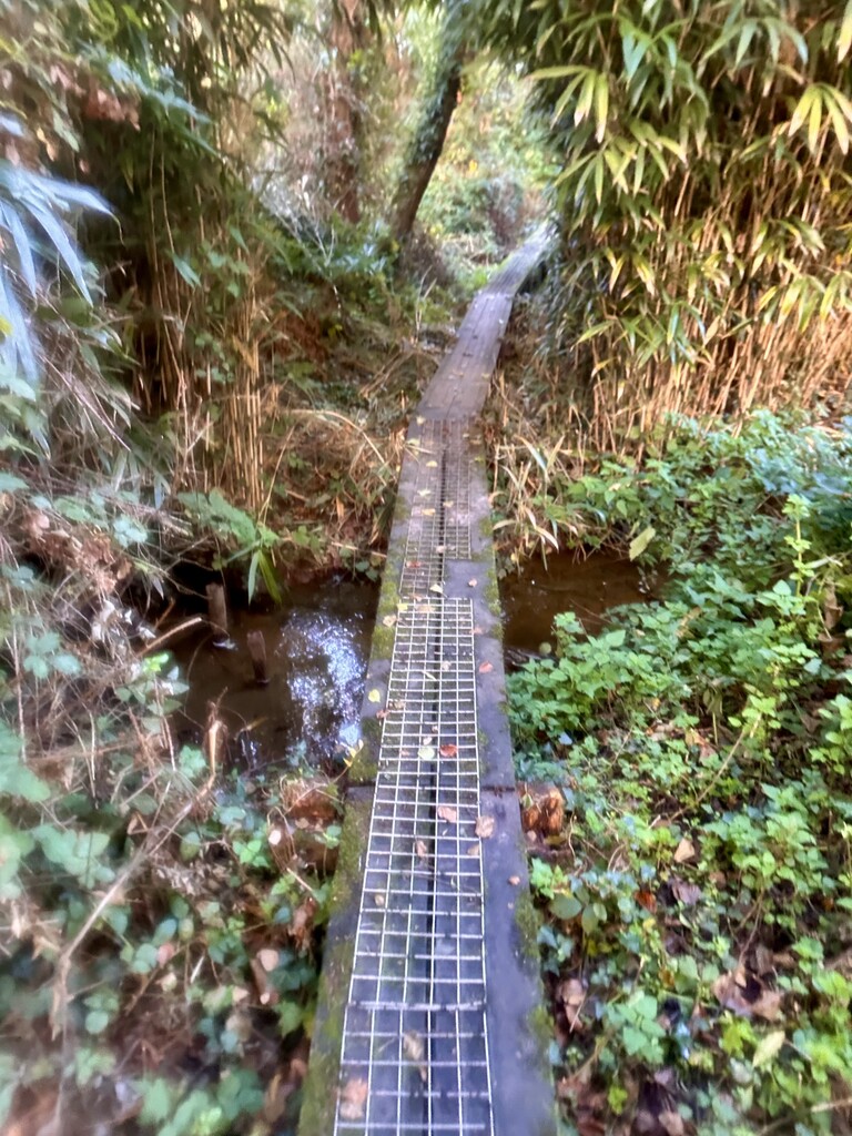
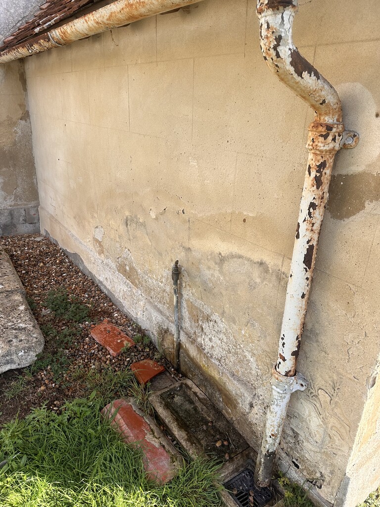
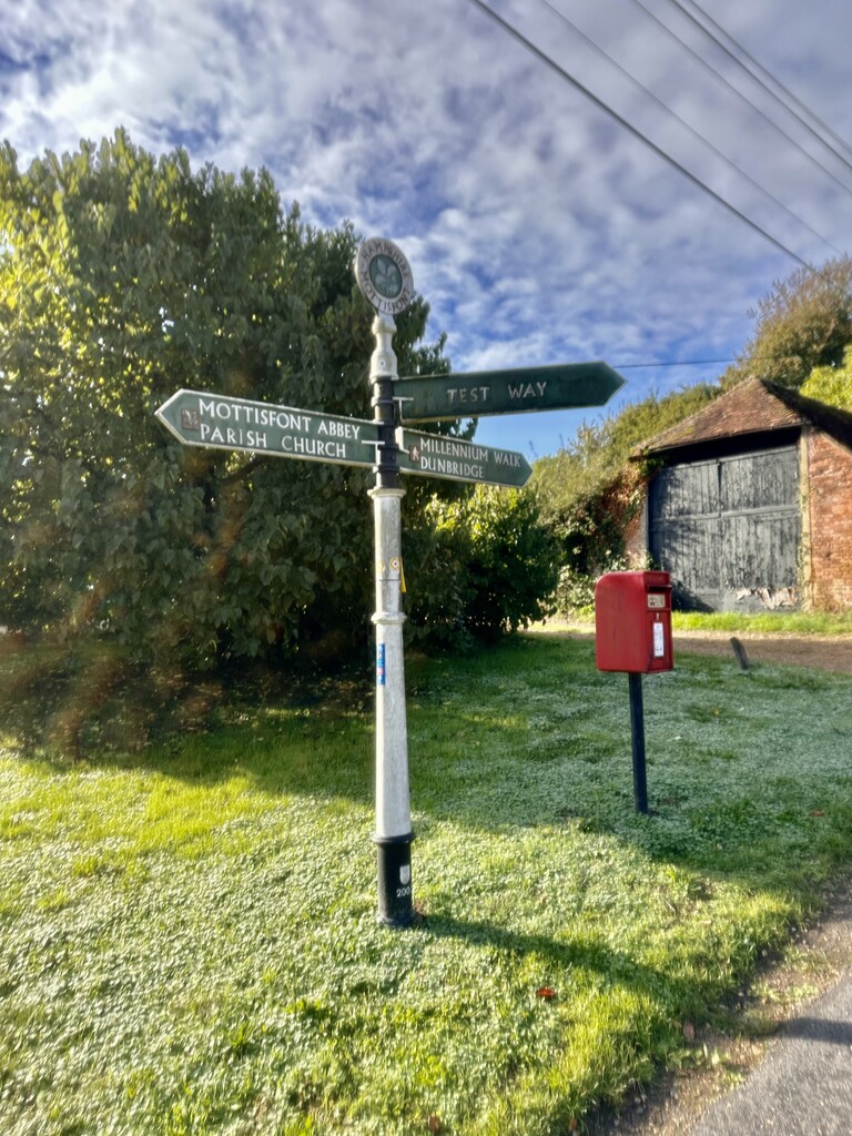
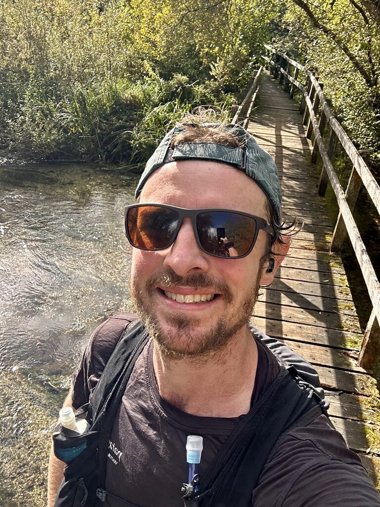
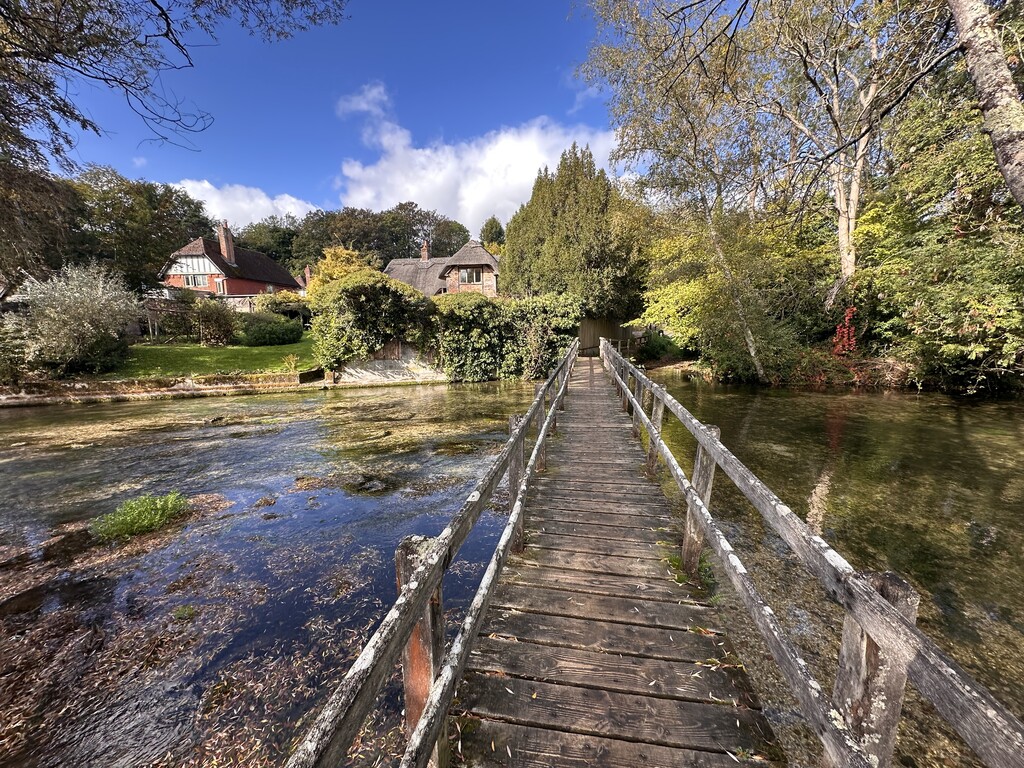
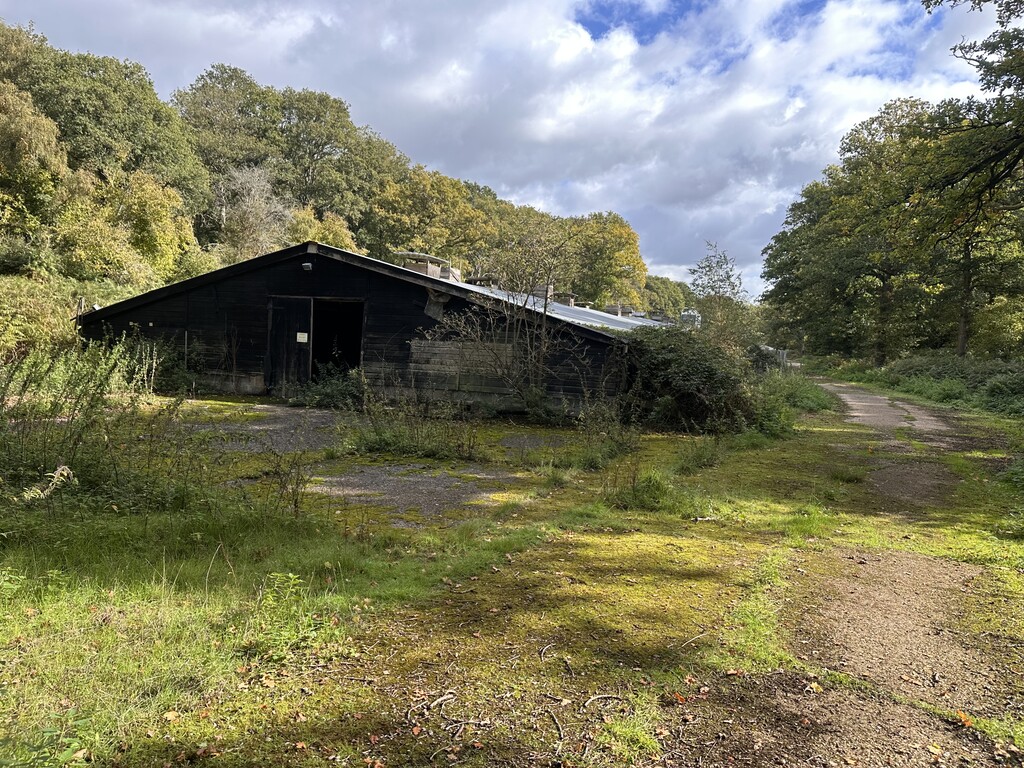
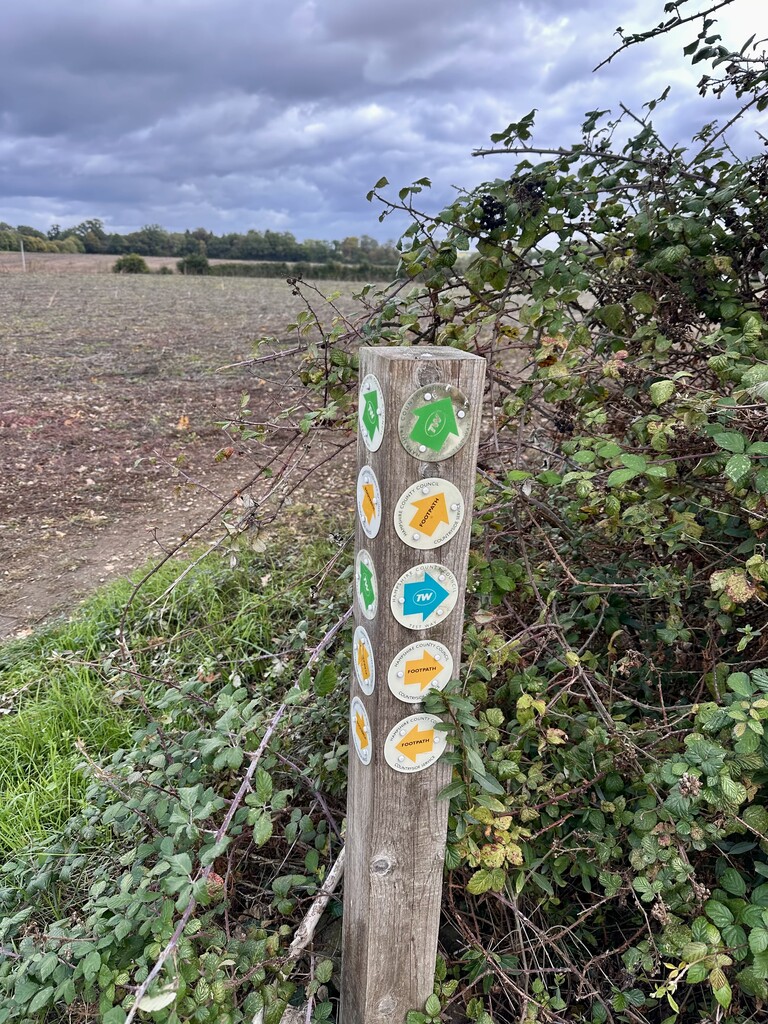

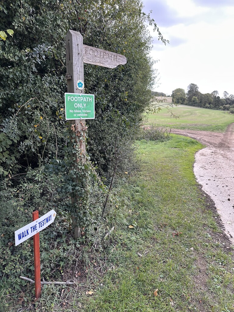

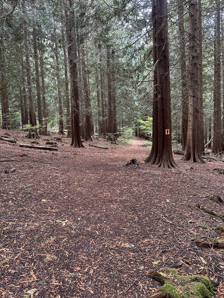
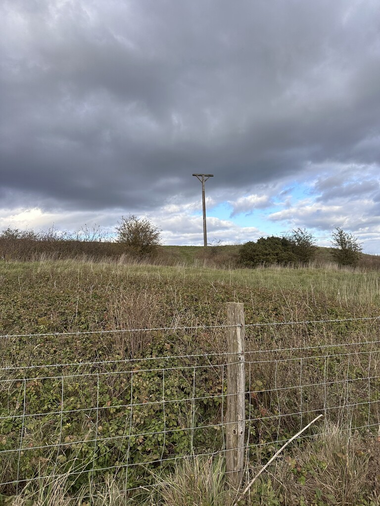
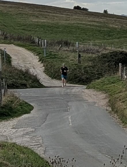

On Saturday the 10th of October I ran the Testway, in reverse from Eling Quay to Inkpen Hill, unsupported. I carried all fuel, electrolytes, 1st aid and pre filled water bottles in a 12L running vest and belt. I had two confirmed public water points from a previous recce, at a church and a village hall with a public tap outside. I also planned to stop at the church in Mottisfont in hope that there’s a water point, which luckily paid off on the day. Conditions were perfect, sunny with a slight chill, and the trails were pretty dry, albeit a little overgrown.
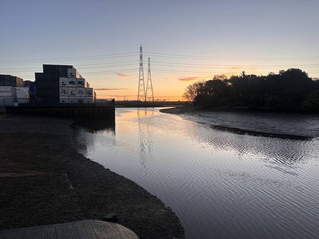
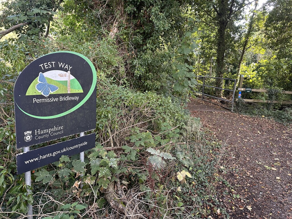
There was no signage at Eling Quay to signify the start of the Test Way, so I started at the slipway, as far as you can get along the quay.
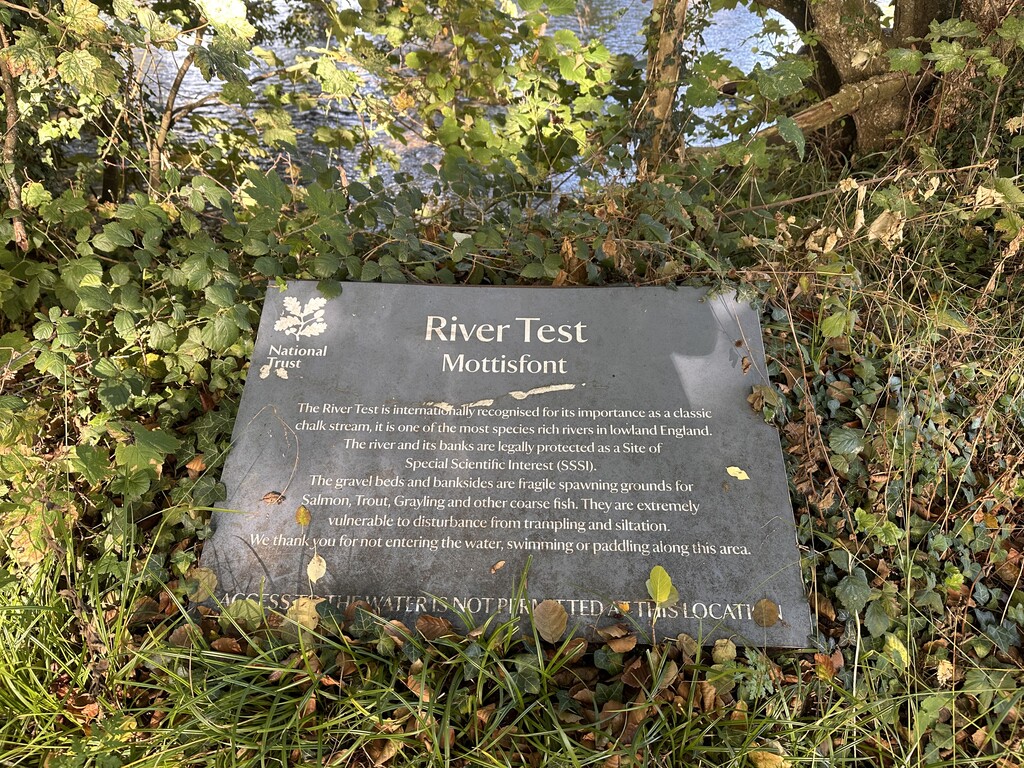
Starting at 7:30am, I followed the route at a steady pace through Totton, Romsey and all the way to Mottisfont (mile 14). From there I cracked on to Chilboton, along the 8 mile stretch of disused rail line that passes briefly through Stockbridge. Bit of a monotonous challenge, but glad to get over in the early stage of the run. This was the main reason I decided to run the route in reverse.
From Chilboton (mile 24), the terrain and landscape starts to change and becomes more undulating. I changed my socks, T-shirt and running strategy to hiking hills and running flats and descents. I had some stomach difficulties around mile 27, where I was sick from all the sweet food consumed. This sorted itself out after upping the salt and electrolyte intake.
I took a few minor detours during the run which resulted in some time loss. Once near Romsey, where I took a right at Saddlers Mill, instead of left, but turned around when I realised I was off course. Second was at the playing field in Longparish. I followed the path to the right of the field and exited via the pub carpark and on to the main road, where my watches GPX flagged I took a wrong turn. I doubled back and spotted a wooden door slightly hidden along the fencing across the field. Navigation for rest of the run went fairly smoothly.
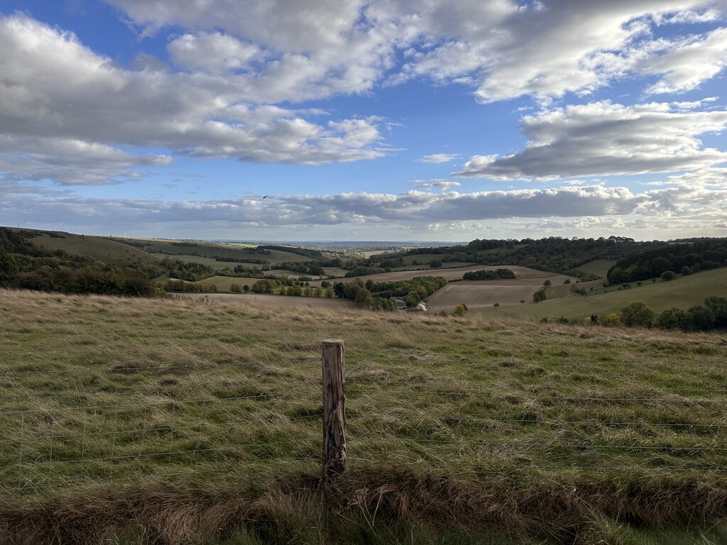
The last third of the run was the toughest in terms of elevation across the downs, but by far my favourite part for the views and variation of terrain.
By the time I got to Linkenholt (mile 43) I got my second wind and picked up the pace and kept it going until the finish at Inkpen Hill.
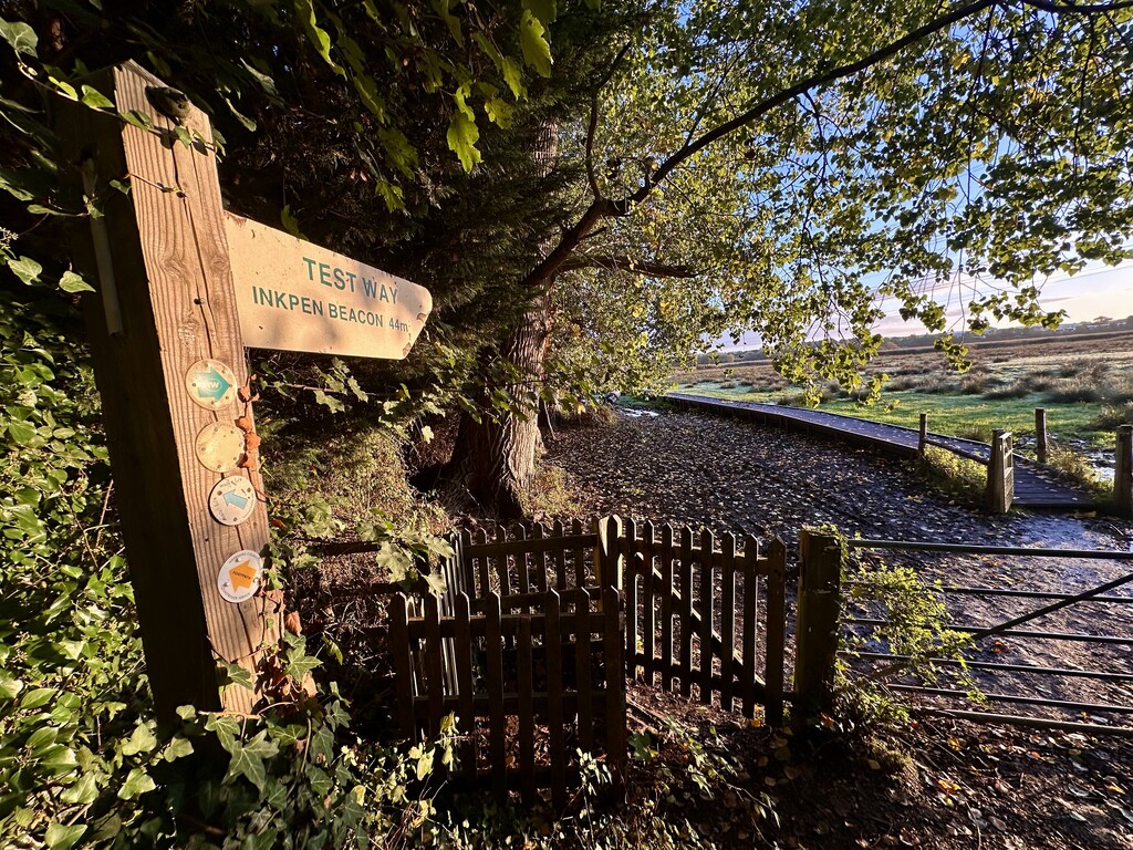
Same as the start, there was no signage to indicate the start/ finish point of the Test Way. I finished the run at the Carpark at the top of Inkpen Hill, which is a little way past the Combe Gibbet.