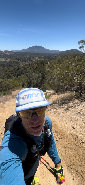
Up at 2:30am and drove outta the desert up into cooler climes. A few miles short of my start at Thomas Mountain Rd (a mile from Lake Hemet), I dropped a bear cannister with goodies and some water off at the 74/371 junction near the Paradise Cafe (about 50k into my trip later that day), and got ready to run. It was a brisk 29 degrees and a little windy and realized I didn't bring my windbreaker so I had to squeeze into one of my kids old school hoodies (100% heavy cotton haha) to deal with the early cold. My feet hit pavement at 4:12am.
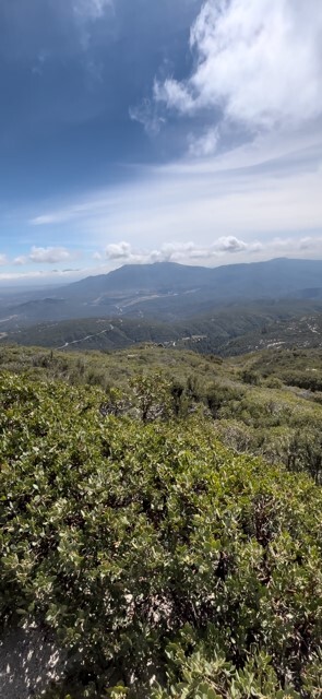
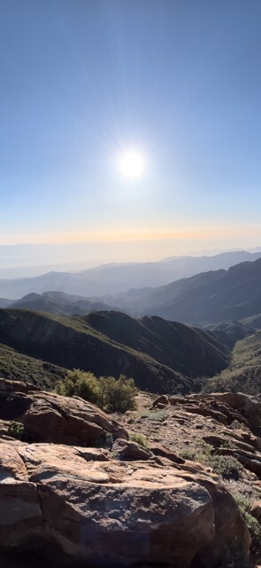
I got the road section (3.5 miles) out of the way and was happy to see dirt. The first dirt section was fire road that goes through a small ranch community eventually. There was a nice stream crossing that was flowing very well (Hurkey Creek). I hopped a few boulders on the side of the well-submerged road and kept on. By mile 9, I had enough of the hoody (so sweaty haha) and started up the Spitler Peak trail. This is a great climb up about 5 miles and 2,000 ft. The sun was out by now and the Garner Valley and Lake Hemet were beautiful in the distance. When I topped out on the trail at the PCT, I was in the direct sun and could see the Palms Springs area down below.
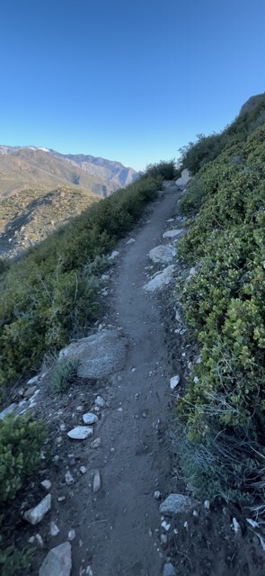
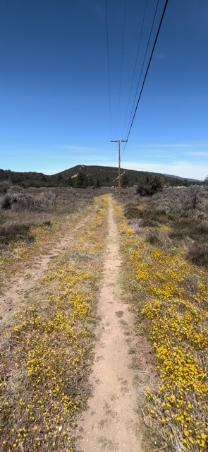
While on the PCT, I ran into about 2-3 dozen thru-hikers over about 16.5 miles as I travelled south on the PCT until I crossed HWY 74. Everyone was friendly and quickly moved aside as I was popping through. Even though it wasn't necessarily hot, the exposure was draining me a bit so, after I crossed 74, turned right on the powerline road(ish) for a mile, crossed the 371 and found my stash in the trees, I had me about a 20-minute picnic. It was what I needed. 31 miles behind and 17 more to go up and down Thomas Mountain.
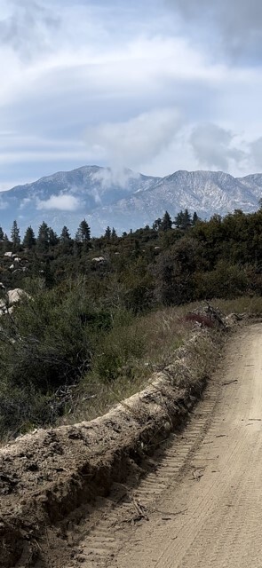
The first section on the eastern ridge of Thomas is not pointed out with signs, but once you get there, it's pretty obvious (but I suggest you download the route). It begins as an old jeep road that's no longer maintained but is still used from time to time by animals in general and horses specifically. Its straight up and straight down on repeat for about 2 miles. It just follows the ridge until you get dumped onto the Thomas Mountain (dirt) Road. More exposure here until you get near the top so I just slowed my pace and tried to enjoy it until I could find shade further on. The wind that would whip periodically was very welcomed. The views constantly changed. The beautiful Garner Valley with it's lake, streams, meadows and boulder fields was always in sight, but at times the desert far below and Salton Sea to the east, the green Anza valley to the south, Palomar off to the West and mighty San Jacinto to the North. The scenery kept my spirits up until I started heading down the other side of Thomas back to where I started my loop. I had a bit of a knee problem so I kept a manageable pace and stopped a couple of times to take it all in.
I finished back at HWY 74 completing the loop at 48.03 miles in 11:56:53. Not a bad way to spend a Saturday.