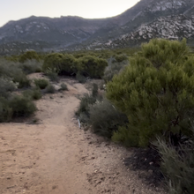
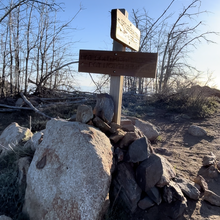
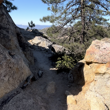
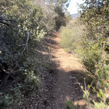
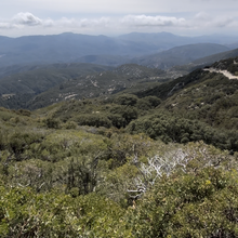
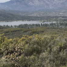
This ridge loop that surrounds Garner Valley gives beautiful views on all sides! It’s a mix of fire roads, 3.5 miles of a two lane highway, abandon Jeep roads turned animal Trail and 16.5 miles of the iconic PCT! A little bit of everything! The route hangs between 5000 to 7000 feet as it meanders through pine studded forests, manzanita hill country and flower filled meadows.
There are multiple start/finish points depending on your strategy for water drops or stream access (when water is flowing). There are streams on Hwy 74, Bonita Vista Rd, Spitler Peak trailhead, the lower part of the PCT and a spring near the top of Thomas Mountain. There’s even a lil country diner along the route you could utilize to put some calories back in when you’re done. Some of the roads and trails are clearly marked on most maps but the abandoned route that climbs up the east ridge of Thomas Mountain (2 mile section) is not marked so, although it’s not hard to find, it helps to have the route downloaded. There are a couple of gates but those are to keep out vehicles, not foot traffic.
These trails/roads have been run for years but they’re finally put together as a full loop!! Great challenge!! Have fun!!

